Steeple View

Settlement in Essex Basildon

England

Steeple View

High Road, Laindon
High Road, Laindon Credit: Alan Hughes

Steeple View is a quaint and picturesque village located in the county of Essex, England. Situated in the idyllic countryside, this small community offers a peaceful and scenic environment for its residents. With a population of around 500, Steeple View exudes a close-knit and friendly atmosphere.

The village is characterized by its charming architecture, consisting mainly of traditional English cottages with thatched roofs and well-manicured gardens. The centerpiece of Steeple View is its beautiful church, which dates back to the 12th century and stands proudly at the heart of the village. This historic building is a significant landmark and a reminder of the village's rich heritage.

Surrounded by lush green fields and rolling hills, the village offers numerous opportunities for outdoor activities and exploration. Residents and visitors can enjoy scenic walks along the countryside trails, taking in the breathtaking views of the surrounding landscape. The village also boasts a well-maintained park, complete with a playground and recreational facilities, providing a perfect spot for families to unwind and enjoy picnics.

In terms of amenities, Steeple View has a local convenience store that caters to the daily needs of its residents. However, for a wider range of shopping options and services, the nearby town of Essexville is easily accessible within a short drive.

Overall, Steeple View offers a peaceful and picturesque setting, making it an ideal place for those seeking a tranquil and close-knit community amidst the beauty of the Essex countryside.

If you have any feedback on the listing, please let us know in the comments section below.

Steeple View Images

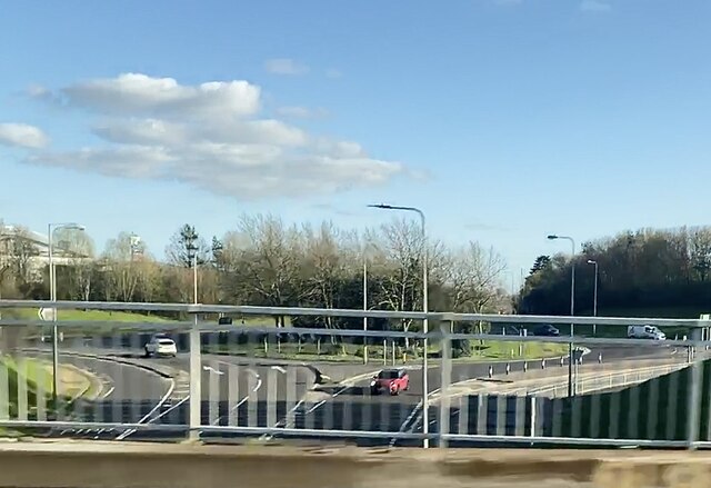
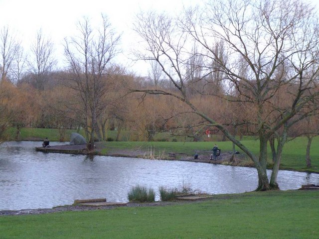
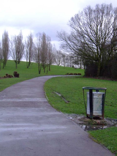
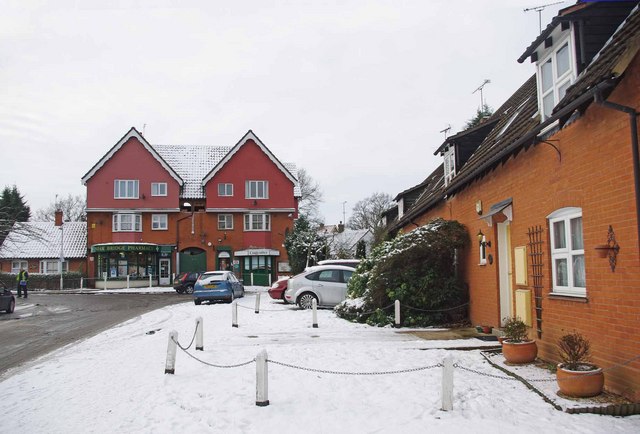
Images are sourced within 2km of 51.585767/0.43002421 or Grid Reference TQ6890. Thanks to Geograph Open Source API. All images are credited.

High Road, Laindon
High Road, Laindon
Festival Leisure Park from the air A "one stop leisure centre" <span class="nowrap"><a title="http://www.festivalleisure.co.uk/?AspxAutoDetectCookieSupport=1" rel="nofollow ugc noopener" href="http://www.festivalleisure.co.uk/?AspxAutoDetectCookieSupport=1">Link</a><img style="margin-left:2px;" alt="External link" title="External link - shift click to open in new window" src="https://s1.geograph.org.uk/img/external.png" width="10" height="10"/></span> in Basildon.
Festival Leisure Park from the air
A "one stop leisure centre" LinkExternal link in Basildon.
Upper Mayne roundabout, Pipp’s Hill
View towards Poles Wood
Steeple View Farm Farmland north of Laindon, Basildon.
Steeple View Farm
Farmland north of Laindon, Basildon.
McDonald’s On Southend arterial road.
McDonald’s
On Southend arterial road.
Pipps Hill roundabout
Noak Hill Road, Noak Bridge
Gloucester Park Basildon - The Lake Within a few hundred yards of Basildon Town Centre lies the 250 acres of Gloucester Park. Numerous sports pitches, an athletics stadium and swimming pool. The lake is always popular with local anglers.
Gloucester Park Basildon - The Lake
Within a few hundred yards of Basildon Town Centre lies the 250 acres of Gloucester Park. Numerous sports pitches, an athletics stadium and swimming pool. The lake is always popular with local anglers.
St Nicholas church - Laindon The exact date of construction of the present St Nicholas Church is not known but it is believed to have been built during the 13th Century. The present church, or at least, the nave, must have been standing by 1254, when the first recorded rector, Richard de List, is known to have been at St Nicholas, although nothing else is known of him.
St Nicholas church - Laindon
The exact date of construction of the present St Nicholas Church is not known but it is believed to have been built during the 13th Century. The present church, or at least, the nave, must have been standing by 1254, when the first recorded rector, Richard de List, is known to have been at St Nicholas, although nothing else is known of him.
Royal Court  on Brookmeade; Laindon “High Rise” accommodation is not a common feature of Laindon but the 1960’s high density living planners still managed to throw up a couple of blocks here.
Royal Court on Brookmeade; Laindon
“High Rise” accommodation is not a common feature of Laindon but the 1960’s high density living planners still managed to throw up a couple of blocks here.
Ford's Dunton Technical Centre "Automobile Research Centre" on the OS maps.
Ford's Dunton Technical Centre
"Automobile Research Centre" on the OS maps.
Gloucester Park (1)
Gloucester Park (1)
Gloucester Park (3) - fishing lake
Gloucester Park (4)
Gloucester Park (4)
Chowdhary School, Markhams Chase
Ballards Walk The bus on the left is Eastern National service 500 on its way back from Westley Road.
Ballards Walk
The bus on the left is Eastern National service 500 on its way back from Westley Road.
Alleyway Behind Markhams Chase
Show me another place!

Steeple View is located at Grid Ref: TQ6890 (Lat: 51.585767, Lng: 0.43002421)

Administrative County: Essex

District: Basildon

Police Authority: Essex

What 3 Words

///shows.brand.ranked. Near Basildon, Essex

Nearby Locations

Steeple View

Related Wikis

Noak Bridge

Noak Bridge is a housing estate and civil parish on the northern edge of Basildon in the Borough of Basildon, Essex. The estate takes its name from the...

James Hornsby School

The James Hornsby School is a co-educational secondary school located in Laindon, in the Borough of Basildon, Essex, England. It was formed from the merger...

PROCAT

PROCAT is a further education college based in Basildon, Essex, England, with an additional campus in Canvey Island. PROCAT is an acronym of "Prospect...

Laindon

Laindon is a town and civil parish, which now forms part of the town of Basildon, in the Basildon district, in Essex, England. It is between Basildon and...

Nearby Amenities

Located within 500m of 51.585767,0.43002421
Motorway Junction
Fortune of War
Lat/Long: 51.5836229/0.4246708
Bus Stop
Old Fortune
Bus: yes
Naptan AtcoCode: 150007001009
Naptan Bearing: S
Naptan CommonName: Old Fortune
Naptan Crossing: Wash Road
Naptan Indicator: S-bound
Naptan Landmark: Old Fortune
Naptan NaptanCode: esxajdwp
Naptan PlusbusZoneRef: BASILDN
Naptan Street: Noak Hill Road
Naptan Verified: no
Public Transport: platform
Source: naptan_import
Lat/Long: 51.5889168/0.4313526
Bus Stop
Old Fortune
Bus: yes
Naptan AtcoCode: 150007001010
Naptan Bearing: N
Naptan CommonName: Old Fortune
Naptan Crossing: Wash Road
Naptan Indicator: N-bound
Naptan Landmark: Old Fortune
Naptan NaptanCode: esxajagp
Naptan PlusbusZoneRef: BASILDN
Naptan Street: Noak Hill Road
Naptan Verified: no
Public Transport: platform
Source: naptan_import
Lat/Long: 51.5892176/0.430965
Bus Stop
Osier Drive
Bus: yes
Naptan AtcoCode: 150036014001
Naptan Bearing: SE
Naptan CommonName: Osier Drive
Naptan Crossing: Osier Drive
Naptan Indicator: Adj
Naptan Landmark: Osier Drive
Naptan NaptanCode: esxdmdmd
Naptan PlusbusZoneRef: BASILDN
Naptan Street: Willowfield
Naptan Verified: no
Public Transport: platform
Source: naptan_import
Lat/Long: 51.586112/0.429803
Bus Stop
Dunton Road
Bus: yes
Naptan AtcoCode: 150036014003
Naptan Bearing: NE
Naptan CommonName: Dunton Road
Naptan Crossing: Dunton Road
Naptan Indicator: Adj
Naptan Landmark: Dunton Road
Naptan NaptanCode: esxdmdmg
Naptan PlusbusZoneRef: BASILDN
Naptan Street: High Road
Naptan Verified: no
Public Transport: platform
Source: naptan_import
Lat/Long: 51.5876862/0.4293528
Bus Stop
Dunton Road
Bus: yes
Naptan AtcoCode: 150036014004
Naptan Bearing: SW
Naptan CommonName: Dunton Road
Naptan Crossing: Dunton Road
Naptan Indicator: Opp
Naptan Landmark: Dunton Road
Naptan NaptanCode: esxdmdmj
Naptan PlusbusZoneRef: BASILDN
Naptan Street: High Road
Naptan Verified: no
Public Transport: platform
Source: naptan_import
Lat/Long: 51.587579/0.4293182
Bus Stop
Steeple View
Naptan AtcoCode: 150036015001
Naptan Bearing: E
Naptan CommonName: Steeple View
Naptan Crossing: Steeple View
Naptan Indicator: Opp
Naptan Landmark: Steeple View
Naptan NaptanCode: esxdmdmw
Naptan PlusbusZoneRef: BASILDN
Naptan Street: Dunton Road
Naptan Verified: no
Public Transport: platform
Source: naptan_import
Lat/Long: 51.5883566/0.4252018
Bus Stop
Steeple View
Naptan AtcoCode: 150036015002
Naptan Bearing: W
Naptan CommonName: Steeple View
Naptan Crossing: Steeple View
Naptan Indicator: Adj
Naptan Landmark: Steeple View
Naptan NaptanCode: esxdmdmp
Naptan PlusbusZoneRef: BASILDN
Naptan Street: Dunton Road
Naptan Verified: no
Public Transport: platform
Source: naptan_import
Lat/Long: 51.5883018/0.424809
Bus Stop
Church Road
Bus: yes
Naptan AtcoCode: 150036022002
Naptan Bearing: E
Naptan CommonName: Church Road
Naptan Crossing: Church Road
Naptan Indicator: E-bound
Naptan Landmark: Church Road
Naptan NaptanCode: esxdpatm
Naptan PlusbusZoneRef: BASILDN
Naptan Street: Noak Hill Road
Naptan Verified: no
Public Transport: platform
Source: naptan_import
Lat/Long: 51.5860502/0.4371191
Bus Stop
Willowfield
Bus: yes
Naptan AtcoCode: 1500IM2373
Naptan Bearing: E
Naptan CommonName: Willowfield
Naptan Crossing: High Road
Naptan Indicator: E-bound
Naptan Landmark: Willowfield
Naptan NaptanCode: esxdmgdg
Naptan PlusbusZoneRef: BASILDN
Naptan Street: Willowfield
Naptan Verified: no
Public Transport: platform
Source: naptan_import
Lat/Long: 51.5833085/0.4253371
Bus Stop
Church Road
Bus: yes
Naptan AtcoCode: 1500IM965
Naptan Bearing: W
Naptan CommonName: Church Road
Naptan Crossing: Church Road
Naptan Indicator: W-bound
Naptan Landmark: Church Road
Naptan NaptanCode: esxdmgdj
Naptan PlusbusZoneRef: BASILDN
Naptan Street: Noak Hill Road
Naptan Verified: no
Public Transport: platform
Source: naptan_import
Lat/Long: 51.5859705/0.4361909
Bus Stop
Osier Drive
Bus: yes
Naptan AtcoCode: 1500LNWILLO2
Naptan Bearing: NW
Naptan CommonName: Osier Drive
Naptan Crossing: Osier Drive
Naptan Indicator: Opp
Naptan Landmark: Osier Drive
Naptan NaptanCode: esxdpamw
Naptan PlusbusZoneRef: BASILDN
Naptan Street: Willowfield
Naptan Verified: no
Public Transport: platform
Source: naptan_import
Lat/Long: 51.586512/0.4291602
Post Box
Ref: SS15 423
Lat/Long: 51.587865/0.4347719
Motorway Junction
Fortune of War
Lat/Long: 51.5840942/0.4245991
Traffic Calming: choker
Lat/Long: 51.5882444/0.4280272
Crossing
Crossing: unmarked
Kerb: lowered
Lat/Long: 51.5835072/0.4246318
Crossing
Crossing: uncontrolled
Crossing Ref: zebra
Lat/Long: 51.5832776/0.4248768
Barrier: bollard
Lat/Long: 51.5837024/0.4328651
Barrier: cycle_barrier
Lat/Long: 51.583432/0.42476
Crossing
Crossing: unmarked
Crossing Island: yes
Kerb: lowered
Tactile Paving: yes
Lat/Long: 51.5883226/0.431245
Crossing
Bicycle: yes
Crossing: traffic_signals
Crossing Ref: toucan
Lat/Long: 51.5879424/0.431742
Steeple View
Place: suburb
Lat/Long: 51.58647/0.4236759
Traffic Calming: island
Lat/Long: 51.5881886/0.4315228
Traffic Signals
Traffic Signals Direction: forward
Lat/Long: 51.5879716/0.4317153
Traffic Signals
Traffic Signals Direction: backward
Lat/Long: 51.5879103/0.4317674
Crossing
Crossing: unmarked
Lat/Long: 51.588159/0.4316869
Bus Stop
Willowfield
Bus: yes
Naptan AtcoCode: 1500IM2373AA
Naptan NaptanCode: esxjajmp
Naptan Verified: no
Public Transport: platform
Source: naptan
Lat/Long: 51.5832411/0.4252845
Laindon Cross
Place: neighbourhood
Lat/Long: 51.588064/0.4306942
Colour: red and white
Marker: aerial
Material: plastic
Utility: gas
Lat/Long: 51.5889701/0.4275402
Colour: red and white
Marker: aerial
Material: plastic
Utility: gas
Lat/Long: 51.5889753/0.4280648
Colour: yellow
Marker: post
Material: concrete
Utility: gas
Lat/Long: 51.5879278/0.4299699
Colour: yellow
Marker: post
Material: concrete
Utility: gas
Lat/Long: 51.588217/0.4296249
Colour: red and white
Marker: aerial
Material: plastic
Utility: gas
Lat/Long: 51.5882203/0.4296252
Colour: yellow
Inscription: GAS LTS HP GAS PIPELINE
Marker: post
Material: plastic
Utility: gas
Lat/Long: 51.5845818/0.4305256
Colour: red and white
Marker: aerial
Material: plastic
Utility: gas
Lat/Long: 51.5845851/0.4305259
Colour: yellow
Marker: post
Material: concrete
Utility: gas
Lat/Long: 51.5844618/0.430514
Colour: red and white
Marker: aerial
Material: plastic
Utility: gas
Lat/Long: 51.5844586/0.4305131
Colour: yellow
Description: This is a sign (placard) attached to the south side of the fence. It is approx 3m to the east of the sign on the other side of the fence!;This is a sign (placard) attached to the north side of the fence. It is approx 3m to the west of the sign on the ot
Inscription: GAS
Marker: plate
Utility: gas
Lat/Long: 51.5870536/0.4306812
Colour: yelllow
Marker: post
Material: concrete
Utility: gas
Lat/Long: 51.5841852/0.4332127
Post Box
Operator: Royal Mail
Operator Wikidata: Q638098
Post Box Type: lamp
Lat/Long: 51.5861875/0.4297841
Crossing
Lat/Long: 51.5879021/0.4345922
The data included in this document is from www.openstreetmap.org. The data is made available under ODbL.

Have you been to Steeple View?

Leave your review of Steeple View below (or comments, questions and feedback).