St Juliot
Settlement in Cornwall
England
St Juliot

The requested URL returned error: 429 Too Many Requests
If you have any feedback on the listing, please let us know in the comments section below.
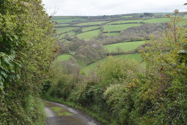
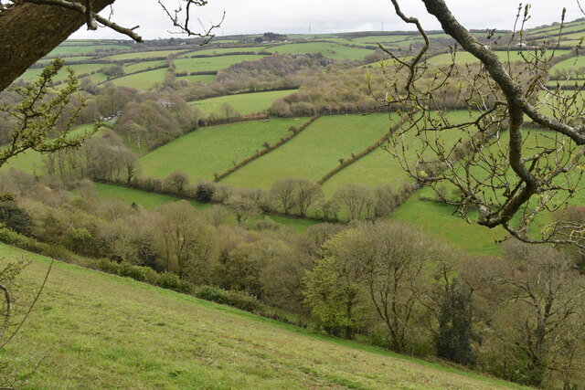
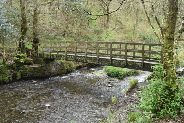
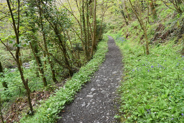
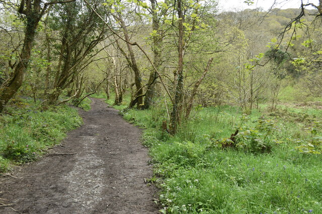
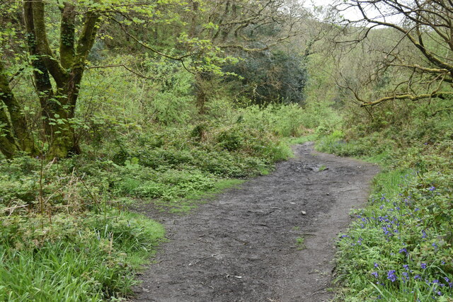
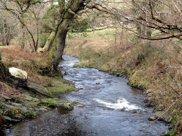
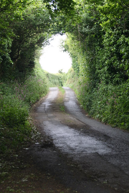
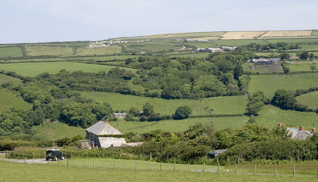
St Juliot Images
Images are sourced within 2km of 50.690475/-4.65027 or Grid Reference SX1291. Thanks to Geograph Open Source API. All images are credited.


St Juliot is located at Grid Ref: SX1291 (Lat: 50.690475, Lng: -4.65027)
Unitary Authority: Cornwall
Police Authority: Devon and Cornwall
What 3 Words
///succumbs.timing.puddles. Near Tintagel, Cornwall
Nearby Locations
Related Wikis

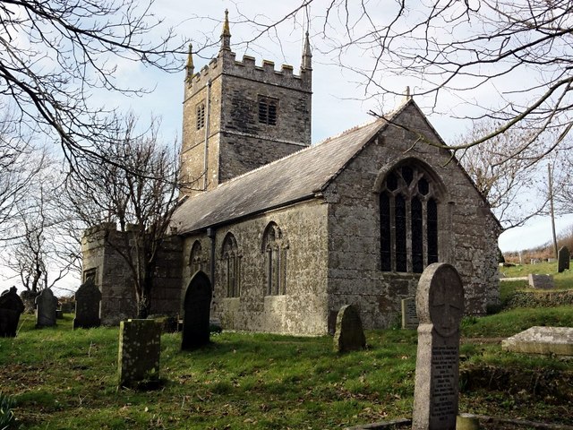
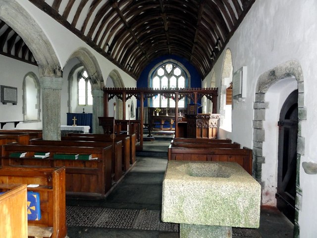
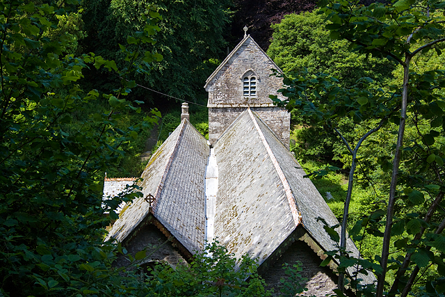
St Julitta's Church, St Juliot
St Julitta's Church, St Juliot is a Grade II* listed parish church in the Church of England Diocese of Truro in St Juliot, Cornwall. (St Julitta's Church...
Lesnewth
Lesnewth (Cornish: Lysnowyth) is a civil parish and village in Cornwall, England, United Kingdom. It is about six miles east of Tintagel Head and two miles...

St Michael and All Angels' Church, Lesnewth
St Michael and All Angels’ Church, Lesnewth is a Grade II* listed parish church in the Church of England in Lesnewth, Cornwall. == History == The church...

Tresparrett
Tresparrett is a hamlet in north Cornwall, England, United Kingdom at Grid ref SX 14 19. Tresparrett was noted in the Domesday Book (1086), under the...
Nearby Amenities
Located within 500m of 50.690475,-4.65027Have you been to St Juliot?
Leave your review of St Juliot below (or comments, questions and feedback).