Sidnish

Settlement in Inverness-shire

Scotland

Sidnish

Sculpture at the end of the road One of the sculptures at the end of the road. Literally at the very end of the road along Loch Euphort.
Sculpture at the end of the road Credit: Malcolm Neal

Sidnish is a small hamlet located in the county of Inverness-shire, Scotland. Situated on the western coast of the Ardnamurchan Peninsula, it offers breathtaking views of the surrounding landscape, including the picturesque Loch Sunart and the majestic mountains of the Scottish Highlands.

Despite its remote location, Sidnish is a popular destination for nature enthusiasts and those seeking tranquility and seclusion. The area is known for its diverse wildlife, making it a haven for birdwatchers and wildlife photographers. Red deer, otters, and golden eagles are just a few of the species that can be spotted in the vicinity.

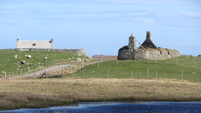
The village itself consists of a handful of houses, most of which are traditional stone cottages that add to the area's charm and character. One of the notable landmarks in Sidnish is the Sidnish Bay, a beautiful sandy beach that provides an ideal spot for leisurely walks and picnics.

For those interested in outdoor activities, Sidnish offers opportunities for hiking, fishing, and boating. The nearby Glenborrodale Castle, a 19th-century mansion, is also worth a visit, as it boasts stunning architecture and views of Loch Sunart.

While Sidnish may lack amenities such as shops and restaurants, the nearby village of Salen provides basic services and amenities. Additionally, the region is dotted with cozy bed and breakfasts, offering visitors a comfortable stay during their exploration of this idyllic Scottish haven.

In summary, Sidnish is a secluded and peaceful hamlet in Inverness-shire, Scotland, renowned for its natural beauty and wildlife. It is an ideal destination for those seeking a tranquil escape and a chance to immerse themselves in the stunning Scottish countryside.

If you have any feedback on the listing, please let us know in the comments section below.
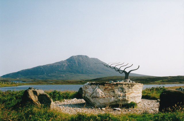
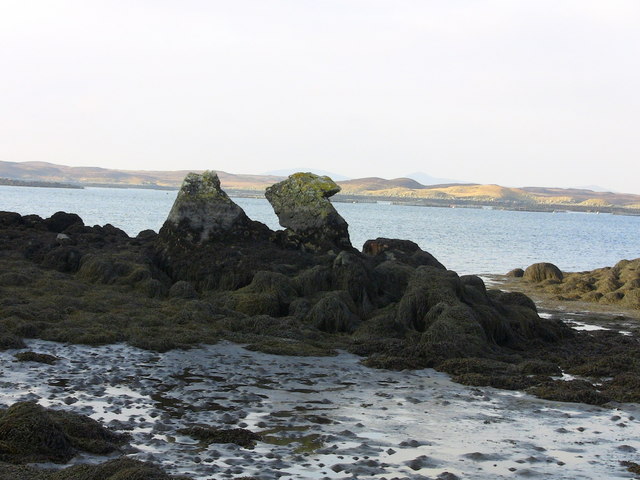
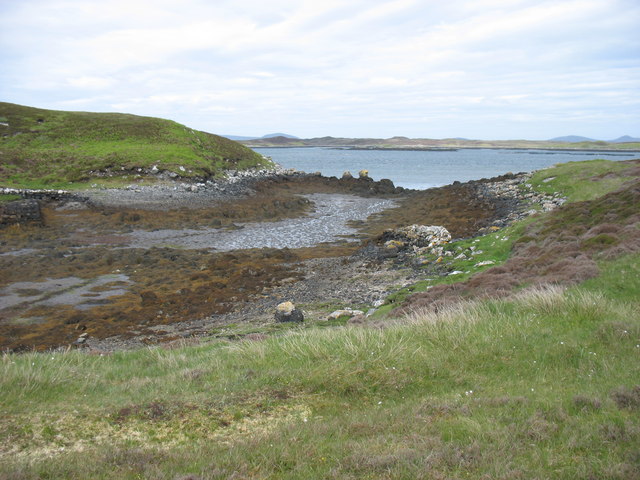
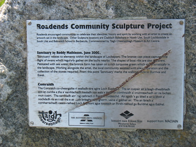
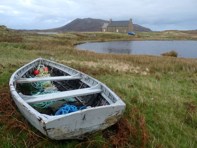
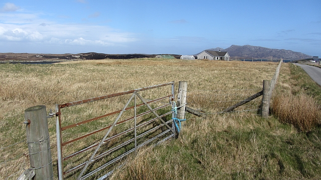
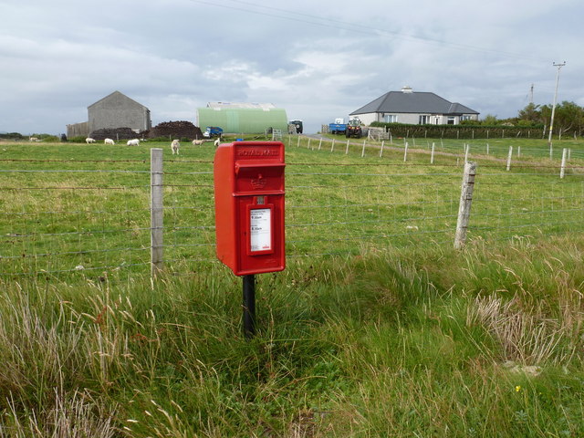
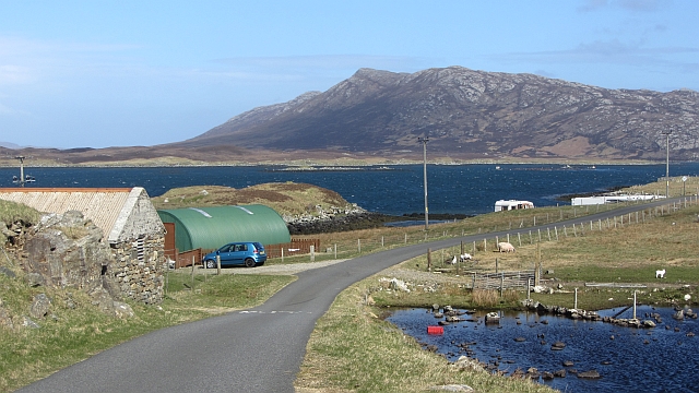
Sidnish Images

Images are sourced within 2km of 57.550493/-7.224075 or Grid Reference NF8763. Thanks to Geograph Open Source API. All images are credited.

Sculpture at the end of the road One of the sculptures at the end of the road. Literally at the very end of the road along Loch Euphort.
Sculpture at the end of the road
One of the sculptures at the end of the road. Literally at the very end of the road along Loch Euphort.
Camel Rock
Camel Rock
The outflow to Loch Euphort at Clachan Bhiurabhal Clearly taken at low tide.
The outflow to Loch Euphort at Clachan Bhiurabhal
Clearly taken at low tide.
The Roadends Community Sculpture Project This plaque at Locheport explains the sculpture project.
The Roadends Community Sculpture Project
This plaque at Locheport explains the sculpture project.
Loch Nighe and Obisary A lonely croft at the end of the road.
Loch Nighe and Obisary
A lonely croft at the end of the road.
Field, Loch Euphort It looks rough, but these fields show up as a green area against the moors when seen from the hills.
Field, Loch Euphort
It looks rough, but these fields show up as a green area against the moors when seen from the hills.
Tidal inlet at Clachan Burrabhal At one time this must have been used by small vessels as there are remains of a rough stone pier to the left of centre.
Tidal inlet at Clachan Burrabhal
At one time this must have been used by small vessels as there are remains of a rough stone pier to the left of centre.
Sidinish: postbox № HS6 20 and the old post office This postbox stands outside the old post office, which was in the building to the right. See <a href="https://www.geograph.org.uk/photo/854445">NF8763 : Sidinish Post Office</a> for a picture of the post office when it was operational.

The post office had opened in the early part of 1930 but fell victim to the Network Change programme - in which 2,500 branches nationwide were axed - and its last day of business was 21 July 2008.
Sidinish: postbox № HS6 20 and the old post office
This postbox stands outside the old post office, which was in the building to the right. See NF8763 : Sidinish Post Office for a picture of the post office when it was operational. The post office had opened in the early part of 1930 but fell victim to the Network Change programme - in which 2,500 branches nationwide were axed - and its last day of business was 21 July 2008.
Loch Euphort: Loch full of islands, island full of lochs
Obisary Pasture on the southern shore of Loch Euphort.
Obisary
Pasture on the southern shore of Loch Euphort.
Saighdinis A settlement strung out along the southern shore of Loch Euphort.
Saighdinis
A settlement strung out along the southern shore of Loch Euphort.
Saighdinis A ruin beside the road along Loch Euphort.
Saighdinis
A ruin beside the road along Loch Euphort.
Sidinish: art studio by Loch Nighe A small outbuilding right at the end of the public road. It was closed just now, at 5:15. The summit of Eaval is in the background.
Sidinish: art studio by Loch Nighe
A small outbuilding right at the end of the public road. It was closed just now, at 5:15. The summit of Eaval is in the background.
Path, Obisary The starting point for a lot of ascents of Eaval.
Path, Obisary
The starting point for a lot of ascents of Eaval.
Loch Euphort At Obisary with a view towards the interior of North Uist.
Loch Euphort
At Obisary with a view towards the interior of North Uist.
Fence, Obisary View towards Eabhal.
Fence, Obisary
View towards Eabhal.
Inlet, Clachan Bhiurabhal Off Loch Euphort.
Inlet, Clachan Bhiurabhal
Off Loch Euphort.
Obisary View from Eabhal.
Obisary
View from Eabhal.
Show me another place!

Sidnish is located at Grid Ref: NF8763 (Lat: 57.550493, Lng: -7.224075)

Unitary Authority: Na h-Eileanan an Iar

Police Authority: Highlands and Islands

Also known as: Saighdinis

What 3 Words

///amaze.verb.detergent. Near Lochmaddy, Na h-Eileanan Siar

Related Wikis

Loch Sgadabhagh

Loch Sgadabhagh or Loch Scadavay is a body of water on the island of North Uist, Scotland. The name may be of Old Norse derivation meaning "lake of tax...

Fraoch-Eilean

Fraoch-eilean is a small island with an uncertain population north of Benbecula in the Outer Hebrides of Scotland. It is about 55 hectares (140 acres...

Carinish

Carinish (Scottish Gaelic: Càirinis), is a hamlet on North Uist, in the Outer Hebrides, Scotland. It is in the south of the island, about two miles (three...

Baile Glas

Baile Glas or Ballaglasa (Scottish Gaelic: Am Baile Glas) is a settlement on Grimsay in the Outer Hebrides, Scotland. Ballaglasa is within the parish of...

Nearby Amenities

Located within 500m of 57.550493,-7.224075
Bus Stop
Sidinish
Naptan AtcoCode: 6010731811
Naptan Bearing: W
Naptan CommonName: Sidinish
Naptan Indicator: Sidinish
Naptan Landmark: Sidinish
Naptan NaptanCode: 94723537
Naptan Street: Sidinish
Naptan Verified: no
Source: naptan_import
Lat/Long: 57.5499535/-7.2322619
Passing Place
Lat/Long: 57.5502375/-7.2248865
Passing Place
Lat/Long: 57.5500881/-7.2279046
Passing Place
Lat/Long: 57.5508214/-7.2168164
Passing Place
Lat/Long: 57.5507827/-7.2180852
Passing Place
Lat/Long: 57.5504459/-7.2185605
Suighdinis
Name En: Sidinish
Name Gd: Suighdinis
Place: hamlet
Lat/Long: 57.5504757/-7.2243679
Power: pole
Lat/Long: 57.5516477/-7.2159769
Power: pole
Lat/Long: 57.5515412/-7.2169894
Power: pole
Lat/Long: 57.5514297/-7.2179805
Power: pole
Lat/Long: 57.5512721/-7.219504
Power: pole
Lat/Long: 57.5511627/-7.2203864
Power: pole
Lat/Long: 57.551062/-7.2212943
Power: pole
Lat/Long: 57.5509951/-7.2219501
Power: pole
Lat/Long: 57.5509123/-7.2227669
Power: pole
Lat/Long: 57.550831/-7.2234455
Power: pole
Lat/Long: 57.5507706/-7.2240087
Power: pole
Lat/Long: 57.5507281/-7.22458
Power: pole
Lat/Long: 57.5505432/-7.2251849
Power: pole
Lat/Long: 57.5503144/-7.2264254
Power: pole
Lat/Long: 57.5500711/-7.2276807
Power: pole
Lat/Long: 57.5498581/-7.2288072
Power: pole
Lat/Long: 57.5497293/-7.2316182
Power: pole
Lat/Long: 57.55074/-7.2191338
Power: pole
Lat/Long: 57.5507673/-7.2180086
Barrier: cattle_grid
Lat/Long: 57.5507105/-7.2255389
Passing Place
Lat/Long: 57.5498267/-7.2315231
Post Box
Collection Times: Mo-Fr 09:30; Sa 08:30
Operator: Royal Mail
Post Box Mounting: pole
Post Box Type: lamp
Ref: HS6 20
Royal Cypher: scottish_crown
Lat/Long: 57.550224/-7.2259442
The data included in this document is from www.openstreetmap.org. The data is made available under ODbL.

Have you been to Sidnish?

Leave your review of Sidnish below (or comments, questions and feedback).