Shielparks
Settlement in Banffshire
Scotland
Shielparks
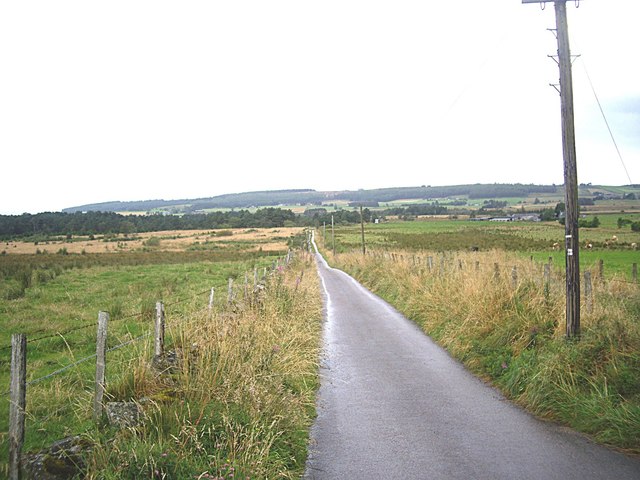
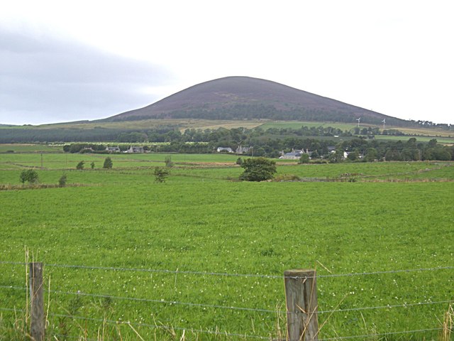
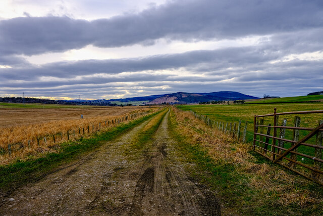
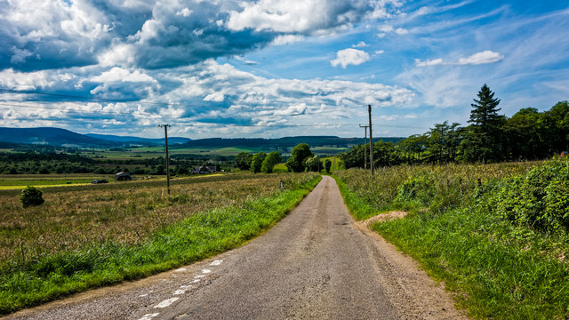
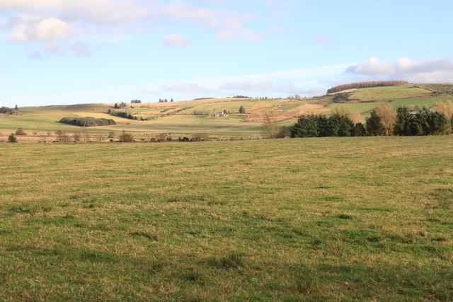
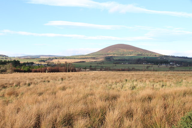
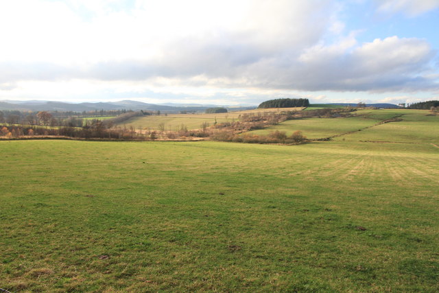
Shieldpark is a small village located in the county of Banffshire, Scotland. Situated in the northeast part of the country, it lies approximately 5 miles west of the town of Turriff. Shieldpark is a rural community surrounded by picturesque landscapes, rolling hills, and expansive farmland.
The village itself is composed of a cluster of houses, some of which date back several centuries, showcasing traditional Scottish architecture. The area is known for its peaceful ambiance and close-knit community. The local economy primarily relies on agriculture, with farming and livestock rearing being the main occupations of the residents.
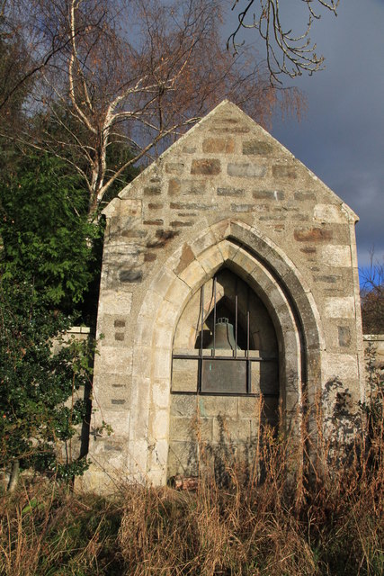
Despite its small size, Shieldpark benefits from its proximity to nearby towns and villages, offering easy access to essential amenities and services. The village has a primary school, which serves the educational needs of the children in the area. Additionally, there are several churches and community organizations that provide social and cultural activities for the residents.
Shieldpark's location in Banffshire provides ample opportunities for outdoor enthusiasts. The surrounding countryside offers stunning views and is ideal for activities such as hiking, cycling, and horse riding. The nearby River Deveron also attracts fishing enthusiasts from far and wide.
In summary, Shieldpark is a charming and tranquil village in Banffshire, Scotland. Its rural setting, agricultural heritage, and beautiful landscapes make it an appealing destination for those seeking a peaceful and close-knit community.
If you have any feedback on the listing, please let us know in the comments section below.
Shielparks Images
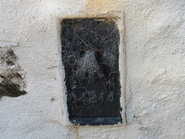
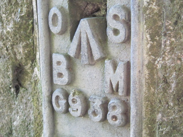
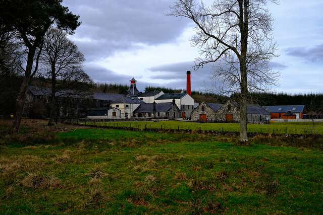
Images are sourced within 2km of 57.546327/-2.7592082 or Grid Reference NJ5450. Thanks to Geograph Open Source API. All images are credited.


Shielparks is located at Grid Ref: NJ5450 (Lat: 57.546327, Lng: -2.7592082)
Unitary Authority: Moray
Police Authority: North East
What 3 Words
///homecare.leap.avocado. Near Aberchirder, Aberdeenshire
Nearby Locations
Related Wikis
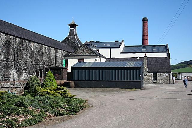
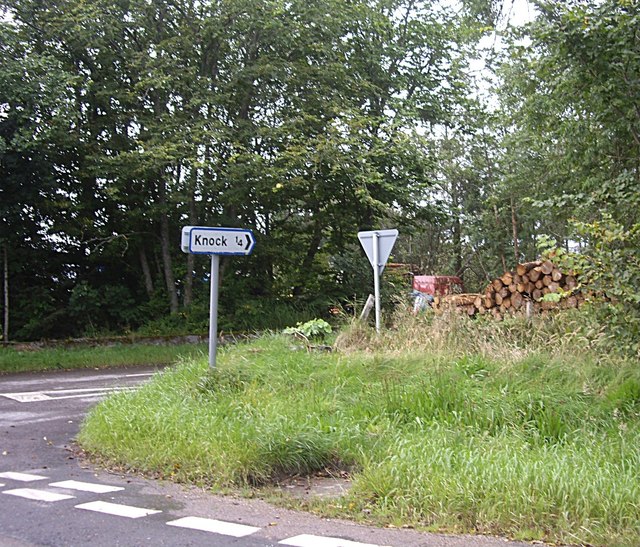
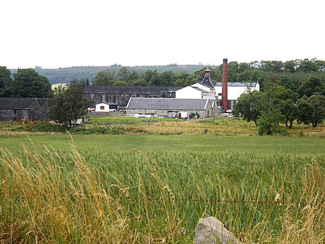
Knockdhu distillery
Knockdhu distillery is a whisky distillery situated in Knock, Banffshire and owned by Inver House Distillers Limited. == History == The distillery was...

Knock railway station (Scotland)
Knock railway station was an intermediate stop situated on the Great North of Scotland Railway (GNoSR) line from Grange and Cairnie Junction to Tillynaught...

Milltown of Rothiemay
Milltown of Rothiemay (Scottish Gaelic: Ràth a' Mhuigh) is a small inland village, built mostly of granite, in the north-east of Scotland and is within...

Millegin railway station
Millegin railway station, Millagan railway station or later Millegin Siding was briefly an intermediate stop situated on what became the Great North of...
Nearby Amenities
Located within 500m of 57.546327,-2.7592082Have you been to Shielparks?
Leave your review of Shielparks below (or comments, questions and feedback).