Shepherds' Gate
Settlement in Norfolk King's Lynn and West Norfolk
England
Shepherds' Gate
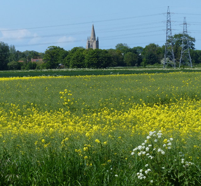
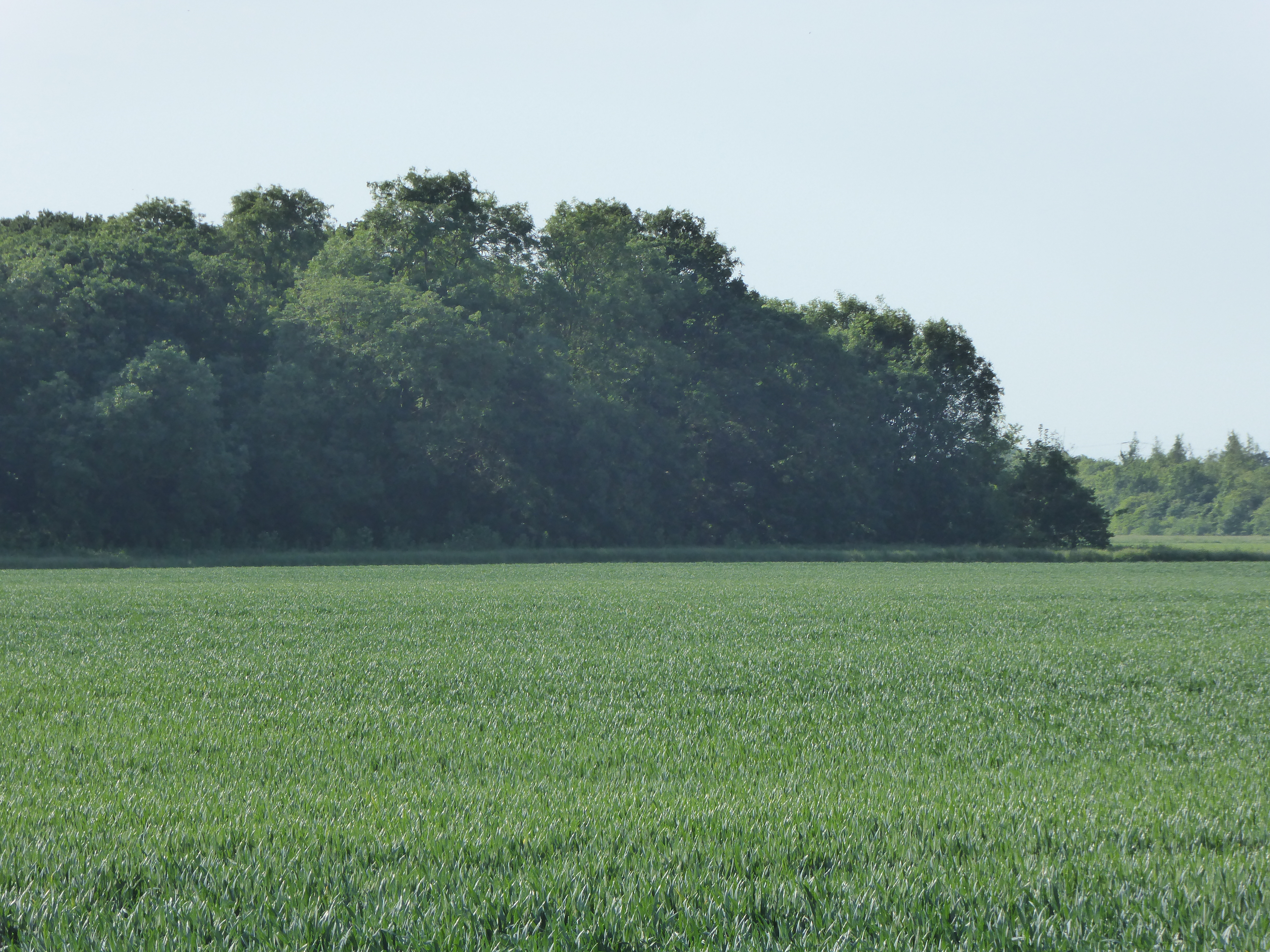
Shepherds' Gate is a small village located in the county of Norfolk, England. Situated about 10 miles northeast of the city of Norwich, it lies in the heart of the Norfolk Broads National Park, known for its picturesque landscapes and waterways. The village is nestled amidst rolling countryside, offering a tranquil and idyllic setting for residents and visitors alike.
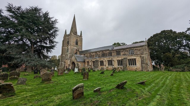
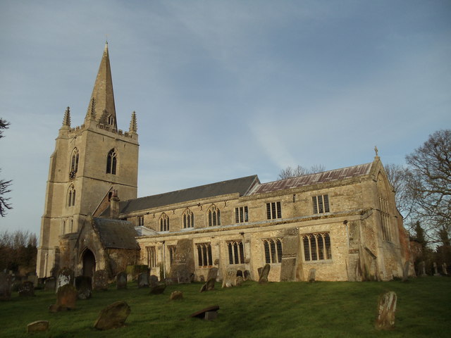
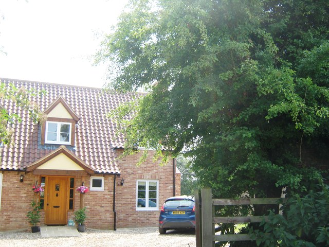
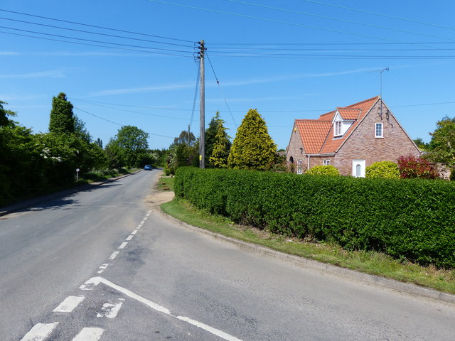
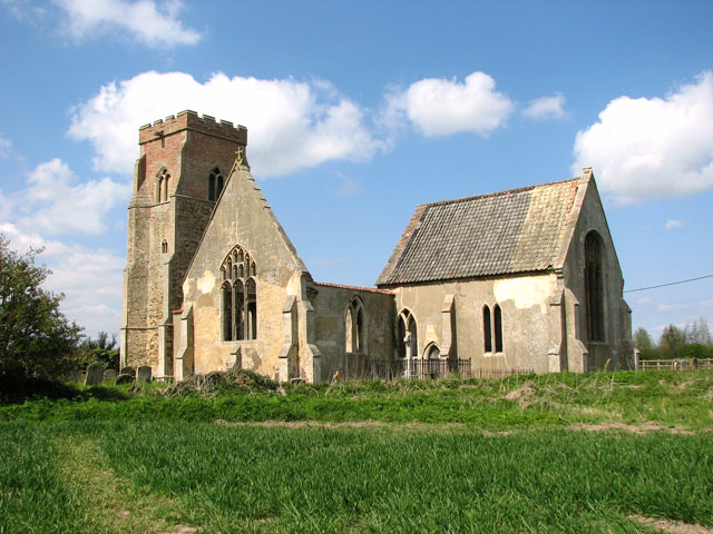
The origins of Shepherds' Gate can be traced back to medieval times, and it has managed to retain its traditional charm throughout the centuries. Characterized by quaint thatched-roof cottages and historic buildings, the village exudes a quintessentially English atmosphere. The local church, St. Mary's, stands as a testament to the village's rich history, with parts of the structure dating back to the 12th century.
Despite its small size, Shepherds' Gate boasts a close-knit community that takes great pride in its heritage. The village regularly organizes community events and festivities, such as the annual summer fair, which attracts visitors from neighboring areas. The local pub, The Shepherds' Arms, serves as a hub for social gatherings, offering a warm and welcoming atmosphere for locals and visitors to enjoy.
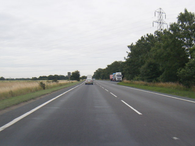
The surrounding countryside offers ample opportunities for outdoor activities, including walking, cycling, and boating. The nearby Broads provide a haven for nature lovers, with a diverse range of flora and fauna to be discovered. The village is also within easy reach of the Norfolk coast, allowing residents and visitors to enjoy sandy beaches and coastal walks.
Overall, Shepherds' Gate is a charming and picturesque village in Norfolk, offering a peaceful retreat for those seeking a taste of rural England.
If you have any feedback on the listing, please let us know in the comments section below.
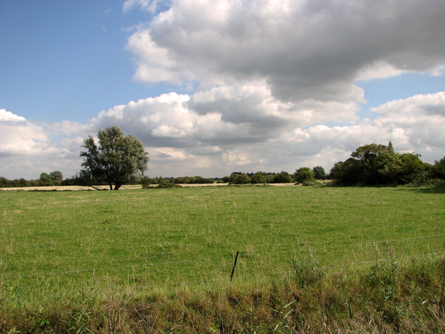
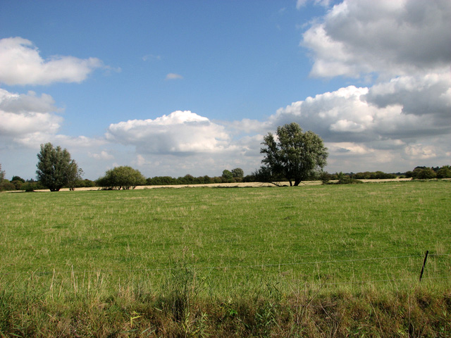
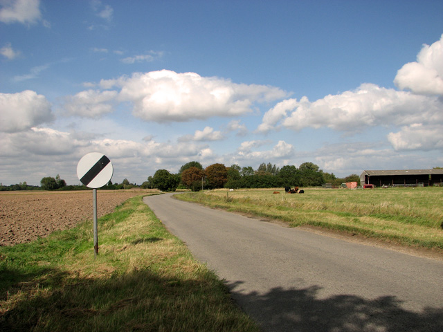
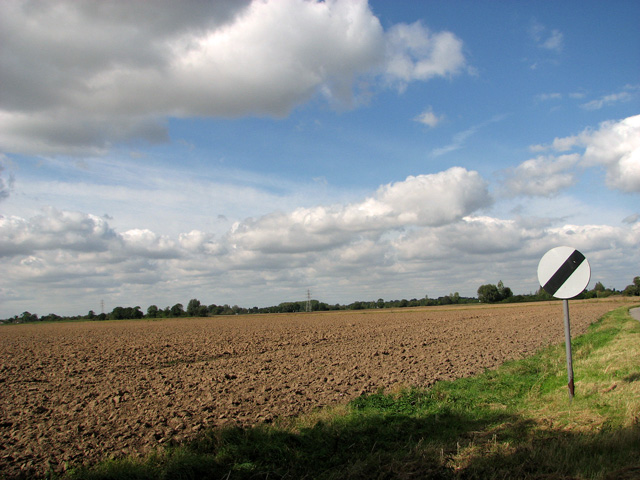
Shepherds' Gate Images
Images are sourced within 2km of 52.738214/0.3005561 or Grid Reference TF5518. Thanks to Geograph Open Source API. All images are credited.


Shepherds' Gate is located at Grid Ref: TF5518 (Lat: 52.738214, Lng: 0.3005561)
Administrative County: Norfolk
District: King's Lynn and West Norfolk
Police Authority: Norfolk
What 3 Words
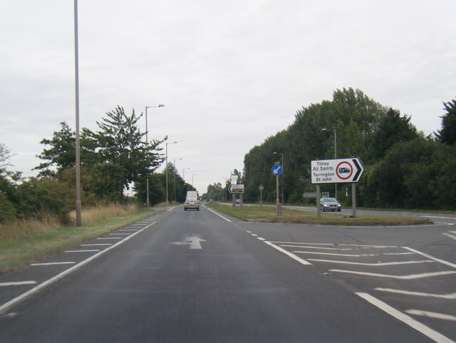
///unhappily.horn.majority. Near Terrington St Clement, Norfolk
Nearby Locations
Related Wikis

Terrington railway station
Terrington railway station is a former station in Terrington St Clement, Norfolk. It opened in 1866 and was closed in 1959. It was on the Midland and Great...

Tilney All Saints
Tilney All Saints is a civil parish in the English county of Norfolk. It covers an area of 11.56 km2 (4.46 sq mi) and had a population of 563 in 230 households...

Terrington St Clement
Terrington St Clement is a village and civil parish in King's Lynn and West Norfolk borough and district in Norfolk, England. It is in the drained marshlands...
Clenchwarton railway station
Clenchwarton Railway Station is a former train station in Clenchwarton, Norfolk. It was part of the Midland and Great Northern Joint Railway line from...
St Mary's Church, Islington, Norfolk
St Mary's Church is a ruined redundant Anglican church in the civil parish of Tilney St Lawrence, Norfolk, England. It is recorded in the National Heritage...
St Clement's High School
St Clement's High School is a coeducational secondary school with academy status, located in the village of Terrington St Clement, in the English county...
Islington Heronry
Islington Heronry is a 1.3-hectare (3.2-acre) biological Site of Special Scientific Interest south-west of King's Lynn Norfolk.This stand of mature oaks...
Bellmount
Bellmount is a village in Norfolk, England.
Nearby Amenities
Located within 500m of 52.738214,0.3005561Have you been to Shepherds' Gate?
Leave your review of Shepherds' Gate below (or comments, questions and feedback).