Scottlethorpe

Settlement in Lincolnshire South Kesteven

England

Scottlethorpe

Grimsthorpe Castle Tudor south front of Grimsthorpe Castle
Grimsthorpe Castle Credit: Richard Croft

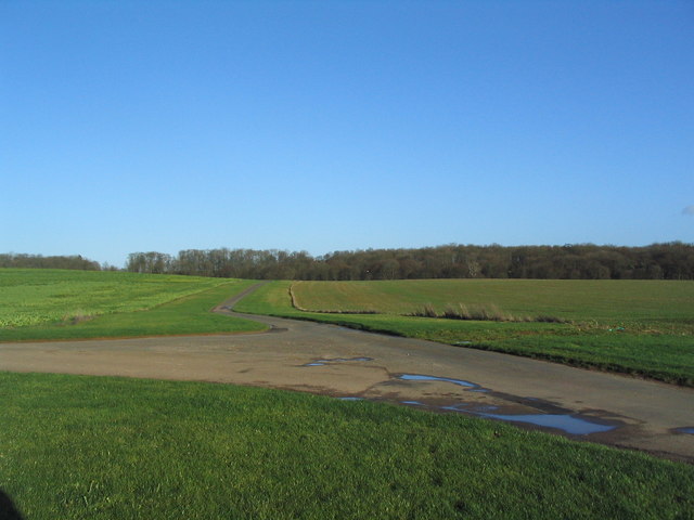
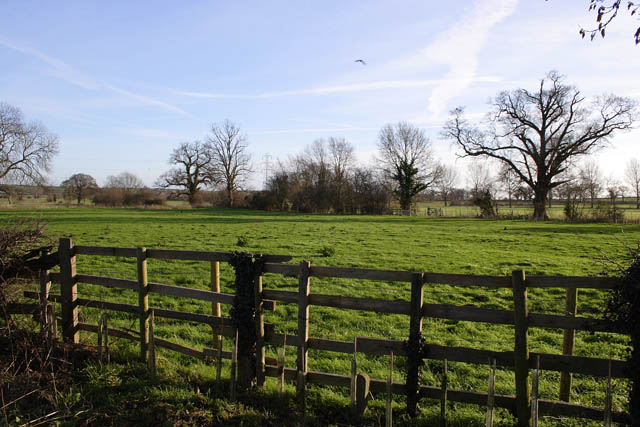
Scottlethorpe is a small village located in the county of Lincolnshire, England. Situated approximately 6 miles south-east of the town of Gainsborough, it lies within the West Lindsey district. The village is nestled in a rural area, surrounded by picturesque countryside and farmland.

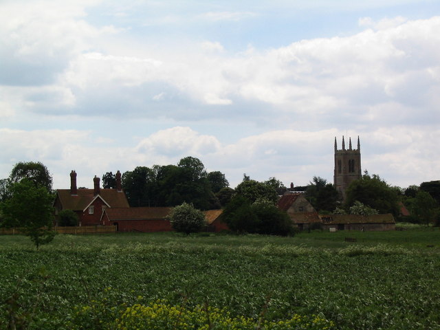
With a population of around 200 residents, Scottlethorpe is known for its peaceful and tight-knit community. The village features a mix of traditional stone-built cottages and more modern housing, blending the old with the new. The charming St. Lawrence's Church, dating back to the 12th century, stands as a prominent landmark within the village.

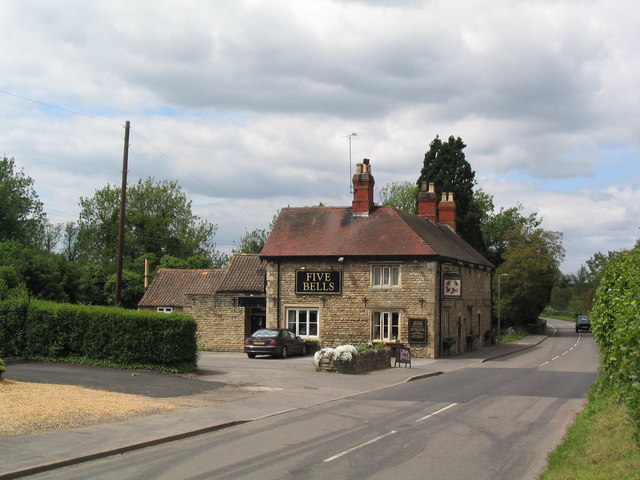
Despite its small size, Scottlethorpe offers a range of amenities to its residents. The village boasts a local pub, The Scottlethorpe Arms, providing a cozy atmosphere and traditional British cuisine. Additionally, a small convenience store caters to the daily needs of the villagers.

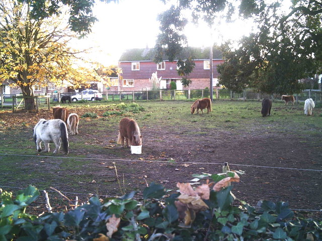
The surrounding countryside offers ample opportunities for outdoor activities, including walking, cycling, and horse riding. The nearby River Trent provides a scenic spot for fishing enthusiasts. For those seeking further amenities and entertainment, the larger town of Gainsborough is within easy reach, offering a wider range of shops, restaurants, and leisure facilities.

Scottlethorpe's tranquil setting, friendly community, and easy access to both rural and urban amenities make it an appealing place to reside for those seeking a peaceful village lifestyle in the heart of Lincolnshire.

If you have any feedback on the listing, please let us know in the comments section below.

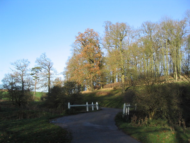
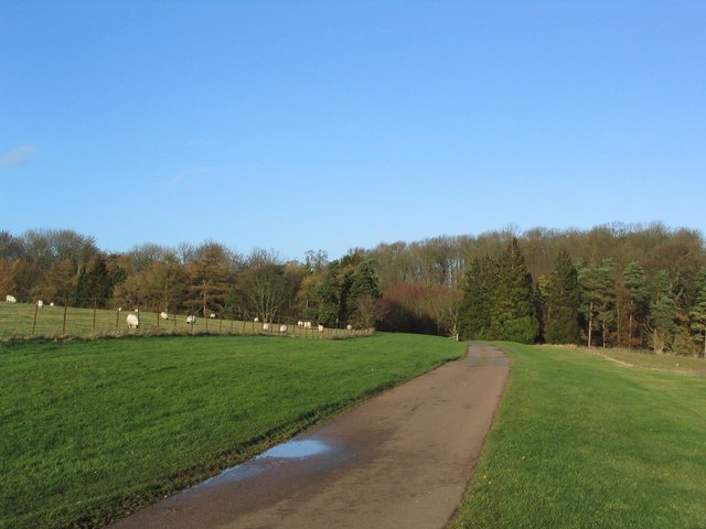
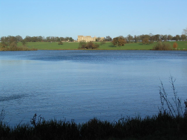
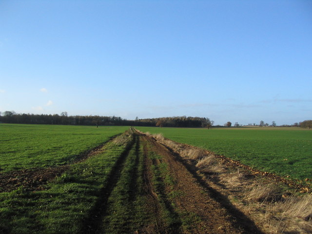
Scottlethorpe Images

Images are sourced within 2km of 52.775735/-0.44318185 or Grid Reference TF0520. Thanks to Geograph Open Source API. All images are credited.

Grimsthorpe Castle Tudor south front of Grimsthorpe Castle
Grimsthorpe Castle
Tudor south front of Grimsthorpe Castle
Grimsthorpe Castle Chapel Wonderful chapel at Grimsthorpe Castle, possibly by John Vanbrugh though sometimes attributed to Nicholas Hawksmoor after Vanbrugh's death in 1726
Grimsthorpe Castle Chapel
Wonderful chapel at Grimsthorpe Castle, possibly by John Vanbrugh though sometimes attributed to Nicholas Hawksmoor after Vanbrugh's death in 1726
Grimsthorpe Chapel Ceiling Marvellous ceiling of the Chapel at Grimsthorpe Castle <a title="https://www.geograph.org.uk/photo/7679937" href="https://www.geograph.org.uk/photo/7679937">Link</a> by Vanbrugh or Hawksmoor ?
Grimsthorpe Chapel Ceiling
Marvellous ceiling of the Chapel at Grimsthorpe Castle Link by Vanbrugh or Hawksmoor ?
St. Michael, Edenham
Edenham from the north
The Five Bells at Edenham
The sewage works at Edenham Which discharges into my dear friend, the East Glen River.
The sewage works at Edenham
Which discharges into my dear friend, the East Glen River.
Estate cottages, Scottlethorpe road
Tumble Row Farm, Scottlethorpe
View north from near Scottlethorpe Grange The road to Scottlethorpe runs across a valley in the middle distance and (invisibly) through the woods on the horizon
View north from near Scottlethorpe Grange
The road to Scottlethorpe runs across a valley in the middle distance and (invisibly) through the woods on the horizon
Shetland ponies in a paddock Shetland ponies.
Shetland ponies in a paddock
Shetland ponies.
Road junction, Grimsthorpe Park The main road through the Park. Running from Chestnut Avenue to the south (bottom right), towards the castle at the north end of the Park (top).
Road junction, Grimsthorpe Park
The main road through the Park. Running from Chestnut Avenue to the south (bottom right), towards the castle at the north end of the Park (top).
'Pots and Pans', Grimsthorpe Park Bumpy ground marking former quarry. Extraction of good quality limestone remains an important activity in the area.
'Pots and Pans', Grimsthorpe Park
Bumpy ground marking former quarry. Extraction of good quality limestone remains an important activity in the area.
Bridge leading to 'The Vaudey', Grimsthorpe Park The stream leaving from the lake south of Grimsthorpe Castle runs through a valley named 'Vallis Dei' (Valley of God, now 'Vaudey') by Cistercian monks who founded an abbey here in the 12th century.
Bridge leading to 'The Vaudey', Grimsthorpe Park
The stream leaving from the lake south of Grimsthorpe Castle runs through a valley named 'Vallis Dei' (Valley of God, now 'Vaudey') by Cistercian monks who founded an abbey here in the 12th century.
Grimsthorpe Park
Grimsthorpe Park
Grimsthorpe Lake The southern end of the lake, with Grimsthorpe Castle in the distance
Grimsthorpe Lake
The southern end of the lake, with Grimsthorpe Castle in the distance
Track towards Bishopshall Wood, Grimsthorpe Park The track runs west from the lake, towards the exit of the Park at Swinstead
Track towards Bishopshall Wood, Grimsthorpe Park
The track runs west from the lake, towards the exit of the Park at Swinstead
Farmland at Grimsthorpe, Lincolnshire
Show me another place!

Scottlethorpe is located at Grid Ref: TF0520 (Lat: 52.775735, Lng: -0.44318185)

Division: Parts of Kesteven

Administrative County: Lincolnshire

District: South Kesteven

Police Authority: Lincolnshire

What 3 Words

///sunblock.pioneered.policy. Near Bourne, Lincolnshire

Nearby Locations

Scottlethorpe

Related Wikis

South Kesteven Rural District

South Kesteven was a rural district in Lincolnshire, Parts of Kesteven in England from 1931 to 1974. It was formed under a County Review Order in 1931...

Scottlethorpe

Scottlethorpe is a village in the South Kesteven district of Lincolnshire, England. It is situated approximately 3 miles (4.8 km) north-west from Bourne...

Edenham

Edenham ( EDD-ən-əm) is a village and civil parish in the South Kesteven district of Lincolnshire, England. It is approximately 3 miles (5 km) north-west...

Edenham railway station

Edenham railway station was a station in Edenham, Lincolnshire. It was the terminus of a four-mile branch line from the Great Northern Railway at Little...

Vaudey Abbey

Vaudey Abbey , also known as Vandy Abbey or Vandey Abbey, was an English Cistercian abbey. It was founded in 1147 by William, Count of Aumale, Earl of...
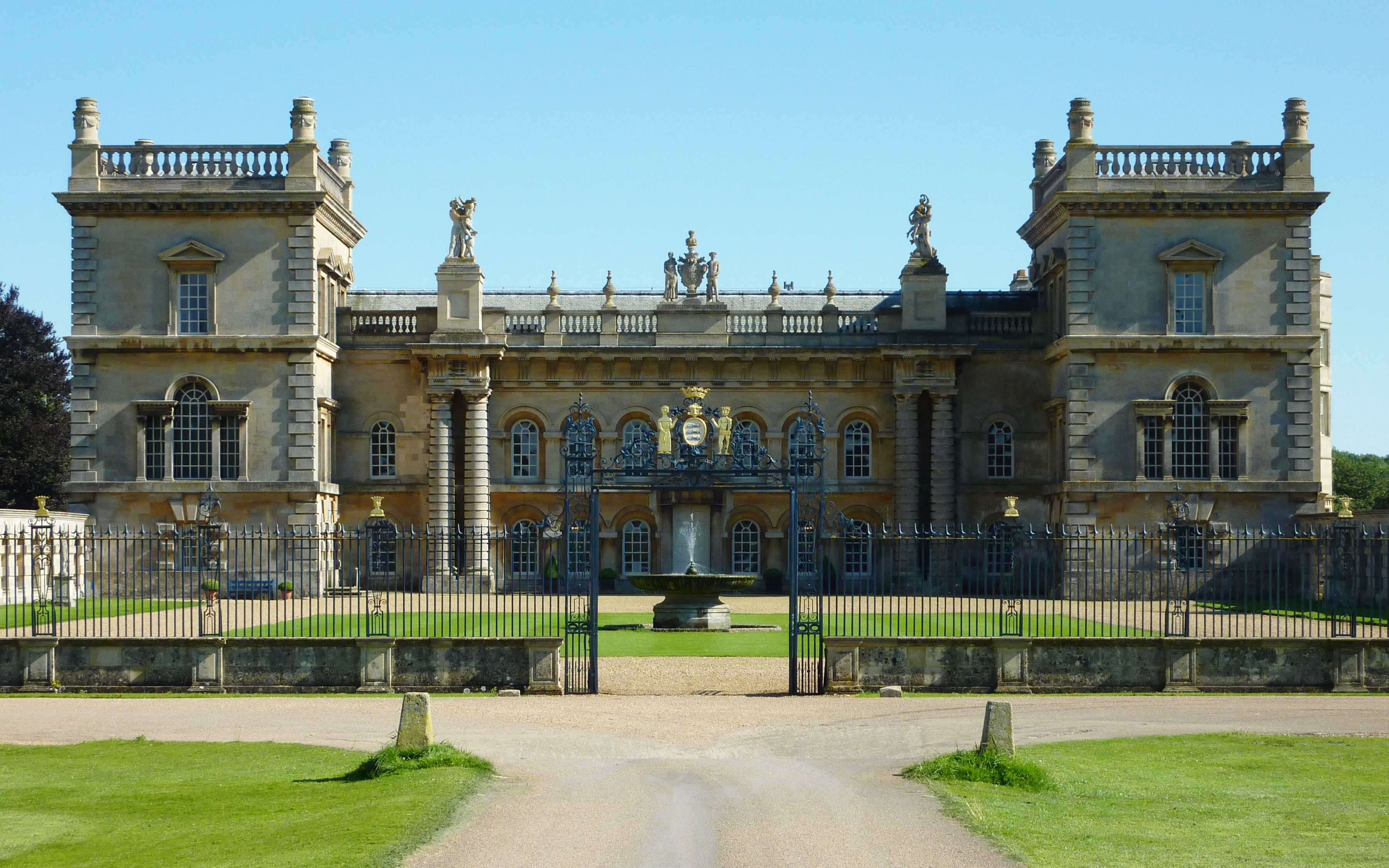
Grimsthorpe Castle

Grimsthorpe Castle is a country house in Lincolnshire, England 4 miles (6.4 km) north-west of Bourne on the A151. It lies within a 3,000 acre (12 km2)...

Grimsthorpe

Grimsthorpe is a hamlet in the South Kesteven district of Lincolnshire, England. It is situated on the A151 road, and 3 miles (5 km) north-west from Bourne...

Bourne Rural District

Bourne was a rural district in Lincolnshire, Parts of Kesteven from 1894 to 1931. It was created by the Local Government Act 1894 based on the Bourne rural...

Nearby Amenities

Located within 500m of 52.775735,-0.44318185
Scottlethorpe
Is In: Lincolnshire, England, UK
Place: hamlet
Source: NPE
Lat/Long: 52.7759376/-0.4410192
Randall's Farm
Place: farm
Source: Bing
Lat/Long: 52.7767088/-0.4438476
Tumble Row Farm
Place: farm
Source: Bing
Lat/Long: 52.7758677/-0.4371541
Manor Farm
Historic Place: farm
Source: Bing
Lat/Long: 52.7762544/-0.4399012
Power: pole
Lat/Long: 52.7763217/-0.4439576
Power: pole
Lat/Long: 52.7754233/-0.4359377
Power: pole
Lat/Long: 52.7754334/-0.4376066
Power: pole
Lat/Long: 52.7755628/-0.4384127
Power: pole
Lat/Long: 52.7757573/-0.4394706
Power: pole
Lat/Long: 52.775989/-0.4406519
Power: pole
Lat/Long: 52.7760442/-0.4413632
Power: pole
Lat/Long: 52.7761665/-0.4427007
Power: pole
Lat/Long: 52.7762081/-0.4433883
The data included in this document is from www.openstreetmap.org. The data is made available under ODbL.

Have you been to Scottlethorpe?

Leave your review of Scottlethorpe below (or comments, questions and feedback).