Sandham's Green
Settlement in Lancashire
England
Sandham's Green
The requested URL returned error: 429 Too Many Requests
If you have any feedback on the listing, please let us know in the comments section below.
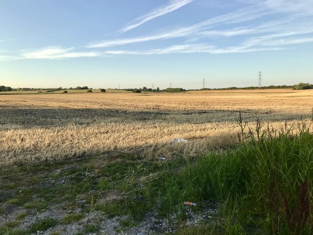
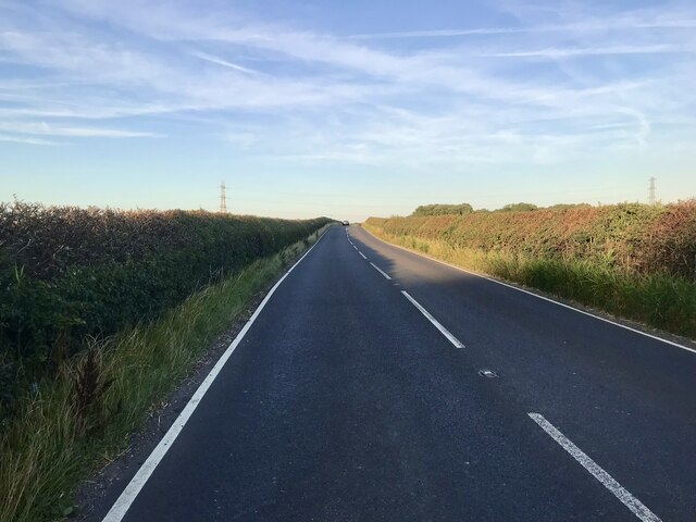
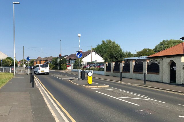
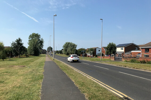
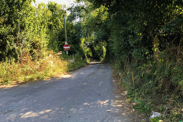
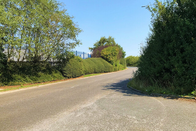
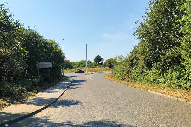
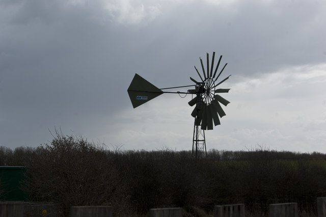
Sandham's Green Images
Images are sourced within 2km of 53.796125/-2.992306 or Grid Reference SD3433. Thanks to Geograph Open Source API. All images are credited.


Sandham's Green is located at Grid Ref: SD3433 (Lat: 53.796125, Lng: -2.992306)
Unitary Authority: Blackpool
Police Authority: Lancashire
What 3 Words
///oath.thin.with. Near Great Marton, Lancashire
Nearby Locations
Related Wikis

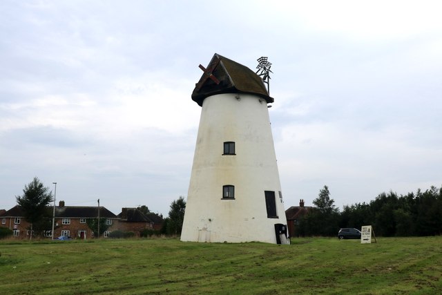
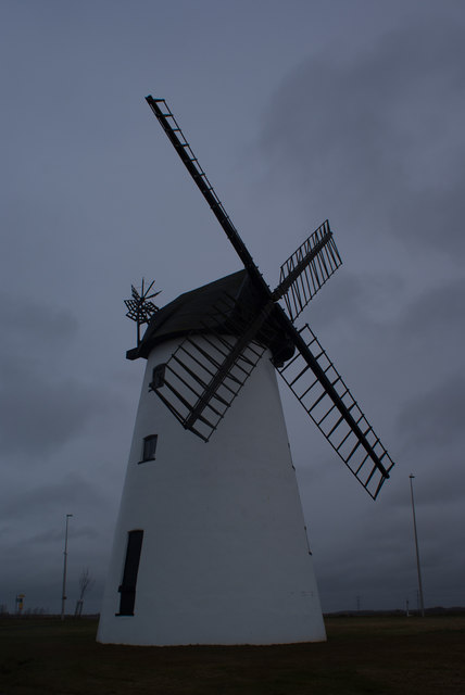
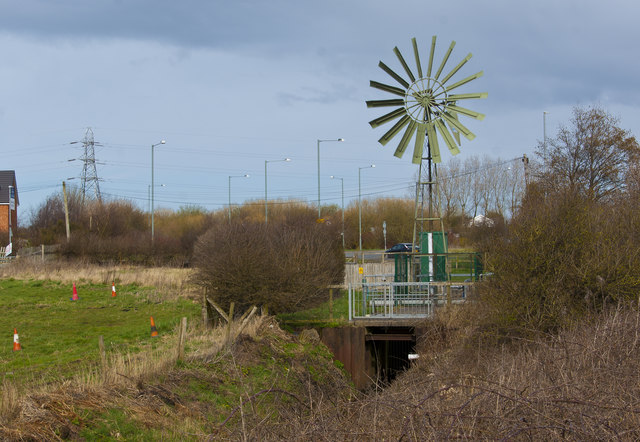
Little Marton Mill
Little Marton Mill is a 19th-century English tower windmill in Marton, Blackpool, Lancashire, England. It was built in 1838 by John Hays for grinding corn...

The Harbour (hospital)
The Harbour is a mental health hospital in Blackpool, Lancashire, England. It is managed by Lancashire Care NHS Foundation Trust. The hospital provides...
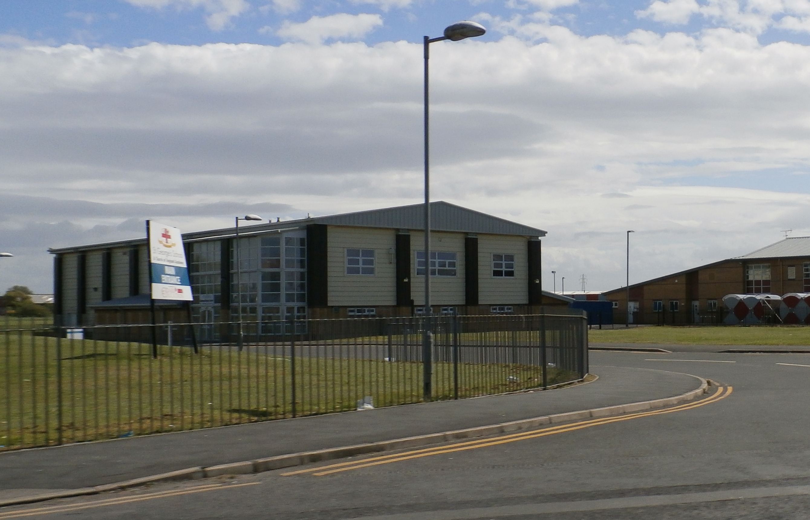
St George's School, Blackpool
St. George's School is a Church of England secondary school with academy status in Marton, Blackpool, Lancashire, England with an intake of both boys and...
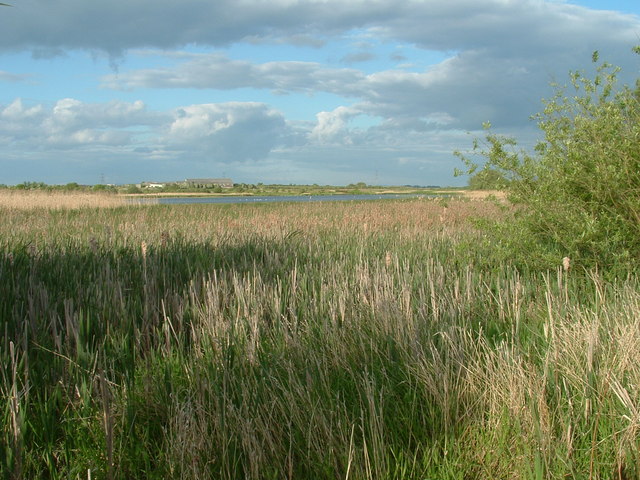
Marton Mere Local Nature Reserve
Marton Mere is a mere (lake) and Local Nature Reserve in Blackpool, Lancashire, England. It is located near to the Blackpool districts of Marton and Mereside...
Nearby Amenities
Located within 500m of 53.796125,-2.992306Have you been to Sandham's Green?
Leave your review of Sandham's Green below (or comments, questions and feedback).