Sandbeck
Settlement in Yorkshire Richmondshire
England
Sandbeck
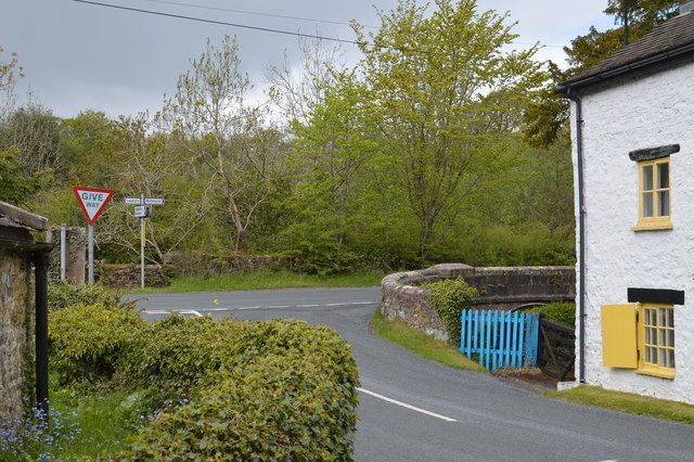
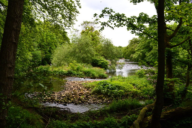
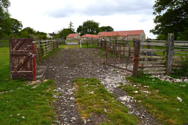
Sandbeck is a small village located in the county of Yorkshire, England. Situated in the district of Selby, it lies approximately 5 miles east of the town of Selby and 17 miles south of the city of York. The village is nestled in a rural setting, surrounded by picturesque countryside and farmland.
The name Sandbeck is derived from the Old Norse words "sand" meaning sand or sandy, and "bekkr" meaning stream or beck. This is fitting, as the village is known for its sandy soil and is crossed by a small stream.
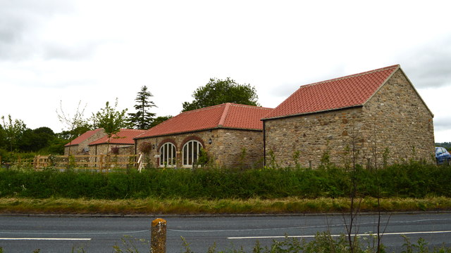
The village consists of a mix of traditional stone-built houses, some of which date back to the 18th and 19th centuries. There is also a small number of newer properties, blending in with the village's historic character. The community in Sandbeck is tight-knit, with a population of around 200 residents.
Sandbeck does not have its own amenities such as shops or schools, but residents can find these facilities in the nearby town of Selby. The village offers a peaceful and tranquil environment, perfect for those seeking a countryside retreat.
Several walking and cycling routes pass through the village, allowing visitors and locals alike to explore the stunning surrounding countryside. Sandbeck is also within easy reach of other attractions, including Selby Abbey and the historical city of York.
In summary, Sandbeck is a charming and rural village in Yorkshire, offering a quiet and idyllic setting for its residents and visitors.
If you have any feedback on the listing, please let us know in the comments section below.
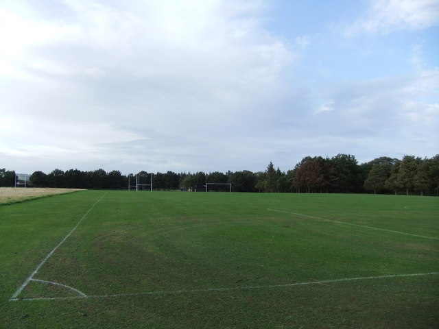
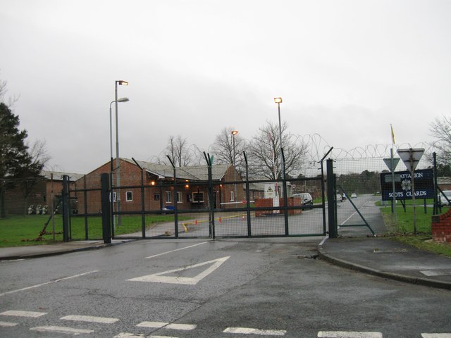
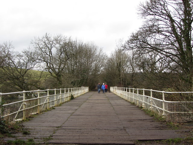
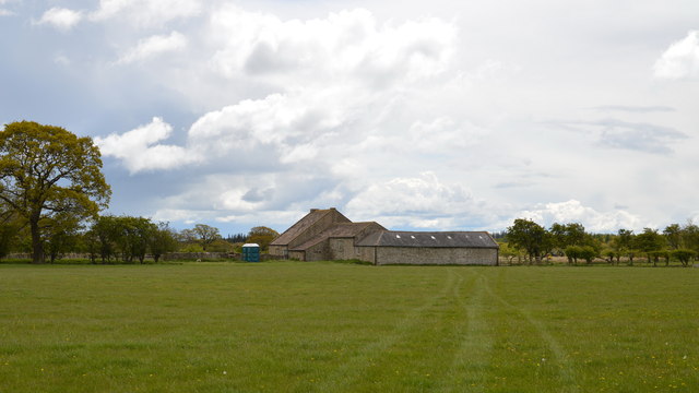
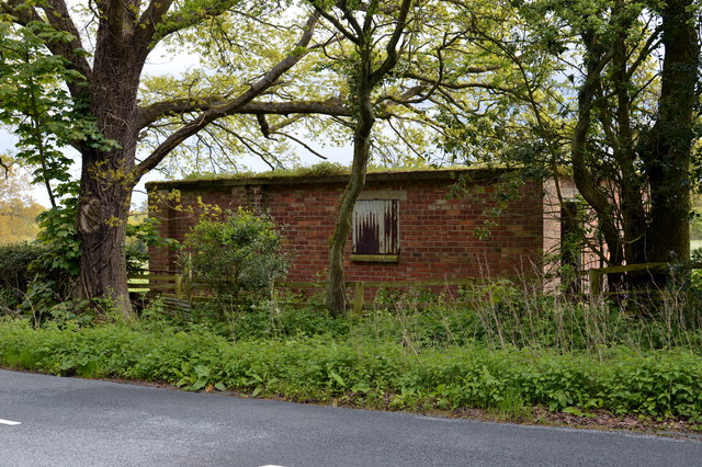
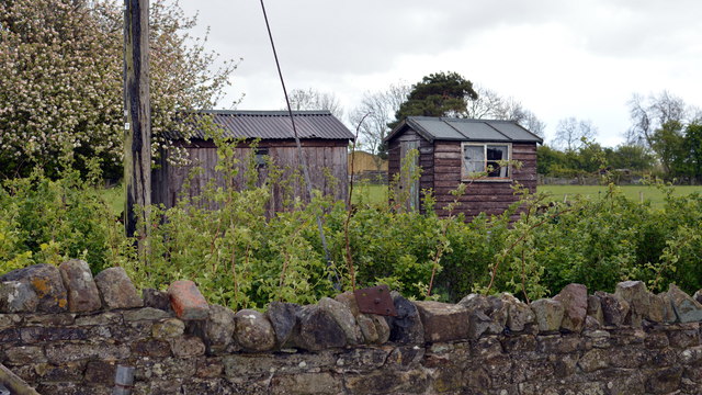
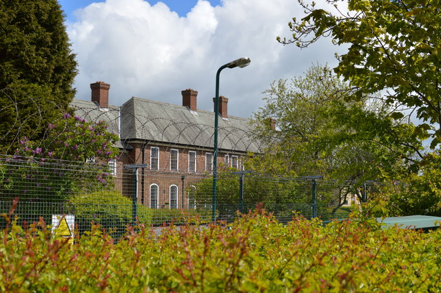
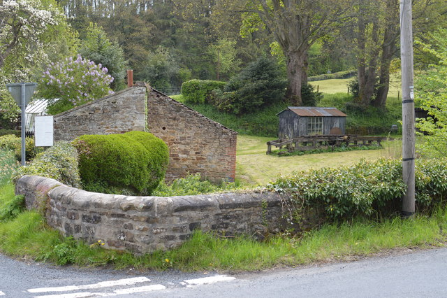
Sandbeck Images
Images are sourced within 2km of 54.393317/-1.7439444 or Grid Reference SE1699. Thanks to Geograph Open Source API. All images are credited.


Sandbeck is located at Grid Ref: SE1699 (Lat: 54.393317, Lng: -1.7439444)
Division: North Riding
Administrative County: North Yorkshire
District: Richmondshire
Police Authority: North Yorkshire
What 3 Words
///totals.unsecured.included. Near Richmond, North Yorkshire
Nearby Locations
Related Wikis

St Martin's, North Yorkshire
St Martin's is a civil parish in North Yorkshire, England. It is located south of the town of Richmond, covering the residential areas south of the River...
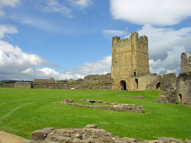
Richmond Castle
Richmond Castle in Richmond, North Yorkshire, England, stands in a commanding position above the River Swale, close to the centre of the town of Richmond...

Richmond Falls
Richmond Falls are a series of waterfalls along the River Swale, they are situated at grid reference NZ173006 near to the town centre of Richmond, North...

Richmond Town Hall, North Yorkshire
Richmond Town Hall is a municipal building in the Market Place, Richmond, North Yorkshire, England. The structure, which is the meeting place of Richmond...

Green Howards Regimental Museum
The Green Howards Regimental Museum is the museum of the Green Howards infantry regiment of the British Army. It is located in the old Trinity Church in...

Richmond, North Yorkshire
Richmond is a market town and civil parish in the district and county of North Yorkshire, England. It is in the Swaledale valley, near the River Swale...

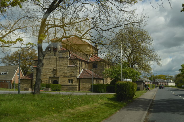
St Joseph and St Francis Xavier Church
St Joseph and St Francis Xavier Church is a Roman Catholic Parish church in Richmond, North Yorkshire. It is situated between Newbiggin and Victoria Road...

Georgian Theatre Royal
The Georgian Theatre Royal is a theatre and historic Georgian playhouse in the market town of Richmond, North Yorkshire, England. It is among the oldest...
Nearby Amenities
Located within 500m of 54.393317,-1.7439444Have you been to Sandbeck?
Leave your review of Sandbeck below (or comments, questions and feedback).