Matfield

Settlement in Kent Tunbridge Wells

England

Matfield

Wet path in Beech Wood Heading towards Cryals Road.
Wet path in Beech Wood Credit: Robin Webster

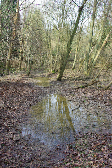
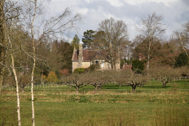
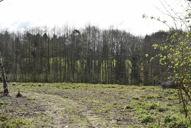
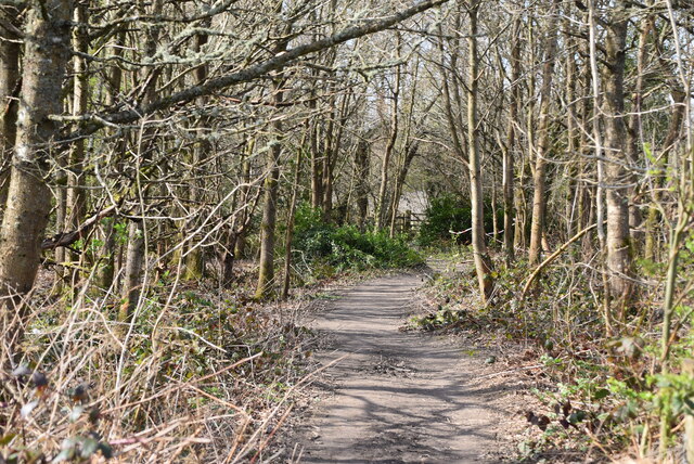
Matfield is a charming village located in the county of Kent, England. Situated approximately 15 miles southeast of the county town of Maidstone, Matfield is part of the borough of Tunbridge Wells. The village is nestled in the picturesque High Weald Area of Outstanding Natural Beauty, surrounded by rolling hills, lush countryside, and enchanting woodlands.

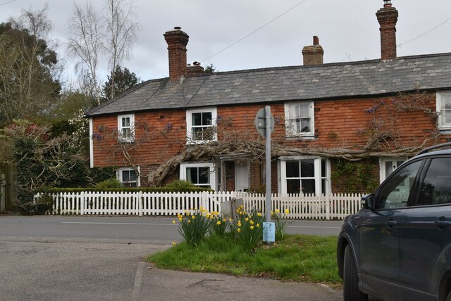
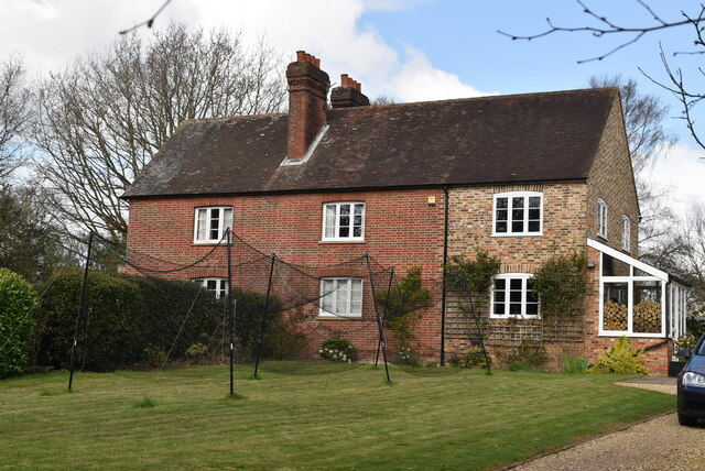
With a population of around 900 residents, Matfield has a close-knit community that exudes a friendly and welcoming atmosphere. The village is renowned for its quintessential English charm, with a delightful mix of traditional and modern architecture. The centerpiece of the village is Matfield Green, a picturesque village green surrounded by a collection of historic and well-preserved buildings.

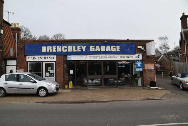
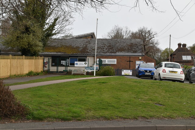
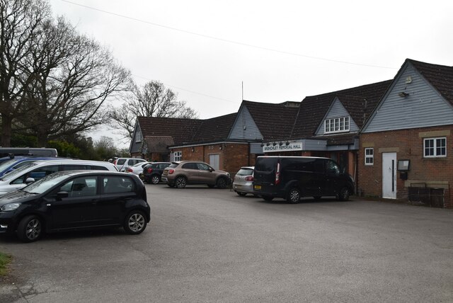
In terms of amenities, Matfield boasts a range of facilities to cater to the needs of its residents. These include a village hall, a primary school, a local pub, a cricket pitch, and a recreation ground. The village also hosts various community events throughout the year, such as fairs and festivals, which bring locals and visitors together.

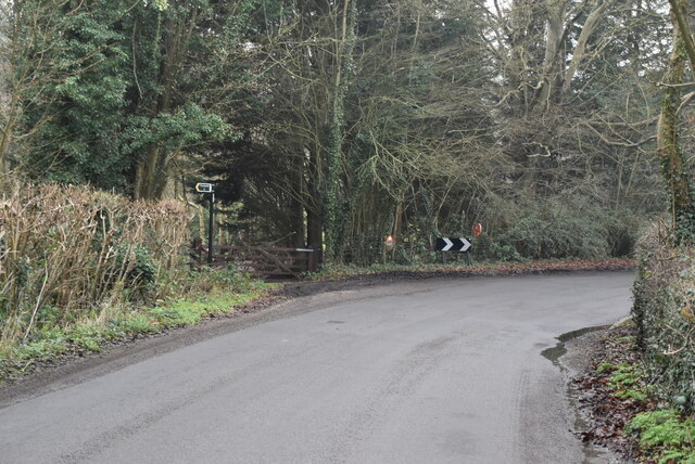
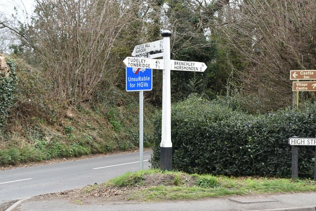
Matfield is well-connected to the surrounding areas, with easy access to major roads and transportation networks. The nearby towns of Tunbridge Wells and Paddock Wood provide additional amenities and services for residents, including shopping centers, restaurants, and leisure facilities.

Overall, Matfield is a charming and idyllic village that offers a peaceful and picturesque setting for its residents. With its rich history, natural beauty, and strong sense of community, Matfield is a highly desirable place to live in the heart of the beautiful Kent countryside.

If you have any feedback on the listing, please let us know in the comments section below.
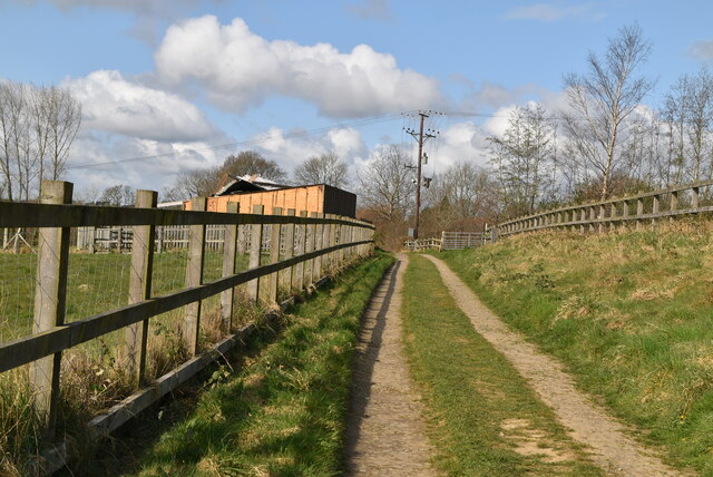
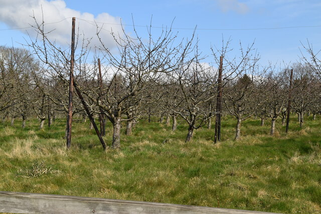
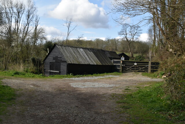
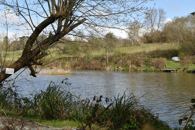
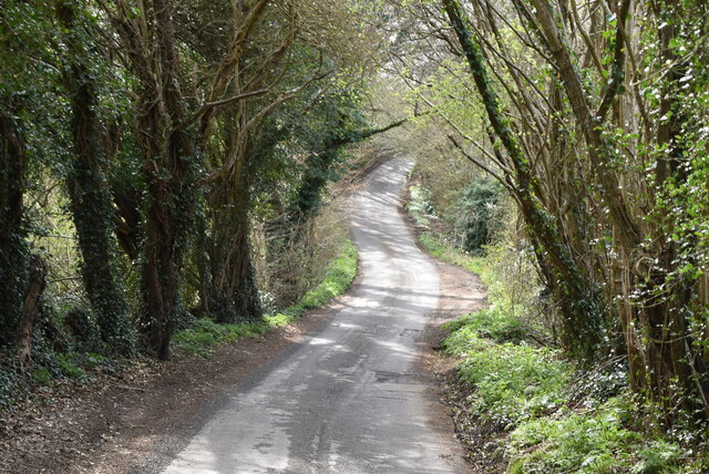
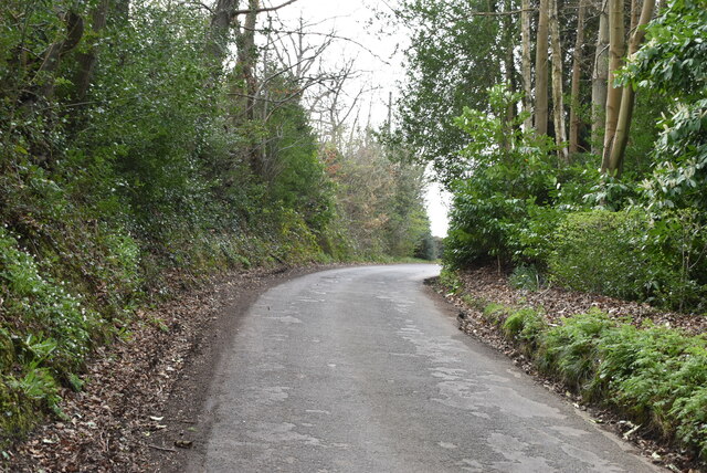
Matfield Images

Images are sourced within 2km of 51.152436/0.366058 or Grid Reference TQ6541. Thanks to Geograph Open Source API. All images are credited.

Wet path in Beech Wood Heading towards Cryals Road.
Wet path in Beech Wood
Heading towards Cryals Road.
Sharp bend, Cryals Rd
The Cressen
The Cressen
Old milestone A milestone is one of a series of numbered markers placed along a road, canal, railway or sometimes paths at intervals of one mile or occasionally, parts of a mile. They are typically located at the side of the route. They are alternatively known as mileposts or mile posts (abbreviated MP on maps). Mileage is the distance along the route from a fixed starting point.
Milestones are constructed to provide reference points along the route. This can be used to reassure travellers that the correct route is being followed, and to indicate either distance travelled or the remaining distance to a destination.
Wikipedia: <span class="nowrap"><a title="http://en.wikipedia.org/wiki/Milestone" rel="nofollow ugc noopener" href="http://en.wikipedia.org/wiki/Milestone">Link</a><img style="margin-left:2px;" alt="External link" title="External link - shift click to open in new window" src="https://s1.geograph.org.uk/img/external.png" width="10" height="10"/></span>
Old milestone
A milestone is one of a series of numbered markers placed along a road, canal, railway or sometimes paths at intervals of one mile or occasionally, parts of a mile. They are typically located at the side of the route. They are alternatively known as mileposts or mile posts (abbreviated MP on maps). Mileage is the distance along the route from a fixed starting point. Milestones are constructed to provide reference points along the route. This can be used to reassure travellers that the correct route is being followed, and to indicate either distance travelled or the remaining distance to a destination. Wikipedia: LinkExternal link
Brenchley Garage
Brenchley Garage
Brenchley & Matfield Primary School
Brenchley Memorial Hall Brenchley is an attractive village east of Tunbridge Wells. It has a number of Tudor and Elizabethan buildings and many listed buildings. The village has a church, school, post office and butchers.
Website: <span class="nowrap"><a title="http://www.villagenet.co.uk/highweald/villages/brenchley.php" rel="nofollow ugc noopener" href="http://www.villagenet.co.uk/highweald/villages/brenchley.php">Link</a><img style="margin-left:2px;" alt="External link" title="External link - shift click to open in new window" src="https://s1.geograph.org.uk/img/external.png" width="10" height="10"/></span>
Brenchley Memorial Hall
Brenchley is an attractive village east of Tunbridge Wells. It has a number of Tudor and Elizabethan buildings and many listed buildings. The village has a church, school, post office and butchers. Website: LinkExternal link
Roadsign
Roadsign
HWLT The High Weald Landscape Trail (HWLT) is a 90 mile route between Horsham, West Sussex and Rye, East Sussex, designed to pass through the main landscape types of the High Weald Area of Outstanding Natural Beauty (AONB). It does not follow the highest ground, and the eastern section is only a few feet above sea level. It keeps to the northern edge of the High Weald except in the west where it runs close to the southern edge for a short distance.
It is a trail of regional importance supported by the High Weald Forum and local authorities in East and West Sussex, and Kent. The route is well signposted. It follows public rights of way and roads with the occasional permissive path.
The geology is alternating sandstones and clays, and the latter can be very muddy in wet conditions so boots are a must except in very dry weather. Some sections become very overgrown in summer with nettles and brambles.
HWLT
The High Weald Landscape Trail (HWLT) is a 90 mile route between Horsham, West Sussex and Rye, East Sussex, designed to pass through the main landscape types of the High Weald Area of Outstanding Natural Beauty (AONB). It does not follow the highest ground, and the eastern section is only a few feet above sea level. It keeps to the northern edge of the High Weald except in the west where it runs close to the southern edge for a short distance. It is a trail of regional importance supported by the High Weald Forum and local authorities in East and West Sussex, and Kent. The route is well signposted. It follows public rights of way and roads with the occasional permissive path. The geology is alternating sandstones and clays, and the latter can be very muddy in wet conditions so boots are a must except in very dry weather. Some sections become very overgrown in summer with nettles and brambles.
Orchard
Orchard
Farm building
Farm building
Southfield Farm
Southfield Farm
HWLT The High Weald Landscape Trail (HWLT) is a 90 mile route between Horsham, West Sussex and Rye, East Sussex, designed to pass through the main landscape types of the High Weald Area of Outstanding Natural Beauty (AONB). It does not follow the highest ground, and the eastern section is only a few feet above sea level. It keeps to the northern edge of the High Weald except in the west where it runs close to the southern edge for a short distance.
It is a trail of regional importance supported by the High Weald Forum and local authorities in East and West Sussex, and Kent. The route is well signposted. It follows public rights of way and roads with the occasional permissive path.
The geology is alternating sandstones and clays, and the latter can be very muddy in wet conditions so boots are a must except in very dry weather. Some sections become very overgrown in summer with nettles and brambles.
HWLT
The High Weald Landscape Trail (HWLT) is a 90 mile route between Horsham, West Sussex and Rye, East Sussex, designed to pass through the main landscape types of the High Weald Area of Outstanding Natural Beauty (AONB). It does not follow the highest ground, and the eastern section is only a few feet above sea level. It keeps to the northern edge of the High Weald except in the west where it runs close to the southern edge for a short distance. It is a trail of regional importance supported by the High Weald Forum and local authorities in East and West Sussex, and Kent. The route is well signposted. It follows public rights of way and roads with the occasional permissive path. The geology is alternating sandstones and clays, and the latter can be very muddy in wet conditions so boots are a must except in very dry weather. Some sections become very overgrown in summer with nettles and brambles.
Southfield Cottage
Southfield Cottage
Tibbs Court Lane
Tibbs Court Lane
Tibbs Court Lane
Tibbs Court Lane
Show me another place!

Matfield is located at Grid Ref: TQ6541 (Lat: 51.152436, Lng: 0.366058)

Administrative County: Kent

District: Tunbridge Wells

Police Authority: Kent

What 3 Words

///denoting.chaos.seagulls. Near Brenchley, Kent

Nearby Locations

Knells Bottom Matfield

Related Wikis

Matfield House

Matfield House is a Grade I listed Georgian house in the village of Matfield, Kent, England.The house was built in 1728 in the Queen Anne style for Thomas...

Matfield

Matfield is a small village, part of the civil parish of Brenchley and Matfield, in the Tunbridge Wells borough of Kent, England. Matfield was awarded...

Brenchley Wood

Brenchley Wood is a 15-hectare (37-acre) nature reserve south of Paddock Wood in Kent. It is managed by the Kent Wildlife Trust, and it is part of the...

St Luke's Church, Matfield

St Luke's Church is a parish church in the village of Matfield, Kent, England. It is a Grade II listed building.The church is dedicated to Luke the Evangelist...

Nearby Amenities

Located within 500m of 51.152436,0.366058
Matfield
Created By: Potlatch 0.10f
Place: village
Postal Code: TN12
Wikidata: Q2183870
Lat/Long: 51.151695/0.3693525
Bus Stop
Standing Cross
Naptan AtcoCode: 2400A037650A
Naptan Bearing: SW
Naptan CommonName: Standing Cross
Naptan Indicator: SW-bound
Naptan Landmark: Standing Cross Ph
Naptan NaptanCode: kntdpatj
Naptan Street: Maidstone Road
Naptan Verified: no
Source: naptan_import
Lat/Long: 51.1533372/0.3727833
Bus Stop
Wheelwrights Arms
Naptan AtcoCode: 2400A037660A
Naptan Bearing: SW
Naptan CommonName: Wheelwrights Arms
Naptan Indicator: opp
Naptan Landmark: Wheelwrights Arms
Naptan NaptanCode: kntdpatm
Naptan Street: Maidstone Road
Naptan Verified: no
Source: naptan_import
Lat/Long: 51.1502674/0.3693797
Bus Stop
Wheelwrights Arms
Flag: no
Naptan AtcoCode: 2400A037720A
Naptan Bearing: NE
Naptan BusStopType: CUS
Naptan CommonName: Wheelwrights Arms
Naptan Indicator: o/s
Naptan Landmark: Wheelwrights Arms
Naptan NaptanCode: kntdpawj
Naptan Street: Maidstone Road
Naptan Verified: no
Public Transport: platform
Source: naptan_import
Lat/Long: 51.1506456/0.3693562
Bus Stop
Standing Cross
Naptan AtcoCode: 2400A037730A
Naptan Bearing: NE
Naptan CommonName: Standing Cross
Naptan Indicator: NE-bound
Naptan Landmark: Standing Cross
Naptan NaptanCode: kntdpawm
Naptan Street: Maidstone Rd
Naptan Verified: no
Source: naptan_import
Lat/Long: 51.1532796/0.3725229
Traffic Calming: choker
Lat/Long: 51.1525985/0.3720378
Community Centre
Matfield Village Hall
Lat/Long: 51.1498591/0.3683818
Addr City: Matfield
Addr Postcode: TN12 7JX
Addr Street: Maidstone Road
Building: yes
Disused Amenity: pub
Disused Operator: Shepherd Neame
Old Name: The Wheelright arms
Operational Status: closed
Lat/Long: 51.1501794/0.3690525
Mark & Sons
Addr City: Matfield
Addr Housenumber: Mark & Sons
Addr Postcode: TN12 7JT
Addr Street: The Green
Phone: +44 1892 722115
Shop: butcher
Lat/Long: 51.152319/0.370858
Matfield House
Addr City: Matfield
Addr Housename: Matfield House
Addr Postcode: TN12 7JT
Open To Public: HHA member
Phone: +44 1892 722454
Tourism: attraction
Website: https://matfieldhouse.uk/
Wikidata: Q17524626
Wikipedia: en:Matfield House
Lat/Long: 51.1525798/0.3695007
Public Footpath
Operator: Kent County Council
Tourism: information
Lat/Long: 51.1482406/0.3658057
Barrier: stile
Lat/Long: 51.149242/0.3645469
Public Footpath
Operator: Kent County Council
Tourism: information
Lat/Long: 51.149225/0.3645517
Recycling
Recycling Books: yes
Recycling Clothes: yes
Recycling Music: yes
Recycling Shoes: yes
Recycling Type: container
Lat/Long: 51.1529655/0.3714927
Access: customers
Leisure: playground
Operator: The Star
Lat/Long: 51.1529175/0.3715865
Defibrillator
Emergency: defibrillator
Ref GB The Circuit: 7B2DAAF0-BF56-46F1-AD53-AEA700D7309C
Lat/Long: 51.1525732/0.3712171
Entrance: main
Lat/Long: 51.1525609/0.3712057
Post Box
Collection Times: Mo-Fr 16:30; Sa 11:00
Post Box Type: lamp
Ref: TN12 288
Royal Cypher: EIIR
Royal Cypher Wikidata: Q33102113
Lat/Long: 51.1527588/0.3719089
The data included in this document is from www.openstreetmap.org. The data is made available under ODbL.

Have you been to Matfield?

Leave your review of Matfield below (or comments, questions and feedback).