Roundstreet Common

Settlement in Sussex Chichester

England

Roundstreet Common

Cottage on Vicarage Hill, Roundstreet Common
Cottage on Vicarage Hill, Roundstreet Common Credit: David Howard

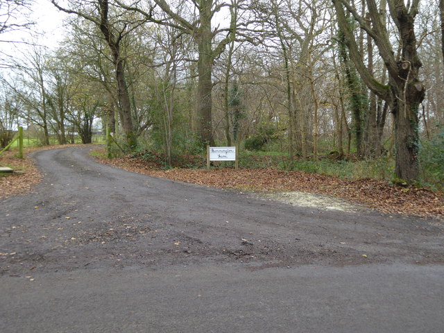
Roundstreet Common is a picturesque area located in the county of Sussex, England. Situated near the village of Roundstreet, it covers an expansive area of approximately 100 acres. Characterized by its rolling hills, abundant greenery, and peaceful atmosphere, this common is a haven for nature enthusiasts and those seeking tranquility away from the bustling city life.

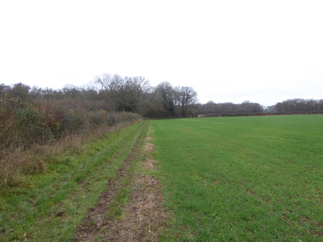
The common is home to a diverse range of flora and fauna, with a variety of trees, plants, and wildflowers adorning the landscape. It is a popular spot for birdwatchers, as numerous species of birds can be spotted here throughout the year, including woodpeckers, robins, and sparrows.

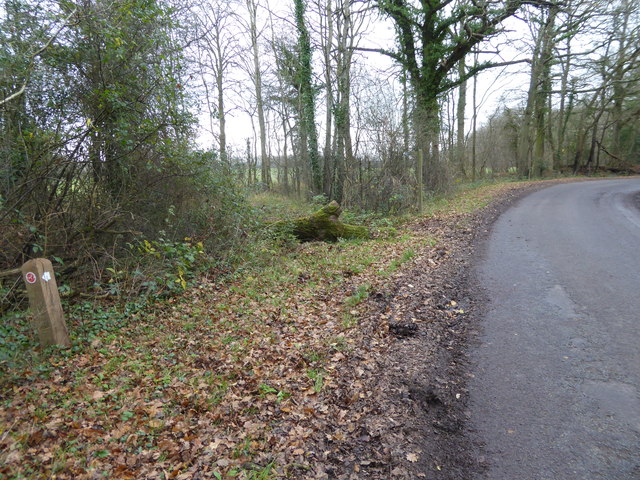
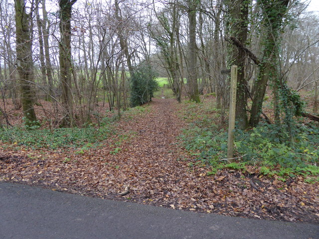
A network of well-maintained footpaths crisscrosses the common, allowing visitors to explore its natural beauty while enjoying leisurely walks or invigorating hikes. The paths lead to several viewpoints, offering breathtaking vistas of the surrounding countryside and distant rolling hills.

Roundstreet Common also holds historical significance. It is believed to have been used as a gathering place for local communities in the past, with remnants of ancient earthworks and burial mounds scattered across the area. These historical features provide a glimpse into the region's rich heritage and offer a sense of connection to the past.

In addition to its natural and historical attractions, the common provides recreational facilities such as picnic areas, benches, and designated areas for outdoor activities. It is a popular destination for families, nature lovers, and individuals seeking a serene retreat in the heart of Sussex.

If you have any feedback on the listing, please let us know in the comments section below.

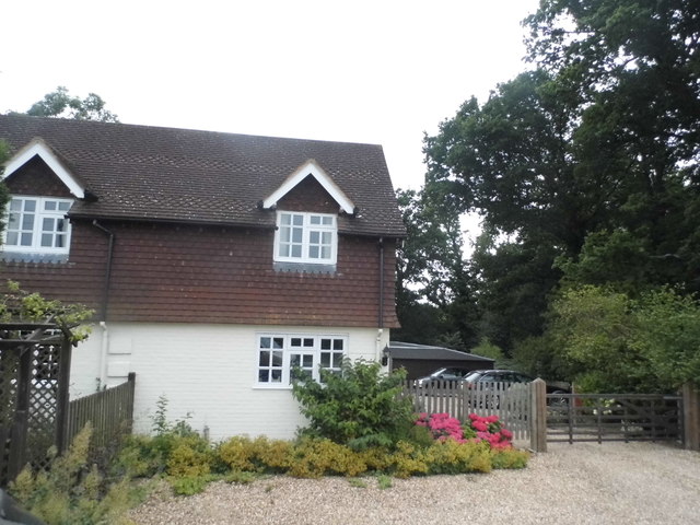
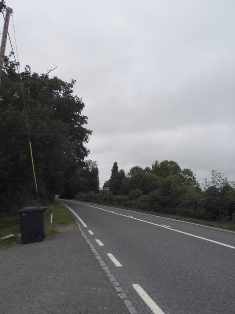
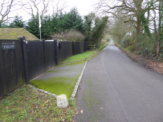
Roundstreet Common Images

Images are sourced within 2km of 51.047622/-0.50200641 or Grid Reference TQ0528. Thanks to Geograph Open Source API. All images are credited.

Cottage on Vicarage Hill, Roundstreet Common
Vicarage Hill, Roundstreet Common
Looking south on Drungewick Lane to bridleway junction The view extends into the next grid square to the south.
Looking south on Drungewick Lane to bridleway junction
The view extends into the next grid square to the south.
Bridleway leaves Drungewick Lane The bridleway goes eastwards for about a quarter of a mile to the B2133.
Bridleway leaves Drungewick Lane
The bridleway goes eastwards for about a quarter of a mile to the B2133.
The entrance to Bonnington Farm on Drungewick Lane
Footpath through Malhamashfold Furze The camera is on Drungewick Lane.
Footpath through Malhamashfold Furze
The camera is on Drungewick Lane.
Entrance to Trenchmore Farm on Drungewick Lane
Footpath sign south of Bignor Farm
Footpath crosses field to footbridge
Footbridge over the River Wey east of Malham See also <a title="https://www.geograph.org.uk/photo/2576262" href="https://www.geograph.org.uk/photo/2576262">Link</a>.
Footbridge over the River Wey east of Malham
See also Link.
Bridge over the Wey and Arun Canal The canal is dry here now.
Bridge over the Wey and Arun Canal
The canal is dry here now.
Lock on the Wey and Arun Canal See <a title="https://www.geograph.org.uk/photo/779059" href="https://www.geograph.org.uk/photo/779059">Link</a> for a photograph from 2008.
Lock on the Wey and Arun Canal
See Link for a photograph from 2008.
Field edge footpath towards Cutt's Copse
Field east of Cutt's Copse
Looking west from bridleway south of Malham The path ahead is not a public right of way.
Looking west from bridleway south of Malham
The path ahead is not a public right of way.
Field edge bridleway by Smale Hanger
Bridleway enters Smale Copse
Bridleway leaves Smale Copse
Show me another place!

Roundstreet Common is located at Grid Ref: TQ0528 (Lat: 51.047622, Lng: -0.50200641)

Administrative County: West Sussex

District: Chichester

Police Authority: Sussex

What 3 Words

///trickster.pupils.mothering. Near Billingshurst, West Sussex

Related Wikis

Nearby Amenities

Located within 500m of 51.047622,-0.50200641
Roundstreet Common
Naptan AtcoCode: 4400HR0268
Naptan Bearing: N
Naptan BusStopType: CUS
Naptan CommonName: Roundstreet Common
Naptan Indicator: Opp Drungewick Lane
Naptan Landmark: Drungewick Lane
Naptan NaptanCode: wsxawada
Naptan Street: B2133
Naptan Verified: no
Source: naptan_import
Lat/Long: 51.0476798/-0.5020988
Roundstreet Common
Naptan AtcoCode: 4400HR0269
Naptan Bearing: S
Naptan BusStopType: CUS
Naptan CommonName: Roundstreet Common
Naptan Indicator: Adj Drungewick Lane
Naptan Landmark: Drungewick Lane
Naptan NaptanCode: wsxawadg
Naptan Street: B2133
Naptan Verified: no
Source: naptan_import
Lat/Long: 51.047533/-0.5018753
Post Box
Operator: Royal Mail
Post Box Type: wall
Ref: RH14 12
Royal Cypher: VR
Royal Cypher Wikidata: Q33102356
Lat/Long: 51.0471518/-0.5019423
Anstead Farm
Place: farm
Lat/Long: 51.0479047/-0.5010029
Roundstreet Common
Place: hamlet
Lat/Long: 51.0472476/-0.5020718
Grigg's Gate
Place: locality
Lat/Long: 51.0509634/-0.5000497
The data included in this document is from www.openstreetmap.org. The data is made available under ODbL.

Have you been to Roundstreet Common?

Leave your review of Roundstreet Common below (or comments, questions and feedback).