Rookery
Settlement in Warwickshire Warwick
England
Rookery
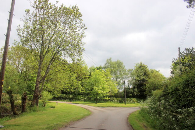
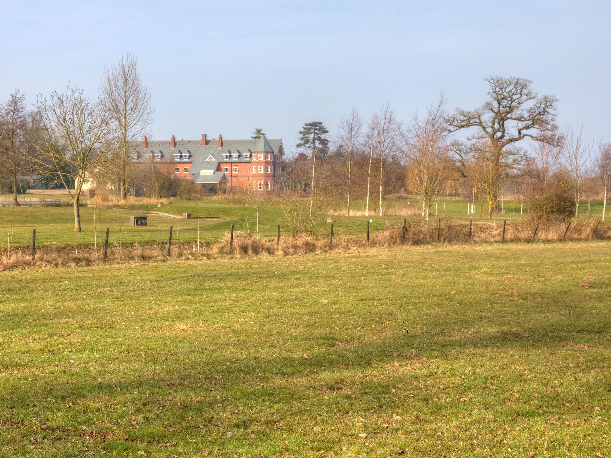
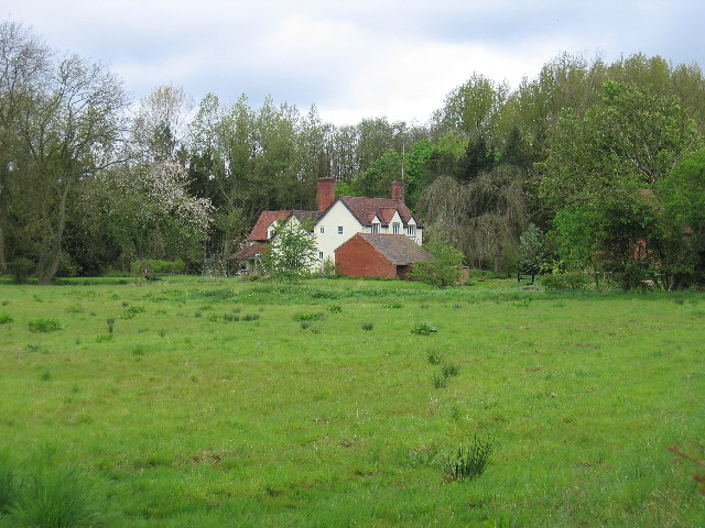
Rookery is a charming village located in the county of Warwickshire, England. Situated approximately 10 miles south of the bustling town of Warwick, Rookery offers a peaceful and idyllic setting for its residents and visitors. The village is nestled amidst rolling countryside, with picturesque views of green fields and meandering rivers.
Despite its small size, Rookery boasts a rich history dating back several centuries. The village's name is believed to originate from the presence of rooks, a type of black bird, which have traditionally nested in the area. This connection to nature is reflected in the village's tranquil atmosphere and surrounding natural beauty.
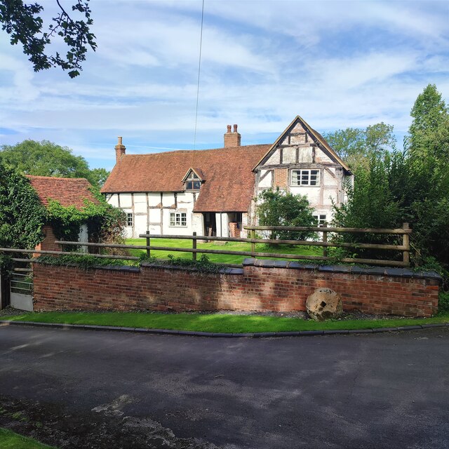
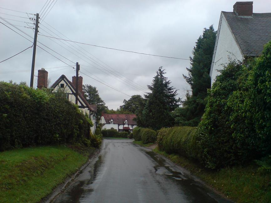
The heart of Rookery is its quaint village center, characterized by traditional thatched cottages and charming gardens. A small but welcoming community gathers at the local pub, The Rook's Nest, which serves as a gathering place for residents and a warm welcome to visitors. The pub offers a selection of locally brewed ales and hearty pub food, adding to the village's authentic charm.
Surrounded by lush countryside, Rookery provides plenty of opportunities for outdoor activities. The nearby Rookery Woods offer scenic walking trails and a chance to discover the area's diverse flora and fauna. The village is also a short distance from the historic Warwick Castle, which attracts thousands of tourists each year with its medieval architecture and fascinating exhibitions.
Overall, Rookery is a hidden gem in Warwickshire, offering a peaceful retreat from the busyness of modern life. Its natural beauty, rich history, and friendly community make it a delightful place to visit or call home.
If you have any feedback on the listing, please let us know in the comments section below.
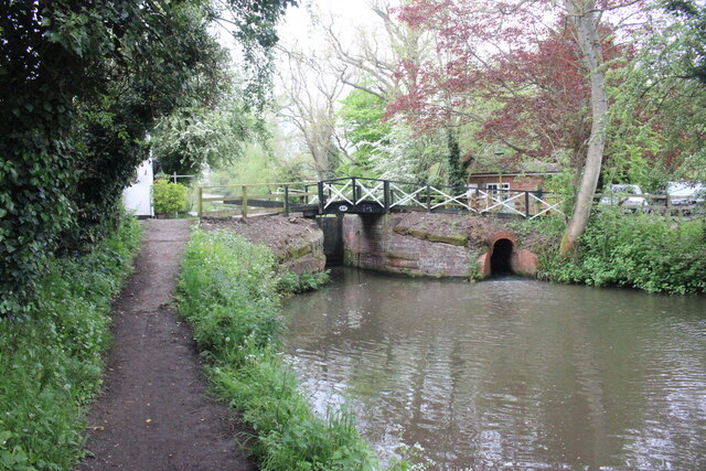
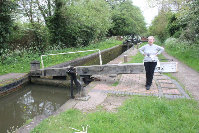
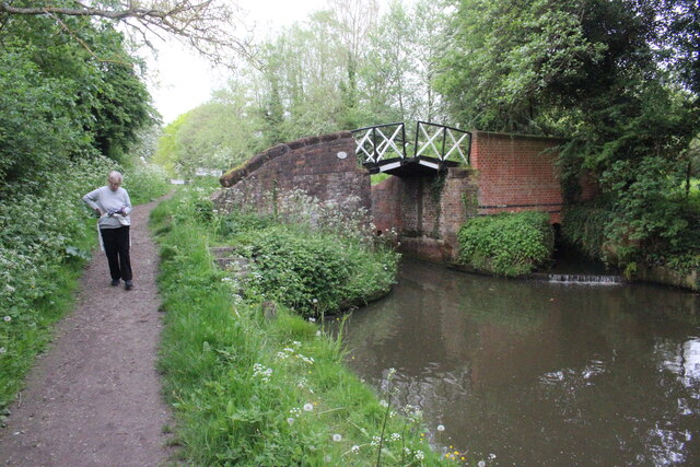
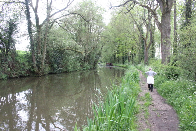
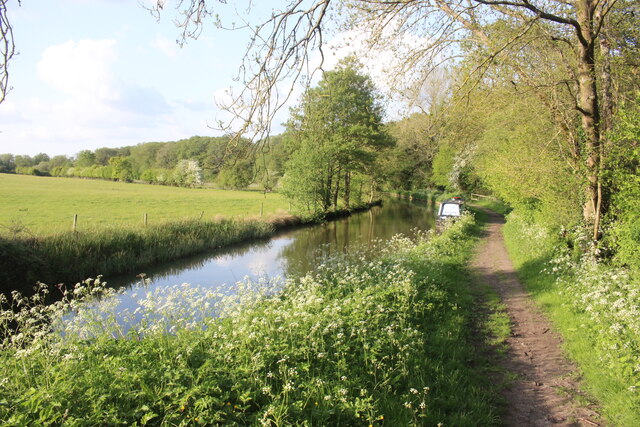
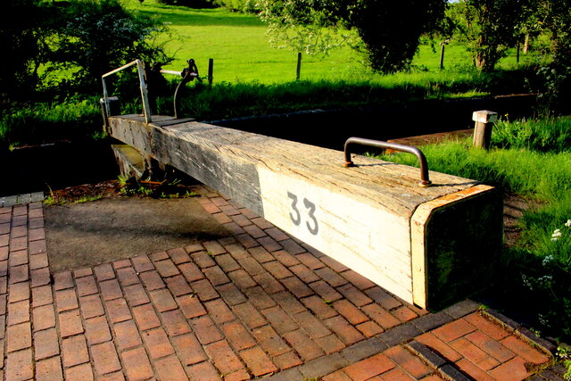
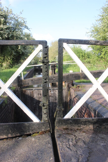
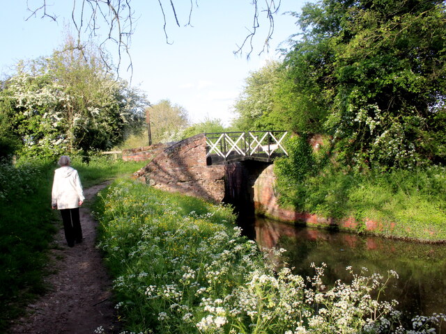
Rookery Images
Images are sourced within 2km of 52.298905/-1.7326603 or Grid Reference SP1866. Thanks to Geograph Open Source API. All images are credited.


Rookery is located at Grid Ref: SP1866 (Lat: 52.298905, Lng: -1.7326603)
Administrative County: Warwickshire
District: Warwick
Police Authority: Warwickshire
What 3 Words
///blissful.calms.stepping. Near Henley in Arden, Warwickshire
Nearby Locations
Related Wikis

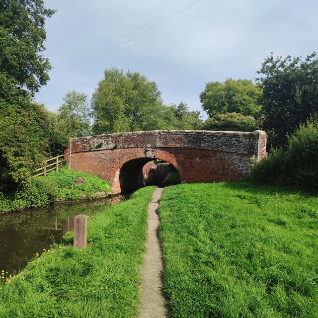
Yarningale Aqueduct
Yarningale Aqueduct is one of three aqueducts on a 4 miles (6 km) length of the Stratford-upon-Avon Canal in Warwickshire. It spans the Kingswood Brook...
Lowsonford
Lowsonford is a small village within the parish of Rowington in Warwickshire, England. The village lies 4 miles (6.4 km) north-east of Henley-in-Arden...

Preston Bagot
Preston Bagot is a village and civil parish in the Stratford district of Warwickshire, England, about 6 miles (9.7 km) west of the county town of Warwick...

Barnmoor Green
Barnmoor Green is a village in Warwickshire, England. For populations details see Claverdon.
Ardencote Manor
Ardencote Manor is a hotel and former manor house located 0.5 miles (0.8 km) north of the village of Claverdon, Warwickshire, England. The manor was originally...
Bushwood
Bushwood is a hamlet in Warwickshire, located three miles north of Henley in Arden and a mile west of the M40 motorway. There is no village centre as such...
Buckley Green
Buckley Green is a small village and village green situated 0.75 miles north of Henley-in-Arden, Warwickshire. Population details can be found under Beaudesert

Mercia Mudstone Group
The Mercia Mudstone Group is an early Triassic lithostratigraphic group (a sequence of rock strata) which is widespread in Britain, especially in the English...
Nearby Amenities
Located within 500m of 52.298905,-1.7326603Have you been to Rookery?
Leave your review of Rookery below (or comments, questions and feedback).