Rhynie
Settlement in Ross-shire
Scotland
Rhynie
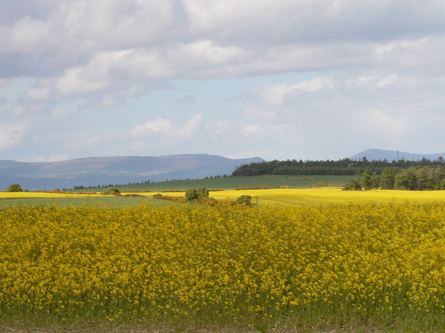
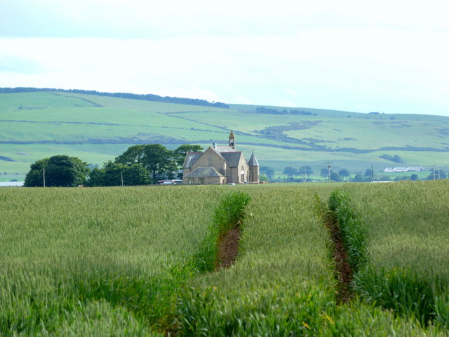
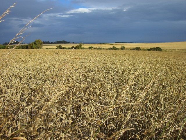
Rhynie is a small village located in the historic county of Ross-shire, in the Highlands of Scotland. Situated approximately 11 miles northwest of the town of Huntly, Rhynie is nestled in a picturesque landscape characterized by rolling hills and lush green fields.
The village has a rich history that dates back to ancient times. It is famous for its well-preserved Pictish symbol stones, which are thought to have been carved in the 5th and 6th centuries AD. These stones provide valuable insights into the culture and art of the Picts, an ancient Celtic people who inhabited this region.
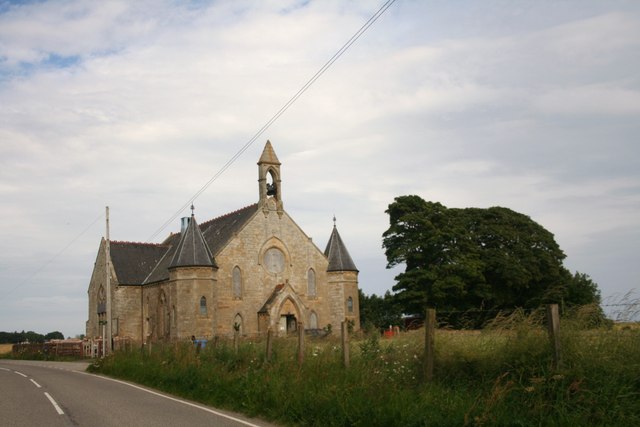
Rhynie is also renowned for its archaeological site, which includes a complex of early medieval structures known as "Rhynie Man." This unique site features the remains of a timber hall, an early Christian chapel, and a cemetery. Excavations have revealed artifacts such as jewelry, pottery, and tools, shedding light on the lives of the people who lived here centuries ago.
Today, Rhynie is a peaceful village with a close-knit community. It offers a range of amenities, including a primary school, a village hall, and a post office. The surrounding countryside provides ample opportunities for outdoor activities such as hiking, cycling, and fishing.
In conclusion, Rhynie is a captivating village in Ross-shire, Scotland, that boasts a fascinating history and stunning natural beauty. Whether visitors are interested in exploring ancient ruins, immersing themselves in Scottish culture, or simply enjoying the tranquility of the countryside, Rhynie offers something for everyone.
If you have any feedback on the listing, please let us know in the comments section below.
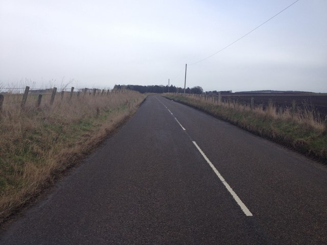
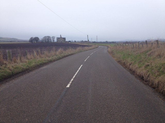
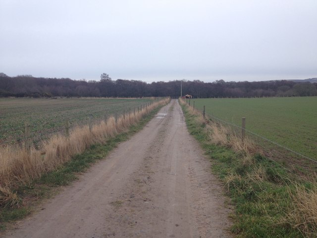
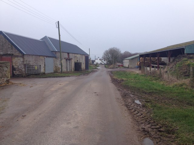
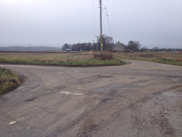
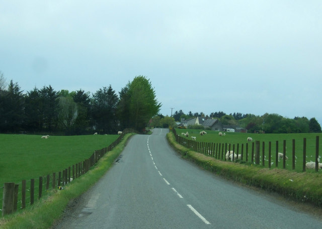
Rhynie Images
Images are sourced within 2km of 57.787798/-3.9378614 or Grid Reference NH8479. Thanks to Geograph Open Source API. All images are credited.


Rhynie is located at Grid Ref: NH8479 (Lat: 57.787798, Lng: -3.9378614)
Unitary Authority: Highland
Police Authority: Highlands and Islands
What 3 Words
///nights.leaky.toddler. Near Balintore, Highland
Nearby Locations
Related Wikis

Lochslin
Lochslin (Scottish Gaelic: Loch Slinn) is a small hamlet, situated northeast of the fresh water loch, Loch Eye in Tain, Ross-shire, Scottish Highlands...

Loch Slin Castle
Loch Slin Castle (sometimes spelt Lochslin) is a ruined castle near Fearn, Highland, Scotland. From the 15th to 17th centuries it was the seat of the Vass...

Loch Eye
Loch Eye is a shallow freshwater loch, located close to the east coast of Scotland between the Moray Firth, Dornoch Firth and Cromarty Firth. Covering...

Fearn, Highland
Fearn (Scottish Gaelic: Manachainn Rois) is a hamlet, situated 1 mile (1.6 km) south of Loch Eye and 2 miles (3.2 km) northwest of Balintore, in eastern...

Hill of Fearn
Hill of Fearn (Scottish Gaelic: Baile an Droma) is a small village near Tain in Easter Ross, in the Scottish council area of Highland. == Geography... ==

Fearn Abbey
Fearn Abbey – known as "The Lamp of the North" – has its origins in one of Scotland's oldest pre-Reformation church buildings. Part of the Church of Scotland...

Tain Air Weapons Range
Tain Air Weapons Range is a Ministry of Defence air weapons range on the Dornoch Firth near Tain in Scotland. Royal Air Force aircrews from RAF Lossiemouth...

Hilton of Cadboll Stone
The Hilton of Cadboll Stone is a Class II Pictish stone discovered at Hilton of Cadboll, on the East coast of the Tarbat Peninsula in Easter Ross, Scotland...
Nearby Amenities
Located within 500m of 57.787798,-3.9378614Have you been to Rhynie?
Leave your review of Rhynie below (or comments, questions and feedback).