Rhiw-lâs

Settlement in Monmouthshire

Wales

Rhiw-lâs

On the A40 heading for Abergavenny
On the A40 heading for Abergavenny Credit: Rob Purvis

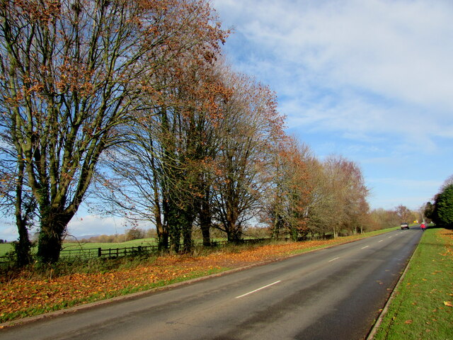
Rhiw-lâs is a small village located in the county of Monmouthshire, Wales. Situated in the eastern part of the county, it lies approximately 5 miles northeast of the town of Abergavenny. The village is nestled within the picturesque landscape of the Black Mountains, offering stunning views of the surrounding countryside.

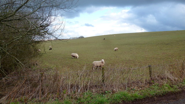
Rhiw-lâs is a traditional Welsh village, characterized by its quaint charm and close-knit community. The village is primarily residential, with a small number of houses and cottages scattered throughout the area. The village's population is relatively small, reflecting its rural setting.

Despite its size, Rhiw-lâs has a strong sense of community spirit. Local events and gatherings are organized regularly, fostering a friendly and welcoming atmosphere. The village also boasts a community center that serves as a hub for social activities and events.

Nature lovers will appreciate the village's proximity to the Brecon Beacons National Park, one of Wales' most renowned natural attractions. Outdoor enthusiasts can enjoy a variety of activities, including hiking, cycling, and wildlife spotting.

While Rhiw-lâs itself does not have many amenities, residents have easy access to nearby towns and villages, such as Abergavenny, which offer a range of services, including shops, schools, and healthcare facilities.

Overall, Rhiw-lâs offers a peaceful and idyllic setting for those seeking a rural lifestyle, with its stunning natural surroundings and strong sense of community.

If you have any feedback on the listing, please let us know in the comments section below.
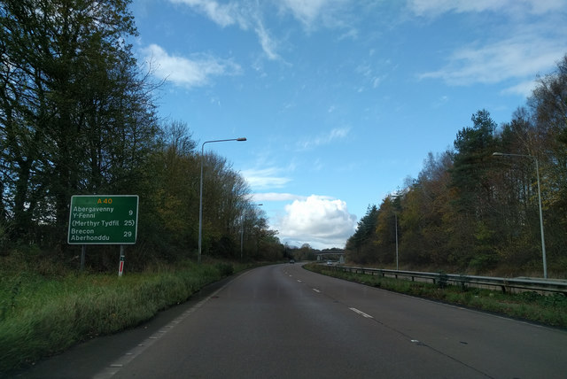
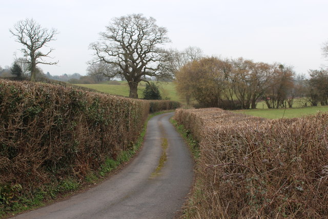
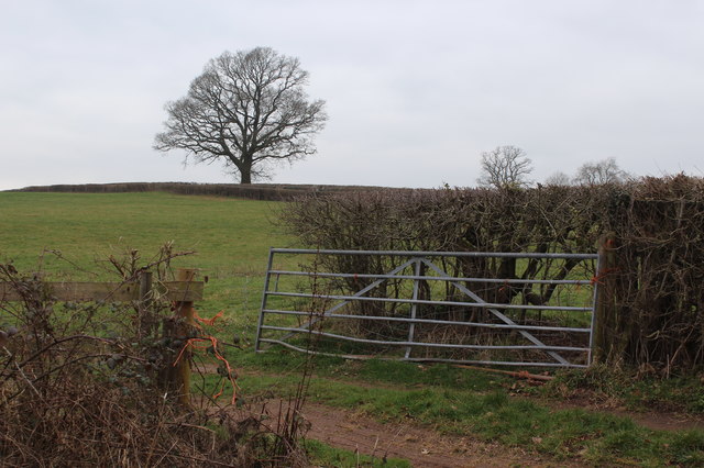
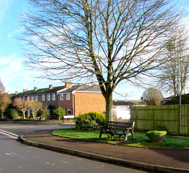
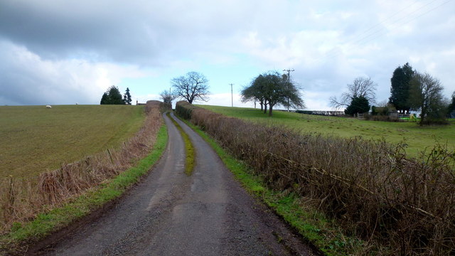
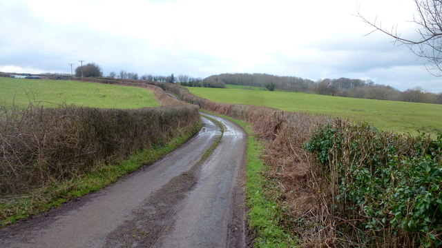
Rhiw-lâs Images

Images are sourced within 2km of 51.75963/-2.8857376 or Grid Reference SO3807. Thanks to Geograph Open Source API. All images are credited.

On the A40 heading for Abergavenny
Lane off Usk Road Hedged in lane just south of junction with old Raglan to Usk road. Field on right of lane - <a href="https://www.geograph.org.uk/photo/6078957">SO4006 : Field next to road junction</a>.
Lane off Usk Road
Hedged in lane just south of junction with old Raglan to Usk road. Field on right of lane - SO4006 : Field next to road junction.
Field next to road junction Field at junction of Usk Road and lane <a href="https://www.geograph.org.uk/photo/6078951">SO4006 : Lane off Usk Road</a>. The bare tree is next to Usk Road.
Field next to road junction
Field at junction of Usk Road and lane SO4006 : Lane off Usk Road. The bare tree is next to Usk Road.
Tree and bench, Usk Road, Raglan, Monmouthshire Near the corner of Prince Charles Road.
Tree and bench, Usk Road, Raglan, Monmouthshire
Near the corner of Prince Charles Road.
Usk Road bus stop, Raglan, Monmouthshire In November 2020 this stop near the corner of Prince Charles Road is on bus route 60 from Monmouth to Newport.
Usk Road bus stop, Raglan, Monmouthshire
In November 2020 this stop near the corner of Prince Charles Road is on bus route 60 from Monmouth to Newport.
Roadside weather station on a pole, Raglan Alongside Usk Road at the southwest edge of Raglan.
Roadside weather station on a pole, Raglan
Alongside Usk Road at the southwest edge of Raglan.
Raglan twinning information Viewed in November 2020. The sign alongside Usk Road at the SW edge of the village shows that Raglan (in  Monmouthshire, Wales) is twinned with Parcé-Sur-Sarthe (France).  The 30 on the sign has been obliterated and replaced by a 20 (mph) sign on grass. Raglan is Rhaglan in Welsh.
Raglan twinning information
Viewed in November 2020. The sign alongside Usk Road at the SW edge of the village shows that Raglan (in Monmouthshire, Wales) is twinned with Parcé-Sur-Sarthe (France). The 30 on the sign has been obliterated and replaced by a 20 (mph) sign on grass. Raglan is Rhaglan in Welsh.
Bilingual village name sign, Usk Road, Raglan, Monmouthshire The sign at the southwest edge of the village shows that Raglan is Rhaglan in Welsh.
Bilingual village name sign, Usk Road, Raglan, Monmouthshire
The sign at the southwest edge of the village shows that Raglan is Rhaglan in Welsh.
End of the 20mph speed limit, Usk Road, Raglan, Monmouthshire Beyond the southwest edge of the village, the 20mph speed limit increases to the National Speed Limit.
End of the 20mph speed limit, Usk Road, Raglan, Monmouthshire
Beyond the southwest edge of the village, the 20mph speed limit increases to the National Speed Limit.
Dog waste bin, Usk Road, Raglan, Monmouthshire Text on the bin in November 2020 includes
"CAUTION : THIS BIN IS BEING MONITORED"
"No Litter / No Bottles / No Cat Litter / Strictly No Bulk"
"Misuse of this bin will result in the service being withdrawn and possible prosecution"
Dog waste bin, Usk Road, Raglan, Monmouthshire
Text on the bin in November 2020 includes "CAUTION : THIS BIN IS BEING MONITORED" "No Litter / No Bottles / No Cat Litter / Strictly No Bulk" "Misuse of this bin will result in the service being withdrawn and possible prosecution"
Cycle Route 423 direction sign, Usk Road, Raglan The small sign on the left here <a title="https://www.geograph.org.uk/photo/6684180" href="https://www.geograph.org.uk/photo/6684180">Link</a> shows 423, indicating National Cycle Network Route 423 which extends from Cwmbran (Torfaen, Wales) to Ross-on-Wye (Herefordshire, England).
Cycle Route 423 direction sign, Usk Road, Raglan
The small sign on the left here Link shows 423, indicating National Cycle Network Route 423 which extends from Cwmbran (Torfaen, Wales) to Ross-on-Wye (Herefordshire, England).
Cold Calling Control Zone notice on an Usk Road lamppost, Raglan Text on the notice in the background here. <a title="https://www.geograph.org.uk/photo/6684174" href="https://www.geograph.org.uk/photo/6684174">Link</a> is in English and Welsh.
Cold calling is the contacting by businesses or their agents of people thought to be potential customers, without the contact having been prearranged.
Cold Calling Control Zone notice on an Usk Road lamppost, Raglan
Text on the notice in the background here. Link is in English and Welsh. Cold calling is the contacting by businesses or their agents of people thought to be potential customers, without the contact having been prearranged.
Fallen leaves, Raglan, Monmouthshire A carpet of dead leaves is on the grass strip in November 2020.
Fallen leaves, Raglan, Monmouthshire
A carpet of dead leaves is on the grass strip in November 2020.
Red entrance gates facing Usk Road, Raglan, Monmouthshire At the entrance to Ross Farm Machinery, on the left here. <a title="https://www.geograph.org.uk/photo/6776647" href="https://www.geograph.org.uk/photo/6776647">Link</a>
Red entrance gates facing Usk Road, Raglan, Monmouthshire
At the entrance to Ross Farm Machinery, on the left here. Link
Raglan Garden Centre Since 2014, a Wyevale-owned business.
See <a href="https://www.geograph.org.uk/photo/1245055">SO3808 : Raglan Garden Centre plant area 1</a> for a picture from the same spot in 2009.
The Sugarloaf and Skirrid are still there on the horizon.
Raglan Garden Centre
Since 2014, a Wyevale-owned business. See SO3808 : Raglan Garden Centre plant area 1 for a picture from the same spot in 2009. The Sugarloaf and Skirrid are still there on the horizon.
Sheep pasture Near Pen-y-rheol.
Sheep pasture
Near Pen-y-rheol.
Lane towards Pen-y-rheol A narrow Monmouthshire lane; Ton Cottages to the right.
Lane towards Pen-y-rheol
A narrow Monmouthshire lane; Ton Cottages to the right.
Lane to Llanwilcae-fach A narrow lane west of the Usk Road.
Lane to Llanwilcae-fach
A narrow lane west of the Usk Road.
Show me another place!

Rhiw-lâs is located at Grid Ref: SO3807 (Lat: 51.75963, Lng: -2.8857376)

Unitary Authority: Monmouthshire

Police Authority: Gwent

What 3 Words

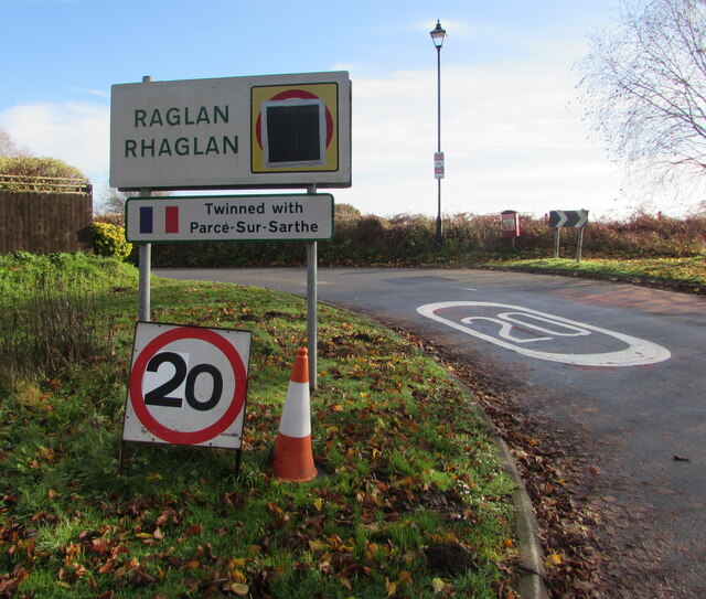
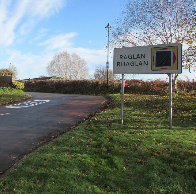
///last.blazers.agency. Near Raglan, Monmouthshire

Nearby Locations

Rhiw-lâs

Related Wikis

Bryngwyn

Bryngwyn is a village and rural location in Monmouthshire, south east Wales. == Location == Bryngwyn is located two miles to the west of Raglan in Monmouthshire...

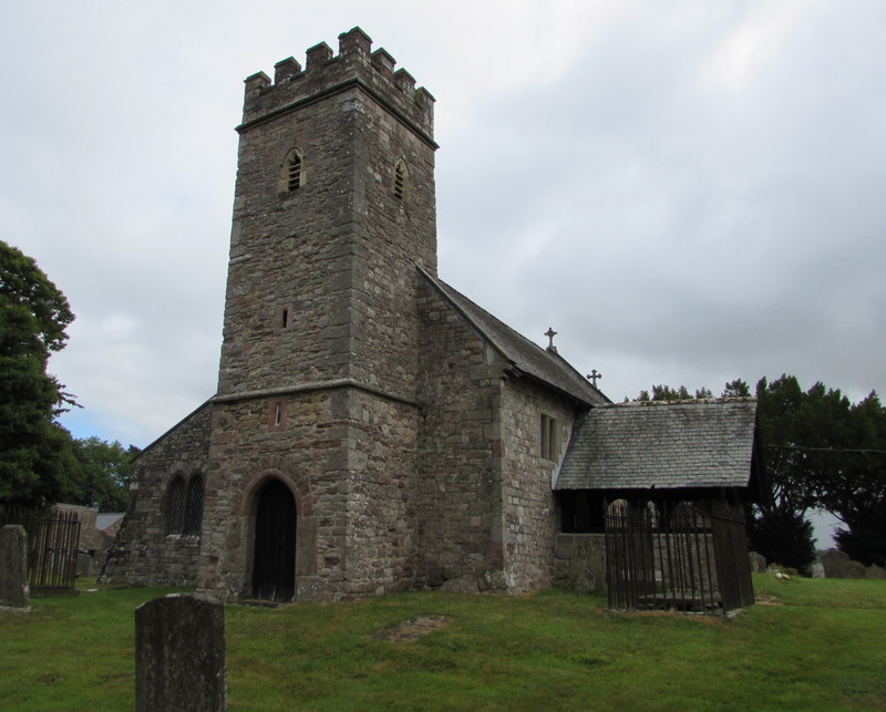
St Peter's Church, Bryngwyn

The Church of St Peter, Bryngwyn, Monmouthshire, Wales is a parish church with its origins in the 13th century. It is a Grade II* listed building. ��2...

St Cadoc's Church, Raglan

St Cadoc's Church, Raglan, Monmouthshire, south east Wales, is the parish church of the village of Raglan. The church is situated at a cross-roads in the...

Raglan, Monmouthshire

Raglan (; (Welsh: Rhaglan) is a village and community in Monmouthshire, south east Wales, United Kingdom. It is located some 9 miles south-west of Monmouth...
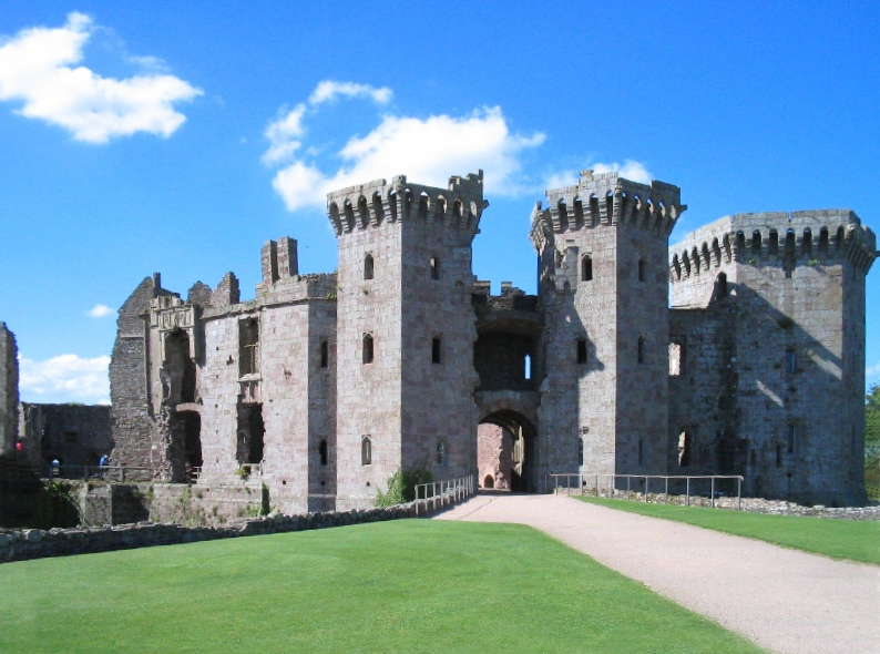
Raglan Castle

Raglan Castle (Welsh: Castell Rhaglan) is a late medieval castle located just north of the village of Raglan in the county of Monmouthshire in south east...

Clytha Castle

Clytha Castle (Welsh: Castell Cleidda) is a folly near Clytha between Llanarth and Raglan in Monmouthshire, south east Wales. Dating from 1790, the castle...

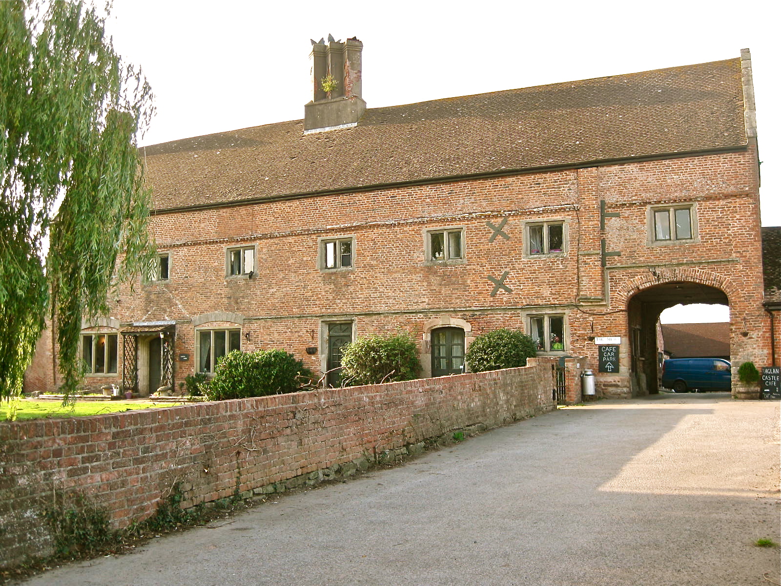
Castle Farmhouse, Raglan

Castle Farm, Raglan, in the county of Monmouth, is prominently sited 100 yards (91 m) east of Raglan Castle. The farm is approached from its own drive...

Great House, Llanarth

Great House, Llanarth, Monmouthshire is a farmhouse dating from the late-16th century. Extended in the mid-17th century and little altered thereafter,...

Nearby Amenities

Located within 500m of 51.75963,-2.8857376
Rhiwlas
Place: hamlet
Lat/Long: 51.760863/-2.8851103
Direction: 215
Generator Method: photovoltaic
Generator Output Electricity: yes
Generator Solar Modules: 15
Generator Source: solar
Generator Type: solar_photovoltaic_panel
Location: roof
Power: generator
Lat/Long: 51.760789/-2.8854547
The data included in this document is from www.openstreetmap.org. The data is made available under ODbL.

Have you been to Rhiw-lâs?

Leave your review of Rhiw-lâs below (or comments, questions and feedback).