Red Hill
Settlement in Nottinghamshire Gedling
England
Red Hill
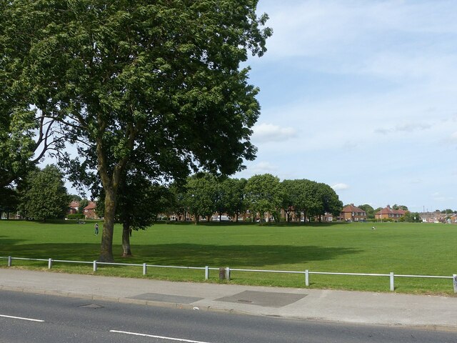
Red Hill is a small village located in Nottinghamshire, England. Situated approximately 12 miles north of Nottingham city centre, it is part of the Bassetlaw district. The village is nestled within the rolling countryside, offering picturesque views and a peaceful atmosphere.
The history of Red Hill dates back several centuries, with evidence of human activity in the area since the Bronze Age. The village itself has a charming, traditional feel, with a mix of old stone cottages and more modern houses. The community is tight-knit and friendly, with a population of around 500 residents.
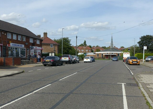
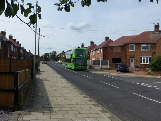
Red Hill is well-connected to nearby towns and cities, with good transport links. The A614 road runs through the village, providing easy access to Nottingham and other surrounding areas. Additionally, there are regular bus services connecting Red Hill to nearby towns and villages.
Despite its small size, Red Hill has a few amenities to offer its residents. There is a local primary school, providing education for children in the area. The village also has a pub, providing a social hub for both locals and visitors.
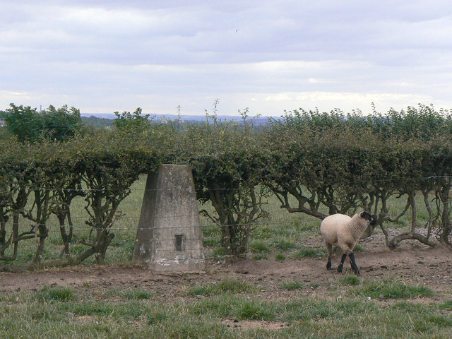
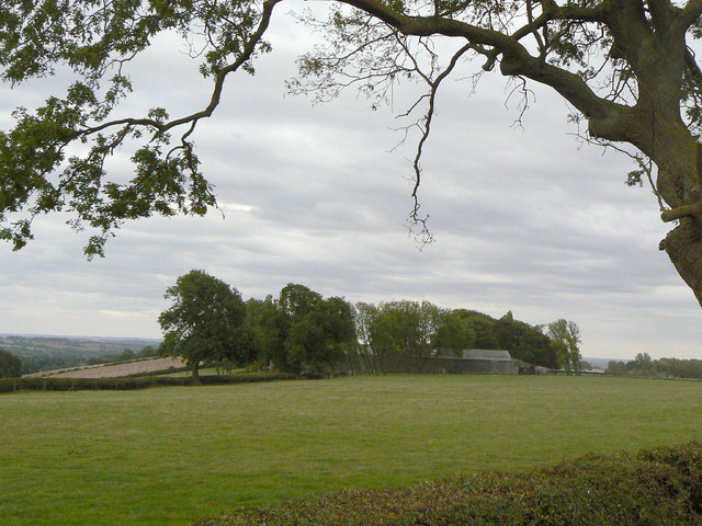
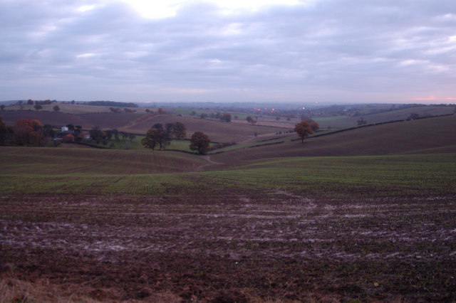
Nature lovers will appreciate the beautiful countryside surrounding Red Hill. There are plenty of walking and cycling paths, offering opportunities to explore the scenic landscapes and enjoy the fresh air.
Overall, Red Hill is a charming and peaceful village, offering a rural escape while still being within reach of larger towns and cities. Its rich history, friendly community, and beautiful surroundings make it an appealing place to live or visit.
If you have any feedback on the listing, please let us know in the comments section below.
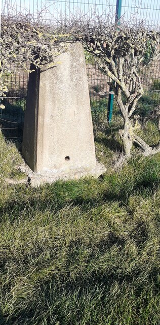
Red Hill Images
Images are sourced within 2km of 53.01974/-1.1309205 or Grid Reference SK5847. Thanks to Geograph Open Source API. All images are credited.


Red Hill is located at Grid Ref: SK5847 (Lat: 53.01974, Lng: -1.1309205)
Administrative County: Nottinghamshire
District: Gedling
Police Authority: Nottinghamshire
What 3 Words
///image.worker.eager. Near Arnold, Nottinghamshire
Nearby Locations
Related Wikis
Dorket Head
Dorket Head is the name of the immediate area surrounding the junction of Lime Lane and Calverton Road in the town of Arnold, Nottinghamshire. It is the...

Redhill, Nottinghamshire
Redhill () is a small community forming part of the much larger town of Arnold in Nottinghamshire, England. It is approximately 4 miles (6.4 km) north...

Bestwood Pumping Station
Bestwood Pumping Station was a water pumping station operating in Nottinghamshire from 1874 until 1964. == History == Bestwood Pumping Station was built...

Redhill Academy
Redhill Academy is a secondary school and sixth form with academy status, situated on Redhill Road in Arnold, Nottinghamshire, England. The school has...
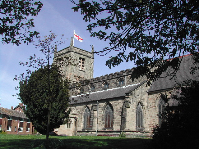
St Mary's Church, Arnold
St. Mary's Church is a parish church in Arnold, Nottinghamshire, England. Though there is no official founding date, it is estimated that the church dates...
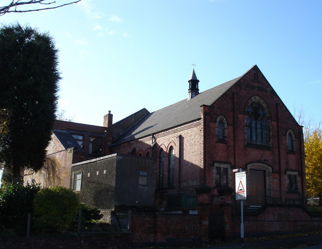
Cross Street Baptist Church
Cross Street Baptist Church is on Cross Street in Arnold, Nottinghamshire. == History == The original Baptist chapel on this site was built in 1825 by...

St Albans, Nottinghamshire
St. Albans is a civil parish in the Gedling borough of Nottinghamshire, England. It was part of the wider Bestwood St. Albans parish, which ceased to exist...

Arnold, Nottinghamshire
Arnold () is a market town in the Borough of Gedling in the county of Nottinghamshire in the East Midlands of England. It is situated to the north-east...
Nearby Amenities
Located within 500m of 53.01974,-1.1309205Have you been to Red Hill?
Leave your review of Red Hill below (or comments, questions and feedback).