Beeston
Settlement in Norfolk Breckland
England
Beeston

Beeston is a small village located in the county of Norfolk, in the eastern part of England. Situated approximately 10 miles west of the city of Norwich, Beeston is known for its picturesque countryside and traditional English charm.
The village is home to a population of around 500 residents and is set amidst rolling green fields and farmland. Beeston is renowned for its peaceful and tranquil atmosphere, making it an ideal place for those seeking a rural escape.
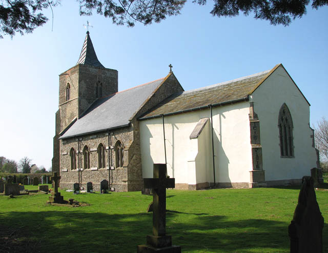
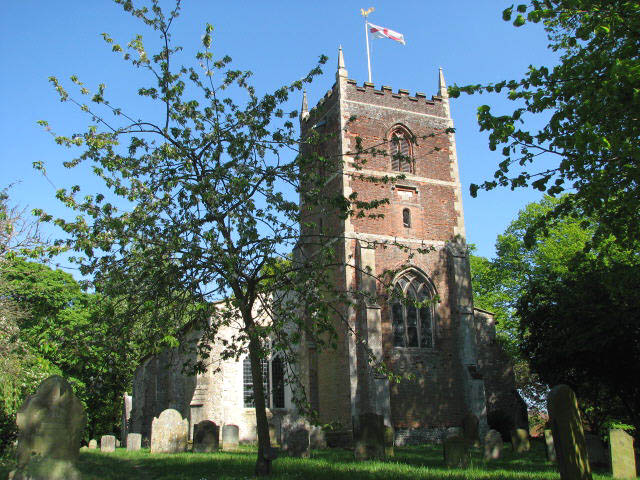
One of the notable features of Beeston is its historic church, St. Mary's. Dating back to the 13th century, this beautiful medieval church is a prominent landmark in the village and attracts visitors from near and far. Its impressive architecture and stained glass windows make it a must-visit for history enthusiasts and architecture lovers.
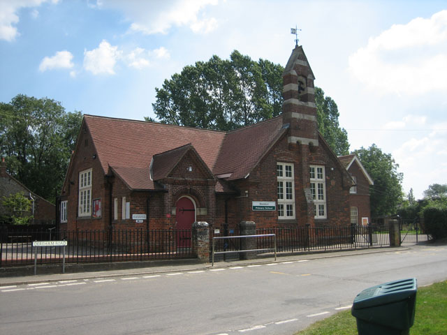
In addition to its natural beauty and historical significance, Beeston offers a range of amenities for its residents. These include a village hall, a primary school, and a local pub, providing a sense of community and a hub for social gatherings.
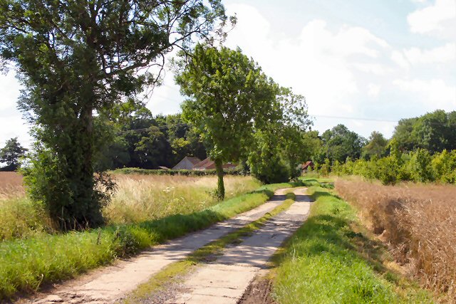
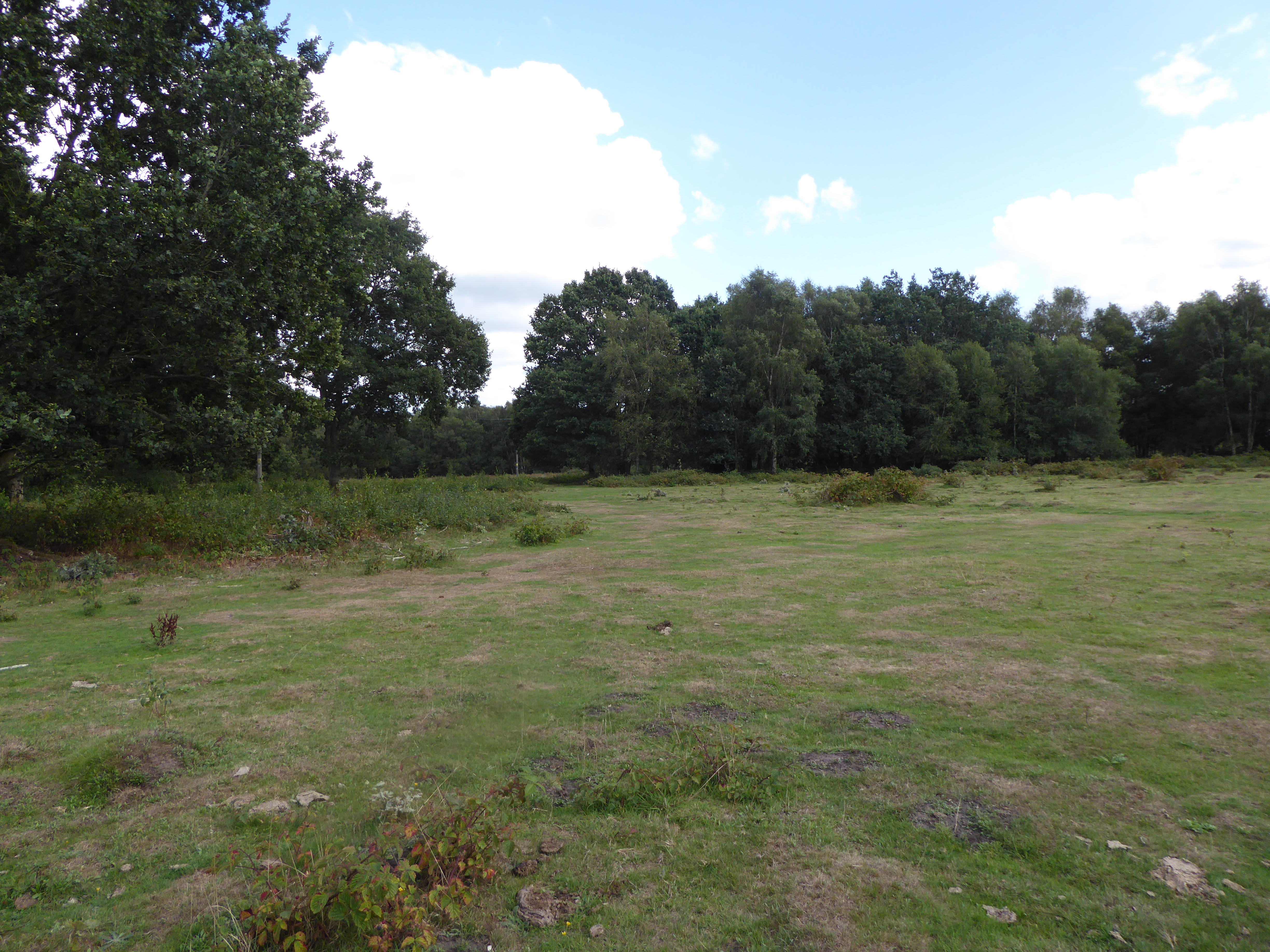
The surrounding area of Beeston offers plenty of opportunities for outdoor activities, such as walking, cycling, and birdwatching. The nearby Beeston Hills and Woods provide scenic trails and stunning views of the surrounding countryside.
Overall, Beeston is a charming village that offers a peaceful and idyllic setting, making it an attractive place to live or visit for those looking to experience the beauty of the Norfolk countryside.
If you have any feedback on the listing, please let us know in the comments section below.
Beeston Images
Images are sourced within 2km of 52.705132/0.81479747 or Grid Reference TF9015. Thanks to Geograph Open Source API. All images are credited.


Beeston is located at Grid Ref: TF9015 (Lat: 52.705132, Lng: 0.81479747)
Administrative County: Norfolk
District: Breckland
Police Authority: Norfolk
What 3 Words
///documents.nosedive.scout. Near Necton, Norfolk
Nearby Locations
Related Wikis
Beeston, Norfolk
Beeston is a village in the county of Norfolk, England, in the civil parish of Beeston with Bittering , west of East Dereham and south of Fakenham. It...
Beeston with Bittering
Beeston with Bittering is a civil parish in the Breckland district of Norfolk, England. According to the 2001 census it had a population of 505, increasing...
Kempstone
Kempstone is a village situated in the Breckland District of Norfolk and covers an area of 331 hectares (1.3 square miles) with an estimated population...
Litcham Common
Litcham Common is a 24.9-hectare (62-acre) Local Nature Reserve in Norfolk. It is owned by Neil Foster, Lexham Estate, and managed by Norfolk County...

Litcham School
Litcham School is a mixed all-through school located in the village of Litcham in the English county of Norfolk. It has around 640 pupils aged 4–16 (Years...
Great Fransham
Great Fransham is a village and former civil parish in the Breckland district, in the county of Norfolk, England, roughly about an equal distance between...

Fransham railway station
Fransham railway station is a former station in Great Fransham, Norfolk. It was opened as part of the Lynn and Dereham Railway, becoming part of the East...
Litcham
Litcham is a village and civil parish in the English county of Norfolk. It is situated some 10 km (6.2 mi) north-east of the town of Swaffham and 40 km...
Nearby Amenities
Located within 500m of 52.705132,0.81479747Have you been to Beeston?
Leave your review of Beeston below (or comments, questions and feedback).