Primrose Hill
Settlement in Yorkshire
England
Primrose Hill

Primrose Hill is a charming village located in Yorkshire, England. Nestled amidst the picturesque landscapes of the Yorkshire Dales, this idyllic place is renowned for its natural beauty and tranquil atmosphere. Situated just a few miles away from the market town of Skipton, Primrose Hill offers a serene escape from the hustle and bustle of city life.
The village is characterized by its quaint stone houses, which give it a timeless charm. Dotted with vibrant floral displays, Primrose Hill lives up to its name, emanating a sense of beauty and tranquility. The surrounding countryside is a haven for nature enthusiasts, with rolling hills, meandering streams, and lush green fields providing the perfect backdrop for outdoor activities such as hiking, cycling, and picnicking.
The village is also home to a close-knit community that takes pride in preserving its heritage. The local pub, The Primrose Arms, serves as the heart of the village, offering a warm welcome and traditional Yorkshire hospitality. The village church, dedicated to St. Mary, stands as a testament to the area's historical significance, with its stunning architecture and rich history attracting visitors from near and far.
Primrose Hill's proximity to the Yorkshire Dales National Park makes it an ideal base for exploring the region's natural wonders. From Malham Cove's limestone cliffs to the breathtaking vistas of the Three Peaks, there is no shortage of awe-inspiring sights to discover.
In conclusion, Primrose Hill is a charming village that epitomizes the beauty and tranquility of Yorkshire. With its picturesque landscapes, close-knit community, and proximity to the Yorkshire Dales, it is a destination that appeals to both nature lovers and those seeking a peaceful retreat.
If you have any feedback on the listing, please let us know in the comments section below.
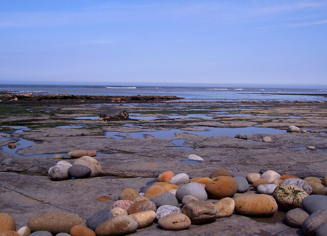
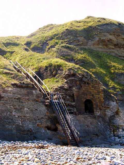
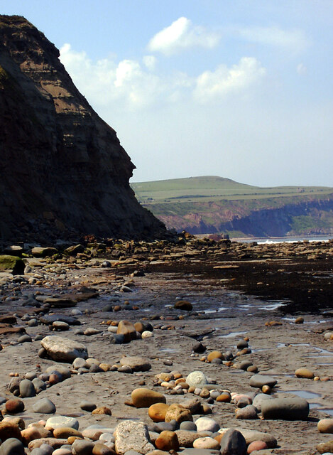
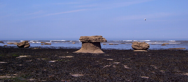
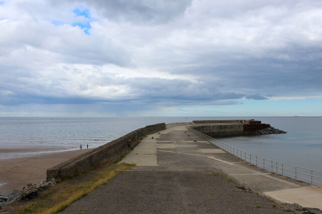
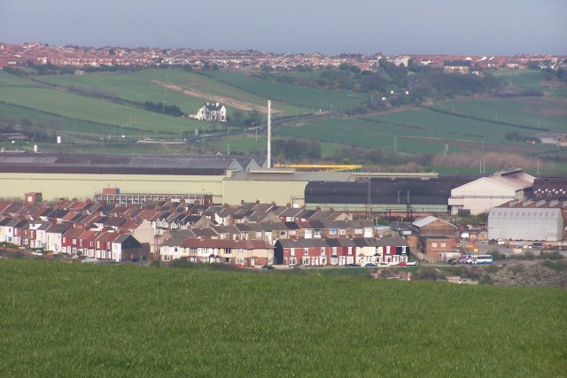
Primrose Hill Images
Images are sourced within 2km of 54.566831/-0.90033986 or Grid Reference NZ7119. Thanks to Geograph Open Source API. All images are credited.


Primrose Hill is located at Grid Ref: NZ7119 (Lat: 54.566831, Lng: -0.90033986)
Division: North Riding
Unitary Authority: Redcar and Cleveland
Police Authority: Cleveland
What 3 Words
///roadways.pushy.until. Near Skinningrove, North Yorkshire
Nearby Locations
Related Wikis
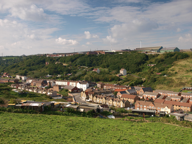
Skinningrove
Skinningrove is a village in the civil parish of Loftus, in the Redcar and Cleveland district, in the ceremonial county of North Yorkshire, England. Its...

Skinningrove Steelworks
Skinningrove steelworks is a steel mill in Skinningrove, North Yorkshire, England. The business was formed in 1874 as the Loftus Iron Company, after a...
Carlin How
Carlin How is a village in the borough of Redcar and Cleveland and the ceremonial county of North Yorkshire, England. == Notable people == Alfred Myers...
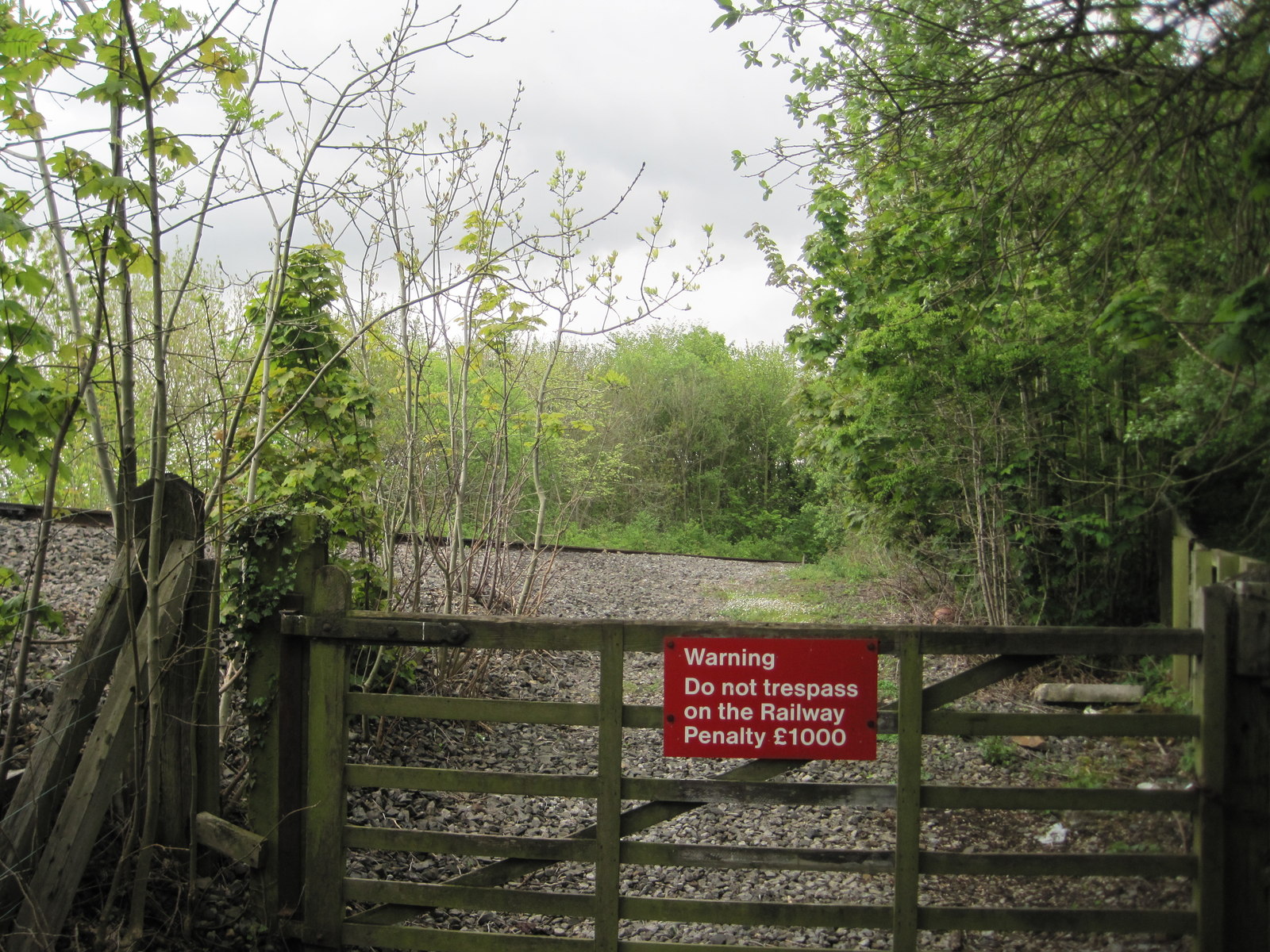
Skinningrove railway station
Skinningrove railway station was on the Whitby, Redcar and Middlesbrough Union Railway. It was opened on 1 April 1875, and served the villages of Skinningrove...
Nearby Amenities
Located within 500m of 54.566831,-0.90033986Have you been to Primrose Hill?
Leave your review of Primrose Hill below (or comments, questions and feedback).