Primrose Hill
Settlement in Yorkshire
England
Primrose Hill
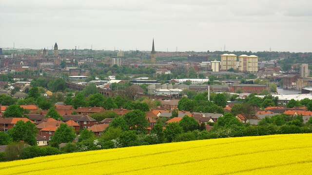
Primrose Hill, Yorkshire, is a charming village located in the county of North Yorkshire, England. Situated in the picturesque Yorkshire Dales National Park, Primrose Hill is surrounded by rolling hills, lush green meadows, and breathtaking natural beauty.
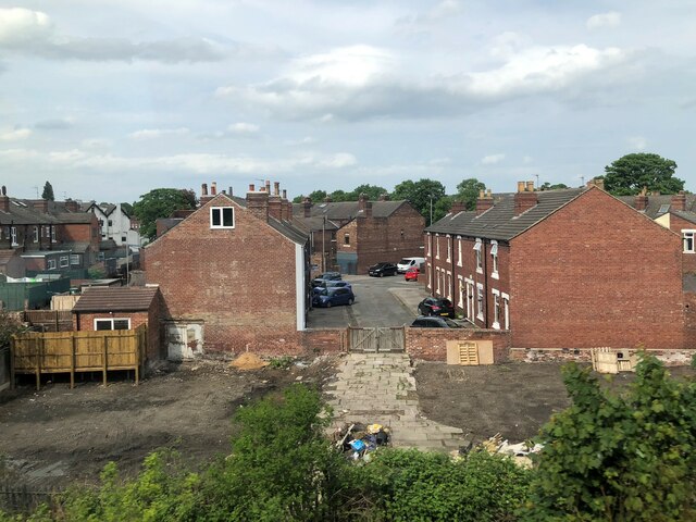
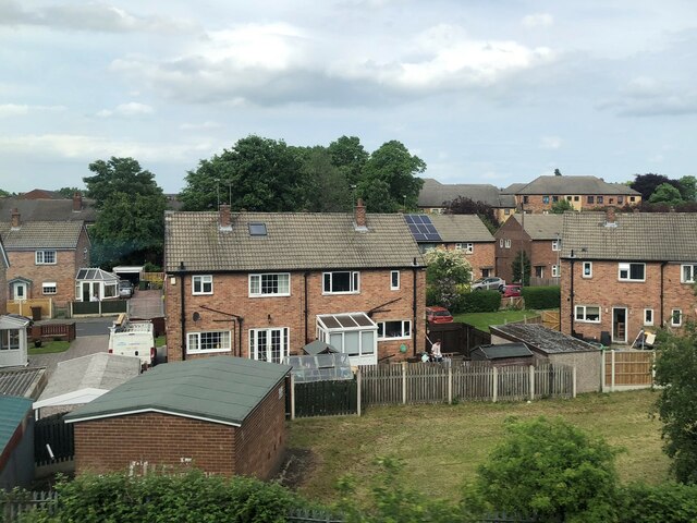
The village itself is small and idyllic, with traditional stone houses and a close-knit community. Its origins can be traced back to medieval times when it served as a farming settlement. Today, it retains its rural character and offers a peaceful retreat for residents and visitors alike.
One of the main attractions of Primrose Hill is its stunning countryside, which provides ample opportunities for outdoor activities such as hiking, cycling, and birdwatching. The village is a gateway to the Yorkshire Dales, offering access to famous landmarks like Malham Cove and Gordale Scar.
The community of Primrose Hill is proud of its local heritage and has preserved its historical landmarks. The 12th-century St. Mary's Church, with its beautiful stained glass windows and ancient architecture, is a notable sight. The village also hosts an annual summer fair, featuring traditional games, local produce, and live music, which brings the community together.
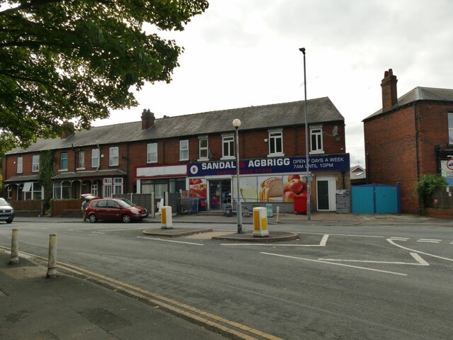
Although small, Primrose Hill offers all the essential amenities including a village shop, a pub, and a primary school. For more extensive facilities, the nearby town of Skipton is only a short drive away.
In conclusion, Primrose Hill, Yorkshire, is a picturesque village nestled in the stunning Yorkshire Dales National Park. With its natural beauty, rich history, and vibrant community spirit, it is a delightful place to visit or call home.
If you have any feedback on the listing, please let us know in the comments section below.
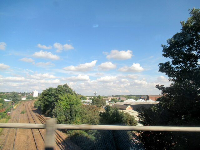
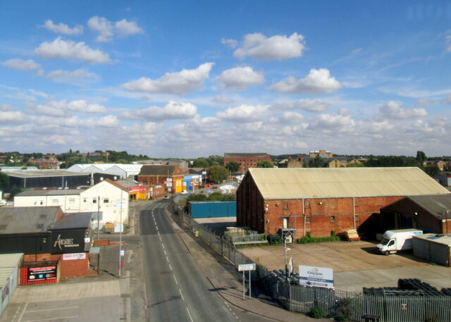
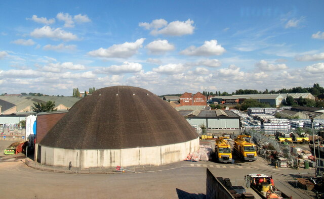
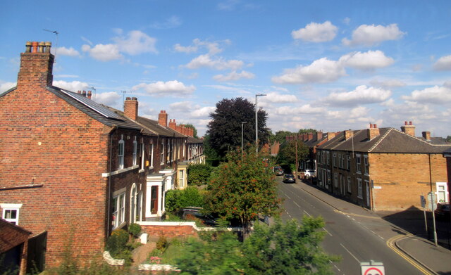
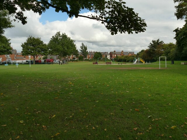
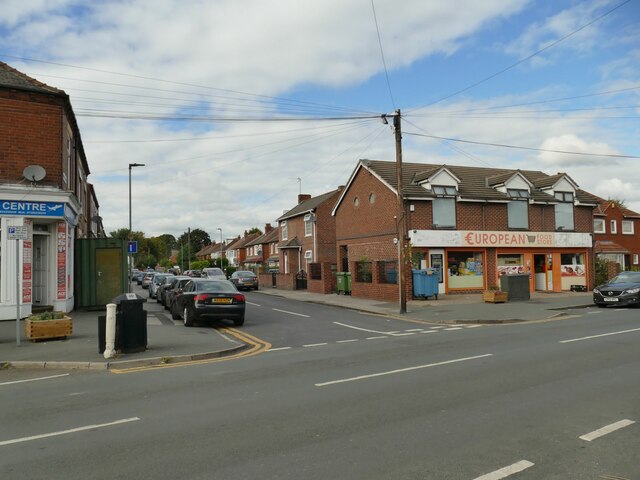
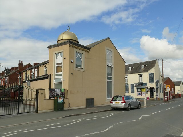
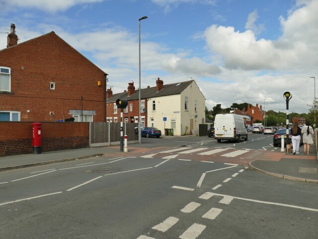
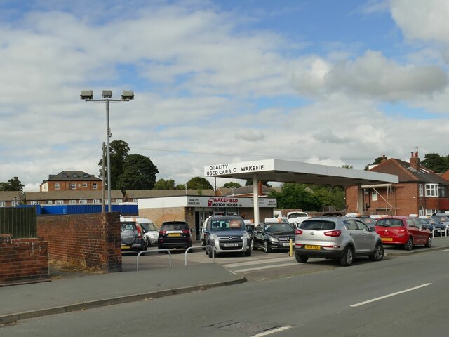
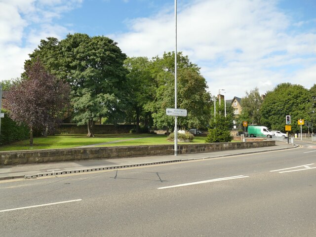
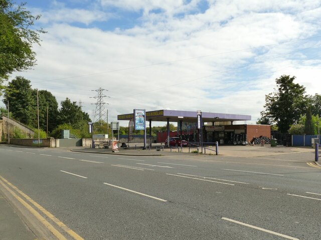
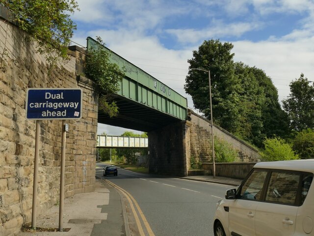
Primrose Hill Images
Images are sourced within 2km of 53.681058/-1.4907973 or Grid Reference SE3320. Thanks to Geograph Open Source API. All images are credited.

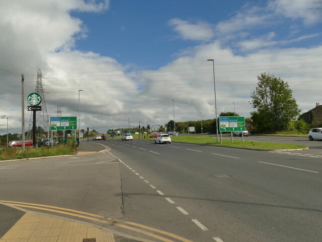
Primrose Hill is located at Grid Ref: SE3320 (Lat: 53.681058, Lng: -1.4907973)
Division: West Riding
Unitary Authority: Wakefield
Police Authority: West Yorkshire
What 3 Words
///nail.feeds.paints. Near Wakefield, West Yorkshire
Nearby Locations
Related Wikis

Battle of Wakefield
The Battle of Wakefield took place in Sandal Magna near Wakefield in northern England, on 30 December 1460. It was a major battle of the Wars of the Roses...

West Yorkshire History Centre
The West Yorkshire History Centre is an archive in Wakefield, in West Yorkshire, in England. The centre evolved from the West Riding Registry of Deeds...
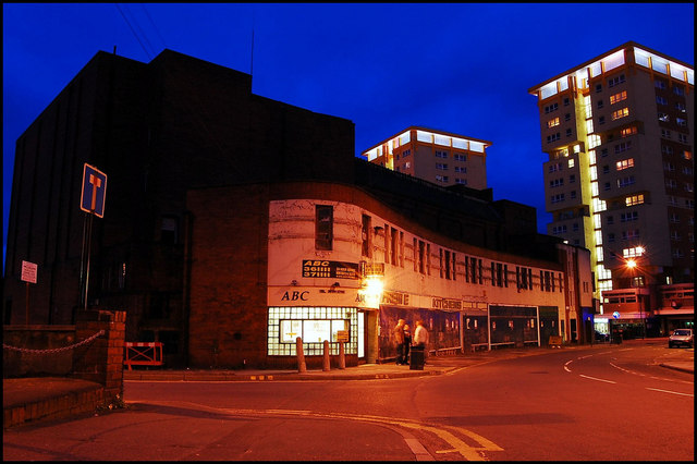
ABC Cinema, Wakefield
The ABC Cinema was a cinema in Wakefield, West Yorkshire that fell into derelition after its closure. Located in Kirkgate on the corner of Sun Lane, it...
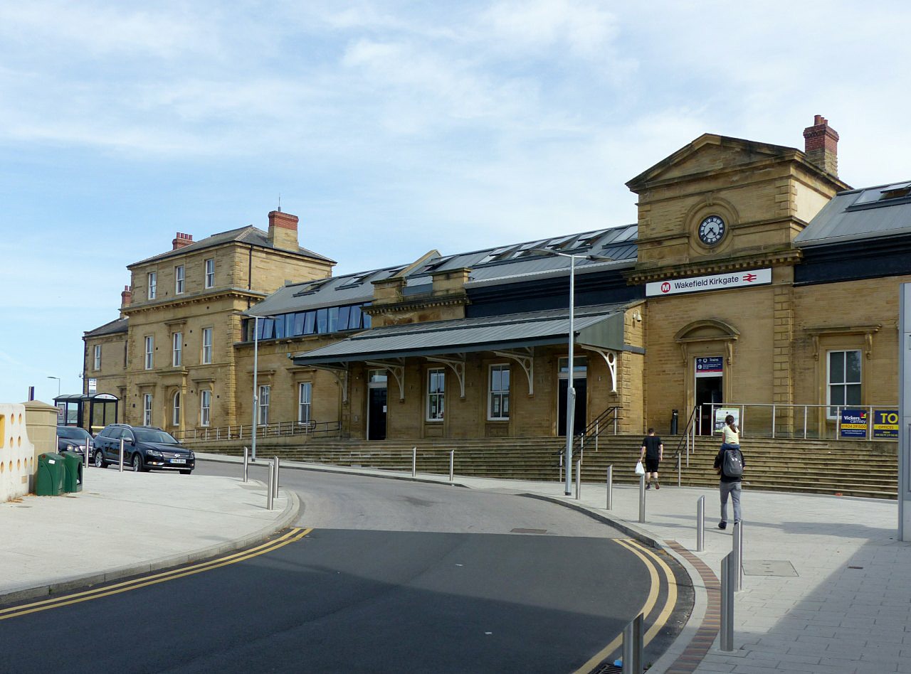
Wakefield Kirkgate railway station
Wakefield Kirkgate railway station is a railway station in Wakefield, West Yorkshire, England. Unlike the nearby Wakefield Westgate railway station, Kirkgate...
Nearby Amenities
Located within 500m of 53.681058,-1.4907973Have you been to Primrose Hill?
Leave your review of Primrose Hill below (or comments, questions and feedback).