Mary Tavy

Settlement in Devon West Devon

England

Mary Tavy

Old Boundary Marker Estate Boundary Marker set in a stone wall on the west side of Brentor Road. Mary Tavy parish. Inscribed B for the Buller landowners.

Milestone Society National ID: DV_MTAVY01em
Old Boundary Marker Credit: M Hatton

Mary Tavy is a charming village located in the county of Devon, England. Situated on the western edge of Dartmoor National Park, it is a picturesque settlement that offers a unique blend of natural beauty and historical significance.

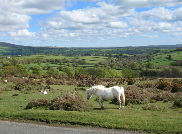
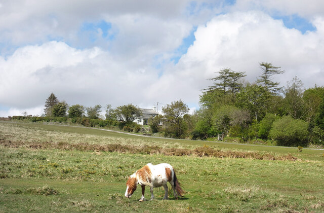
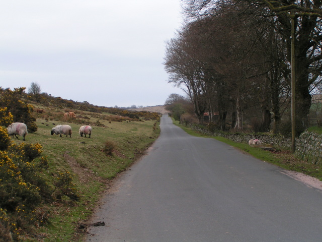
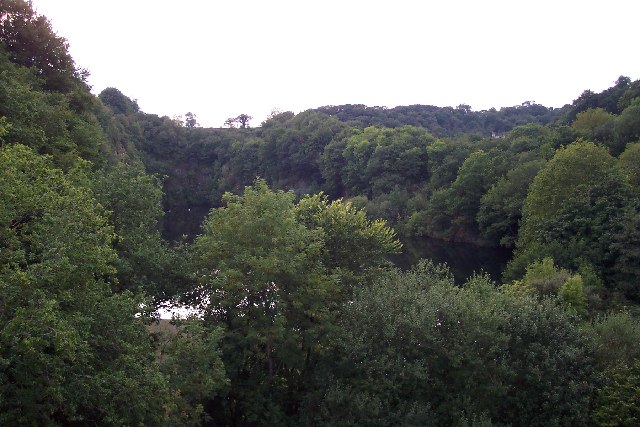
Surrounded by rolling hills and breathtaking landscapes, Mary Tavy is the epitome of rural tranquility. The village is characterized by its traditional stone buildings, which add to its timeless appeal. The River Tavy flows through the village, providing a serene backdrop and offering opportunities for leisurely walks along its banks.

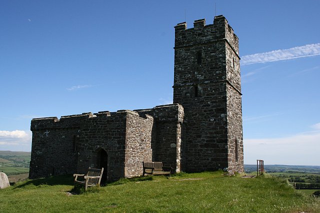
Steeped in history, Mary Tavy has a rich heritage that is evident in its architecture and landmarks. One notable feature is the Church of St Mary, a Grade I listed building dating back to the 13th century. This beautiful church is renowned for its ornate stained glass windows and medieval carvings.

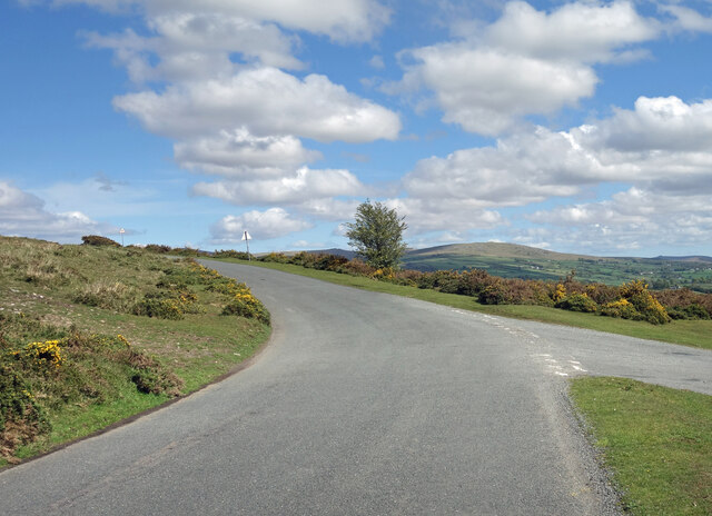
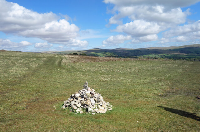
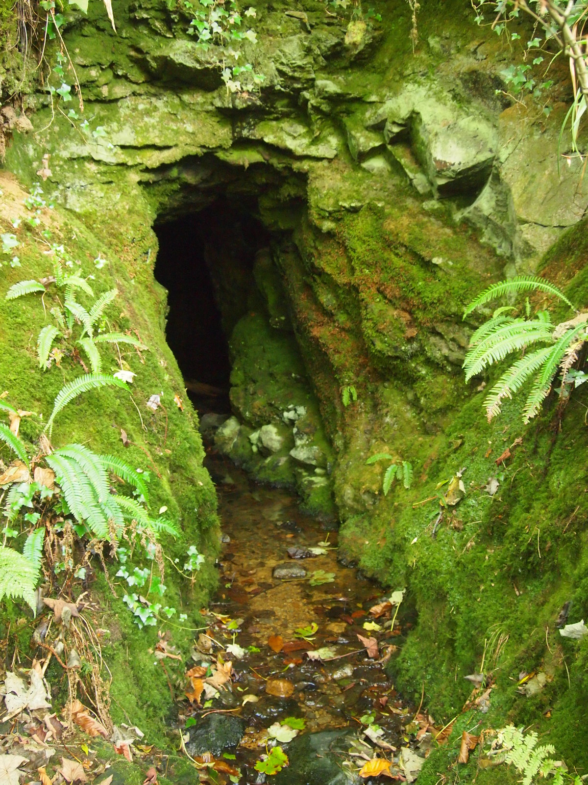
In addition to its historical charm, Mary Tavy caters to outdoor enthusiasts with its proximity to Dartmoor National Park. The park offers a plethora of activities, including hiking, cycling, and horse riding, allowing visitors to explore its vast moorland, ancient woodlands, and dramatic tors.

The village also boasts a strong sense of community, with a range of amenities that include a village hall, a post office, and a local pub. There are regular events and gatherings that bring the residents together, fostering a warm and welcoming atmosphere.

Mary Tavy is a hidden gem in the heart of Devon, offering a peaceful retreat for those seeking a taste of rural life and a gateway to the natural wonders of Dartmoor National Park.

If you have any feedback on the listing, please let us know in the comments section below.
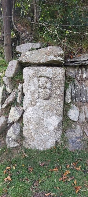
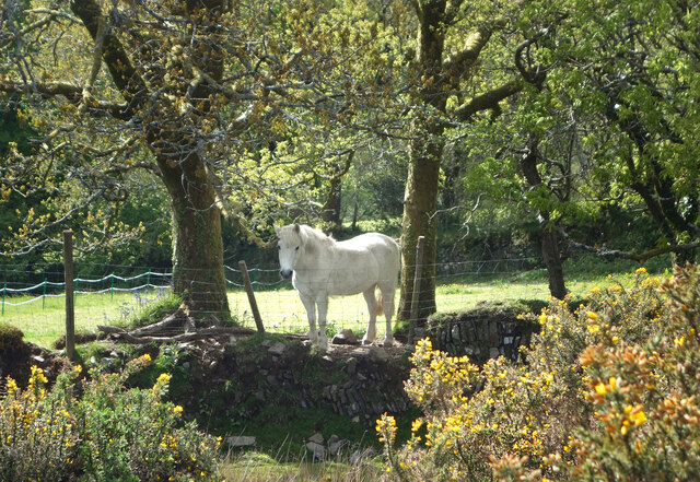
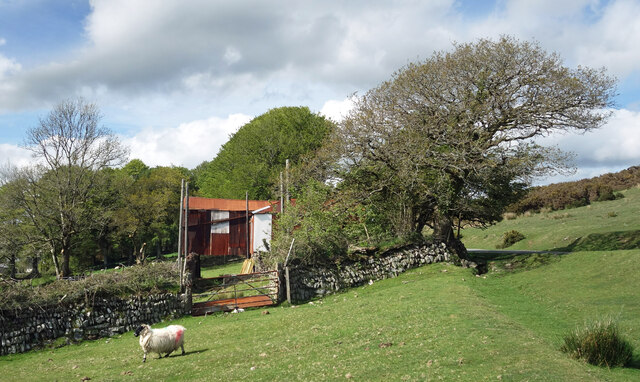
Mary Tavy Images

Images are sourced within 2km of 50.595172/-4.117214 or Grid Reference SX5079. Thanks to Geograph Open Source API. All images are credited.

Old Boundary Marker Estate Boundary Marker set in a stone wall on the west side of Brentor Road. Mary Tavy parish. Inscribed B for the Buller landowners.

Milestone Society National ID: DV_MTAVY01em
Old Boundary Marker
Estate Boundary Marker set in a stone wall on the west side of Brentor Road. Mary Tavy parish. Inscribed B for the Buller landowners. Milestone Society National ID: DV_MTAVY01em
White Horse on a Wall We passed several other white horses just like this on the edge of the moor a short way back along the road.
This one is in a field but he's looking over the fence to see who's about.
White Horse on a Wall
We passed several other white horses just like this on the edge of the moor a short way back along the road. This one is in a field but he's looking over the fence to see who's about.
Bend in the Road This is on the edge of Dartmoor where open moorland gives way to enclosed farm fields, a landscape which can be seen continuing into the distance.
Bend in the Road
This is on the edge of Dartmoor where open moorland gives way to enclosed farm fields, a landscape which can be seen continuing into the distance.
A sheep and a shed This wall is the boundary of the Dartmoor open access land.
To the right is the moor, to the left is enclosed fields.
The shed is a rusty looking corrugated iron structure raised up like a bridge over the entrance to the field.
No idea what it's for. Sheep shearing?
A sheep and a shed
This wall is the boundary of the Dartmoor open access land. To the right is the moor, to the left is enclosed fields. The shed is a rusty looking corrugated iron structure raised up like a bridge over the entrance to the field. No idea what it's for. Sheep shearing?
Cairn on the West Devon Way A small pile of stones at a meeting of trackways.
Cairn on the West Devon Way
A small pile of stones at a meeting of trackways.
White Horse by the Road Quite a few horses and sheep grazing along here on the edge of Mary Tavy village.
White Horse by the Road
Quite a few horses and sheep grazing along here on the edge of Mary Tavy village.
Pony at Higher Spring Another picture of a horse. There are quite a few around here today.
Pony at Higher Spring
Another picture of a horse. There are quite a few around here today.
Old Milestone by the A386, south of Mary Tavy Carved stone post by the A386, in parish of MARY TAVY (WEST DEVON District), half mile South of Mary Tavy, high on grass verge, above road, on West side of road. Large Tavistock tombstone, erected by the Tavistock turnpike trust in the 18th century.

Inscription reads:-
From
Tavistock
3 - Miles
Oakhampton
12
Truro 53
Carved benchmark on mid lower face.

Grade II listed.
List Entry Number: 1263569 <span class="nowrap"><a title="https://historicengland.org.uk/listing/the-list/list-entry/1263569" rel="nofollow ugc noopener" href="https://historicengland.org.uk/listing/the-list/list-entry/1263569">Link</a><img style="margin-left:2px;" alt="External link" title="External link - shift click to open in new window" src="https://s1.geograph.org.uk/img/external.png" width="10" height="10"/></span>

Milestone Society National ID: DV_TVOK03
Old Milestone by the A386, south of Mary Tavy
Carved stone post by the A386, in parish of MARY TAVY (WEST DEVON District), half mile South of Mary Tavy, high on grass verge, above road, on West side of road. Large Tavistock tombstone, erected by the Tavistock turnpike trust in the 18th century. Inscription reads:- From Tavistock 3 - Miles Oakhampton 12 Truro 53 Carved benchmark on mid lower face. Grade II listed. List Entry Number: 1263569 LinkExternal link Milestone Society National ID: DV_TVOK03
Old Milestone by the A386, Blackdown, Mary Tavy Carved stone post by the A386, in parish of Mary Tavy (West Devon District), by Royal Standard PH, against wall, on West side of road. Tavistock gable tombstone, erected by the Tavistock turnpike trust in the 19th century.

Inscription reads:-
: (OKEHAMPTON / 12) / MILES : : TAVI / STOCK / 4 / MILES :

Devon & Dartmoor HER.
HER Number: MDV71996 <span class="nowrap"><a title="https://www.heritagegateway.org.uk/Gateway/Results_Single.aspx?uid=MDV71996&resourceID=104" rel="nofollow ugc noopener" href="https://www.heritagegateway.org.uk/Gateway/Results_Single.aspx?uid=MDV71996&resourceID=104">Link</a><img style="margin-left:2px;" alt="External link" title="External link - shift click to open in new window" src="https://s1.geograph.org.uk/img/external.png" width="10" height="10"/></span>

Milestone Society National ID: DV_TVOK04
Old Milestone by the A386, Blackdown, Mary Tavy
Carved stone post by the A386, in parish of Mary Tavy (West Devon District), by Royal Standard PH, against wall, on West side of road. Tavistock gable tombstone, erected by the Tavistock turnpike trust in the 19th century. Inscription reads:- : (OKEHAMPTON / 12) / MILES : : TAVI / STOCK / 4 / MILES : Devon & Dartmoor HER. HER Number: MDV71996 LinkExternal link Milestone Society National ID: DV_TVOK04
On the edge of the moor, south of North Brentor
Gorse bushes in flower on the moor
Wortha Mill Bridge There are two spans to this bridge this one spans the old dismantled Tavistock to Okehampton Railway the other spans the River Burn. The small arch to the right spans a small stream that joins the river downstream from here.
Wortha Mill Bridge
There are two spans to this bridge this one spans the old dismantled Tavistock to Okehampton Railway the other spans the River Burn. The small arch to the right spans a small stream that joins the river downstream from here.
Small Footbridge Crosses this stream before it joins the River Burn just below Wortha Mill Bridge.
Small Footbridge
Crosses this stream before it joins the River Burn just below Wortha Mill Bridge.
Horndon : Small Lane A small lane heading through the countryside.
Horndon : Small Lane
A small lane heading through the countryside.
Road junction, Horndon
On the A386 North of Mary Tavy.
On the A386
North of Mary Tavy.
Inclement weather over Dartmoor The view from the A386 north of Mary Tavy.
Inclement weather over Dartmoor
The view from the A386 north of Mary Tavy.
The summit of Gibbet Hill
Show me another place!

Mary Tavy is located at Grid Ref: SX5079 (Lat: 50.595172, Lng: -4.117214)

Administrative County: Devon

District: West Devon

Police Authority: Devon and Cornwall

What 3 Words

///thrusters.cello.fees. Near Tavistock, Devon

Nearby Locations

Mary Tavy

Related Wikis

Mary Tavy

Mary Tavy () is a village with a population of around 600, located four miles north of Tavistock in Devon in south-west England; it is named after the...

Cudlipptown

Cudlipptown or Cudliptown is a small village located near the western edge of Dartmoor National Park, northeast of Tavistock, and approximately one mile...

Devon United Mine

Devon United Mine (grid reference SX521795) is a 1.0 hectare geological Site of Special Scientific Interest in Devon, England, notified in 1987. ��2�...

Collybrooke

The Collybrooke or Colly Brook is a brook on Dartmoor in Devon, England. It is a tributary of the River Tavy. == Bibliography == The Painted Stream, Robin...

Peter Tavy

Peter Tavy () is a village 3 miles (4.8 km) along the A386, North-East of Tavistock, Devon, England; it is named after the River Tavy. St Peter's Parish...

Brentor railway station

Brentor railway station used to serve the village of Brentor in Devon, England. It was on the Plymouth, Devonport and South Western Junction Railway's...

Brentor

Brentor is a village in West Devon, England. Its population in 2001 was 423. The village is dominated by the hill of Brent Tor, topped by the village's...

Wilminstone

Wilminstone is a village in the civil parish of Mary Tavy in the West Devon district of Devon, England. Its nearest town is Tavistock, which lies approximately...

Nearby Amenities

Located within 500m of 50.595172,-4.117214
Bus Stop
Lat/Long: 50.5953854/-4.1172371
Bus Stop
Naptan AtcoCode: 1100DEA11549
Naptan NaptanCode: dvnajgmt
Lat/Long: 50.5966073/-4.1171372
Historic: memorial
Lat/Long: 50.5968628/-4.1171137
Post Box
Brand: Royal Mail
Brand Wikidata: Q638098
Brand Wikipedia: en:Royal Mail
Collection Times: Mo-Fr 15:45; Sa 12:00; Su off
Drive Through: no
Operator: Royal Mail
Operator Wikidata: Q638098
Post Box Design: type_b
Post Box Type: pillar
Ref: PL19 80
Royal Cypher: EIIR
Royal Cypher Wikidata: Q33102113
Source: survey;streetlevel imagery;aerial imagery
Lat/Long: 50.5945859/-4.117087
Mary Tavy
Place: village
Source: OS_OpenData_StreetView
Lat/Long: 50.596047/-4.1169274
Post Office
Mary Tavy Post Office & Stores
Addr City: Mary Tavy
Addr Housename: The Post Office
Addr Postcode: PL19 9PA
Brand: Post Office
Brand Wikidata: Q1783168
Fhrs Id: 808998
Source: OS_OpenData_StreetView
Website: https://www.postoffice.co.uk/branch-finder/3395391/mary-tavy
Lat/Long: 50.5946097/-4.1172045
Crossing: zebra
Lat/Long: 50.5968347/-4.1172285
Give Way
Direction: backward
Lat/Long: 50.5969612/-4.1171877
Stop
Lat/Long: 50.5969031/-4.1173262
Give Way
Direction: backward
Lat/Long: 50.5937019/-4.1165322
Give Way
Lat/Long: 50.5946466/-4.1169567
Give Way
Lat/Long: 50.5954189/-4.117221
Pub
The Royal Standard
Addr City: Mary Tavy
Addr Housename: The Royal Standard
Addr Postcode: PL19 9QB
Smoking: outside
Wikidata: Q80476940
Lat/Long: 50.5989537/-4.1174793
Power: pole
Lat/Long: 50.5949933/-4.1114509
Power: pole
Lat/Long: 50.5942271/-4.1106623
Generator Method: photovoltaic
Generator Output Electricity: yes
Generator Source: solar
Generator Type: solar_photovoltaic_panel
Location: roof
Power: generator
Lat/Long: 50.5977807/-4.1171289
Generator Method: photovoltaic
Generator Output Electricity: yes
Generator Source: solar
Generator Type: solar_photovoltaic_panel
Location: roof
Power: generator
Lat/Long: 50.5966728/-4.1186082
Generator Method: photovoltaic
Generator Output Electricity: yes
Generator Source: solar
Generator Type: solar_photovoltaic_panel
Location: roof
Power: generator
Lat/Long: 50.597107/-4.1204626
Generator Method: photovoltaic
Generator Output Electricity: yes
Generator Source: solar
Generator Type: solar_photovoltaic_panel
Location: roof
Power: generator
Lat/Long: 50.5973326/-4.1199047
Generator Method: photovoltaic
Generator Output Electricity: yes
Generator Source: solar
Generator Type: solar_photovoltaic_panel
Location: roof
Power: generator
Lat/Long: 50.5965761/-4.1179148
Generator Method: photovoltaic
Generator Output Electricity: yes
Generator Source: solar
Generator Type: solar_photovoltaic_panel
Location: roof
Power: generator
Lat/Long: 50.5966317/-4.1176401
Generator Method: photovoltaic
Generator Output Electricity: yes
Generator Source: solar
Generator Type: solar_photovoltaic_panel
Location: roof
Power: generator
Lat/Long: 50.5934491/-4.1194816
Generator Method: photovoltaic
Generator Output Electricity: yes
Generator Source: solar
Generator Type: solar_photovoltaic_panel
Location: roof
Power: generator
Lat/Long: 50.592159/-4.1197021
Generator Method: photovoltaic
Generator Output Electricity: yes
Generator Source: solar
Generator Type: solar_photovoltaic_panel
Location: roof
Power: generator
Lat/Long: 50.5929849/-4.118298
Generator Method: photovoltaic
Generator Output Electricity: yes
Generator Source: solar
Generator Type: solar_photovoltaic_panel
Location: roof
Power: generator
Lat/Long: 50.5954933/-4.1134298
Generator Method: photovoltaic
Generator Output Electricity: yes
Generator Source: solar
Generator Type: solar_photovoltaic_panel
Location: roof
Power: generator
Lat/Long: 50.5963616/-4.1139703
Generator Method: photovoltaic
Generator Output Electricity: yes
Generator Source: solar
Generator Type: solar_photovoltaic_panel
Location: roof
Power: generator
Lat/Long: 50.5962952/-4.1140212
Barrier: yes
Lat/Long: 50.5988388/-4.1179436
Defibrillator
Defibrillator Location: On outside wall of Post Office on main road
Emergency: defibrillator
Indoor: no
Mapillary: 284512840388819
Survey Date: 2023-03-21
Lat/Long: 50.5946452/-4.117105
Generator Method: photovoltaic
Generator Output Electricity: yes
Generator Source: solar
Generator Type: solar_photovoltaic_panel
Power: generator
Lat/Long: 50.5924921/-4.1212825
Generator Method: photovoltaic
Generator Output Electricity: yes
Generator Source: solar
Generator Type: solar_photovoltaic_panel
Power: generator
Lat/Long: 50.5933844/-4.1195382
Generator Method: photovoltaic
Generator Output Electricity: yes
Generator Source: solar
Generator Type: solar_photovoltaic_panel
Power: generator
Lat/Long: 50.5937312/-4.1183206
Generator Method: photovoltaic
Generator Output Electricity: yes
Generator Source: solar
Generator Type: solar_photovoltaic_panel
Power: generator
Lat/Long: 50.5981658/-4.1163368
Waste Basket
Waste: dog_excrement
Lat/Long: 50.5945438/-4.1167963
Waste Basket
Waste: dog_excrement
Lat/Long: 50.5945574/-4.1153358
Leisure: swimming_pool
Lat/Long: 50.5971708/-4.1180428
Leisure: swimming_pool
Lat/Long: 50.5941636/-4.1173259
The data included in this document is from www.openstreetmap.org. The data is made available under ODbL.

Have you been to Mary Tavy?

Leave your review of Mary Tavy below (or comments, questions and feedback).