Outwood

Settlement in Worcestershire Wyre Forest

England

Outwood

Woodcote Farm Situated beside the Kidderminster Road, this old farm now does B&B and has holiday cottages.  The farmhouse actually sits along the northern edge of the square.
Woodcote Farm Credit: David Stowell

Outwood is a small village located in the county of Worcestershire, England. Situated approximately 7 miles southeast of the city of Worcester, it falls within the administrative district of Wychavon. The village is nestled amidst picturesque countryside, offering residents a tranquil and idyllic setting.

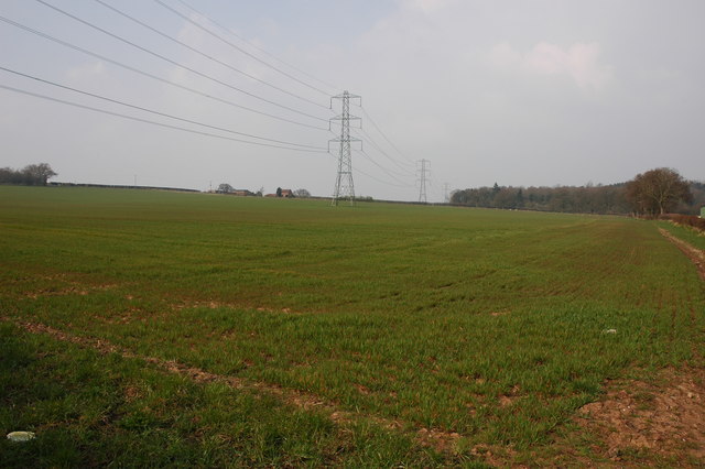
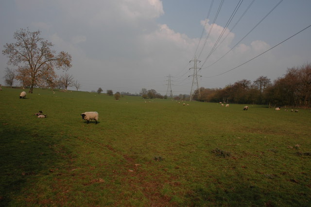
Historically, Outwood was primarily an agricultural community, with farming playing a significant role in its economy. However, in recent years, the village has seen some diversification, with a few small businesses and services catering to the local population.

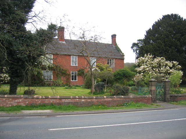
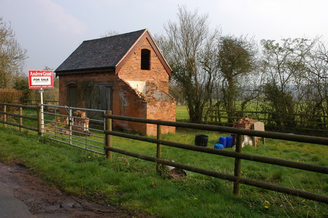
The village itself is characterized by its charming cottages and traditional architecture, giving it a quintessentially English feel. The centerpiece of Outwood is its historic St. Mary's Church, which dates back to the 12th century and is known for its beautiful stained glass windows.

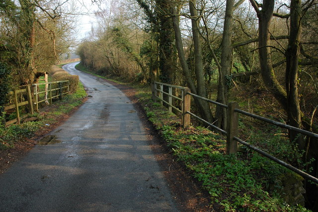
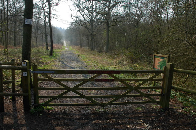
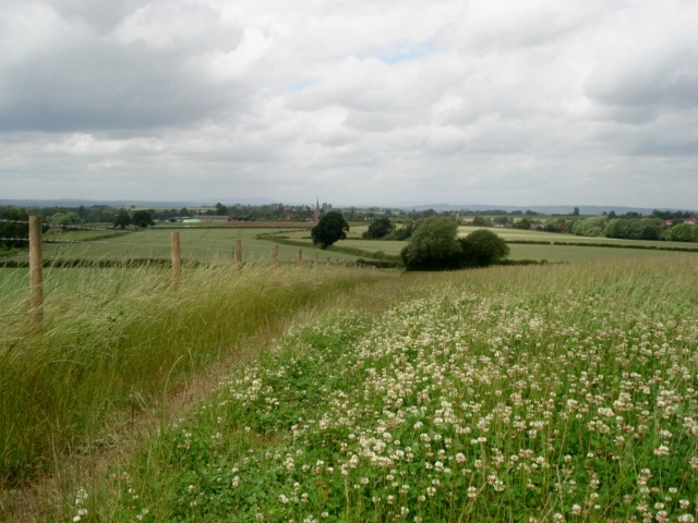
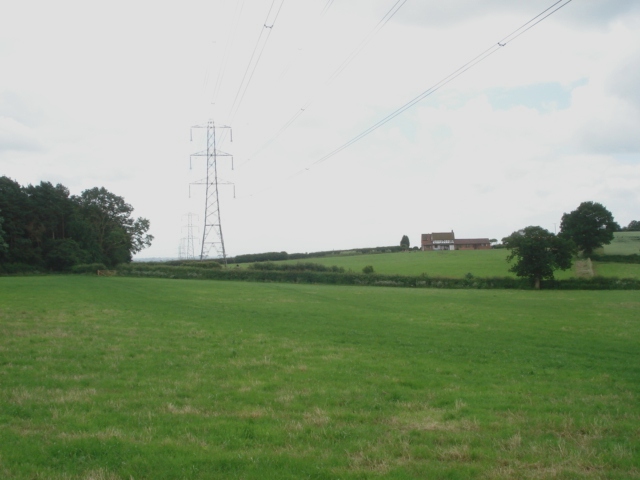
Outwood is surrounded by stunning natural landscapes, making it an ideal location for outdoor enthusiasts. The nearby Malvern Hills, known for their breathtaking views and scenic hiking trails, attract visitors from far and wide. Additionally, the River Severn flows just a few miles to the west of the village, offering opportunities for boating and fishing.

While Outwood is predominantly a residential area, it benefits from its proximity to Worcester, which provides a range of amenities, including shopping centers, schools, and healthcare facilities. The village is well-connected with good transportation links, allowing residents to easily access surrounding areas.

In summary, Outwood is a charming and peaceful village in Worcestershire, offering residents a rural lifestyle with easy access to nearby amenities and natural beauty.

If you have any feedback on the listing, please let us know in the comments section below.
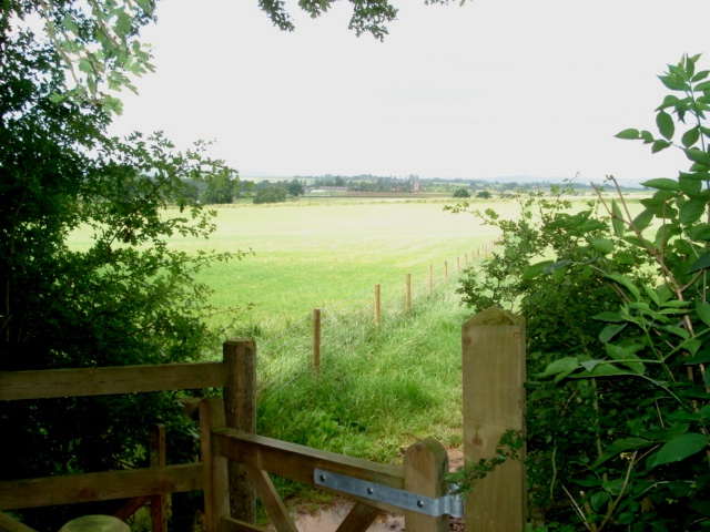
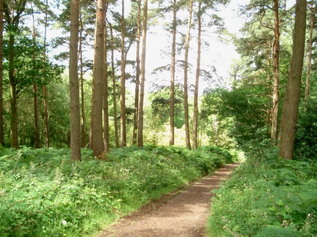
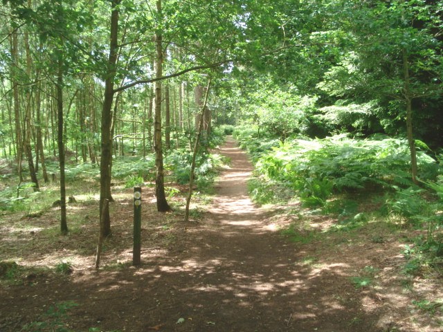
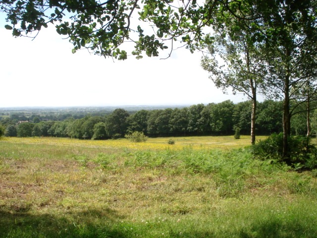
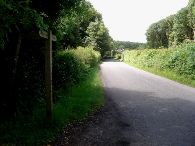
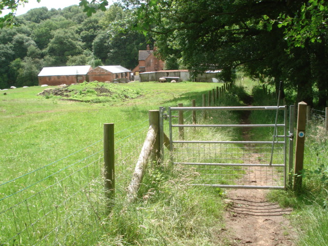
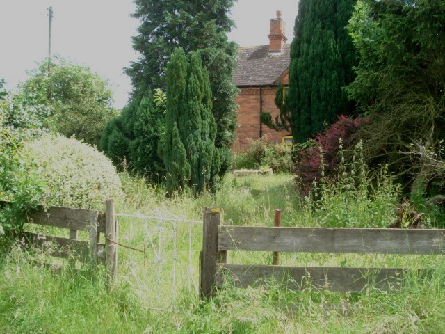
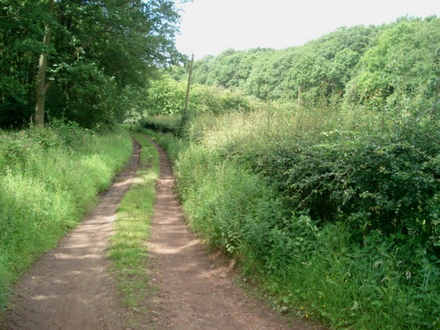
Outwood Images

Images are sourced within 2km of 52.350898/-2.1405571 or Grid Reference SO9072. Thanks to Geograph Open Source API. All images are credited.

Woodcote Farm Situated beside the Kidderminster Road, this old farm now does B&B and has holiday cottages.  The farmhouse actually sits along the northern edge of the square.
Woodcote Farm
Situated beside the Kidderminster Road, this old farm now does B&B and has holiday cottages. The farmhouse actually sits along the northern edge of the square.
Bridge over Hockley Brook
Chaddesley Wood Chaddesley Wood is a National Nature Reserve.
Chaddesley Wood
Chaddesley Wood is a National Nature Reserve.
Farm buildings near Woodcote Green
Pylons and farmland near Woodcote Green
Field to the south of The Durrance
'Property with potential....' at Tanwood
Clover field near Chaddesley Wood The path from the wood leads to Chaddesley Corbett village in the distance. The church spire is just visible.
Clover field near Chaddesley Wood
The path from the wood leads to Chaddesley Corbett village in the distance. The church spire is just visible.
Chaddesley Wood Farm With Chaddesley Wood to the left.
Chaddesley Wood Farm
With Chaddesley Wood to the left.
View from the edge of Chaddesley Wood
Chaddesley Wood This wood is managed by Natural England (ex English Nature) and it is a designated National Nature Reserve. It was once part of the Royal Hunting Forest of Feckenham and there are many interesting walks.
<span class="nowrap"><a title="http://worcestershire.whub.org.uk/cms/environment-and-planning/countryside/waymarked-walks/off-site-circular-trails/royal-hunters-walks.aspx" rel="nofollow ugc noopener" href="http://worcestershire.whub.org.uk/cms/environment-and-planning/countryside/waymarked-walks/off-site-circular-trails/royal-hunters-walks.aspx">Link</a><img style="margin-left:2px;" alt="External link" title="External link - shift click to open in new window" src="https://s1.geograph.org.uk/img/external.png" width="10" height="10"/></span>
Chaddesley Wood
This wood is managed by Natural England (ex English Nature) and it is a designated National Nature Reserve. It was once part of the Royal Hunting Forest of Feckenham and there are many interesting walks. LinkExternal link
Path junction in Chaddesley Wood
The edge of Chaddesley Wood View to the south west across grassland.
The edge of Chaddesley Wood
View to the south west across grassland.
View from Santery Hill Wood
Woodcote Lane at Nutnells Wood On the left is a Worcester County Council sign for a part of the Foresters Walk, designed by the council. These woods are the remnants of the 190 square mile Great Hunting Forest of Feckenham.
Woodcote Lane at Nutnells Wood
On the left is a Worcester County Council sign for a part of the Foresters Walk, designed by the council. These woods are the remnants of the 190 square mile Great Hunting Forest of Feckenham.
View towards Highwood Cottage A real old-fashioned farmhouse in a clearing in the woods.
View towards Highwood Cottage
A real old-fashioned farmhouse in a clearing in the woods.
Front garden of Highwood Cottage Sitting in a clearing in the wood and a long way from the nearest neighbour, this farm seems to have one field of sheep and a real tumble-down feel.
Front garden of Highwood Cottage
Sitting in a clearing in the wood and a long way from the nearest neighbour, this farm seems to have one field of sheep and a real tumble-down feel.
Lane to Highwood Cottage
Show me another place!

Outwood is located at Grid Ref: SO9072 (Lat: 52.350898, Lng: -2.1405571)

Administrative County: Worcestershire

District: Wyre Forest

Police Authority: West Merica

What 3 Words

///clumped.submerge.backers. Near Belbroughton, Worcestershire

Nearby Locations

Outwood Cutpursey Coppice

Related Wikis

Chaddesley Woods National Nature Reserve

Chaddesley Woods National Nature Reserve is situated near the village of Chaddesley Corbett, in Worcestershire, England. It is a reserve of the Worcestershire...

Chaddesley Corbett

Chaddesley Corbett is a village and civil parish in the Wyre Forest District of Worcestershire, England. The Anglican and secular versions of the parish...

Tanwood

Tanwood is a hamlet in the English county of Worcestershire. It lies about one mile northeast of the village of Chaddesley Corbett and forms part of the...

Rosedene

Rosedene is a cottage built as part of the Great Dodford Chartist settlement. It is the best preserved example of a Chartist cottage built by the National...

Nearby Amenities

Located within 500m of 52.350898,-2.1405571
Power: tower
Source: bing
Lat/Long: 52.346596/-2.1425507
Power: tower
Source: bing
Lat/Long: 52.3502226/-2.1425845
Power: tower
Source: bing
Lat/Long: 52.3531885/-2.1425748
The data included in this document is from www.openstreetmap.org. The data is made available under ODbL.

Have you been to Outwood?

Leave your review of Outwood below (or comments, questions and feedback).