Martin Hussingtree
Settlement in Worcestershire Wychavon
England
Martin Hussingtree

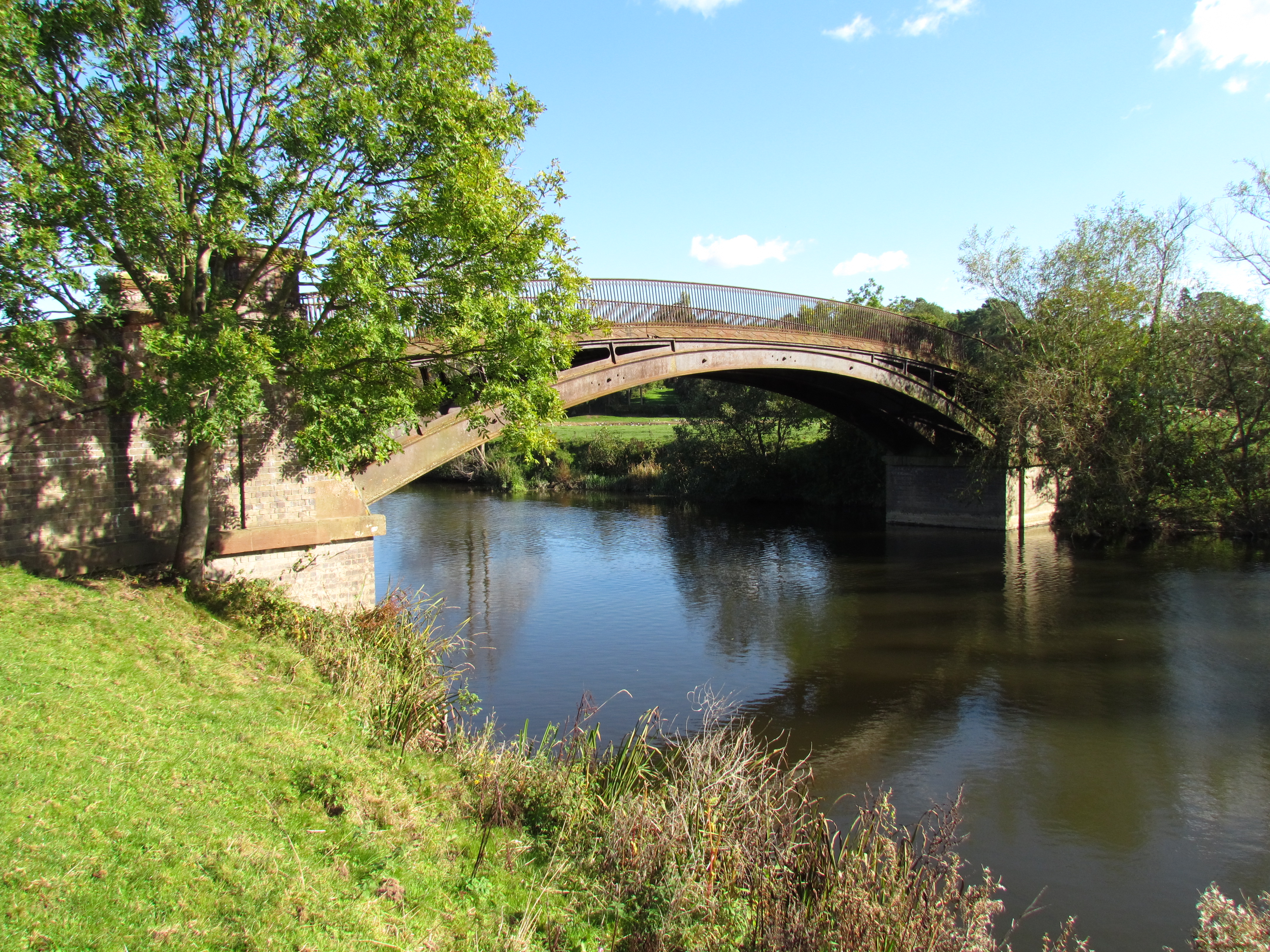
Martin Hussingtree is a small village located in the county of Worcestershire, England. Situated approximately 7 miles northeast of Worcester, it falls within the district of Wychavon. The village is nestled in a rural setting, surrounded by picturesque countryside and rolling hills.
With a population of around 500 residents, Martin Hussingtree exudes a quaint and tranquil atmosphere. The village is characterized by its charming historic buildings, including the beautiful St. Michael and All Angels Church, which dates back to the 12th century. The church's architecture showcases a mix of Norman and Gothic styles, and its tower provides panoramic views of the surrounding area.
Despite its small size, Martin Hussingtree boasts a strong sense of community. The village has a local pub, The Chequers Inn, which serves as a hub for social gatherings and events. Additionally, the village hall hosts various activities and clubs, fostering a close-knit community spirit.
The village benefits from its rural location, offering plenty of opportunities for outdoor activities. The nearby Worcestershire countryside provides scenic walking and cycling routes, allowing residents and visitors to explore the natural beauty of the area. Martin Hussingtree is also conveniently located near the M5 motorway, providing easy access to surrounding towns and cities.
In summary, Martin Hussingtree is a charming and peaceful village in Worcestershire, known for its historic architecture, close community ties, and beautiful rural surroundings.
If you have any feedback on the listing, please let us know in the comments section below.
Martin Hussingtree Images
Images are sourced within 2km of 52.237356/-2.17839 or Grid Reference SO8759. Thanks to Geograph Open Source API. All images are credited.


Martin Hussingtree is located at Grid Ref: SO8759 (Lat: 52.237356, Lng: -2.17839)
Administrative County: Worcestershire
District: Wychavon
Police Authority: West Mercia
What 3 Words
///cubs.goad.jets. Near Fernhill Heath, Worcestershire
Nearby Locations
Related Wikis
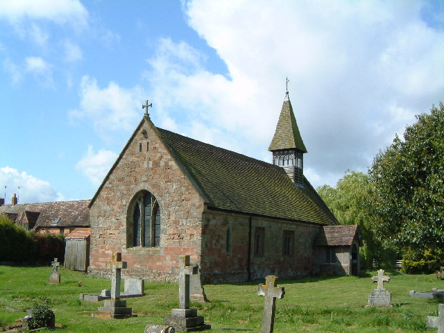
Church of St Michael and All Angels, Martin Hussingtree
The Church of St Michael and All Angels is a Grade I listed church in Martin Hussingtree, Worcestershire.The west wall is probably of 12th century origin...
Martin Hussingtree
Martin Hussingtree is a small village situated between Droitwich Spa and Worcester in the county of Worcestershire, England. It is north of another village...
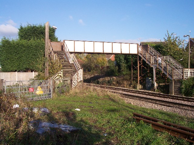
Fernhill Heath railway station
Fernhill Heath railway station was an intermediate railway station on the Oxford, Worcester and Wolverhampton Railway between Worcester (Tunnel Junction...
Hindlip
Hindlip or Hinlip is a village and civil parish 3 miles (4.8 km) north east of Worcester, in the Wychavon district, in the county of Worcestershire, England...
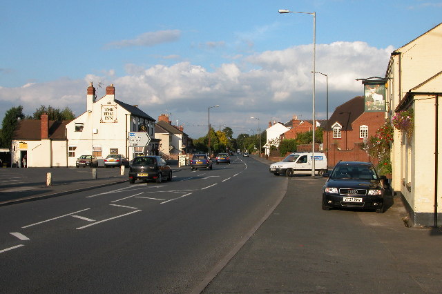
Fernhill Heath
Fernhill Heath is a village in Worcestershire, England. It is in the civil parish of North Claines in Wychavon district. Fernhill Heath is located on the...
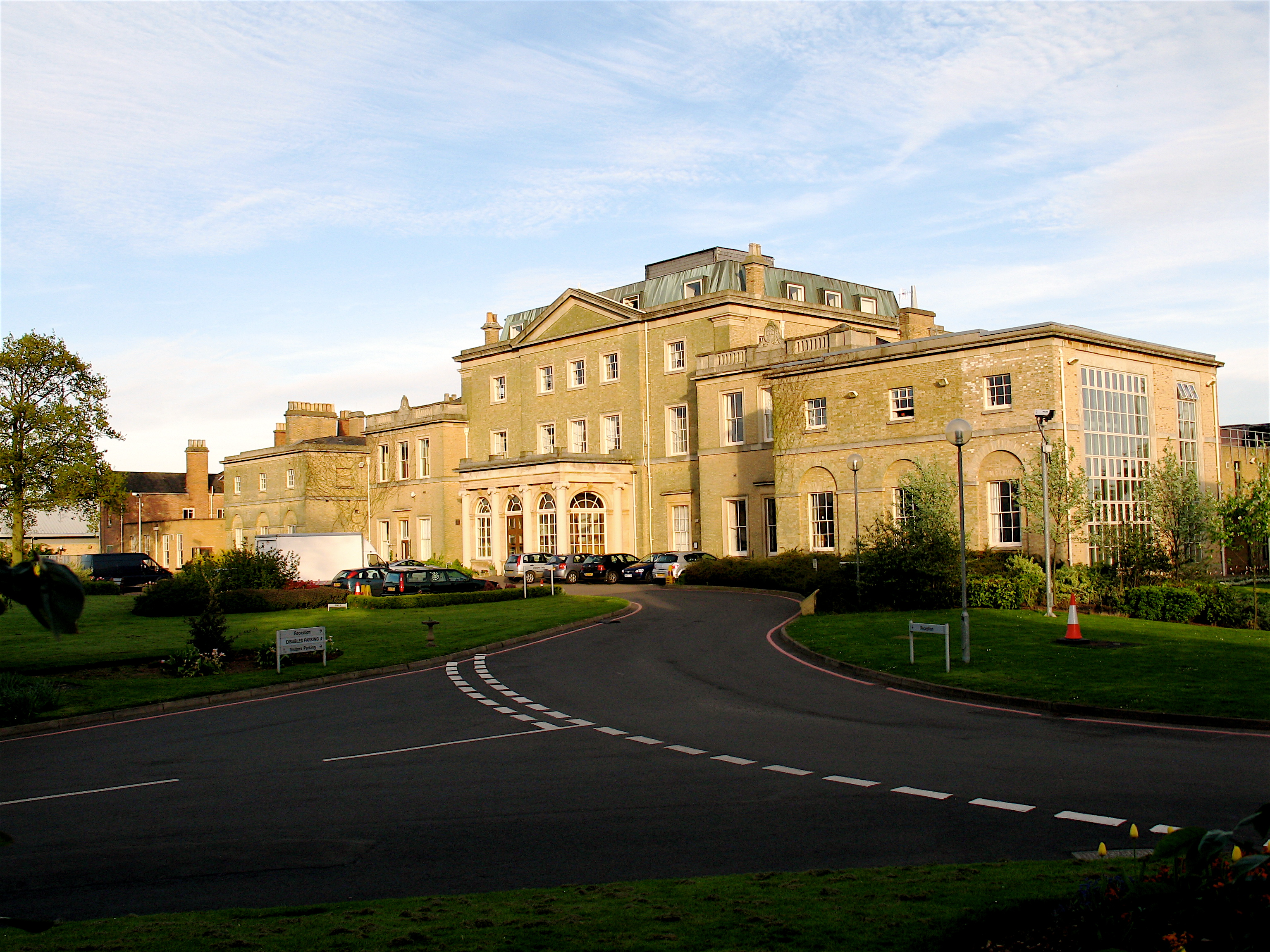
Hindlip Hall
Hindlip Hall is a stately home in Hindlip, Worcestershire, England. The first major hall was built before 1575, and it played a significant role in both...

Salwarpe
Salwarpe is a small village and civil parish in the Wychavon district of Worcestershire, England, less than two miles south west of Droitwich, but in open...
North Claines
North Claines is a civil parish in Wychavon district, Worcestershire, England, immediately north of the city of Worcester. It includes the settlements...
Nearby Amenities
Located within 500m of 52.237356,-2.17839Have you been to Martin Hussingtree?
Leave your review of Martin Hussingtree below (or comments, questions and feedback).