Old Lakenham
Settlement in Norfolk Norwich
England
Old Lakenham

Old Lakenham is a small village located in the county of Norfolk, England. Situated just south of Norwich, it is a picturesque and historic area, known for its charming rural character and natural beauty.
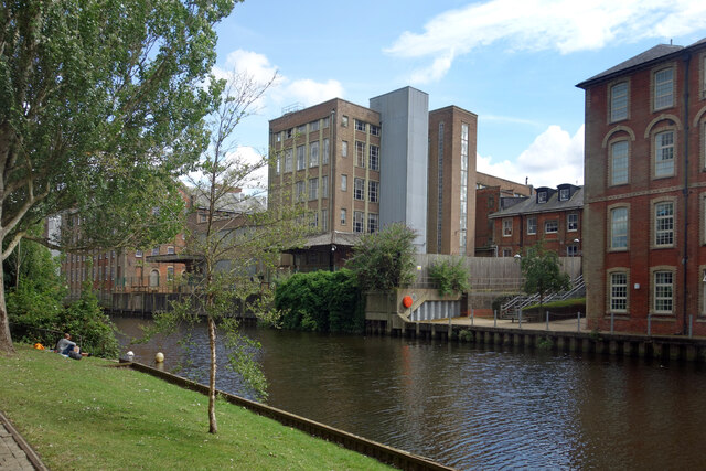
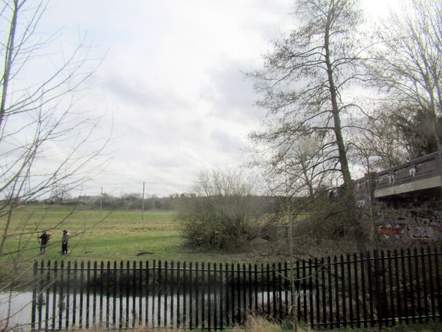
The village is nestled along the banks of the River Yare, which winds its way through the surrounding countryside. This proximity to the river has played a significant role in shaping the village's history, with evidence of human settlement dating back to prehistoric times.
Old Lakenham is home to a range of architectural styles, reflecting its rich heritage. The village church, St. John the Baptist, is a prominent feature, with origins dating back to the 11th century. Its medieval tower and intricate stonework make it a notable landmark.
The village also boasts a number of traditional thatched cottages, giving it a quintessentially English feel. These historic buildings have been well-preserved and form an integral part of the village's unique character.
Surrounded by lush green fields and meadows, Old Lakenham offers ample opportunities for outdoor activities. The nearby River Yare provides a popular spot for boating and fishing enthusiasts, while the surrounding countryside offers scenic walking and cycling trails.
Despite its rural setting, Old Lakenham benefits from good transport links, with easy access to the city of Norwich via road or public transport. This allows residents to enjoy the tranquility of village life while still being within reach of urban amenities.
Overall, Old Lakenham is a charming and idyllic village, steeped in history and natural beauty, making it a desirable place to live or visit for those seeking a peaceful and picturesque setting.
If you have any feedback on the listing, please let us know in the comments section below.
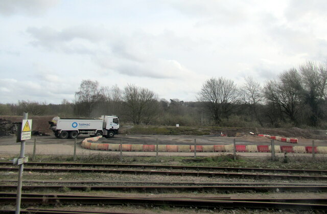
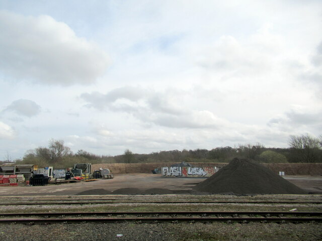
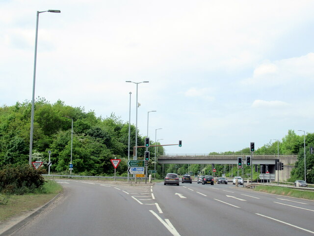
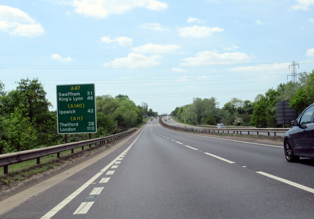
Old Lakenham Images
Images are sourced within 2km of 52.605489/1.2950969 or Grid Reference TG2305. Thanks to Geograph Open Source API. All images are credited.


Old Lakenham is located at Grid Ref: TG2305 (Lat: 52.605489, Lng: 1.2950969)
Administrative County: Norfolk
District: Norwich
Police Authority: Norfolk
What 3 Words
///waddled.recall.office. Near Norwich, Norfolk
Nearby Locations
Related Wikis

River Tas
The River Tas is a river which flows northwards through South Norfolk in England - towards Norwich. The area is named the Tas Valley after the river. The...

The Hewett Academy
The Hewett Academy (formerly the Hewett School) is a coeducational secondary school located in the south of the English city of Norwich. == History... ==
Norfolk Record Office
The Norfolk Record Office holds the archives for the County of Norfolk. The archives are held at Martineau Lane, Norwich, and run by Norfolk County Council...
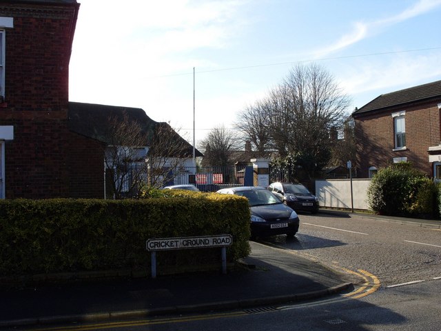
County Ground, Lakenham
The County Ground in Lakenham, Norwich, Norfolk was a cricket ground for over two hundred years, hosting both first-class and List A cricket. Five first...
University Technical College Norfolk
University Technical College Norfolk is a University Technical College in Old Hall Road, Norwich, with a focus on the engineering and health sectors.It...
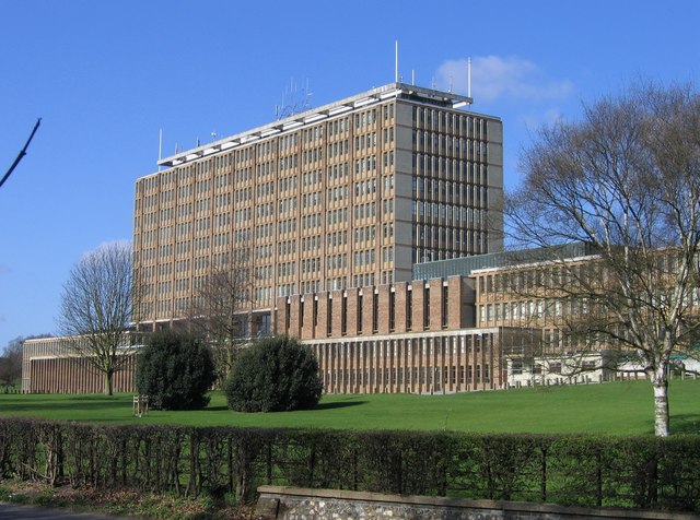
County Hall, Norwich
County Hall is a municipal facility at Martineau Lane in Norwich, Norfolk. It is the headquarters of Norfolk County Council. == History == For much of...
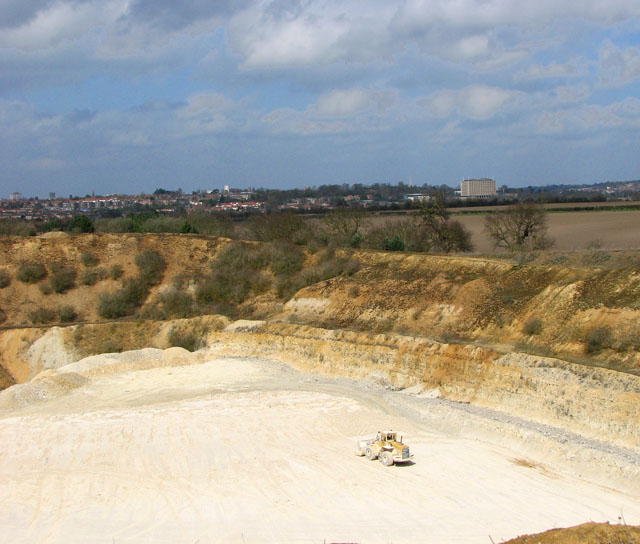
Caistor St Edmund Chalk Pit
Caistor St Edmund Chalk Pit is a 23.6-hectare (58-acre) geological Site of Special Scientific Interest south of Norwich in Norfolk. It is a Geological...
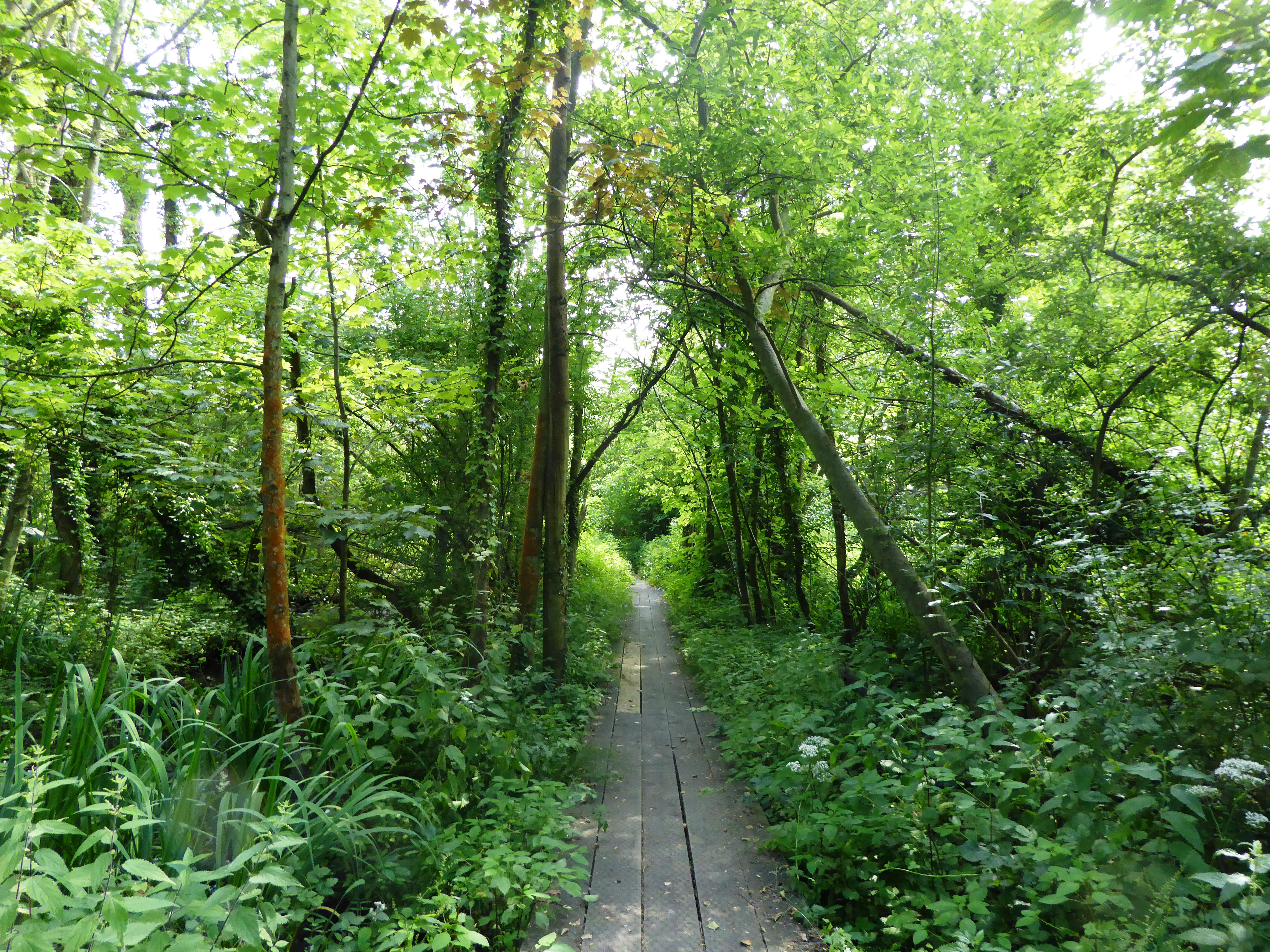
Brundall Church Fen
Brundall Church Fen is a 2.8-hectare (6.9-acre) Local Nature Reserve Norfolk. It is owned by Brundall Parish Council and managed by Brundall Parish...
Nearby Amenities
Located within 500m of 52.605489,1.2950969Have you been to Old Lakenham?
Leave your review of Old Lakenham below (or comments, questions and feedback).