Oakenhead Wood

Settlement in Lancashire Rossendale

England

Oakenhead Wood

Ruins of Under Brow Abandoned farm now fallen into ruin on Cribden Side
Ruins of Under Brow Credit: Chris Heaton

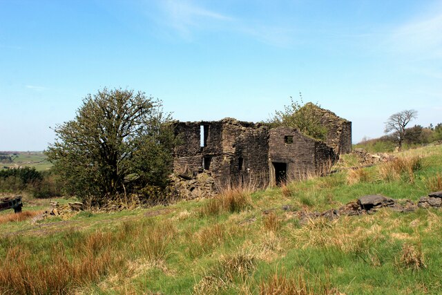
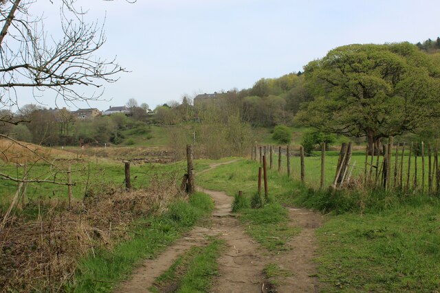
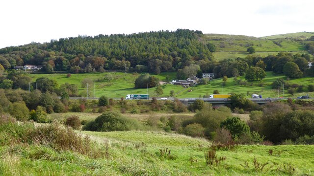
Oakenhead Wood is a picturesque woodland located in Lancashire, England. Covering an area of approximately 100 acres, it is nestled on the outskirts of the town of Burnley, just a short distance away from the village of Worsthorne. The wood is a designated Site of Special Scientific Interest (SSSI), owing to its rich biodiversity and unique ecosystem.

The woodland consists primarily of deciduous trees, with a dense canopy that provides a haven for a wide variety of flora and fauna. Ancient oak trees dominate the landscape, lending the wood its name. These majestic giants, some dating back centuries, are complemented by beech, birch, and ash trees, creating a diverse and enchanting environment.

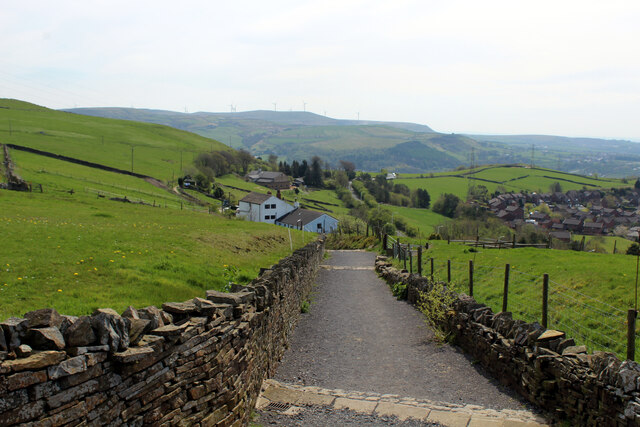
Oakenhead Wood boasts an extensive network of well-maintained footpaths and trails, making it a popular destination for nature enthusiasts and walkers alike. The paths wind through the wood, offering stunning views of the surrounding countryside and glimpses of wildlife, including deer, foxes, and a multitude of bird species.

In addition to its natural beauty, Oakenhead Wood also holds historical significance. The wood was once part of the extensive hunting grounds of the Towneley family, who owned the nearby Towneley Hall. Remnants of old hunting lodges and paths can still be found within the woodland, providing a glimpse into its past.

Overall, Oakenhead Wood is a cherished natural gem in Lancashire, offering visitors a serene escape into nature, a glimpse into history, and an opportunity to appreciate the wonders of the British countryside.

If you have any feedback on the listing, please let us know in the comments section below.

Oakenhead Wood Images

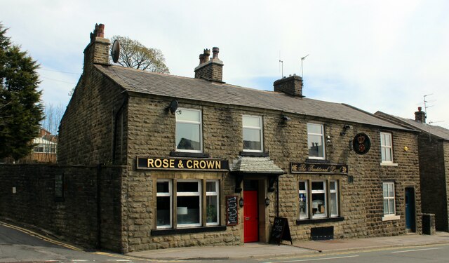
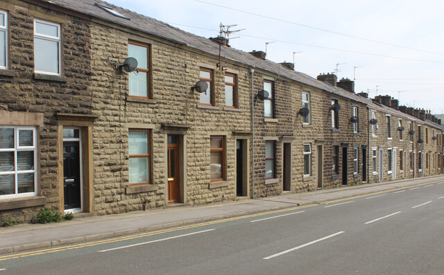
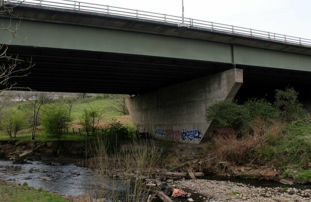
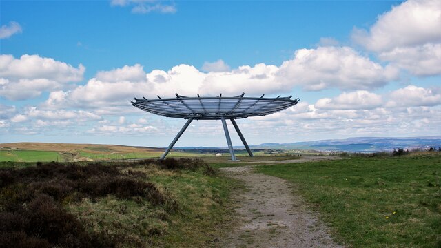
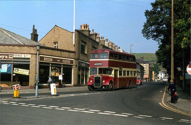
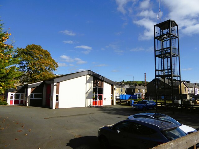
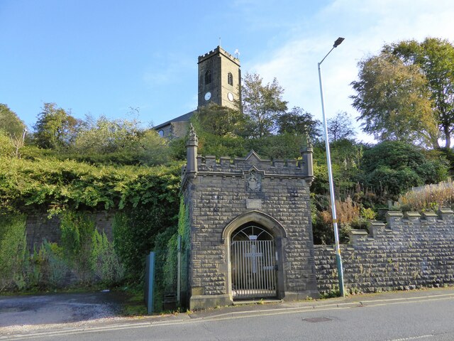
Images are sourced within 2km of 53.702539/-2.3016538 or Grid Reference SD8022. Thanks to Geograph Open Source API. All images are credited.

Ruins of Under Brow Abandoned farm now fallen into ruin on Cribden Side
Ruins of Under Brow
Abandoned farm now fallen into ruin on Cribden Side
Yard of Skips on Cribden Side
Back Alley off Hillside Road, Haslingden Back alley running parallel to Pine Street in Haslingden
Back Alley off Hillside Road, Haslingden
Back alley running parallel to Pine Street in Haslingden
Descending to Spout House
Height End Cottages above Haslingden
Height End
Cottages above Haslingden
Rose and Crown, Haslingden Located on the A680, Manchester Road
Rose and Crown, Haslingden
Located on the A680, Manchester Road
Terraced Housing on Manchester Road, Haslingden
Riverside Path heading for Rawtenstall A long distance path called the Irwell Sculpture Trail, according to the map - seen here below the A56
Riverside Path heading for Rawtenstall
A long distance path called the Irwell Sculpture Trail, according to the map - seen here below the A56
A56 crossing the River Irwell Flyover spanning the River Irwell near Rawtenstall
A56 crossing the River Irwell
Flyover spanning the River Irwell near Rawtenstall
The Halo Panopticon One of East Lancashire's Panopticons on Top of Slate
The Halo Panopticon
One of East Lancashire's Panopticons on Top of Slate
Warner Street, Haslingden – 1981 Compare with <a title="https://www.geograph.org.uk/photo/1702397" href="https://www.geograph.org.uk/photo/1702397">Link</a> in 2010 . The corner shop was already a furniture store by 1981.

Rossendale bus 39 is a Leyland PD3 with East Lances bodywork, new to predecessor Rawtenstall Corporation in 1966.

This is one of a series of views featuring buses in the 60s, 70s, and 80s. <a title="https://www.geograph.org.uk/search.php?i=137652761" href="https://www.geograph.org.uk/search.php?i=137652761">Link</a>
Warner Street, Haslingden – 1981
Compare with Link in 2010 . The corner shop was already a furniture store by 1981. Rossendale bus 39 is a Leyland PD3 with East Lances bodywork, new to predecessor Rawtenstall Corporation in 1966. This is one of a series of views featuring buses in the 60s, 70s, and 80s. Link
Haslingden fire station The rear yard backing on to Hazeldene Avenue
Haslingden fire station
The rear yard backing on to Hazeldene Avenue
Unusual lych gate Entrance to the Church of St James from Blackburn Road. The church is on the hill above the gothic style lych gate.
Unusual lych gate
Entrance to the Church of St James from Blackburn Road. The church is on the hill above the gothic style lych gate.
The A56 Haslingden by-pass road View of the road crossing the East Lancashire Railway at Ewood Bridge
The A56 Haslingden by-pass road
View of the road crossing the East Lancashire Railway at Ewood Bridge
Former National School Dated 1859 on Manchester Road at Ewood Bridge
Former National School
Dated 1859 on Manchester Road at Ewood Bridge
Storage tanks for underlay manufacturer On Knowsley Street
Storage tanks for underlay manufacturer
On Knowsley Street
The Haslingden Bypass (A56) The A56 is an important regional road across northwest England, and one of the two major roads through the city of Manchester (the other being the A6). It runs for 81 miles between the city of Chester in Cheshire and the village of Broughton in North Yorkshire via a mixture of single and dual carriageway sections.

The road was once a trunk route from Chester as far as Burnley but now, only the short dual carriageway section between the M66 and M65 remains a designated as trunk route, and the road has largely been superseded by the faster A51/A54/A556 (and later the M56), and the M66/M65.

More details about the route at <span class="nowrap"><a title="http://www.sabre-roads.org.uk/wiki/index.php?title=A56" rel="nofollow ugc noopener" href="http://www.sabre-roads.org.uk/wiki/index.php?title=A56">Link</a><img style="margin-left:2px;" alt="External link" title="External link - shift click to open in new window" src="https://s1.geograph.org.uk/img/external.png" width="10" height="10"/></span>  SABRE Wiki
The Haslingden Bypass (A56)
The A56 is an important regional road across northwest England, and one of the two major roads through the city of Manchester (the other being the A6). It runs for 81 miles between the city of Chester in Cheshire and the village of Broughton in North Yorkshire via a mixture of single and dual carriageway sections. The road was once a trunk route from Chester as far as Burnley but now, only the short dual carriageway section between the M66 and M65 remains a designated as trunk route, and the road has largely been superseded by the faster A51/A54/A556 (and later the M56), and the M66/M65. More details about the route at LinkExternal link SABRE Wiki
Grane Mill The 1907 SS Stott 500 horsepower horizontal cross compound mill engine that drove the mill until 1979. It is being restored by a small group of dedicated volunteers. Grane was a single storey weaving shed that was typical of this part of Lancashire.
Grane Mill
The 1907 SS Stott 500 horsepower horizontal cross compound mill engine that drove the mill until 1979. It is being restored by a small group of dedicated volunteers. Grane was a single storey weaving shed that was typical of this part of Lancashire.
Show me another place!

Oakenhead Wood is located at Grid Ref: SD8022 (Lat: 53.702539, Lng: -2.3016538)

Administrative County: Lancashire

District: Rossendale

Police Authority: Lancashire

What 3 Words

///hunt.pine.cope. Near Rawtenstall, Lancashire

Related Wikis

Haslingden Canal

The Haslingden Canal was a proposed canal link between the Bury arm of the Manchester Bolton & Bury Canal in Greater Manchester, England, and the Leeds...

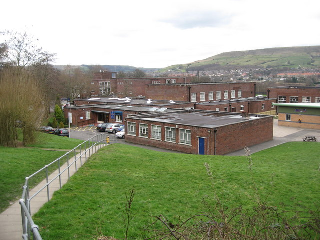
All Saints' Catholic High School, Rawtenstall

All Saints' Catholic High School is a coeducational Roman Catholic secondary school located in Rawtenstall, Lancashire, England. == History == The school...

Rossendale General Hospital

Rossendale General Hospital was an acute general hospital at Rawtenstall in Lancashire. It was managed by the East Lancashire Hospitals NHS Trust. ��2...

Rawtenstall railway station

Rawtenstall railway station serves the town of Rawtenstall in Lancashire, England, and is the northern terminus of the East Lancashire Railway. It was...

Nearby Amenities

Located within 500m of 53.702539,-2.3016538
Traffic Signals
Lat/Long: 53.6988752/-2.304685
Barrier: bollard
Bicycle: yes
Foot: yes
Horse: yes
Motor Vehicle: no
Lat/Long: 53.7015863/-2.3083993
Pub
The Shepherds Inn
Lat/Long: 53.6993241/-2.2990627
The Whitaker
Addr City: Rossendale
Addr Postcode: BB4 6RE
Addr Street: Haslingden Road
Email: info@thewhitaker.org
Fee: no
Museum: art
Opening Hours: We, Fr-Su 10:00-16:00; Th 10:00-20:00
Phone: +44 170 626 0785
Tourism: museum
Website: https://www.thewhitaker.org/
Lat/Long: 53.7002144/-2.2971973
Toilets
Description: Only open in summer months.
Fee: no
Lat/Long: 53.7006086/-2.296344
Cafe
Lat/Long: 53.7001662/-2.2970703
Whittaker Park North Entrance
Lat/Long: 53.7029934/-2.2979535
Whittaker Park East Entrance
Lat/Long: 53.7017483/-2.2956184
Whittaker Park West Entrance
Lat/Long: 53.7015212/-2.2983847
Whittaker Park South Entrance
Lat/Long: 53.6994305/-2.2964511
Generator Method: photovoltaic
Generator Output Electricity: yes
Generator Source: solar
Generator Type: solar_photovoltaic_panel
Location: roof
Power: generator
Lat/Long: 53.7025834/-2.295405
Generator Method: photovoltaic
Generator Output Electricity: yes
Generator Source: solar
Generator Type: solar_photovoltaic_panel
Location: roof
Power: generator
Lat/Long: 53.7025929/-2.2944394
Generator Method: photovoltaic
Generator Output Electricity: yes
Generator Source: solar
Generator Type: solar_photovoltaic_panel
Location: roof
Power: generator
Lat/Long: 53.7000476/-2.3013997
Generator Method: photovoltaic
Generator Output Electricity: yes
Generator Source: solar
Generator Type: solar_photovoltaic_panel
Location: roof
Power: generator
Lat/Long: 53.7001444/-2.3021293
Generator Method: photovoltaic
Generator Output Electricity: yes
Generator Source: solar
Generator Type: solar_photovoltaic_panel
Location: roof
Power: generator
Lat/Long: 53.700308/-2.302596
Generator Method: photovoltaic
Generator Output Electricity: yes
Generator Source: solar
Generator Type: solar_photovoltaic_panel
Location: roof
Power: generator
Lat/Long: 53.7003667/-2.3024055
Generator Method: photovoltaic
Generator Output Electricity: yes
Generator Source: solar
Generator Type: solar_photovoltaic_panel
Location: roof
Power: generator
Lat/Long: 53.6994394/-2.3015633
Generator Method: photovoltaic
Generator Output Electricity: yes
Generator Source: solar
Generator Type: solar_photovoltaic_panel
Location: roof
Power: generator
Lat/Long: 53.700724/-2.3014212
Generator Method: photovoltaic
Generator Output Electricity: yes
Generator Source: solar
Generator Type: solar_photovoltaic_panel
Location: roof
Power: generator
Lat/Long: 53.7007843/-2.3018342
Generator Method: photovoltaic
Generator Output Electricity: yes
Generator Source: solar
Generator Type: solar_photovoltaic_panel
Location: roof
Power: generator
Lat/Long: 53.702053/-2.2994712
Generator Method: photovoltaic
Generator Output Electricity: yes
Generator Source: solar
Generator Type: solar_photovoltaic_panel
Location: roof
Power: generator
Lat/Long: 53.7013607/-2.2991252
Generator Method: photovoltaic
Generator Output Electricity: yes
Generator Source: solar
Generator Type: solar_photovoltaic_panel
Location: roof
Power: generator
Lat/Long: 53.7011638/-2.2990045
Generator Method: photovoltaic
Generator Output Electricity: yes
Generator Source: solar
Generator Type: solar_photovoltaic_panel
Location: roof
Power: generator
Lat/Long: 53.7009145/-2.2986773
Generator Method: photovoltaic
Generator Output Electricity: yes
Generator Source: solar
Generator Type: solar_photovoltaic_panel
Location: roof
Power: generator
Lat/Long: 53.7008764/-2.2988006
Generator Method: photovoltaic
Generator Output Electricity: yes
Generator Source: solar
Generator Type: solar_photovoltaic_panel
Location: roof
Power: generator
Lat/Long: 53.7003207/-2.2993532
The data included in this document is from www.openstreetmap.org. The data is made available under ODbL.

Have you been to Oakenhead Wood?

Leave your review of Oakenhead Wood below (or comments, questions and feedback).