North End

Settlement in Huntingdonshire Huntingdonshire

England

North End

A1(M) southbound, south of Stilton The A1 is the longest numbered road in the UK at 410 miles long. It connects London with Edinburgh, via the east of England. 
For much of its path it follows the Great North Road the old coaching route between London and Edinburgh. Several sections of the route are classified as motorway A1(M). The modern A1 bypasses the towns the Great North Road passed through and is dual carriageway for most of its route through England.
A1(M) southbound, south of Stilton Credit: Christopher Hilton

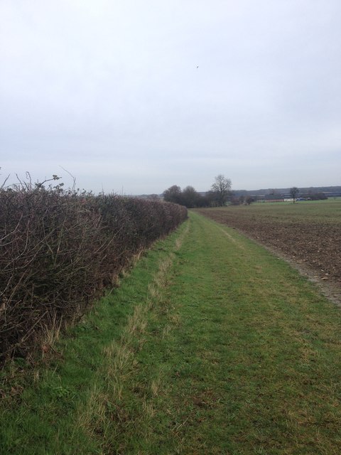
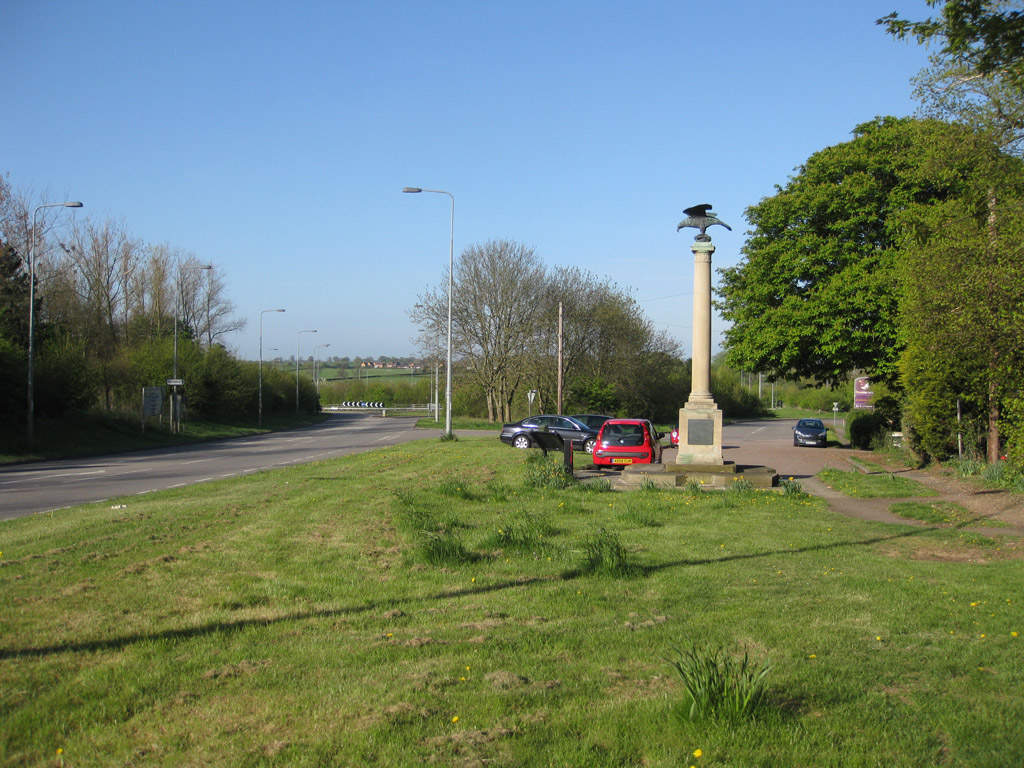
North End is a small village located in the district of Huntingdonshire, Cambridgeshire, England. Situated about 5 miles south of the town of Huntingdon, North End is a rural community with a population of around 300 residents. The village is surrounded by picturesque countryside, offering beautiful views and a tranquil atmosphere.

The village of North End consists mainly of residential properties, with a few small businesses and agricultural activities. The architecture in the area is predominantly traditional, reflecting the village's long history. Many of the houses date back several centuries and are made of local stone, giving the village a charming and timeless character.

Although small, North End benefits from a tight-knit community and a friendly atmosphere. The village has a local pub, which serves as a hub for social gatherings and community events. There are also a number of walking and cycling routes in the surrounding countryside, providing residents and visitors with opportunities to enjoy the natural beauty of the area.

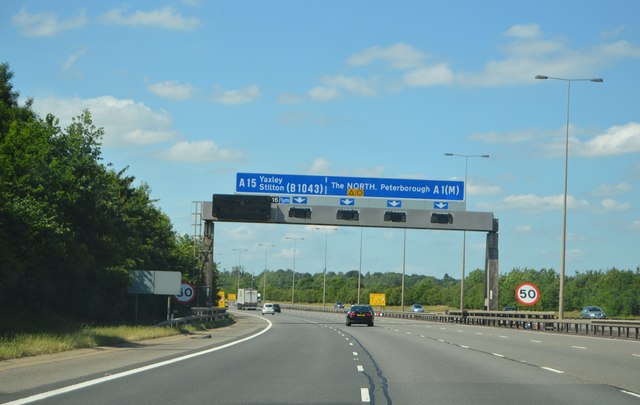
North End is conveniently located near the A1 road, providing easy access to nearby towns and cities. The village is also within commuting distance of Peterborough and Cambridge, making it an attractive location for those seeking a quieter lifestyle while still having access to urban amenities.

Overall, North End is a peaceful and idyllic village, offering its residents a close-knit community, beautiful surroundings, and convenient access to nearby towns and cities.

If you have any feedback on the listing, please let us know in the comments section below.

North End Images

Images are sourced within 2km of 52.493738/-0.29215882 or Grid Reference TL1689. Thanks to Geograph Open Source API. All images are credited.

A1(M) southbound, south of Stilton The A1 is the longest numbered road in the UK at 410 miles long. It connects London with Edinburgh, via the east of England. 
For much of its path it follows the Great North Road the old coaching route between London and Edinburgh. Several sections of the route are classified as motorway A1(M). The modern A1 bypasses the towns the Great North Road passed through and is dual carriageway for most of its route through England.
A1(M) southbound, south of Stilton
The A1 is the longest numbered road in the UK at 410 miles long. It connects London with Edinburgh, via the east of England. For much of its path it follows the Great North Road the old coaching route between London and Edinburgh. Several sections of the route are classified as motorway A1(M). The modern A1 bypasses the towns the Great North Road passed through and is dual carriageway for most of its route through England.
A1(M) - 1 mile to J16 The A1 is the longest numbered road in the UK at 410 miles long. It connects London with Edinburgh, via the east of England. 
For much of its path it follows the Great North Road the old coaching route between London and Edinburgh. Several sections of the route are classified as motorway A1(M). The modern A1 bypasses the towns the Great North Road passed through and is dual carriageway for most of its route through England.
A1(M) - 1 mile to J16
The A1 is the longest numbered road in the UK at 410 miles long. It connects London with Edinburgh, via the east of England. For much of its path it follows the Great North Road the old coaching route between London and Edinburgh. Several sections of the route are classified as motorway A1(M). The modern A1 bypasses the towns the Great North Road passed through and is dual carriageway for most of its route through England.
A1(M), northbound The A1 is the longest numbered road in the UK at 410 miles long. It connects London with Edinburgh, via the east of England. 
For much of its path it follows the Great North Road the old coaching route between London and Edinburgh. Several sections of the route are classified as motorway A1(M). The modern A1 bypasses the towns the Great North Road passed through and is dual carriageway for most of its route through England.
A1(M), northbound
The A1 is the longest numbered road in the UK at 410 miles long. It connects London with Edinburgh, via the east of England. For much of its path it follows the Great North Road the old coaching route between London and Edinburgh. Several sections of the route are classified as motorway A1(M). The modern A1 bypasses the towns the Great North Road passed through and is dual carriageway for most of its route through England.
A1(M) approaching J16 The A1 is the longest numbered road in the UK at 410 miles long. It connects London with Edinburgh, via the east of England. 
For much of its path it follows the Great North Road the old coaching route between London and Edinburgh. Several sections of the route are classified as motorway A1(M). The modern A1 bypasses the towns the Great North Road passed through and is dual carriageway for most of its route through England.
A1(M) approaching J16
The A1 is the longest numbered road in the UK at 410 miles long. It connects London with Edinburgh, via the east of England. For much of its path it follows the Great North Road the old coaching route between London and Edinburgh. Several sections of the route are classified as motorway A1(M). The modern A1 bypasses the towns the Great North Road passed through and is dual carriageway for most of its route through England.
Fen Lane from the corner with the old A1
Path towards Caldecote Dyke Farm
Field edge path
Field edge path
Path near Caldecote Dyke Farm
Caldecote Dyke Farm
Caldecote Dyke Farm
Path near Caldecote Dyke Farm
Path near Manor Farm
Fen Lane view
Fen Lane view
Towards Fen Drove
Towards Fen Drove
Show me another place!

North End is located at Grid Ref: TL1689 (Lat: 52.493738, Lng: -0.29215882)

Administrative County: Cambridgeshire

District: Huntingdonshire

Police Authority: Cambridgeshire

What 3 Words

///witty.extremes.speakers. Near Stilton, Cambridgeshire

Nearby Locations

Stilton North End

Related Wikis

Stilton

Stilton is a village and civil parish in Cambridgeshire, England, about 12 miles (19 km) north of Huntingdon in Huntingdonshire, which is a non-metropolitan...

Norman Cross, Cambridgeshire

Norman Cross is a hamlet in the Huntingdonshire district of Cambridgeshire, England. It lies south of Peterborough, between the villages of Folksworth...

Norman Cross Prison

Norman Cross Prison in Huntingdonshire, England, was the world's first purpose-built prisoner-of-war camp or "depot". Constructed in 1796–97, it was designed...

Norman Cross Rural District

Norman Cross was a rural district in Huntingdonshire from 1894 to 1974. It was formed in 1894 under the Local Government Act 1894 from the part of the...

Nearby Amenities

Located within 500m of 52.493738,-0.29215882
Motorway Junction
Norman Cross
Ref: 16
Lat/Long: 52.4974408/-0.2903051
Post Box
Postal Code: PE7
Ref: PE7 56
Source: survey
Lat/Long: 52.4934033/-0.2903065
Pub
The Stilton Cheese Inn
Source: survey
Wikidata: Q26576234
Lat/Long: 52.490744/-0.2892121
Village Sign
Historic: monument
Lat/Long: 52.4966134/-0.2910038
Telephone
Defibrillator
Access: yes
Booth: K6
Covered: booth
Defibrillator Location: inside old red phone box at junction of North Street and Church Street, Stilton
Emergency: defibrillator
Man Made: telephone_box
Ref GB The Circuit: 2606B887-CCA2-4753-A9D9-AEB70109B1E2
Source: survey
Lat/Long: 52.4897065/-0.2892512
Phone
Check Date: 2021-08-13
Emergency: phone
Lat/Long: 52.4949193/-0.2873864
Phone
Check Date: 2021-08-13
Emergency: phone
Lat/Long: 52.4947691/-0.2880374
Bus Stop
Mill Road
Bus: yes
Naptan AtcoCode: 0500HSTIL003
Naptan Bearing: N
Naptan CommonName: Mill Road
Naptan Indicator: near
Naptan Landmark: Mill Road
Naptan NaptanCode: cmbdpwgw
Naptan ShortCommonName: Mill Road
Naptan Street: North Street
Naptan Verified: no
Public Transport: platform
Shelter: yes
Source: naptan_import
Lat/Long: 52.4942981/-0.2905416
Bus Stop
Church Street
Bus: yes
Naptan AtcoCode: 0500HSTIL006
Naptan Bearing: S
Naptan CommonName: Church Street
Naptan Indicator: opp
Naptan Landmark: Church Street
Naptan NaptanCode: cmbdpwjg
Naptan ShortCommonName: Church Street
Naptan Street: North Street
Naptan Verified: no
Public Transport: platform
Source: naptan_import
Lat/Long: 52.4906485/-0.2893575
Bus Stop
Norman Drive
Bus: yes
Naptan AtcoCode: 0500HSTIL007
Naptan Bearing: S
Naptan BusStopType: CUS
Naptan CommonName: Norman Drive
Naptan Indicator: opp
Naptan Landmark: Norman Drive
Naptan NaptanCode: cmbdpwjm
Naptan ShortCommonName: Norman Drive
Naptan Street: North Street
Naptan Verified: no
Public Transport: platform
Source: naptan_import
Lat/Long: 52.492332/-0.2898747
Bus Stop
Norman Drive
Bus: yes
Naptan AtcoCode: 0500HSTIL009
Naptan Bearing: N
Naptan CommonName: Norman Drive
Naptan Indicator: near
Naptan Landmark: Norman Drive
Naptan NaptanCode: cmbdpwjt
Naptan ShortCommonName: Norman Drive
Naptan Street: North Street
Naptan Verified: no
Public Transport: platform
Source: naptan_import
Lat/Long: 52.4923126/-0.2900294
Bus Stop
Mill Road
Bus: yes
Naptan AtcoCode: 0500HSTIL010
Naptan Bearing: S
Naptan CommonName: Mill Road
Naptan Indicator: opp
Naptan Landmark: Mill Road
Naptan NaptanCode: cmbdpwjw
Naptan ShortCommonName: Mill Road
Naptan Street: North Street
Naptan Verified: no
Public Transport: platform
Source: naptan_import
Lat/Long: 52.4939889/-0.2903032
Bus Stop
Church Street
Bus: yes
Naptan AtcoCode: 0500HSTIL012
Naptan Bearing: N
Naptan CommonName: Church Street
Naptan Indicator: near
Naptan Landmark: Church Street
Naptan NaptanCode: cmbdpwmd
Naptan ShortCommonName: Church Street
Naptan Street: North Street
Naptan Verified: no
Public Transport: platform
Source: naptan_import
Lat/Long: 52.4905064/-0.2894809
The Stilton Lodge
Tourism: hotel
Lat/Long: 52.4905389/-0.2890788
Barrier: cycle_barrier
Lat/Long: 52.4911888/-0.2942945
Barrier: cycle_barrier
Lat/Long: 52.4931852/-0.2921407
Barrier: cycle_barrier
Lat/Long: 52.4916527/-0.2914663
Barrier: cycle_barrier
Lat/Long: 52.4918289/-0.2900032
Barrier: cycle_barrier
Lat/Long: 52.4912327/-0.2938039
Barrier: cycle_barrier
Lat/Long: 52.492249/-0.2916966
Barrier: cycle_barrier
Lat/Long: 52.4931236/-0.2925551
Barrier: cycle_barrier
Lat/Long: 52.4926458/-0.2940193
Barrier: cycle_barrier
Lat/Long: 52.4919012/-0.2915787
Barrier: cycle_barrier
Lat/Long: 52.4895145/-0.2933518
Generator Method: photovoltaic
Generator Output Electricity: yes
Generator Source: solar
Generator Type: solar_photovoltaic_panel
Power: generator
Lat/Long: 52.4910579/-0.2921735
Generator Method: photovoltaic
Generator Output Electricity: yes
Generator Source: solar
Generator Type: solar_photovoltaic_panel
Power: generator
Lat/Long: 52.4910856/-0.2918704
Generator Method: photovoltaic
Generator Output Electricity: yes
Generator Source: solar
Generator Type: solar_photovoltaic_panel
Power: generator
Lat/Long: 52.4908619/-0.291511
Generator Method: photovoltaic
Generator Output Electricity: yes
Generator Source: solar
Generator Type: solar_photovoltaic_panel
Power: generator
Lat/Long: 52.4913453/-0.2912294
The Village Pump
Handle: lever
Man Made: pump
Mechanical Driver: manual
Note: Reported out of use on Note 2930141
Pump Mechanism: piston
Lat/Long: 52.4896158/-0.2893022
Bench
Lat/Long: 52.4896019/-0.2893827
Bench
Lat/Long: 52.4896541/-0.2893237
Waste Basket
Lat/Long: 52.4897064/-0.2892848
Waste Basket
Lat/Long: 52.4895855/-0.2893746
Atm
Atm: yes
Cash Withdrawal: yes
Currency GBP: yes
Drive Through: no
Opening Hours: mon-sat 6:30am - 10:00pm, Sun 7:00am - 10pm
Operator: YourCash ATM Systems
Lat/Long: 52.4895527/-0.289729
The data included in this document is from www.openstreetmap.org. The data is made available under ODbL.

Have you been to North End?

Leave your review of North End below (or comments, questions and feedback).