Norseman
Settlement in Orkney
Scotland
Norseman
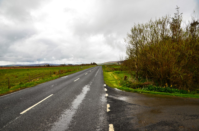
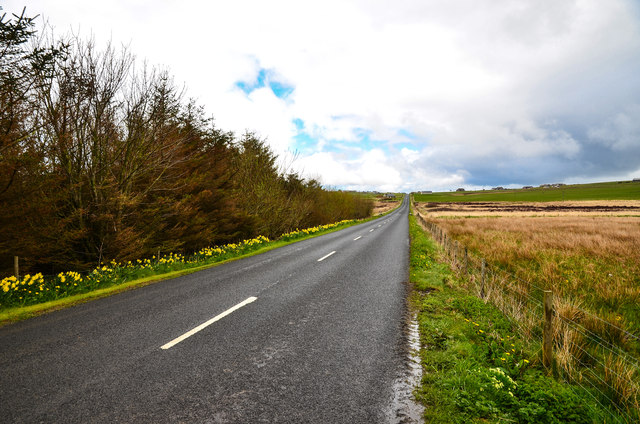
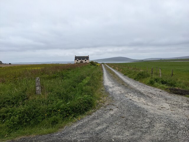
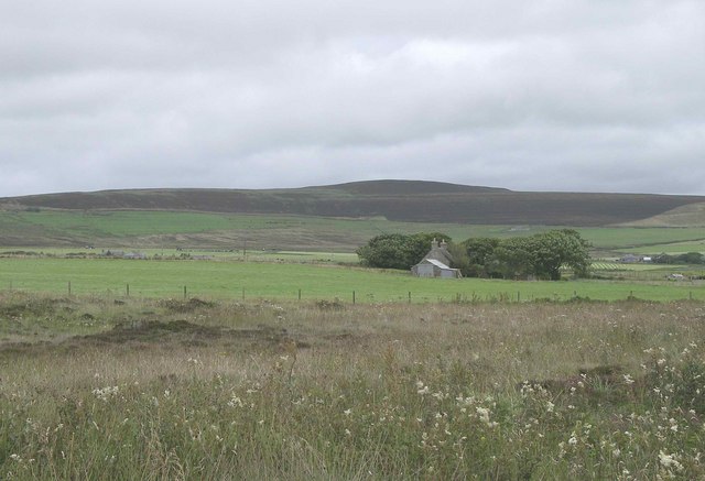
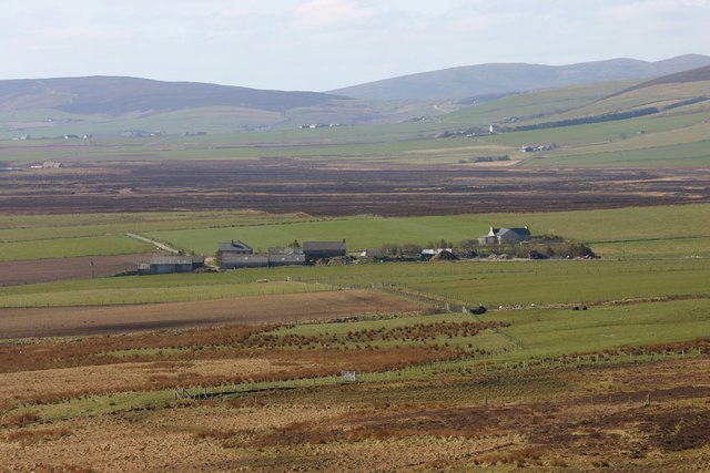
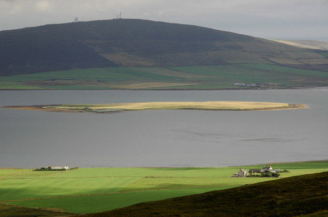
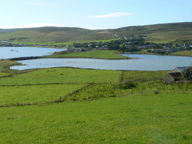
Norseman is a small settlement located on the island of Orkney, off the northeastern coast of Scotland. With a population of approximately 300 residents, it is one of the smaller communities on the island. The settlement is situated on the eastern coast of Mainland, the largest island in the Orkney archipelago.
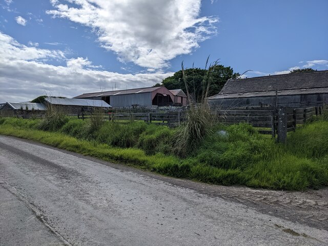
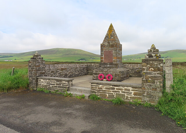
Norseman is known for its rich historical and cultural heritage, as it holds strong connections to the Norse Viking era. The name itself reflects this influence, as it pays homage to the Norse settlers who arrived in the 9th century. The settlement is home to several ancient sites, including the remains of the Earl's Bu, an Iron Age broch that served as a fortified dwelling.
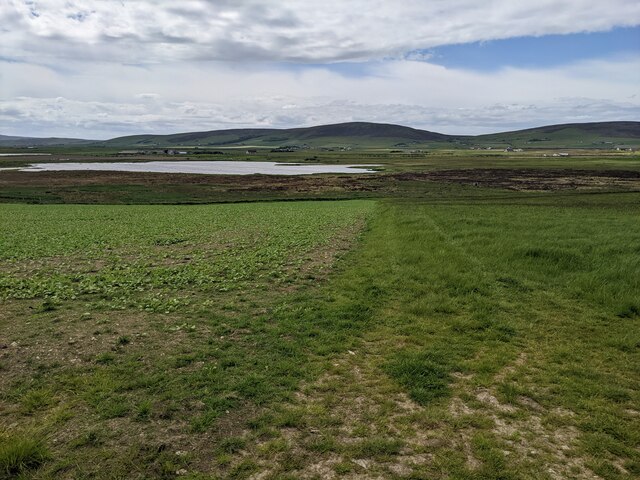
The village boasts stunning coastal scenery, with rugged cliffs and breathtaking views of the North Sea. Its location also offers easy access to nearby natural landmarks, such as the Brough of Birsay and the Yesnaby Cliffs, which attract visitors from far and wide.
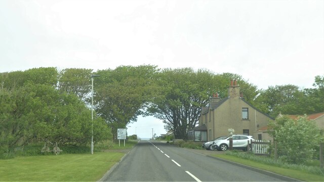
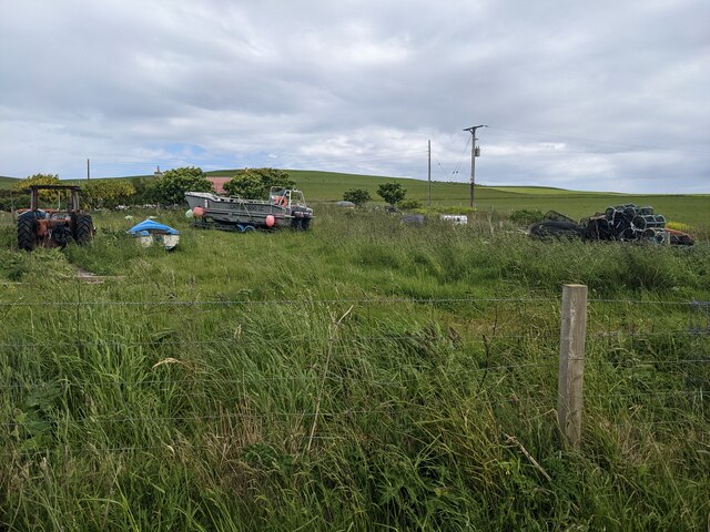
Despite its small size, Norseman has a close-knit community that actively participates in local events and traditions. The settlement features a few essential amenities, including a primary school, a community center, and a local shop. Norseman is also well-connected to other parts of the island, with regular bus services linking it to Kirkwall, Orkney's main town.
Overall, Norseman is a charming and historically significant settlement that embraces its Viking heritage and offers stunning natural beauty to both residents and visitors alike.
If you have any feedback on the listing, please let us know in the comments section below.
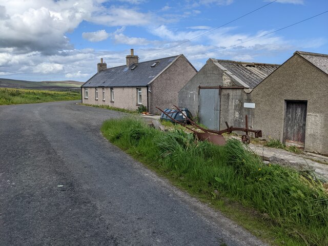
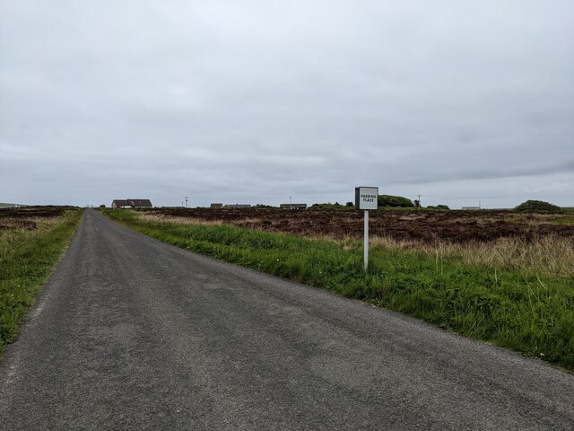
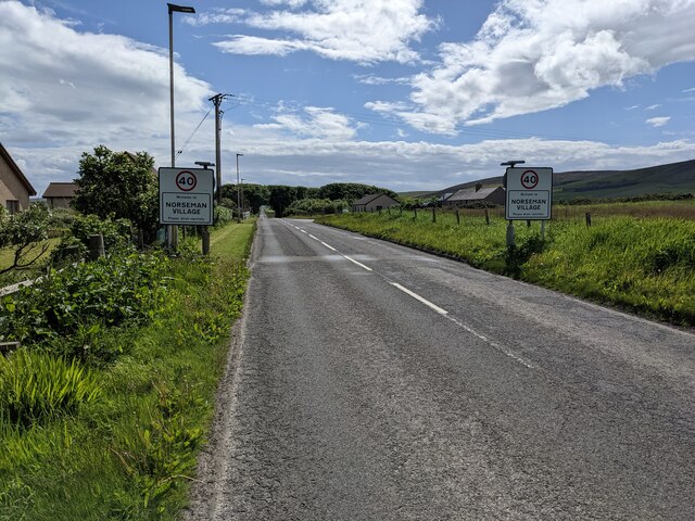
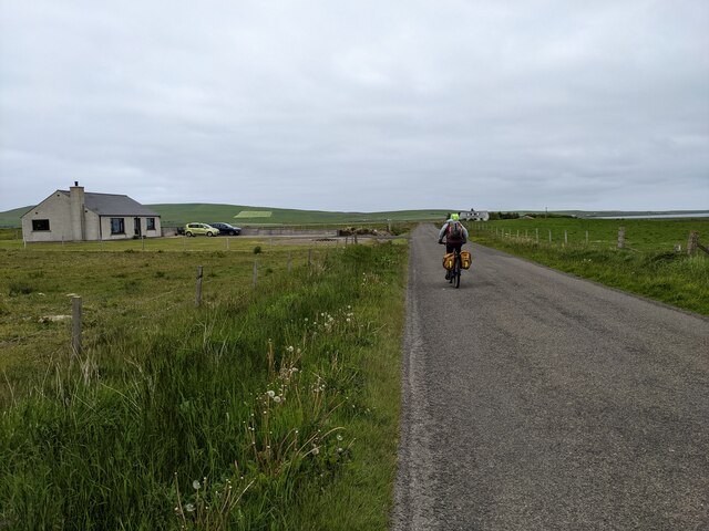
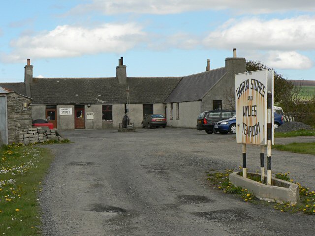
Norseman Images
Images are sourced within 2km of 59.050316/-3.0806925 or Grid Reference HY3818. Thanks to Geograph Open Source API. All images are credited.


Norseman is located at Grid Ref: HY3818 (Lat: 59.050316, Lng: -3.0806925)
Unitary Authority: Orkney Islands
Police Authority: Highlands and Islands
What 3 Words
///replayed.dime.sandbags. Near Rendall, Orkney Islands
Related Wikis
Rendall
Rendall (Old Norse: Rennudalr or Rennadal) is a parish on Mainland, Orkney, Scotland. It is in the north west of the island and lies east of the parishes...

Knowes of Trotty
The Knowes of Trotty is a Bronze Age cemetery located in Mainland, Orkney in Scotland. The ancient site consists of a group of twelve surviving burial...
Damsay
Damsay is an islet in the Orkney archipelago in Scotland. It is approximately 18 hectares (0.07 sq mi) in extent and rises to only 11 metres (36 ft) above...
Finstown
Finstown (locally ) is a village in the parish of Firth on Mainland, Orkney, Scotland. It is the fourth-largest settlement in the Orkney Islands. According...

Holm of Grimbister
Holm of Grimbister is an inhabited tidal islet in the Orkney archipelago of Scotland. Located in the Bay of Firth near Finstown it is connected to Mainland...
Harray
Harray (pronounced ) (Old Norse: Herað; Norn: Herrað) is a parish on Mainland, Orkney, Scotland. It has the unique distinction of being the only parish...

Bimbister
Bimbister is a village on the Orkney Islands, Scotland. The A986 is the main road through the village. The Bronze Age cemetery, the Knowes of Trotty, which...
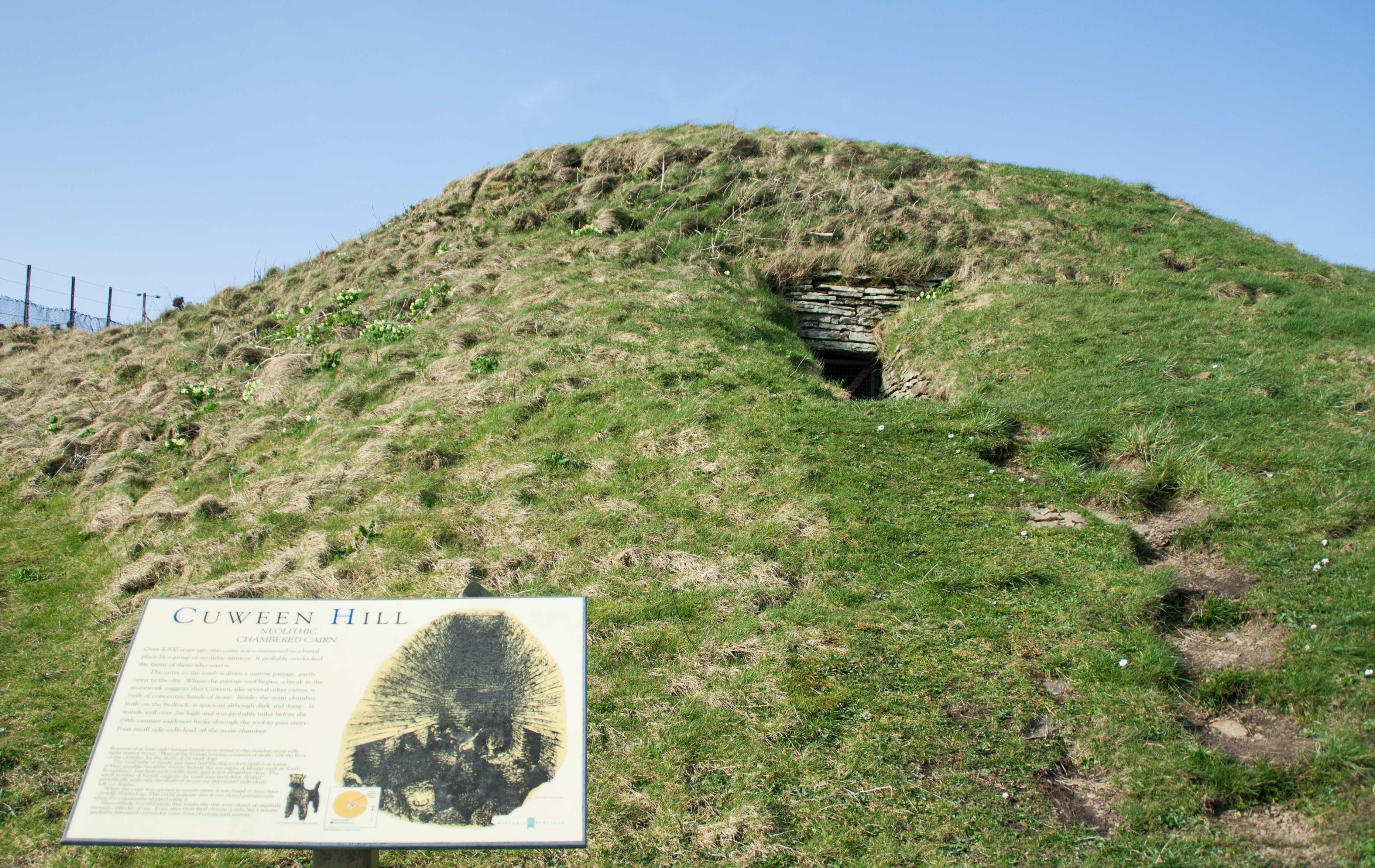
Cuween Hill Chambered Cairn
Cuween Hill Chambered Cairn (grid reference HY364127) is a Neolithic chambered cairn on Mainland, the main island of Orkney, Scotland, about 6 miles west...
Nearby Amenities
Located within 500m of 59.050316,-3.0806925Have you been to Norseman?
Leave your review of Norseman below (or comments, questions and feedback).