Nomansland

Settlement in Devon Mid Devon

England

Nomansland

Stubble field and woodland near Shobrooke
Stubble field and woodland near Shobrooke Credit: Jonathan Thacker

The requested URL returned error: 429 Too Many Requests

If you have any feedback on the listing, please let us know in the comments section below.
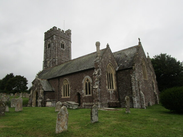
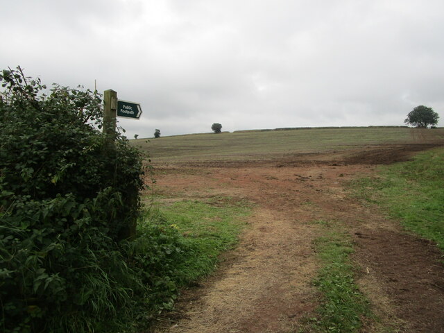
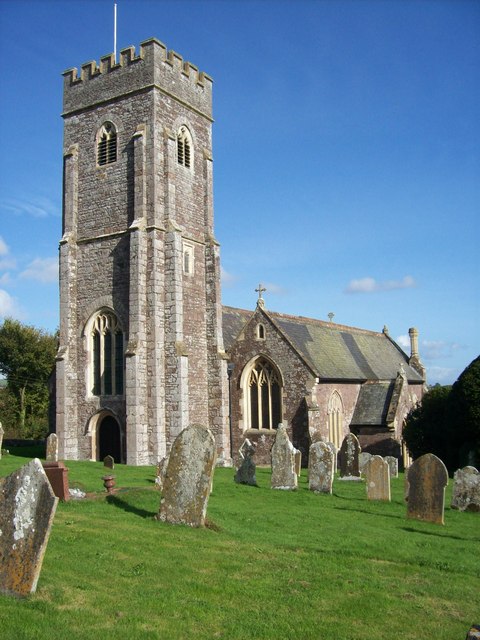
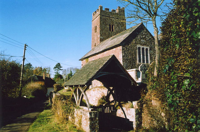
Nomansland Images

Images are sourced within 2km of 50.80676/-3.6220549 or Grid Reference SS8502. Thanks to Geograph Open Source API. All images are credited.

Stubble field and woodland near Shobrooke
St. Swithin's church, Shobrooke Heavily restored fifteenth century church <span class="nowrap"><a title="https://historicengland.org.uk/listing/the-list/list-entry/1107048" rel="nofollow ugc noopener" href="https://historicengland.org.uk/listing/the-list/list-entry/1107048">Link</a><img style="margin-left:2px;" alt="External link" title="External link - shift click to open in new window" src="https://s1.geograph.org.uk/img/external.png" width="10" height="10"/></span>
St. Swithin's church, Shobrooke
Heavily restored fifteenth century church LinkExternal link
Footpath to Shobrooke Crosses this field.
Footpath to Shobrooke
Crosses this field.
Lower Creedy seen across the Creedy valley
Lower Creedy Bridge over River Creedy
Road to Lower Creedy The verge of the road is lined with cow-parsley, passing a small barn on the north side of the road.
Road to Lower Creedy
The verge of the road is lined with cow-parsley, passing a small barn on the north side of the road.
Middleways between Lower Creedy and Upton Hellions
Footpath north from Upton Hellions to Bremridge Farm
Track to Haske
Track to Haske
Road north-east from Lower Haske Cross
Road south from Lower Haske Cross
Road skirting south-west corner of Shobrooke Park The park is on the right of the road.
Road skirting south-west corner of Shobrooke Park
The park is on the right of the road.
Footbridge over River Creedy
River Creedy near Lord's Meadow Lord's Meadow is on the west (left) bank of the river
River Creedy near Lord's Meadow
Lord's Meadow is on the west (left) bank of the river
Footbridge and footpath on east of Crediton
Creedy Court residential home
South Lodge gates to Shobrooke Park These gates provide the entrance to the park, and to the cricket ground.  How many village cricket grounds have such and impressive gateway?
South Lodge gates to Shobrooke Park
These gates provide the entrance to the park, and to the cricket ground. How many village cricket grounds have such and impressive gateway?
War memorial at Shobrooke Cross
Show me another place!

Nomansland is located at Grid Ref: SS8502 (Lat: 50.80676, Lng: -3.6220549)

Administrative County: Devon

District: Mid Devon

Police Authority: Devon and Cornwall

What 3 Words

///enter.devalued.flying. Near Crediton, Devon

Nearby Locations

Nomansland

Related Wikis

Little Fulford

Little Fulford was an historic estate in the parishes of Shobrooke and Crediton, Devon. It briefly share ownership before 1700 with Great Fulford, in Dunsford...

Shobrooke

Shobrooke is a village, parish and former manor in Devon, England. The village is situated about 1 1/2 miles north-east of Crediton. It is located close...

Upton Hellions

Upton Hellions is a village in Devon, England, located north of Long Barn and south of East Village, and near to Crediton. == External links == Media...

Crediton United A.F.C.

Crediton United Association Football Club is a football club based in Crediton, Devon, England. They are currently members of the South West Peninsula...

Nearby Amenities

Located within 500m of 50.80676,-3.6220549
Tourism: caravan_site
Lat/Long: 50.8062102/-3.6207995
The data included in this document is from www.openstreetmap.org. The data is made available under ODbL.

Have you been to Nomansland?

Leave your review of Nomansland below (or comments, questions and feedback).