Newtown

Settlement in Cheshire

England

Newtown

Greenlands House on Greenlands in Tattenhall.
Greenlands Credit: Peter McDermott

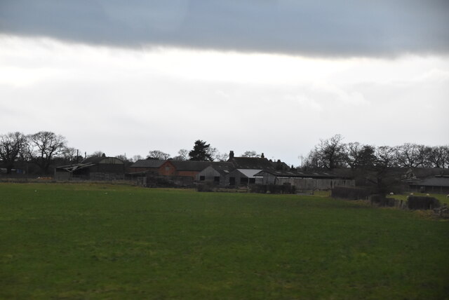
Newtown is a small village located in the county of Cheshire, England. It is situated approximately 3 miles east of the town of Nantwich and is part of the civil parish of Acton. With a population of around 1,000 residents, Newtown is known for its close-knit community and picturesque surroundings.

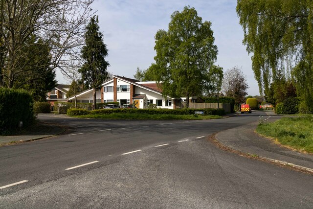
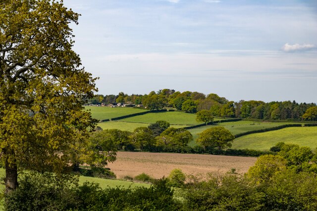
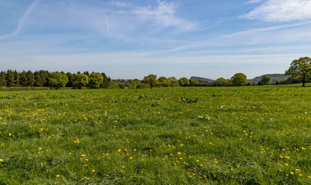
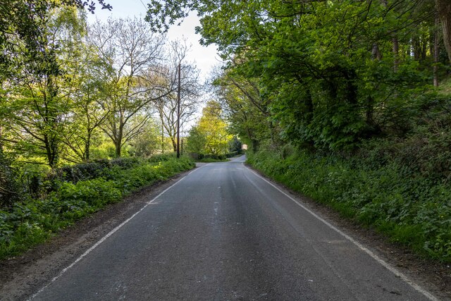
The village is surrounded by rolling countryside and offers stunning views of the Cheshire Plain. Its rural setting attracts nature enthusiasts and outdoor lovers, with several walking trails and green spaces to explore. The nearby Shropshire Union Canal provides a peaceful retreat for boating and fishing.

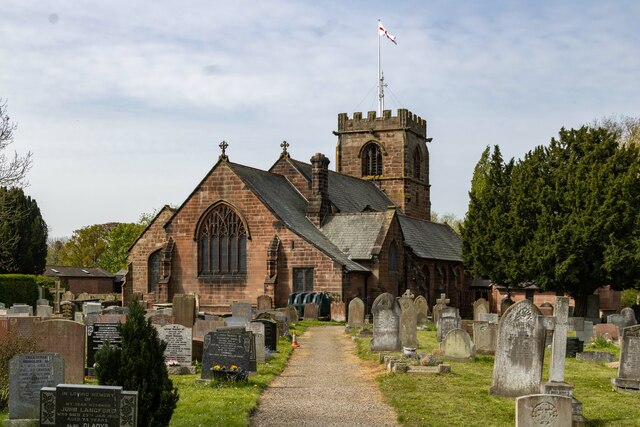
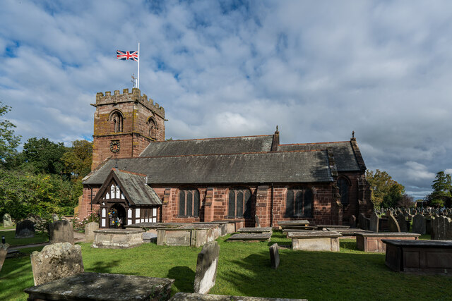
Newtown has a rich history dating back to the medieval period, and some historic buildings can still be seen today. St. Mary's Church, a Grade I listed building, stands as a prominent landmark in the village. It dates back to the 14th century and features a distinctive tower and stained glass windows.

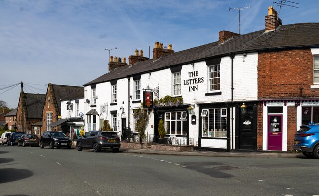
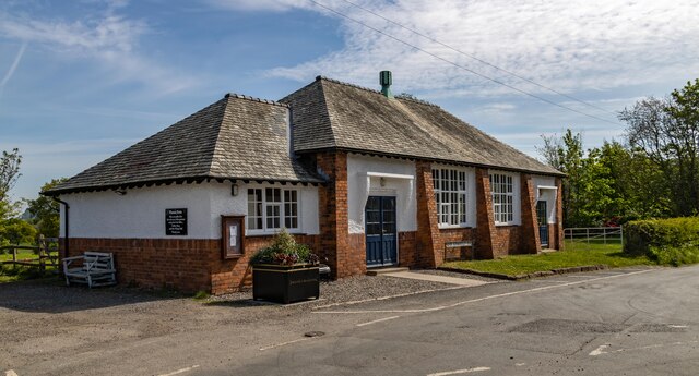
Despite its small size, Newtown offers a range of amenities to its residents. These include a local convenience store, a primary school, and a pub that serves as a social hub for the community. The village also benefits from good transport links, with regular bus services connecting it to nearby towns and cities.

Overall, Newtown, Cheshire, is a charming and peaceful village that offers a tranquil rural lifestyle while still being within easy reach of larger urban centers. Its strong sense of community, beautiful surroundings, and historic charm make it an attractive place to live or visit.

If you have any feedback on the listing, please let us know in the comments section below.
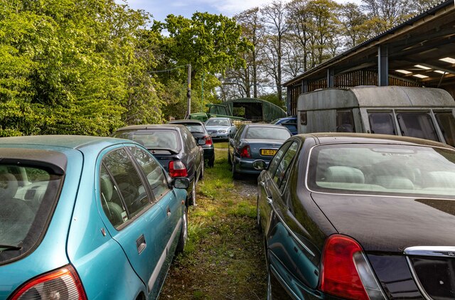
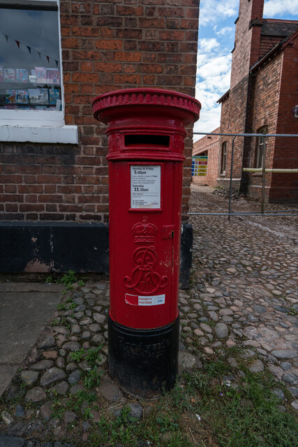
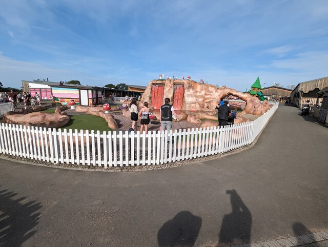
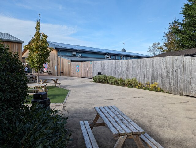
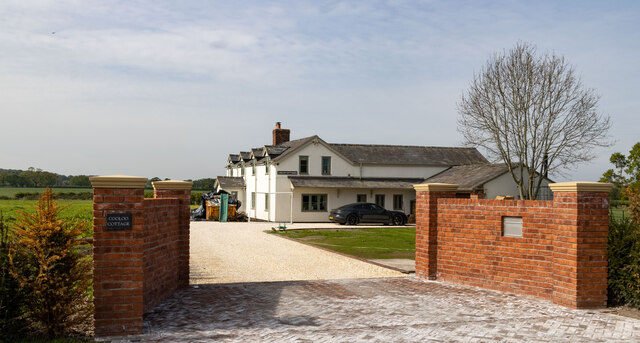
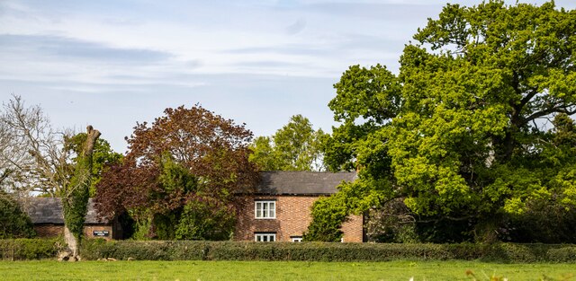
Newtown Images

Images are sourced within 2km of 53.116443/-2.7458456 or Grid Reference SJ5057. Thanks to Geograph Open Source API. All images are credited.

Greenlands House on Greenlands in Tattenhall.
Greenlands
House on Greenlands in Tattenhall.
St Alban's Church St Alban's Church in Tattenhall.
St Alban's Church
St Alban's Church in Tattenhall.
Tattenhall The Letters Inn in Tattenhall.
Tattenhall
The Letters Inn in Tattenhall.
Bolesworth Hill Farm
Whitehead Farm Impressive collection of Rover cars at Whitehead Farm.
Whitehead Farm
Impressive collection of Rover cars at Whitehead Farm.
Edward VII (1901-1910) Post Box, Tattenhall
St. Alban's Church, Tattenhall It is thought that a church may have existed on this site at the time of the Norman conquest. The tower and parts of the present church date from the early 16th century. The church was restored and largely remodelled in 1869–70. During this time the remains of an earlier church which had been destroyed by fire were discovered. Also discovered were a skeleton of a large man outside the north wall and a coffin containing bones under the floor of the church. 

<span class="nowrap"><a title="https://en.wikipedia.org/wiki/St_Alban%27s_Church,_Tattenhall" rel="nofollow ugc noopener" href="https://en.wikipedia.org/wiki/St_Alban%27s_Church,_Tattenhall">Link</a><img style="margin-left:2px;" alt="External link" title="External link - shift click to open in new window" src="https://s1.geograph.org.uk/img/external.png" width="10" height="10"/></span>
St. Alban's Church, Tattenhall
It is thought that a church may have existed on this site at the time of the Norman conquest. The tower and parts of the present church date from the early 16th century. The church was restored and largely remodelled in 1869–70. During this time the remains of an earlier church which had been destroyed by fire were discovered. Also discovered were a skeleton of a large man outside the north wall and a coffin containing bones under the floor of the church. LinkExternal link
Tree ice cream sculpture at Cheshire Ice Cream Farm If you wait long enough, it will even squirt out some foam every half hour or so...
Tree ice cream sculpture at Cheshire Ice Cream Farm
If you wait long enough, it will even squirt out some foam every half hour or so...
Mini golf at Cheshire Ice Cream Farm
Cheshire Ice Cream Farm I believe this is the same building as <a href="https://www.geograph.org.uk/photo/160757">SJ4959 : Cheshire Farm</a> (which may have incorrect photo subject location). This building, which I suspect has been re-clad, now houses a cafe and a soft play. The whole facility has been significantly overhauled in the intervening 17 years.
Cheshire Ice Cream Farm
I believe this is the same building as SJ4959 : Cheshire Farm (which may have incorrect photo subject location). This building, which I suspect has been re-clad, now houses a cafe and a soft play. The whole facility has been significantly overhauled in the intervening 17 years.
Cooloo Cottage
Cooloo Cottage
Bolesworth Road Bolesworth Road near Oakbank Farm.
Bolesworth Road
Bolesworth Road near Oakbank Farm.
Manorhouse Farm Fields at Manorhouse Farm.
Manorhouse Farm
Fields at Manorhouse Farm.
Burwardsley The village hall at Burwardsley.
Burwardsley
The village hall at Burwardsley.
Sandhollow Farm Road near Sandhollow Farm.
Sandhollow Farm
Road near Sandhollow Farm.
Marshy pond
Marshy pond
Ford Farm
Ford Farm
Show me another place!

Newtown is located at Grid Ref: SJ5057 (Lat: 53.116443, Lng: -2.7458456)

Unitary Authority: Cheshire West and Chester

Police Authority: Cheshire

What 3 Words

///swear.staining.trio. Near Tattenhall, Cheshire

Nearby Locations

Newtown

Related Wikis

Tattenhall

Tattenhall is a village and former civil parish, now in the parish of Tattenhall and District, 8 miles (13 km) south-east of Chester, in the unitary authority...

Tattenhall Hall

Tattenhall Hall is a country house standing to the south of the village of Tattenhall, Cheshire, England. The house is designated by English Heritage as...

St Alban's Church, Tattenhall

St Alban's Church is in the village of Tattenhall, Cheshire, England. It is an active Anglican parish church in the diocese of Chester, the archdeaconry...

The Rookery, Tattenhall

The Rookery is a former country house in the village of Tattenhall, Cheshire, England. The house was originally owned by the Orton family. It was reconstructed...

Nearby Amenities

Located within 500m of 53.116443,-2.7458456
Give Way
Direction: backward
Lat/Long: 53.1164443/-2.7458571
Power: pole
Lat/Long: 53.1190563/-2.7501386
Power: pole
Lat/Long: 53.1181549/-2.7522522
Power: pole
Lat/Long: 53.1206242/-2.7462738
Power: pole
Lat/Long: 53.1200418/-2.7476726
Power: pole
Lat/Long: 53.1195694/-2.7487853
The data included in this document is from www.openstreetmap.org. The data is made available under ODbL.

Have you been to Newtown?

Leave your review of Newtown below (or comments, questions and feedback).