Newton of Ferintosh

Settlement in Ross-shire

Scotland

Newton of Ferintosh

Forestry access track Forestry access track and forest walk
Forestry access track Credit: David Maclennan

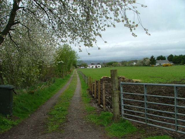
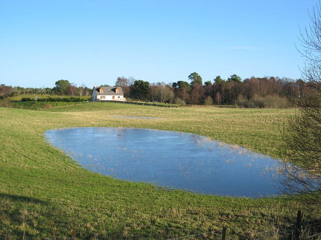
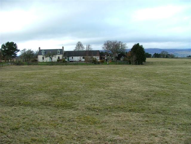
Newton of Ferintosh is a small village situated in the county of Ross-shire in the Scottish Highlands. It is located about 15 miles northeast of Inverness, the region's largest city. Nestled amidst picturesque landscapes, Newton of Ferintosh is known for its scenic beauty and tranquil surroundings.

The village has a rich history that dates back several centuries. It was named after the Ferintosh Distillery, which was established in the late 17th century and became one of the most renowned whisky producing facilities in Scotland. Although the distillery closed in the early 19th century, its legacy remains a significant part of the village's identity.

Today, Newton of Ferintosh is primarily a residential area, characterized by charming traditional cottages and newer housing developments. The village offers a close-knit community atmosphere and a peaceful lifestyle, appealing to those seeking a slower pace of life away from the hustle and bustle of larger cities.

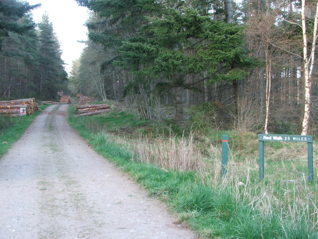
The surrounding countryside provides ample opportunities for outdoor activities, such as hiking, cycling, and fishing. The nearby River Conon is a popular spot for anglers, known for its salmon and trout fishing. The area is also home to several nature reserves, offering opportunities for birdwatching and wildlife spotting.

While Newton of Ferintosh is a small village, essential amenities can be found nearby. The larger towns of Dingwall and Inverness provide additional shopping, healthcare, and educational facilities for residents. Additionally, the village is well-connected by road, making it easily accessible for those wishing to explore the wider region.

In summary, Newton of Ferintosh is a charming village in Ross-shire, Scotland, known for its scenic beauty, historical significance, and peaceful atmosphere. It offers a tranquil lifestyle and a close-knit community, making it an attractive destination for those seeking a rural retreat.

If you have any feedback on the listing, please let us know in the comments section below.

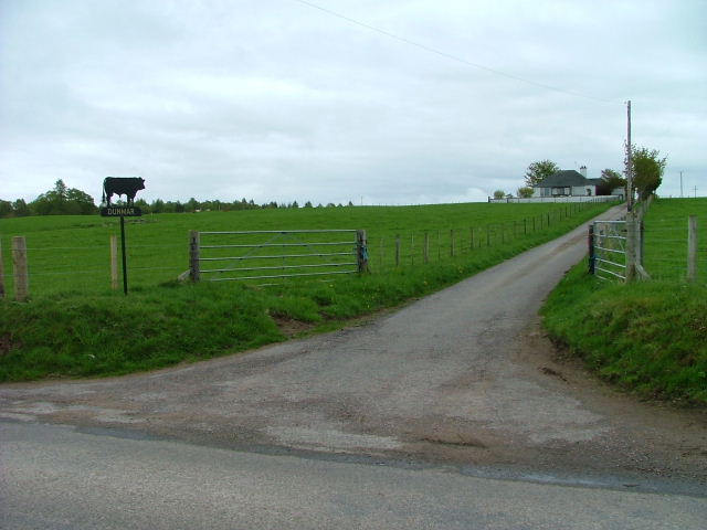
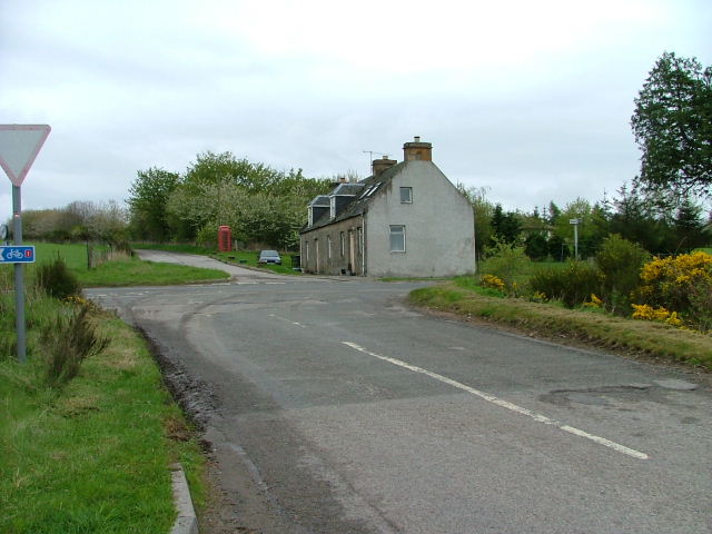
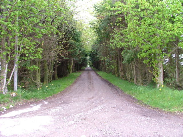
Newton of Ferintosh Images

Images are sourced within 2km of 57.551442/-4.4053824 or Grid Reference NH5653. Thanks to Geograph Open Source API. All images are credited.

Forestry access track Forestry access track and forest walk
Forestry access track
Forestry access track and forest walk
Farm Road To Dunmar Farm.
Farm Road
To Dunmar Farm.
Road Junction Junction of the Torgorm and Easter Kinkell roads known as The Old Leanaig Crossroads. The house was the Leanaig shop and Post Office. It even had a Cyclist's Rest Café in the 1950s.
Road Junction
Junction of the Torgorm and Easter Kinkell roads known as The Old Leanaig Crossroads. The house was the Leanaig shop and Post Office. It even had a Cyclist's Rest Café in the 1950s.
Driveway To Rootfield Farm.
Driveway
To Rootfield Farm.
Farm Track Leading to Highfield Park.
Farm Track
Leading to Highfield Park.
Bishop Kinkell Very much commuter country up here on the less fertile sandy soils. New houses everywhere.
Bishop Kinkell
Very much commuter country up here on the less fertile sandy soils. New houses everywhere.
War Memorial on the B9169 Taken from the road.
War Memorial on the B9169
Taken from the road.
Below Leanaig Farm by the side of the old Inverness road Ben Wyvis can be seen in the far distance.
Below Leanaig Farm by the side of the old Inverness road
Ben Wyvis can be seen in the far distance.
Dingwall from the Black Isle Dingwall, the county town of Ross-shire is seen across the Conon River estuary.
Dingwall from the Black Isle
Dingwall, the county town of Ross-shire is seen across the Conon River estuary.
Road sign to Caladh, near Easter Kinkell On the Black Isle
Road sign to Caladh, near Easter Kinkell
On the Black Isle
House at Knocknafanaig on the Black Isle On a frosty December afternoon.
House at Knocknafanaig on the Black Isle
On a frosty December afternoon.
Sheep being wintered on turnips near Easter Kinkell Looking over the end of the Cromarty Firth towards Ben Wyvis
Sheep being wintered on turnips near Easter Kinkell
Looking over the end of the Cromarty Firth towards Ben Wyvis
Newton of Ferintosh A section of the field that has been flooded by days of rain is suddenly frozen on a clear, cold morning.
Newton of Ferintosh
A section of the field that has been flooded by days of rain is suddenly frozen on a clear, cold morning.
Farm Road Near Corntown.
Farm Road
Near Corntown.
West Croft Uplands In the district of Newton of Kinkell.
West Croft Uplands
In the district of Newton of Kinkell.
Service memorial: Sir Hector A  Macdonald (detail) A record of remarkable military service
Service memorial: Sir Hector A Macdonald (detail)
A record of remarkable military service
View north to Ben Wyvis
Winter afternoon near Easter Kinkell Ben Wyvis in the distance
Winter afternoon near Easter Kinkell
Ben Wyvis in the distance
Show me another place!

Newton of Ferintosh is located at Grid Ref: NH5653 (Lat: 57.551442, Lng: -4.4053824)

Unitary Authority: Highland

Police Authority: Highlands and Islands

What 3 Words

///factually.bongo.visit. Near Conon Bridge, Highland

Nearby Locations

Newton of Ferintosh

Related Wikis

Muir of Allangrange

Muir of Allangrange is a scattered crofting township, lying 3 miles northeast of Muir of Ord on the western side of the Black Isle, in Ross-shire, Scottish...

Newton of Kinkell

Newton of Kinkell is a scattered crofting township, along with Newton of Ferintosh in Dingwall, Black Isle, Ross-shire, Scottish Highlands and is in the...

Newton of Ferintosh

Newton of Ferintosh is a scattered crofting township on the Black Isle in the Highland council area of Scotland. It is between the villages of Tore and...

Urquhart and Logie Wester

Urquhart and Logie Wester is a parish within the county of Ross and Cromarty, Scotland. It is situated in the area known as the Black Isle and is in the...

Conon Bridge

Conon Bridge (Scottish Gaelic: Drochaid Sguideil, pronounced [ˈt̪ɾɔxɪtʲ ˈs̪kutʲal]) is a village in the Highland region of Scotland. The current Gaelic...

Easter Kinkell

Easter Kinkell is a rural village, in the parish of Urquhart and Logie Wester, in the area known as Black Isle, in the county of Ross-shire, Scottish Highlands...

Conon Bridge railway station

Conon Bridge is a railway station on the Far North and Kyle of Lochalsh Lines, which serves the villages of Conon Bridge and Maryburgh in the Scottish...

Corntown, Highland

Corntown is a small hamlet, located 1⁄2 mile (800 m) northeast of Conon Bridge in Ross-shire, Scottish Highlands and is in the Scottish council area of...

Nearby Amenities

Located within 500m of 57.551442,-4.4053824
Newton of Kinkell
Place: hamlet
Lat/Long: 57.5476945/-4.4022994
Bus Stop
Leanaig Crossroads
Naptan AtcoCode: 670061040
Naptan Bearing: NE
Naptan CommonName: Leanaig Crossroads
Naptan Indicator: Northeast Bound towards Easter Kinkell
Naptan Landmark: Crossroads
Naptan NaptanCode: 45324587
Naptan Street: B9169
Naptan Verified: no
Source: naptan_import
Lat/Long: 57.5526238/-4.4041556
Bus Stop
Leanaig Crossroads
Naptan AtcoCode: 670061040A
Naptan Bearing: SW
Naptan CommonName: Leanaig Crossroads
Naptan Indicator: at Junction heading towards A9
Naptan Landmark: Crossroads
Naptan NaptanCode: 45324586
Naptan Street: B9169
Naptan Verified: no
Source: naptan_import
Lat/Long: 57.5523528/-4.4041858
Booth: K6
Old Phone: +44 1349 861395
Removed Amenity: telephone
Lat/Long: 57.5521924/-4.4038654
Power: pole
Lat/Long: 57.5545672/-4.4088308
Power: pole
Lat/Long: 57.553877/-4.4096891
Power: pole
Lat/Long: 57.553472/-4.4101295
Material: wood
Power: pole
Lat/Long: 57.5529636/-4.4107017
Material: wood
Power: pole
Lat/Long: 57.5526392/-4.4110446
Power: pole
Lat/Long: 57.5521667/-4.4115641
Power: pole
Lat/Long: 57.5516876/-4.4120897
Power: pole
Lat/Long: 57.5522461/-4.397729
Power: pole
Lat/Long: 57.548228/-4.4015071
Power: pole
Lat/Long: 57.5483956/-4.4024
Power: pole
Lat/Long: 57.5485938/-4.4033456
Power: pole
Lat/Long: 57.5487778/-4.4042851
Power: pole
Lat/Long: 57.548633/-4.4050116
Power: pole
Lat/Long: 57.5505303/-4.4062788
Power: pole
Lat/Long: 57.5503256/-4.4052845
Power: pole
Lat/Long: 57.5501481/-4.4044201
Power: pole
Lat/Long: 57.5499521/-4.4035881
Power: pole
Lat/Long: 57.5495786/-4.4018998
Power: pole
Lat/Long: 57.5494077/-4.4010861
Power: pole
Lat/Long: 57.549227/-4.4002602
Power: pole
Lat/Long: 57.5489689/-4.3991259
Power: pole
Lat/Long: 57.5490114/-4.4015954
Power: pole
Lat/Long: 57.5519213/-4.4133011
Material: wood
Power: pole
Lat/Long: 57.5515221/-4.4112468
Material: wood
Power: pole
Lat/Long: 57.5513595/-4.4103763
Material: wood
Power: pole
Lat/Long: 57.5511862/-4.4094894
Material: wood
Power: pole
Lat/Long: 57.5510188/-4.4086171
Material: wood
Power: pole
Lat/Long: 57.550821/-4.4076024
The data included in this document is from www.openstreetmap.org. The data is made available under ODbL.

Have you been to Newton of Ferintosh?

Leave your review of Newton of Ferintosh below (or comments, questions and feedback).