Newborough End
Settlement in Staffordshire East Staffordshire
England
Newborough End

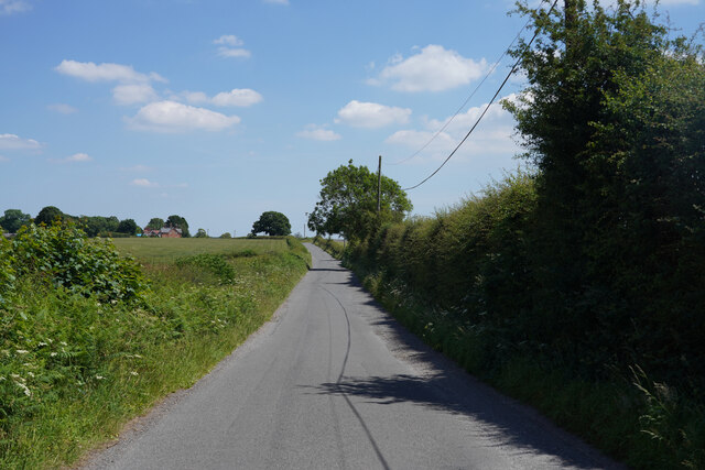
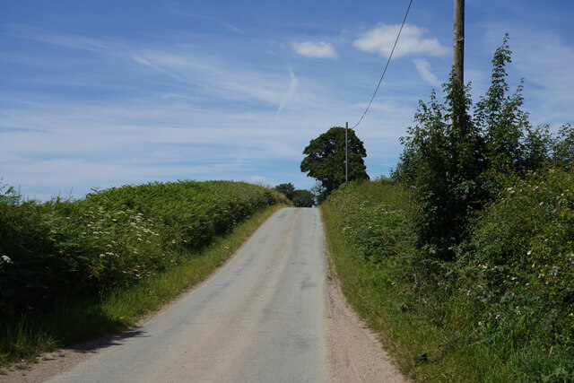
Newborough End is a small village located in the county of Staffordshire, England. Situated approximately 3 miles southeast of the town of Burton upon Trent, it falls within the East Staffordshire district. The village is surrounded by picturesque countryside and is known for its tranquil and rural setting.
Despite its small size, Newborough End has a rich history dating back to medieval times. The village is mentioned in the Domesday Book of 1086, where it is recorded as "Neuberge." The name itself is believed to derive from the Old English words "new" and "burh," meaning "new fortification" or "new borough."
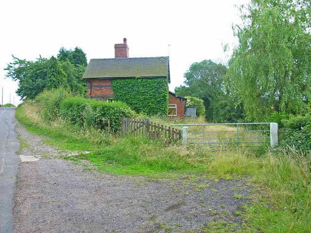
Today, Newborough End is a close-knit community with a population of around 500 residents. The village features a mix of traditional stone-built houses and newer developments, providing a range of housing options for its residents.
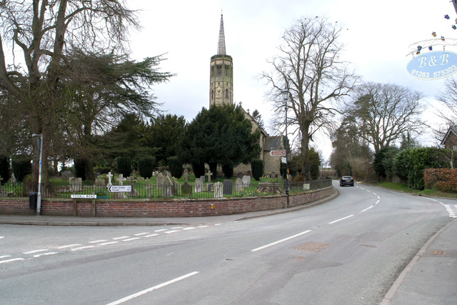
The village benefits from a range of amenities, including a primary school, a village hall, and a church. There is also a local pub that serves as a social hub for both residents and visitors. The surrounding countryside offers ample opportunities for outdoor activities such as walking, cycling, and horse riding.
Newborough End is well-connected to nearby towns and cities via road links, with the A38 and A50 providing easy access to Burton upon Trent, Derby, and Stoke-on-Trent. The village's proximity to these urban centers allows residents to enjoy the benefits of both rural and urban lifestyles.
In conclusion, Newborough End is a charming village with a rich history, picturesque surroundings, and a close-knit community. Its peaceful setting and convenient location make it an attractive place to live for those seeking a blend of rural tranquility and access to nearby amenities.
If you have any feedback on the listing, please let us know in the comments section below.
Newborough End Images
Images are sourced within 2km of 52.811319/-1.8012175 or Grid Reference SK1323. Thanks to Geograph Open Source API. All images are credited.


Newborough End is located at Grid Ref: SK1323 (Lat: 52.811319, Lng: -1.8012175)
Administrative County: Staffordshire
District: East Staffordshire
Police Authority: Staffordshire
What 3 Words
///thudded.garage.subtitle. Near Abbots Bromley, Staffordshire
Nearby Locations
Related Wikis

Church of the Holy Angels, Hoar Cross
The Church of the Holy Angels is an Anglican church in Hoar Cross, Staffordshire, England. It is a Grade I listed building. == History == It was built...
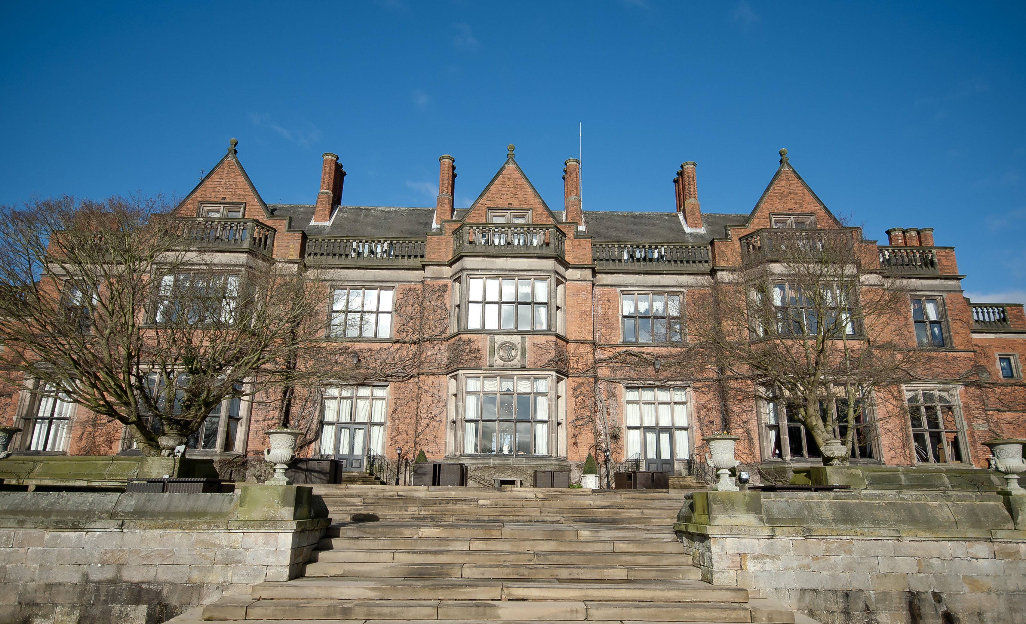
Hoar Cross Hall
Hoar Cross Hall is a 19th-century country mansion near the villages of Hoar Cross and Hamstall Ridware, Staffordshire. England. The Grade II listed building...
Newborough, Staffordshire
Newborough is a village and civil parish in the county of Staffordshire, England. It is located 3 miles (5 km) south west of Hanbury and 8 miles (13 km...

Hoar Cross
Hoar Cross is a small village and civil parish in the Borough of East Staffordshire, situated approximately 7 miles (11 km) west of Burton upon Trent....

Tatenhill Airfield
Tatenhill Airfield (ICAO: EGBM) is a licensed airfield operated by Tatenhill Aviation Ltd. Its CAA Ordinary Licence (Number P813) allows flights for the...
RAF Tatenhill
RAF Tatenhill is a former Royal Air Force satellite airfield in Tatenhill, Staffordshire, England, 4 NM (7.4 km; 4.6 mi) west of Burton on Trent. It was...
St George's Park National Football Centre
St George's Park (SGP) is the English Football Association's national football centre (NFC) built on a 330-acre (130 ha) site at Burton upon Trent, Staffordshire...

Byrkley Lodge
Byrkley Lodge was a country house and later racing horse stud farm, located close to Burton on Trent, Staffordshire. Demolished in 1953, its former grounds...
Nearby Amenities
Located within 500m of 52.811319,-1.8012175Have you been to Newborough End?
Leave your review of Newborough End below (or comments, questions and feedback).