New Gilston

Settlement in Fife

Scotland

New Gilston

Falfield steading Residential development of former farm buildings.
Falfield steading Credit: James Allan

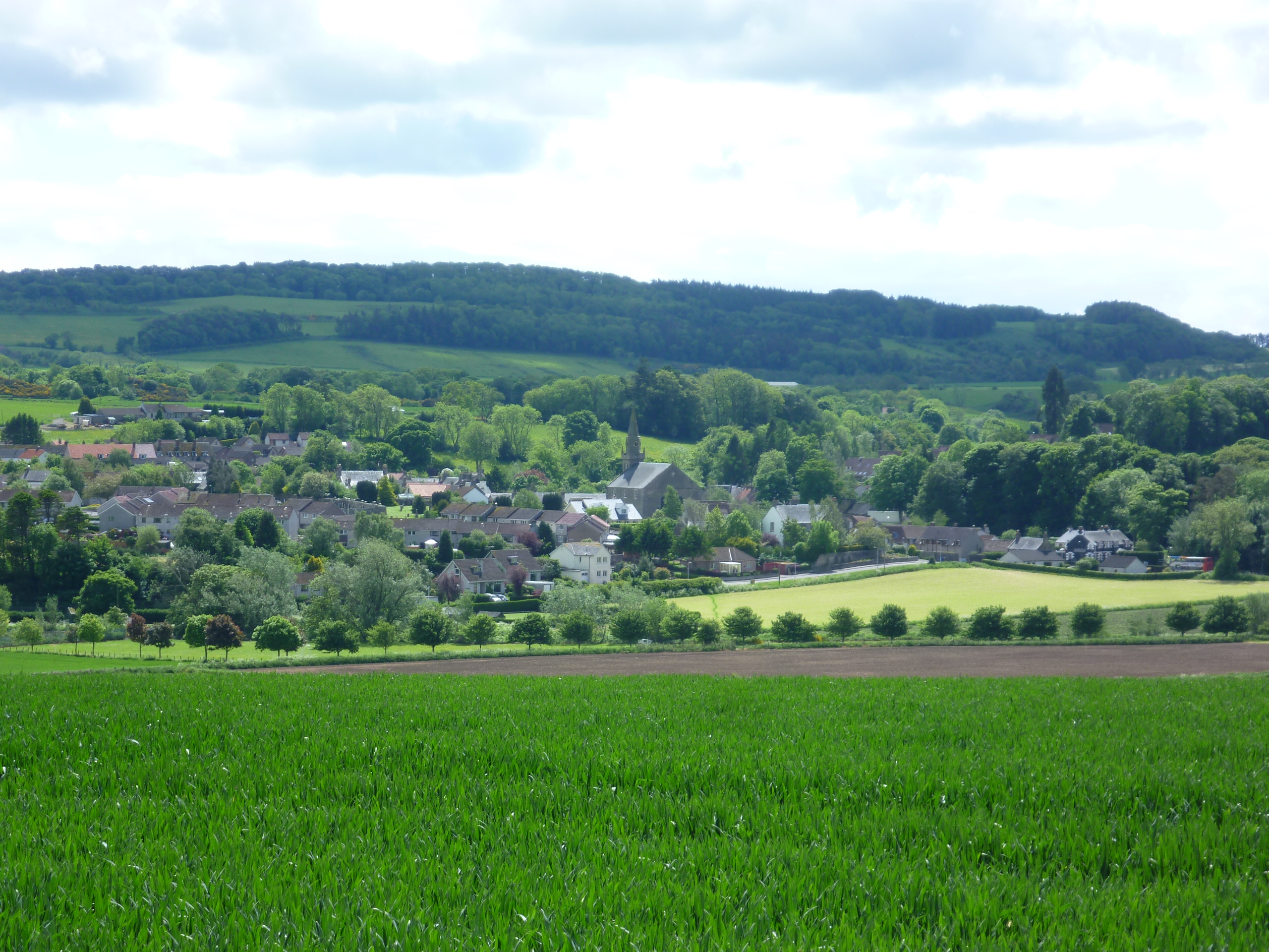
New Gilston is a small village located in the county of Fife, Scotland. Situated approximately 5 miles south of the town of Glenrothes, it is nestled amidst the picturesque countryside of the region. The village enjoys a tranquil setting and offers a peaceful and relaxed lifestyle to its residents.

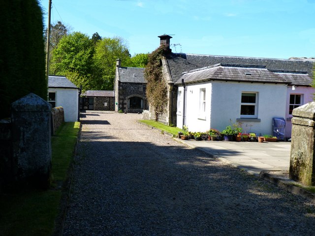
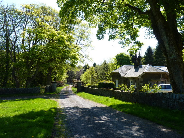
The village is characterized by its charming and well-maintained traditional stone cottages, which give it a distinct rural charm. The community is tightly knit, with a friendly and welcoming atmosphere. The residents take great pride in their village and actively participate in local events and initiatives.

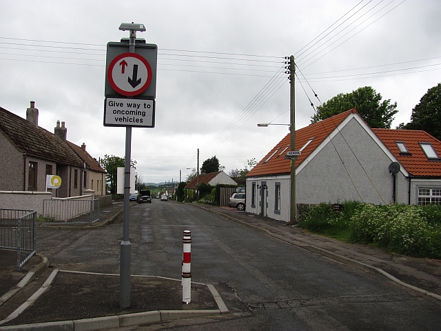
While New Gilston is primarily a residential area, it benefits from its proximity to nearby towns and cities. The village offers easy access to the amenities and facilities of Glenrothes, including shops, supermarkets, schools, and healthcare services. The town also provides excellent transport links, allowing residents to easily travel to other destinations in Fife and beyond.

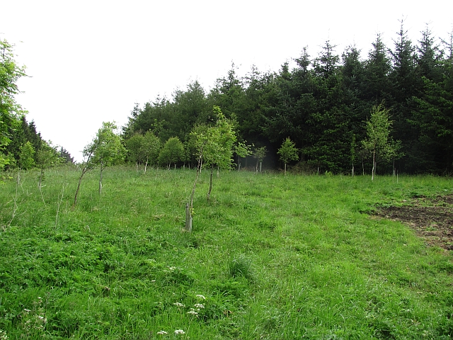
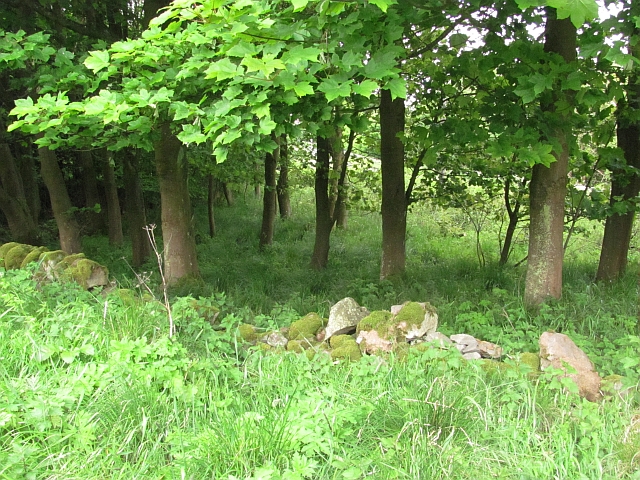
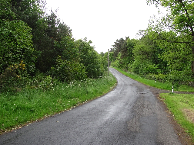
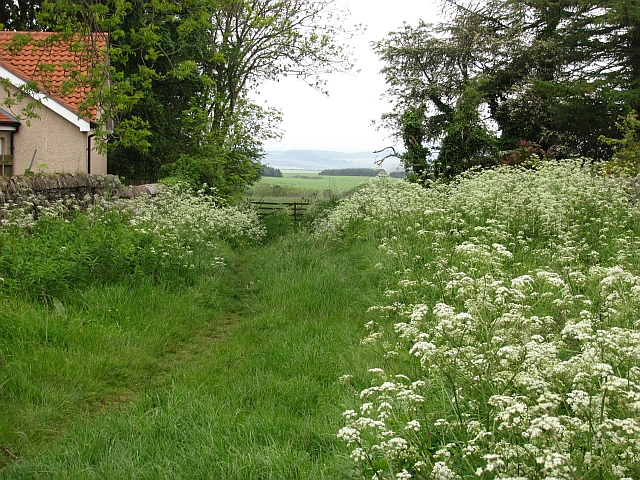
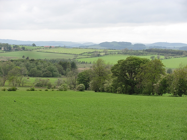
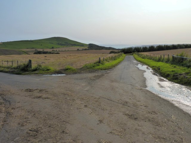
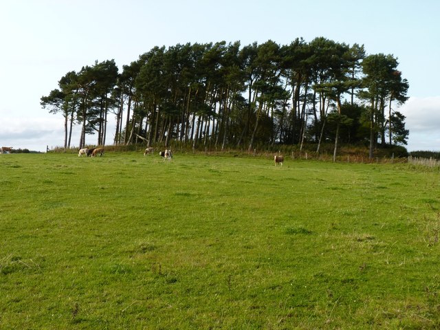
Surrounded by lush green fields and rolling hills, New Gilston provides ample opportunities for outdoor activities. The area offers scenic walking and cycling routes, ideal for nature enthusiasts and those who enjoy exploring the countryside. Additionally, the village is within close proximity to several golf courses, providing a haven for golf lovers.

In summary, New Gilston is a charming and peaceful village that offers a rural lifestyle with easy access to nearby amenities. With its picturesque surroundings and strong community spirit, it is an idyllic place to call home.

If you have any feedback on the listing, please let us know in the comments section below.
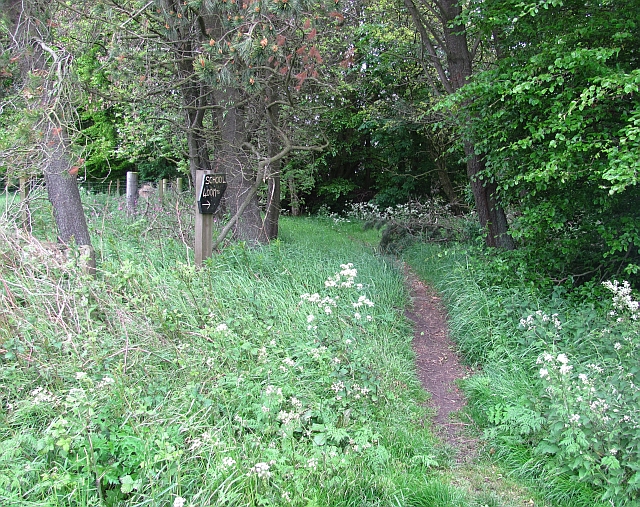
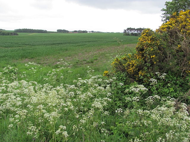
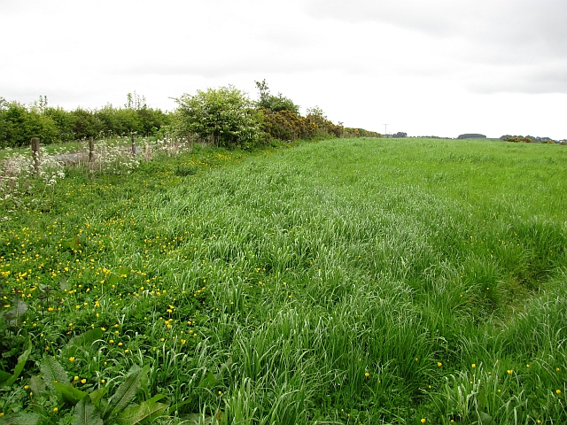
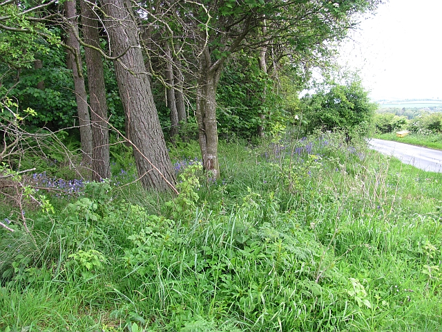
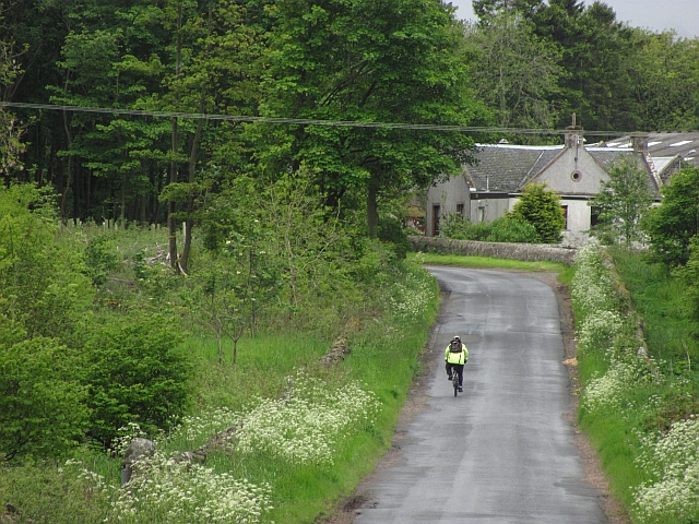
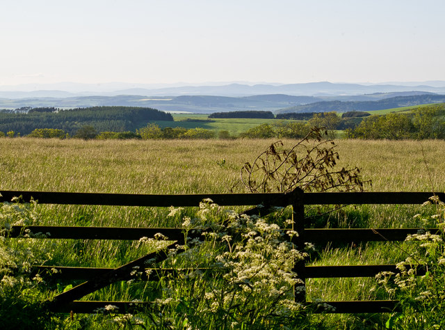
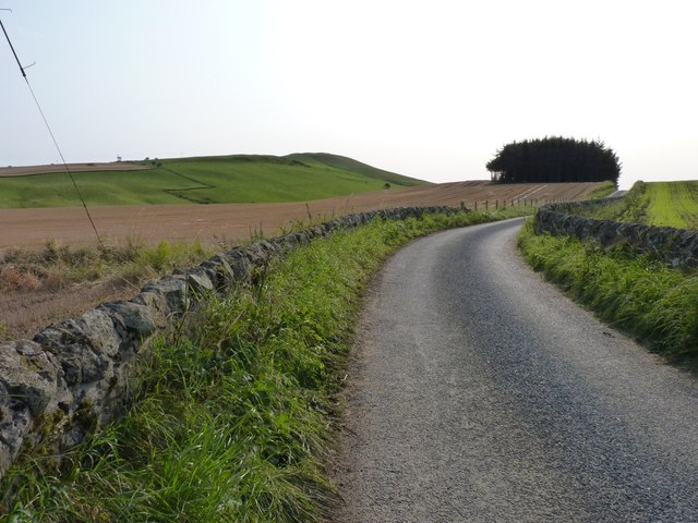
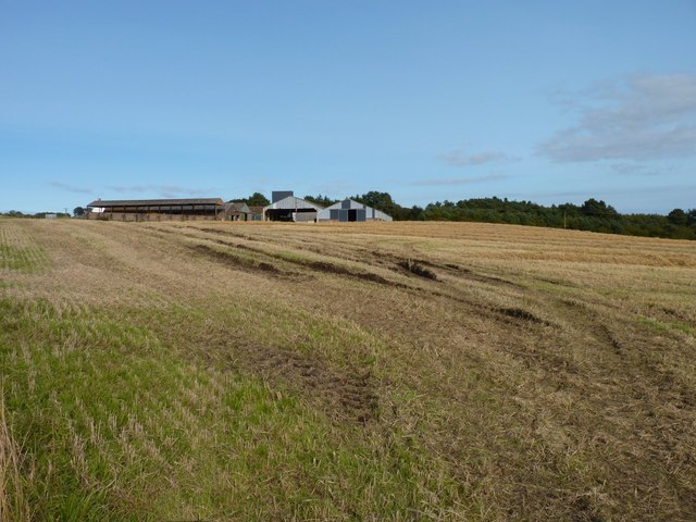
New Gilston Images

Images are sourced within 2km of 56.262286/-2.9199782 or Grid Reference NO4308. Thanks to Geograph Open Source API. All images are credited.

Falfield steading Residential development of former farm buildings.
Falfield steading
Residential development of former farm buildings.
Gilston North Lodge The entrance gate to Gilston estate, in rather different weather than when <a href="https://www.geograph.org.uk/photo/97054">NO4407 : North gate to Gilston House</a> was taken.
Gilston North Lodge
The entrance gate to Gilston estate, in rather different weather than when NO4407 : North gate to Gilston House was taken.
Woodland, Falfield A young woodland on former agricultural land.
Woodland, Falfield
A young woodland on former agricultural land.
Woodland, Falfield
Woodland, Falfield
Minor road, Gilston A road passing dense woodland and Gilston North Lodge.
Minor road, Gilston
A road passing dense woodland and Gilston North Lodge.
Path, New Gilston Signposted to the Ceres Road.<a href="https://www.geograph.org.uk/photo/2431317">NO4308 : Path, New Gilston</a>
Path, New Gilston
Signposted to the Ceres Road.NO4308 : Path, New Gilston
New Gilston
New Gilston
Farmland, New Gilston View downhill towards Heather Wood.
Farmland, New Gilston
View downhill towards Heather Wood.
Path, New Gilston It cuts a corner and comes out opposite the school <a href="https://www.geograph.org.uk/photo/2431288">NO4308 : Path, New Gilston</a>
Path, New Gilston
It cuts a corner and comes out opposite the school NO4308 : Path, New Gilston
Arable land, Woodside A wheat field beyond the whins and cow parsley.
Arable land, Woodside
A wheat field beyond the whins and cow parsley.
Field, Baldastard Mains
Woodland, Baldastard Mains A small roadside wood.
Woodland, Baldastard Mains
A small roadside wood.
Road, Falfield The vehicle appears to be a mountain bike fitted with a two stroke engine. Very noisy.
Road, Falfield
The vehicle appears to be a mountain bike fitted with a two stroke engine. Very noisy.
Farmland near New Gilston A view to the north from New Gilston.
Farmland near New Gilston
A view to the north from New Gilston.
Undulating farm road Leading to Balhousie Farm.
Undulating farm road
Leading to Balhousie Farm.
Soft ground The harvester has left some deep wheel tracks in this field at West Gilston Mains.
Soft ground
The harvester has left some deep wheel tracks in this field at West Gilston Mains.
Looking towards Largo View across the shallow valley of the Gilston Burn, with Largo Bay straight ahead and Largo Law on the left horizon.
Looking towards Largo
View across the shallow valley of the Gilston Burn, with Largo Bay straight ahead and Largo Law on the left horizon.
Copse and cattle Looking up from the Boghall Burn glen.
Copse and cattle
Looking up from the Boghall Burn glen.
Show me another place!

New Gilston is located at Grid Ref: NO4308 (Lat: 56.262286, Lng: -2.9199782)

Unitary Authority: Fife

Police Authority: Fife

What 3 Words

///from.partly.smoker. Near Lundin Links, Fife

Related Wikis

Peat Inn

Peat Inn is a hamlet in Fife, Scotland, around 7 miles (11 kilometres) southeast of Cupar on the B940 and 6 miles (10 kilometres) southwest of St Andrews...

Craighall Castle

Craighall Castle is located in Ceres, Fife, Scotland. It was built in 1637 by Sir Thomas Hope but there was a tower of previous land owners before 1637...

Largoward

Largoward is a village in East Fife, Scotland, lying on the road from Leven to St Andrews in the Riggin o Fife, 4½ miles north-east of Lower Largo and...

Pitscottie

Pitscottie is a village in the Parish of Ceres, Fife, situated on the Ceres Burn at a road junction to the south of Dura Den and 3 miles (5 km) southeast...

Lathones

Lathones (/lə'θonz/) is a village in Fife, Scotland, located approximately six miles (10 km) south west of St Andrews, in the parish of Cameron in the...

Newburn, Fife

Newburn is a civil parish in the County of Fife in Scotland. It is located on the north coast of the Firth of Forth and bounded by the parishes of Kilconquhar...

Ceres, Fife

Ceres is a village in Fife, Scotland, located in a small glen approximately 2 miles (3 km) over the Ceres Moor from Cupar and 7 mi (11 km) from St Andrews...

Upper Largo

Upper Largo or Kirkton of Largo is a village in the parish of Largo, near the East Neuk of Fife, Scotland. It rests on the southern slopes of Largo Law...

Nearby Amenities

Located within 500m of 56.262286,-2.9199782
Power: pole
Lat/Long: 56.2604562/-2.9238652
New Gilston
Place: hamlet
Lat/Long: 56.2626422/-2.9191816
Power: pole
Lat/Long: 56.2609176/-2.9244199
Power: pole
Lat/Long: 56.2614601/-2.9250243
Power: pole
Lat/Long: 56.2622417/-2.9258993
Power: pole
Lat/Long: 56.263007/-2.9267495
Power: pole
Lat/Long: 56.2637616/-2.9275864
Power: pole
Lat/Long: 56.2617119/-2.9122675
Power: pole
Lat/Long: 56.2615093/-2.9140592
Power: pole
Lat/Long: 56.2613171/-2.9158187
Power: pole
Lat/Long: 56.2610937/-2.9176051
Power: pole
Lat/Long: 56.2609164/-2.9191956
Power: pole
Lat/Long: 56.2607242/-2.9206923
Power: pole
Lat/Long: 56.2605216/-2.9224277
Power: pole
Lat/Long: 56.2603533/-2.9237822
Power: pole
Lat/Long: 56.2606375/-2.9270709
Power: pole
Lat/Long: 56.2609684/-2.9259706
Power: pole
Lat/Long: 56.2612408/-2.9249919
Power: pole
Lat/Long: 56.2615244/-2.9239869
Power: pole
Lat/Long: 56.2617877/-2.9230264
Power: pole
Lat/Long: 56.2619824/-2.9222625
Power: pole
Lat/Long: 56.2631731/-2.9159789
Power: pole
Lat/Long: 56.2633272/-2.9148969
Power: pole
Lat/Long: 56.263316/-2.9138858
Power: pole
Lat/Long: 56.2634668/-2.9128098
The data included in this document is from www.openstreetmap.org. The data is made available under ODbL.

Have you been to New Gilston?

Leave your review of New Gilston below (or comments, questions and feedback).