Navestock Common
Settlement in Essex Brentwood
England
Navestock Common

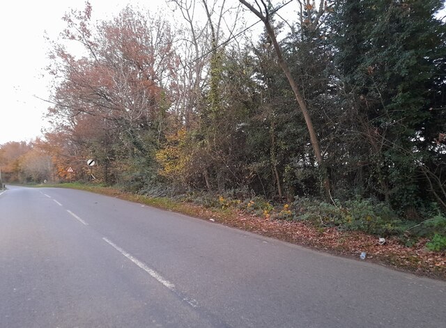
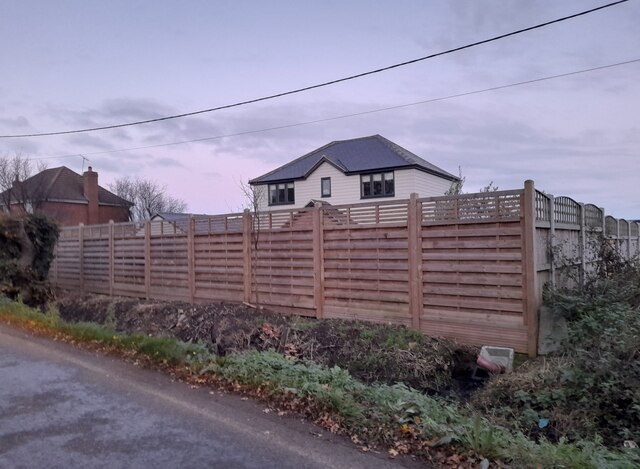
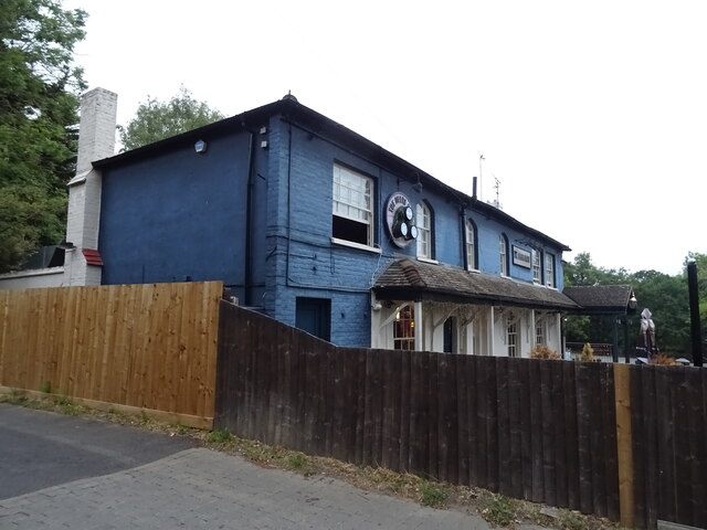
Navestock Common is a picturesque rural area located in the county of Essex, England. Situated near the village of Navestock, it covers an expansive area of approximately 100 acres. The common is characterized by its diverse landscape, encompassing open fields, woodland, and meadows, which provide a haven for various wildlife species.
The common is renowned for its natural beauty and tranquility, making it a popular destination for nature lovers and outdoor enthusiasts. It offers a range of activities such as walking, birdwatching, and picnicking, attracting visitors from the local area and beyond. The well-maintained footpaths and bridleways ensure easy access for visitors to explore the surroundings.
One of the notable features of Navestock Common is the presence of several ponds, which serve as important habitats for amphibians, insects, and waterfowl. These ponds also contribute to the scenic charm of the area, especially during the summer months when they are adorned with vibrant water lilies and other aquatic plants.
The common is managed by the local authorities, who strive to preserve its natural heritage and protect its diverse ecosystem. As a result, visitors can enjoy a rich array of flora and fauna, including wildflowers, butterflies, and various bird species.
Navestock Common offers a peaceful retreat from the hustle and bustle of urban life, providing an opportunity to connect with nature and enjoy the serene surroundings. Whether it's a leisurely stroll through the meadows or a moment of quiet reflection by the pond, this idyllic location promises a delightful experience for all who visit.
If you have any feedback on the listing, please let us know in the comments section below.
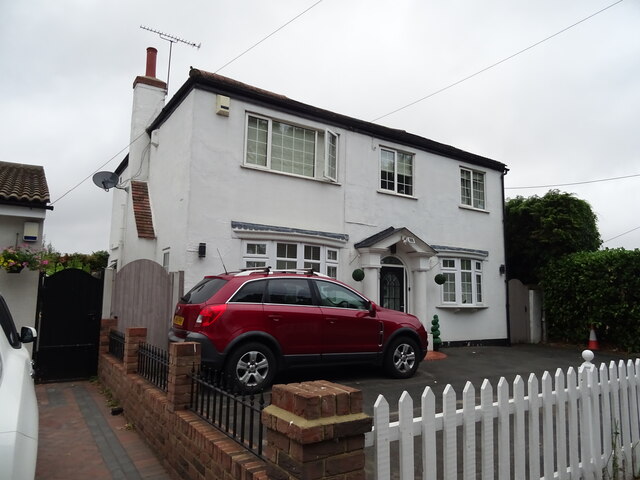
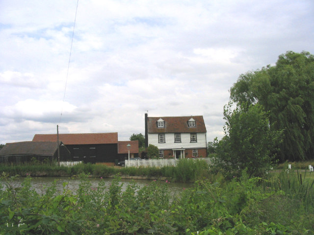
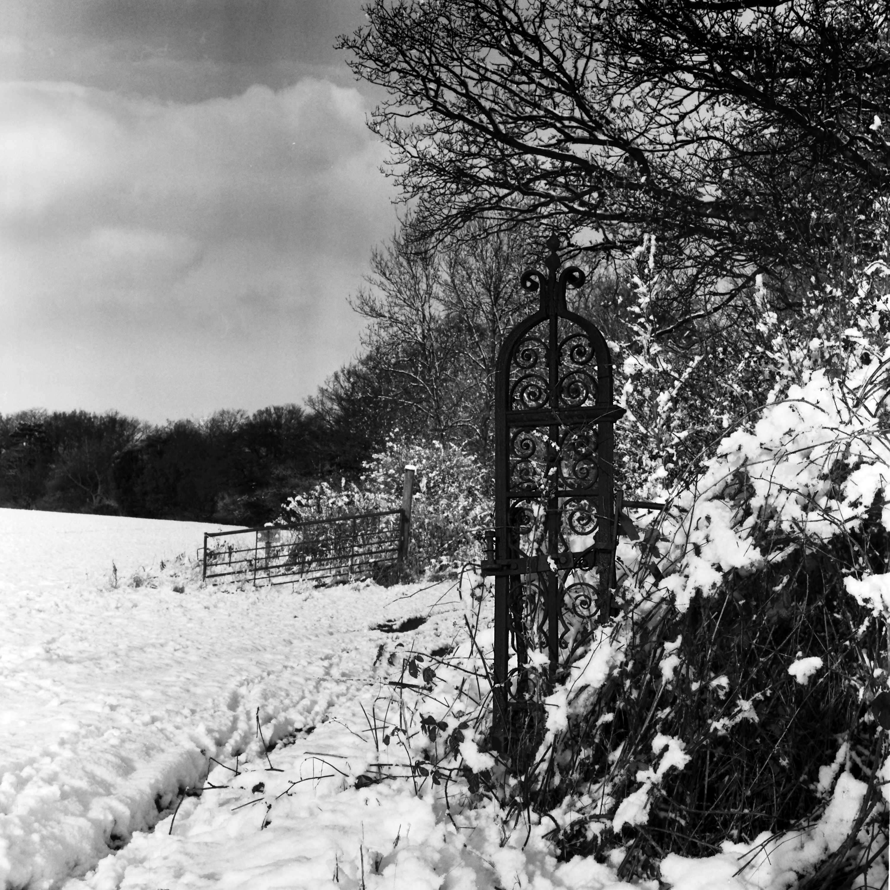
Navestock Common Images
Images are sourced within 2km of 51.63183/0.20455681 or Grid Reference TQ5294. Thanks to Geograph Open Source API. All images are credited.


Navestock Common is located at Grid Ref: TQ5294 (Lat: 51.63183, Lng: 0.20455681)
Administrative County: Essex
District: Brentwood
Police Authority: Essex
What 3 Words
///being.gone.bound. Near Harold Wood, London
Nearby Locations
Related Wikis
Watton's Green
Watton's Green or Wattons Green is a hamlet near the M25 motorway, in the Brentwood, in the county of Essex, England. It is located about 4 miles away...

Waterhales
Waterhales is a hamlet and a farm near the M25 motorway, in the Brentwood District, in the county of Essex, England. It is located about three miles away...
Pyrgo Park
Pyrgo Park is a park at Havering-atte-Bower in the London Borough of Havering, in North East London, England. It is the site of the former Pirgo Palace...

Havering-atte-Bower
Havering-atte-Bower () is a village in Greater London, England, in the far north of the London Borough of Havering. The village lies 15 miles (24 km) northeast...
Nearby Amenities
Located within 500m of 51.63183,0.20455681Have you been to Navestock Common?
Leave your review of Navestock Common below (or comments, questions and feedback).