Mynydd-Garn-Lwyd

Settlement in Glamorgan

Wales

Mynydd-Garn-Lwyd

Benchmark on Railway Bridge This tiny Benchmark can be found on the SW buttress of the railway bridge on Nantong Way.
Benchmark on Railway Bridge Credit: Adrian Dust

The requested URL returned error: 429 Too Many Requests

If you have any feedback on the listing, please let us know in the comments section below.

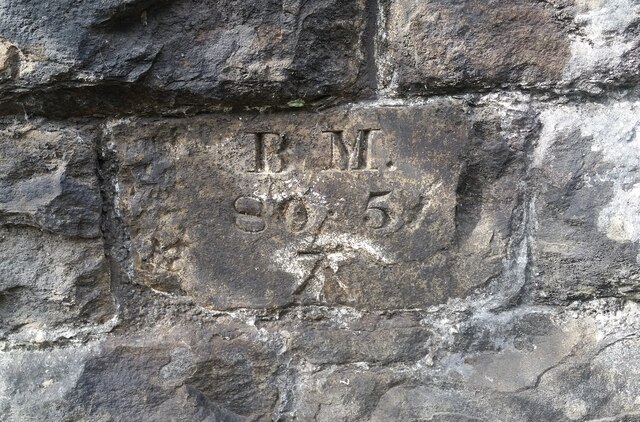
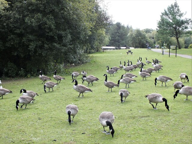
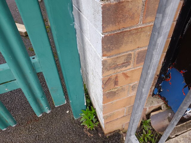
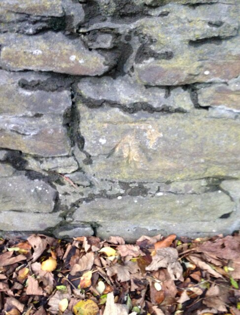
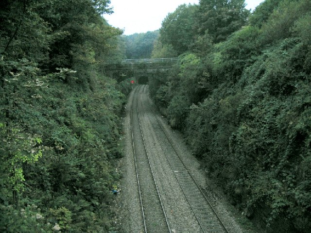
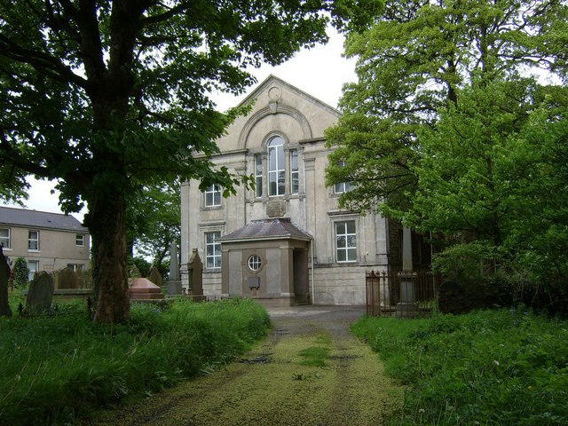
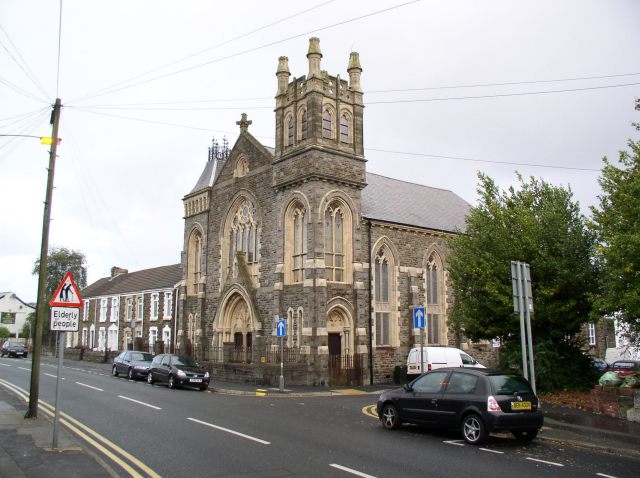
Mynydd-Garn-Lwyd Images

Images are sourced within 2km of 51.659243/-3.9432204 or Grid Reference SS6597. Thanks to Geograph Open Source API. All images are credited.

Benchmark on Railway Bridge This tiny Benchmark can be found on the SW buttress of the railway bridge on Nantong Way.
Benchmark on Railway Bridge
This tiny Benchmark can be found on the SW buttress of the railway bridge on Nantong Way.
Canada Geese, Llyn y Fendrod, Llansamlet, Swansea
Ordnance Survey Cut Mark This OS cut mark can be found on the SW angle of the school. It marks a point 153.278m above mean sea level.
Ordnance Survey Cut Mark
This OS cut mark can be found on the SW angle of the school. It marks a point 153.278m above mean sea level.
Llangyfelach Road Wall, Cut Mark Swansea Cut Mark on wall at Llangyfelach Road.
Llangyfelach Road Wall, Cut Mark Swansea
Cut Mark on wall at Llangyfelach Road.
Cut Mark at Tirdeunaw Close on pillar at junction Cut mark on stone pillar at junction of Llangyfelach Road and Tirdeunaw Close, Swansea
Cut Mark at Tirdeunaw Close on pillar at junction
Cut mark on stone pillar at junction of Llangyfelach Road and Tirdeunaw Close, Swansea
Benchmark Cut Mark: Swansea,  at 27 Penfilia Road A possible Bench Mark found next to telephone style box at Penfilia Road, Swansea
Benchmark Cut Mark: Swansea, at 27 Penfilia Road
A possible Bench Mark found next to telephone style box at Penfilia Road, Swansea
New Morfa Stadium Swansea's new Football & Rugby 'Liberty Stadium' next to the River Tawe, near the Morfa retail park.
New Morfa Stadium
Swansea's new Football & Rugby 'Liberty Stadium' next to the River Tawe, near the Morfa retail park.
Ruin of former stores at Cnap Llwyd Only 2 corners of masonry remain from this building high on wasteland. This is the view south out to Swansea Bay.
Ruin of former stores at Cnap Llwyd
Only 2 corners of masonry remain from this building high on wasteland. This is the view south out to Swansea Bay.
Ruin on Cnap Llwyd, seen from below The odd corner ruins look like mysterious towers from a distance.
Ruin on Cnap Llwyd, seen from below
The odd corner ruins look like mysterious towers from a distance.
Llewelyn Park A large and sprawling park on a hillside.
Llewelyn Park
A large and sprawling park on a hillside.
Cwmgelli Cemetery A secluded cemetery with some slightly unusual trees.
Cwmgelli Cemetery
A secluded cemetery with some slightly unusual trees.
Bishop Vaughan Roman Catholic School An unusually distinctive school building.
Bishop Vaughan Roman Catholic School
An unusually distinctive school building.
The DVLA at Morriston Or the "DVLC" in old money. This photo cannot possibly convey how much this place looks like it was designed by Gerry Anderson for use in the original Thunderbirds series. It's from the time that architecture forgot.
The DVLA at Morriston
Or the "DVLC" in old money. This photo cannot possibly convey how much this place looks like it was designed by Gerry Anderson for use in the original Thunderbirds series. It's from the time that architecture forgot.
Morriston Cemetery This is quite a large cemetery. The photo represents only about a quarter of the place. The cemetery is immediately adjacent to the DVLA. There's only 2 certainties in life: Death & Taxes - and they're both right here together in Morriston.
Morriston Cemetery
This is quite a large cemetery. The photo represents only about a quarter of the place. The cemetery is immediately adjacent to the DVLA. There's only 2 certainties in life: Death & Taxes - and they're both right here together in Morriston.
Railway line at Cwmrhydyceirw This is the view west from a bridge at the north end of Vicarage Road. The area is so dense and built up that this railway goes unnoticed, being cut so deep and narrow. In the distance you can see the west entrance of the Llangyfelach tunnel.
Railway line at Cwmrhydyceirw
This is the view west from a bridge at the north end of Vicarage Road. The area is so dense and built up that this railway goes unnoticed, being cut so deep and narrow. In the distance you can see the west entrance of the Llangyfelach tunnel.
Mynydd-bach chapel The old Independent Chapel on the common at Mynydd-bach near Llangyfelach, Swansea
Mynydd-bach chapel
The old Independent Chapel on the common at Mynydd-bach near Llangyfelach, Swansea
Clase Tower block at Clase, near Morriston, Swansea. Seen from the western edge of the grid square, looking across Mynydd-bach common.
Clase
Tower block at Clase, near Morriston, Swansea. Seen from the western edge of the grid square, looking across Mynydd-bach common.
Church in Landore This church, at the junction of Llangyfelach Road and Bryn Terrace, appears to be unused.  There is no name displayed outside.
Church in Landore
This church, at the junction of Llangyfelach Road and Bryn Terrace, appears to be unused. There is no name displayed outside.
Show me another place!

Mynydd-Garn-Lwyd is located at Grid Ref: SS6597 (Lat: 51.659243, Lng: -3.9432204)

Unitary Authority: Swansea

Police Authority: South Wales

What 3 Words

///sketch.tone.handed. Near Morriston, Swansea

Related Wikis

Bishop Vaughan Catholic School

Bishop Vaughan Catholic School is a coeducational Catholic secondary school in the Morriston area of Swansea. It is under the remit of the Diocese of Menevia...

Mynydd-Bach

Mynydd-Bach or Mynydd-bach is a suburban district and community in the City and County of Swansea, Wales, It falls within the coterminous Mynydd-Bach ward...

Mynyddbach Chapel

Mynyddbach Chapel is the oldest Independent chapel in Swansea, Wales. In about 1640 a group of people met on the Sabbath and on week nights to read the...

Morriston (electoral ward)

Morriston ((Welsh:Treforys or Treforus)) is an electoral ward in Swansea, Wales. It is coterminous with the Morriston community. Morriston is one of two...

Nearby Amenities

Located within 500m of 51.659243,-3.9432204
Mini Roundabout
Lat/Long: 51.6609056/-3.9405048
Turning Circle
Lat/Long: 51.6593541/-3.9425717
Bus Stop
Caersalem Newydd (S)
Bus: yes
Naptan AtcoCode: 5810AWC52103
Naptan Bearing: S
Naptan CommonName: Caersalem Newydd (S)
Naptan Crossing: Heol Ddu
Naptan Landmark: Caersalem Newydd
Naptan NaptanCode: swapamt
Naptan PlusbusZoneRef: SWANSEA
Naptan Street: Llangyfelach Road
Naptan Verified: no
Public Transport: platform
Source: naptan_import
Lat/Long: 51.6585891/-3.9496278
Bus Stop
Caersalem Newydd (E)
Bus: yes
Naptan AtcoCode: 5810AWC52105
Naptan Bearing: E
Naptan CommonName: Caersalem Newydd (E)
Naptan Crossing: Llangyfelach Road
Naptan Landmark: Caersalem Newydd
Naptan NaptanCode: swapamw
Naptan PlusbusZoneRef: SWANSEA
Naptan Street: Mynydd Garnllwyd Road
Naptan Verified: no
Public Transport: platform
Source: naptan_import
Lat/Long: 51.658973/-3.9492539
Bus Stop
Caersalem Newydd (N)
Bench: yes
Bin: yes
Bus: yes
Naptan AtcoCode: 5810AWC52106
Naptan Bearing: N
Naptan CommonName: Caersalem Newydd (N)
Naptan Crossing: Tirdeunaw Close
Naptan NaptanCode: swapapa
Naptan PlusbusZoneRef: SWANSEA
Naptan Street: Llangyfelach Road
Naptan Verified: no
Public Transport: platform
Shelter: yes
Source: naptan_import
Lat/Long: 51.6597766/-3.9501414
Bus Stop
Clase Community Centre (NW)
Bus: yes
Naptan AtcoCode: 5810AWC52138
Naptan Bearing: NW
Naptan CommonName: Clase Community Centre (NW)
Naptan Landmark: Clase Community Centre
Naptan NaptanCode: swadmat
Naptan PlusbusZoneRef: SWANSEA
Naptan ShortCommonName: Carriage House NW
Naptan Street: Long View Road
Naptan Verified: no
Public Transport: platform
Source: naptan_import
Lat/Long: 51.6629693/-3.9425279
Bus Stop
Clase Community Centre (SE)
Bus: yes
Naptan AtcoCode: 5810AWC52139
Naptan Bearing: SE
Naptan CommonName: Clase Community Centre (SE)
Naptan Landmark: Clase Community Centre
Naptan NaptanCode: swadmaw
Naptan PlusbusZoneRef: SWANSEA
Naptan ShortCommonName: Carriage House SE
Naptan Street: Long View Road
Naptan Verified: no
Public Transport: platform
Source: naptan_import
Lat/Long: 51.6627589/-3.9422008
Bus Stop
Rheidol Court (E)
Bus: yes
Naptan AtcoCode: 5810AWC52146
Naptan Bearing: E
Naptan CommonName: Rheidol Court (E)
Naptan Crossing: Solva Road
Naptan NaptanCode: swadmgw
Naptan PlusbusZoneRef: SWANSEA
Naptan Street: Rheidol Avenue
Naptan Verified: no
Public Transport: platform
Source: naptan_import
Lat/Long: 51.6629094/-3.9472249
Bus Stop
Bishop Vaughan RC School Grds
Bus: yes
Naptan AtcoCode: 5810AWC52169
Naptan Bearing: S
Naptan CommonName: Bishop Vaughan RC School Grds
Naptan Crossing: Caemawr Road
Naptan Landmark: Bishop Vaughan RC School
Naptan NaptanCode: swajdwj
Naptan PlusbusZoneRef: SWANSEA
Naptan ShortCommonName: Bishop Vaughan RC Comprehensive School Grounds
Naptan Street: Mynydd Garnllwyd Road
Naptan Verified: no
Public Transport: platform
Source: naptan_import
Lat/Long: 51.6612397/-3.9394464
Bus Stop
Bishop Vaughan RC School (SW)
Bus: yes
Naptan AtcoCode: 5810AWC52170
Naptan Bearing: SW
Naptan CommonName: Bishop Vaughan RC School (SW)
Naptan Landmark: Bishop Vaughan RC School
Naptan NaptanCode: swajdwm
Naptan PlusbusZoneRef: SWANSEA
Naptan ShortCommonName: Bisop Vaughan RC Comprehensive School SW
Naptan Street: Caemawr Road
Naptan Verified: no
Public Transport: platform
Source: naptan_import
Lat/Long: 51.661522/-3.9397765
Bus Stop
Bishop Vaughan RC School (NE)
Bus: yes
Naptan AtcoCode: 5810AWC52171
Naptan Bearing: NE
Naptan CommonName: Bishop Vaughan RC School (NE)
Naptan Crossing: Lon Camlad
Naptan Landmark: Bishop Vaughan RC School
Naptan NaptanCode: swajdwp
Naptan PlusbusZoneRef: SWANSEA
Naptan ShortCommonName: Bishop Vaughan RC Comprehensive School NE
Naptan Street: Caemawr Road
Naptan Verified: no
Public Transport: platform
Source: naptan_import
Lat/Long: 51.6623724/-3.9394658
Bus Stop
Severn Road (NE)
Bus: yes
Naptan AtcoCode: 5810AWO26230
Naptan Bearing: NE
Naptan CommonName: Severn Road (NE)
Naptan Crossing: Severn Road
Naptan NaptanCode: swadmjm
Naptan PlusbusZoneRef: SWANSEA
Naptan Street: Solva Road
Naptan Verified: no
Public Transport: platform
Source: naptan_import
Lat/Long: 51.6602303/-3.9471823
Bus Stop
Ewenny Place (NE)
Bus: yes
Naptan AtcoCode: 5810AWO26232
Naptan Bearing: NE
Naptan CommonName: Ewenny Place (NE)
Naptan Crossing: Ewenny Place
Naptan NaptanCode: swadmdm
Naptan PlusbusZoneRef: SWANSEA
Naptan Street: Solva Road
Naptan Verified: no
Public Transport: platform
Source: naptan_import
Lat/Long: 51.6612061/-3.9447371
Bus Stop
Julian`s (NE)
Bus: yes
Naptan AtcoCode: 5810AWO26233
Naptan Bearing: NE
Naptan CommonName: Julian`s (NE)
Naptan Crossing: Creswell Road
Naptan NaptanCode: swadmgp
Naptan PlusbusZoneRef: SWANSEA
Naptan Street: Solva Road
Naptan Verified: no
Public Transport: platform
Source: naptan_import
Lat/Long: 51.6616662/-3.9430217
Place Of Worship
Caersalem
Religion: christian
Lat/Long: 51.6584106/-3.9500719
Pub
The Eagle pub
Addr Street: Treboeth
Description: Pub and restaurant
Wikidata: Q80585340
Lat/Long: 51.6570308/-3.949336
Lifestyle Express
Addr Housenumber: 861-863
Addr Street: Llangyfelach Rd, Tre-boeth, Swansea SA5 9AU
Brand: Lifestyle Express
Brand Wikidata: Q61994869
Description: General store
Phone: +44 1792 701321
Shop: convenience
Website: https://www.best-one.co.uk
Lat/Long: 51.6575373/-3.9493432
Direction: WSW
Generator Method: photovoltaic
Generator Output Electricity: yes
Generator Solar Modules: 12
Generator Source: solar
Generator Type: solar_photovoltaic_panel
Location: roof
Power: generator
Lat/Long: 51.66139/-3.9415477
Direction: SSE
Generator Method: photovoltaic
Generator Output Electricity: yes
Generator Solar Modules: 16
Generator Source: solar
Generator Type: solar_photovoltaic_panel
Location: roof
Power: generator
Lat/Long: 51.6608118/-3.941421
Direction: SSE
Generator Method: photovoltaic
Generator Output Electricity: yes
Generator Solar Modules: 12
Generator Source: solar
Generator Type: solar_photovoltaic_panel
Location: roof
Power: generator
Lat/Long: 51.6607818/-3.9415189
Direction: WSW
Generator Method: photovoltaic
Generator Output Electricity: yes
Generator Solar Modules: 12
Generator Source: solar
Generator Type: solar_photovoltaic_panel
Location: roof
Power: generator
Lat/Long: 51.6613026/-3.9409429
Direction: 265
Generator Method: photovoltaic
Generator Output Electricity: yes
Generator Solar Modules: 14
Generator Source: solar
Generator Type: solar_photovoltaic_panel
Location: roof
Power: generator
Lat/Long: 51.6570485/-3.9476429
Direction: 145
Generator Method: photovoltaic
Generator Output Electricity: yes
Generator Solar Modules: 6
Generator Source: solar
Generator Type: solar_photovoltaic_panel
Location: roof
Power: generator
Lat/Long: 51.6567045/-3.945553
Direction: 145
Generator Method: photovoltaic
Generator Output Electricity: yes
Generator Solar Modules: 10
Generator Source: solar
Generator Type: solar_photovoltaic_panel
Location: roof
Power: generator
Lat/Long: 51.656695/-3.9456703
Direction: 165
Generator Method: photovoltaic
Generator Output Electricity: yes
Generator Solar Modules: 14
Generator Source: solar
Generator Type: solar_photovoltaic_panel
Location: roof
Power: generator
Lat/Long: 51.6572513/-3.9393759
Direction: 190
Generator Method: photovoltaic
Generator Output Electricity: yes
Generator Solar Modules: 16
Generator Source: solar
Generator Type: solar_photovoltaic_panel
Location: roof
Power: generator
Lat/Long: 51.6578808/-3.9388197
Direction: 165
Generator Method: photovoltaic
Generator Output Electricity: yes
Generator Solar Modules: 18
Generator Source: solar
Generator Type: solar_photovoltaic_panel
Location: roof
Power: generator
Lat/Long: 51.6584624/-3.9432987
The data included in this document is from www.openstreetmap.org. The data is made available under ODbL.

Have you been to Mynydd-Garn-Lwyd?

Leave your review of Mynydd-Garn-Lwyd below (or comments, questions and feedback).