Myerscough
Settlement in Lancashire Wyre
England
Myerscough
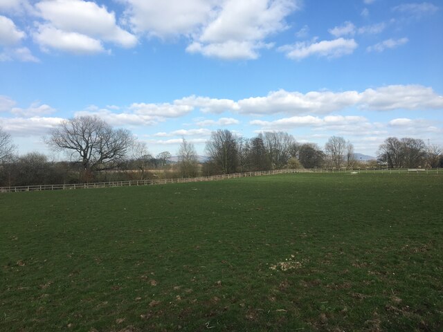
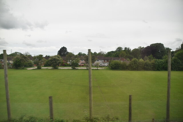
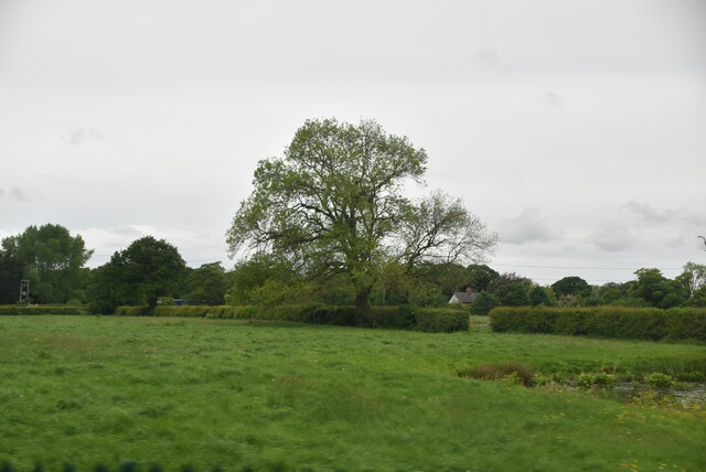
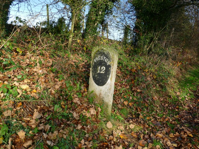
Myerscough is a small village located in the county of Lancashire, England. Situated approximately 6 miles north of the city of Preston, it falls within the civil parish of Bilsborrow. The village is surrounded by picturesque countryside, with the River Brock flowing nearby.
Despite its small size, Myerscough is known for its rich agricultural heritage. The area is predominantly rural, with vast farmlands and fields dotted with grazing livestock. The village is home to Myerscough College, one of the largest land-based colleges in the UK. The college offers a range of courses related to agriculture, horticulture, and animal studies, attracting students from all over the country.
In addition to its agricultural focus, Myerscough offers a tranquil and close-knit community. It has a small number of residential properties, including traditional cottages and newer developments. The village is served by a local pub, The Stumble Inn, providing a gathering place for locals and visitors alike.
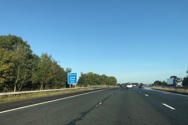
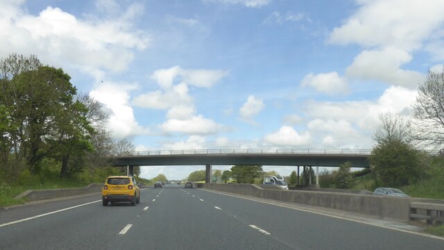
The surrounding area offers plenty of opportunities for outdoor activities. The nearby Brockholes Nature Reserve is a popular destination for birdwatching and nature walks, with its diverse range of habitats and wildlife. For those seeking more urban amenities, the city of Preston is easily accessible, offering a wide range of shopping, dining, and entertainment options.
Overall, Myerscough is a charming village with a strong agricultural heritage and a close community. Its idyllic location and proximity to both nature and urban amenities make it an attractive place to live or visit.
If you have any feedback on the listing, please let us know in the comments section below.
Myerscough Images
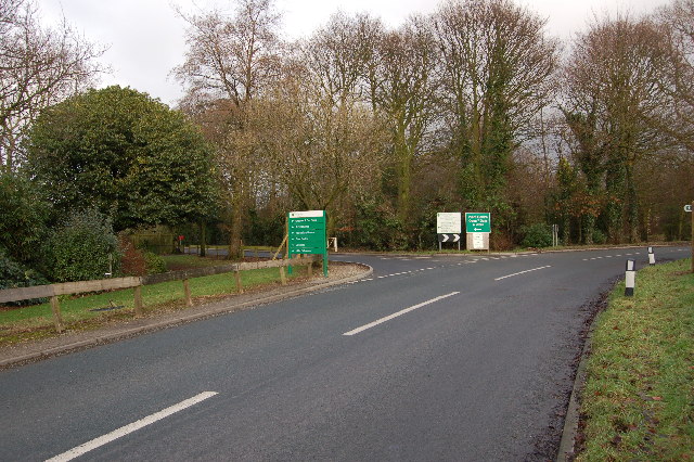
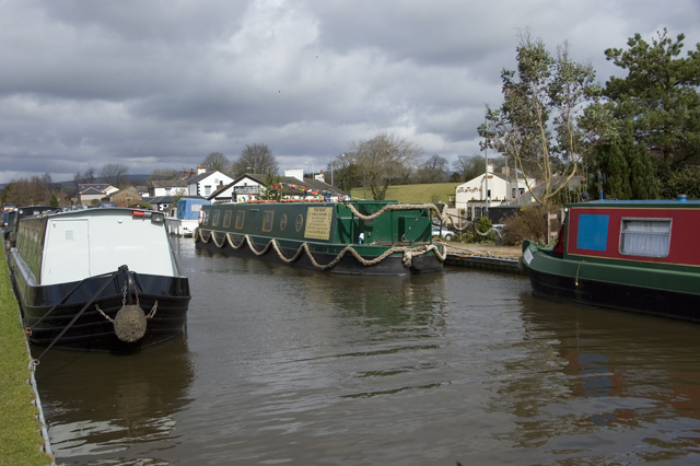
Images are sourced within 2km of 53.849629/-2.7588224 or Grid Reference SD5039. Thanks to Geograph Open Source API. All images are credited.


Myerscough is located at Grid Ref: SD5039 (Lat: 53.849629, Lng: -2.7588224)
Administrative County: Lancashire
District: Wyre
Police Authority: Lancashire
What 3 Words
///sardine.shunted.ferrying. Near Catterall, Lancashire
Nearby Locations
Related Wikis

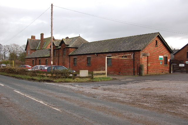
Myerscough College
Myerscough College (pronounced as Myers-coe) is a Higher and Further Education college near Bilsborrow on the Fylde in Lancashire, England. == Origins... ==
Myerscough and Bilsborrow
Myerscough and Bilsborrow () is a civil parish in the Borough of Wyre in Lancashire, England. It was formed on 1 April 2003 as a merger of the former parishes...
Bilsborrow
Bilsborrow is a village and former civil parish, now in the parish of Myerscough and Bilsborrow, in the Wyre district, in the county of Lancashire, England...
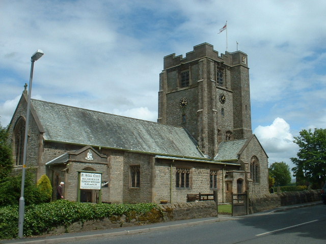
St Hilda's Church, Bilsborrow
St Hilda's Church is in Bilsborrow Lane in the village of Bilsborrow, Lancashire, England. It is an active Anglican parish church in the deanery of Garstang...
Nearby Amenities
Located within 500m of 53.849629,-2.7588224Have you been to Myerscough?
Leave your review of Myerscough below (or comments, questions and feedback).