Morley St Peter

Settlement in Norfolk South Norfolk

England

Morley St Peter

The A11 west passing under Silver Street bridge, Wymondham
The A11 west passing under Silver Street bridge, Wymondham Credit: Roy Hughes

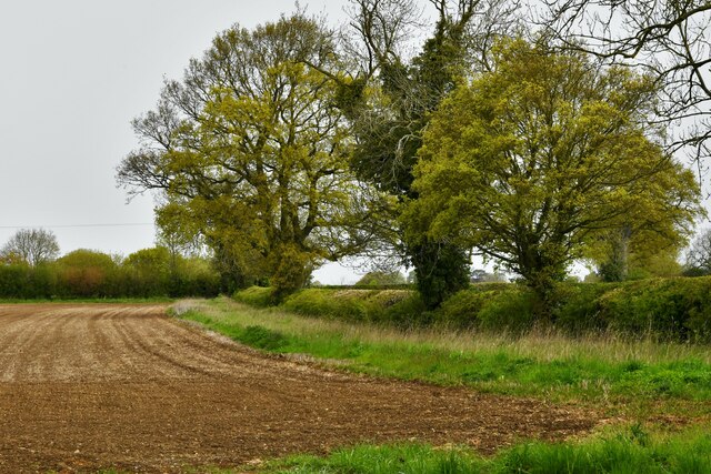
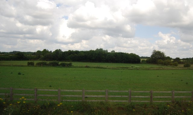
Morley St Peter is a small village located in the county of Norfolk, England. Situated approximately 10 miles south-west of the city of Norwich, it falls within the South Norfolk district. The village is nestled amidst the picturesque Norfolk countryside, surrounded by fields and meadows.

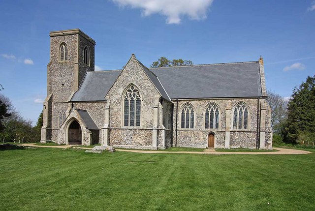
With a population of around 300 residents, Morley St Peter has a close-knit community atmosphere. The village is known for its historic charm, with many buildings dating back several centuries. St Peter's Church, a Grade I listed building, stands as a prominent feature in the village. Built in the 14th century, it showcases beautiful architecture and intricate stained glass windows.

The village also boasts several traditional thatched cottages, adding to its quaint and idyllic character. Alongside the residential properties, there is a village hall and a primary school, providing essential amenities for the local community.

Surrounded by lush greenery, Morley St Peter offers ample opportunities for outdoor activities and exploration. The area is known for its scenic walking trails and cycling routes, allowing residents and visitors to enjoy the natural beauty of the Norfolk countryside.

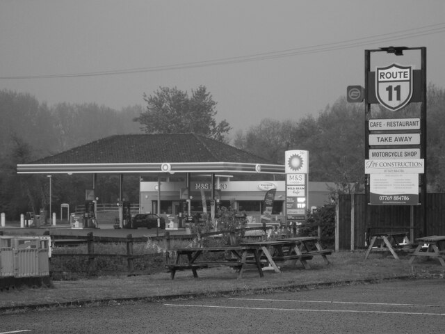
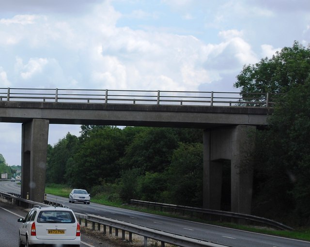
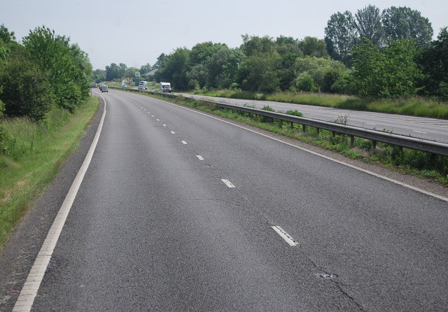
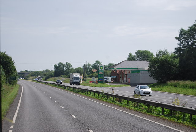
Although small in size, Morley St Peter benefits from its proximity to nearby towns and cities, offering easy access to amenities and services. The village is well-connected by road, with the A47 passing nearby, providing convenient links to Norwich and other towns in Norfolk.

Overall, Morley St Peter embodies the charm and tranquility of a typical Norfolk village, making it an appealing destination for those seeking a peaceful rural retreat.

If you have any feedback on the listing, please let us know in the comments section below.

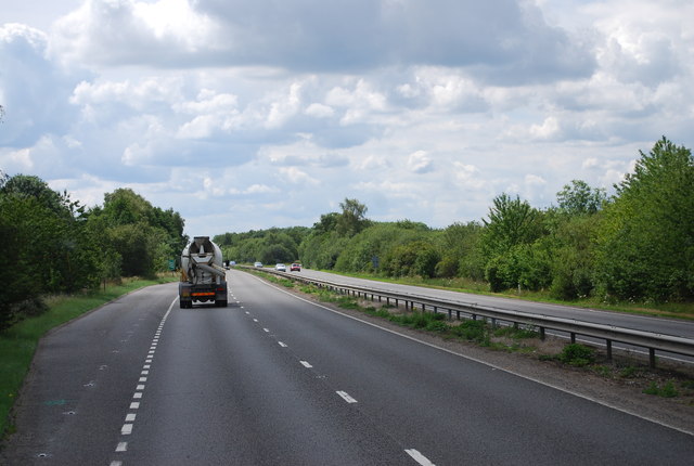
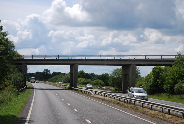
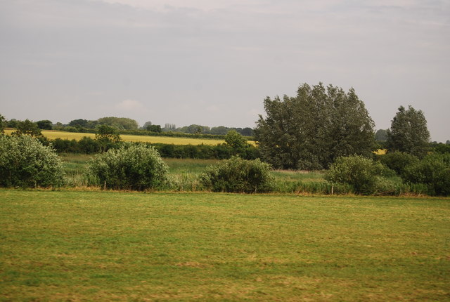
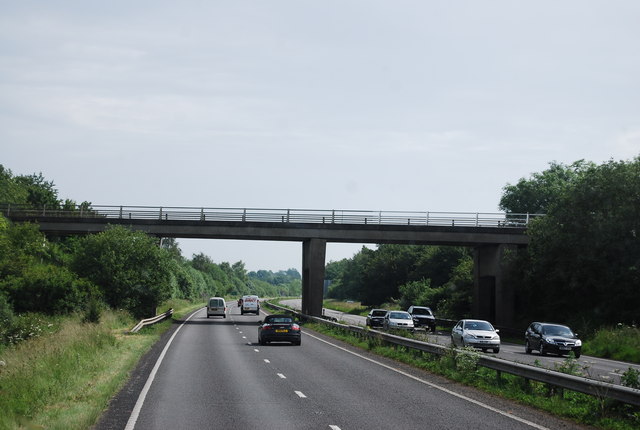
Morley St Peter Images

Images are sourced within 2km of 52.539648/1.0422881 or Grid Reference TM0697. Thanks to Geograph Open Source API. All images are credited.

The A11 west passing under Silver Street bridge, Wymondham
The A11 west at Diss B1077 half a mile sign
The A11 west exit for the B1077 Attleborough
The A11 west at slip road for B1077
Study of a Gasoline Station BP, Besthorpe.

 This photograph is part of a series taken in homage to the American artist Ed Ruscha's 1963 publication of 'Twentysix Gasoline Stations'.
 More properly known as filling stations in the UK, I am attempting to photograph as many as possible to mark the sixty year anniversary.
Study of a Gasoline Station
BP, Besthorpe. This photograph is part of a series taken in homage to the American artist Ed Ruscha's 1963 publication of 'Twentysix Gasoline Stations'. More properly known as filling stations in the UK, I am attempting to photograph as many as possible to mark the sixty year anniversary.
Morley: Ploughed field
Field by the A11
Field by the A11
Norwich Rd Bridge (B1077), A11 The A11 is a major road in Eastern England. It runs roughly north east for 111 miles from London to Norwich, With the M11 opening in the 1970s and then the A12 extension in 1999, a lengthy section has been downgraded between the suburbs of east London and the north-west corner of the county of Essex. It also overlaps with the A14 on the Newmarket bypass.
<span class="nowrap"><a title="http://www.sabre-roads.org.uk/wiki/index.php?title=A11" rel="nofollow ugc noopener" href="http://www.sabre-roads.org.uk/wiki/index.php?title=A11">Link</a><img style="margin-left:2px;" alt="External link" title="External link - shift click to open in new window" src="https://s1.geograph.org.uk/img/external.png" width="10" height="10"/></span>
Norwich Rd Bridge (B1077), A11
The A11 is a major road in Eastern England. It runs roughly north east for 111 miles from London to Norwich, With the M11 opening in the 1970s and then the A12 extension in 1999, a lengthy section has been downgraded between the suburbs of east London and the north-west corner of the county of Essex. It also overlaps with the A14 on the Newmarket bypass. LinkExternal link
Filling station by the A11 Part of a service area.
Filling station by the A11
Part of a service area.
Silver Street Bridge, A11 The A11 is a major road in Eastern England. It runs roughly north east for 111 miles from London to Norwich, With the M11 opening in the 1970s and then the A12 extension in 1999, a lengthy section has been downgraded between the suburbs of east London and the north-west corner of the county of Essex. It also overlaps with the A14 on the Newmarket bypass.
<span class="nowrap"><a title="http://www.sabre-roads.org.uk/wiki/index.php?title=A11" rel="nofollow ugc noopener" href="http://www.sabre-roads.org.uk/wiki/index.php?title=A11">Link</a><img style="margin-left:2px;" alt="External link" title="External link - shift click to open in new window" src="https://s1.geograph.org.uk/img/external.png" width="10" height="10"/></span>
Silver Street Bridge, A11
The A11 is a major road in Eastern England. It runs roughly north east for 111 miles from London to Norwich, With the M11 opening in the 1970s and then the A12 extension in 1999, a lengthy section has been downgraded between the suburbs of east London and the north-west corner of the county of Essex. It also overlaps with the A14 on the Newmarket bypass. LinkExternal link
Slip road onto the A11 The A11 is a major road in Eastern England. It runs roughly north east for 111 miles from London to Norwich, With the M11 opening in the 1970s and then the A12 extension in 1999, a lengthy section has been downgraded between the suburbs of east London and the north-west corner of the county of Essex. It also overlaps with the A14 on the Newmarket bypass.
<span class="nowrap"><a title="http://www.sabre-roads.org.uk/wiki/index.php?title=A11" rel="nofollow ugc noopener" href="http://www.sabre-roads.org.uk/wiki/index.php?title=A11">Link</a><img style="margin-left:2px;" alt="External link" title="External link - shift click to open in new window" src="https://s1.geograph.org.uk/img/external.png" width="10" height="10"/></span>
Slip road onto the A11
The A11 is a major road in Eastern England. It runs roughly north east for 111 miles from London to Norwich, With the M11 opening in the 1970s and then the A12 extension in 1999, a lengthy section has been downgraded between the suburbs of east London and the north-west corner of the county of Essex. It also overlaps with the A14 on the Newmarket bypass. LinkExternal link
Silver Street Bridge, A11 The A11 is a major road in Eastern England. It runs roughly north east for 111 miles from London to Norwich, With the M11 opening in the 1970s and then the A12 extension in 1999, a lengthy section has been downgraded between the suburbs of east London and the north-west corner of the county of Essex. It also overlaps with the A14 on the Newmarket bypass.
<span class="nowrap"><a title="http://www.sabre-roads.org.uk/wiki/index.php?title=A11" rel="nofollow ugc noopener" href="http://www.sabre-roads.org.uk/wiki/index.php?title=A11">Link</a><img style="margin-left:2px;" alt="External link" title="External link - shift click to open in new window" src="https://s1.geograph.org.uk/img/external.png" width="10" height="10"/></span>
Silver Street Bridge, A11
The A11 is a major road in Eastern England. It runs roughly north east for 111 miles from London to Norwich, With the M11 opening in the 1970s and then the A12 extension in 1999, a lengthy section has been downgraded between the suburbs of east London and the north-west corner of the county of Essex. It also overlaps with the A14 on the Newmarket bypass. LinkExternal link
Lay by, A11 The A11 is a major road in Eastern England. It runs roughly north east for 111 miles from London to Norwich, With the M11 opening in the 1970s and then the A12 extension in 1999, a lengthy section has been downgraded between the suburbs of east London and the north-west corner of the county of Essex. It also overlaps with the A14 on the Newmarket bypass.
<span class="nowrap"><a title="http://www.sabre-roads.org.uk/wiki/index.php?title=A11" rel="nofollow ugc noopener" href="http://www.sabre-roads.org.uk/wiki/index.php?title=A11">Link</a><img style="margin-left:2px;" alt="External link" title="External link - shift click to open in new window" src="https://s1.geograph.org.uk/img/external.png" width="10" height="10"/></span>
Lay by, A11
The A11 is a major road in Eastern England. It runs roughly north east for 111 miles from London to Norwich, With the M11 opening in the 1970s and then the A12 extension in 1999, a lengthy section has been downgraded between the suburbs of east London and the north-west corner of the county of Essex. It also overlaps with the A14 on the Newmarket bypass. LinkExternal link
Overbridge at Besthorne The A11 is a major road in Eastern England. It runs roughly north east for 111 miles from London to Norwich, With the M11 opening in the 1970s and then the A12 extension in 1999, a lengthy section has been downgraded between the suburbs of east London and the north-west corner of the county of Essex. It also overlaps with the A14 on the Newmarket bypass.
<span class="nowrap"><a title="http://www.sabre-roads.org.uk/wiki/index.php?title=A11" rel="nofollow ugc noopener" href="http://www.sabre-roads.org.uk/wiki/index.php?title=A11">Link</a><img style="margin-left:2px;" alt="External link" title="External link - shift click to open in new window" src="https://s1.geograph.org.uk/img/external.png" width="10" height="10"/></span>
Overbridge at Besthorne
The A11 is a major road in Eastern England. It runs roughly north east for 111 miles from London to Norwich, With the M11 opening in the 1970s and then the A12 extension in 1999, a lengthy section has been downgraded between the suburbs of east London and the north-west corner of the county of Essex. It also overlaps with the A14 on the Newmarket bypass. LinkExternal link
Farmland by the A11
Farmland by the A11
A11, B1077 Bridge The A11 is a major road in Eastern England. It runs roughly north east for 111 miles from London to Norwich, With the M11 opening in the 1970s and then the A12 extension in 1999, a lengthy section has been downgraded between the suburbs of east London and the north-west corner of the county of Essex. It also overlaps with the A14 on the Newmarket bypass.
<span class="nowrap"><a title="http://www.sabre-roads.org.uk/wiki/index.php?title=A11" rel="nofollow ugc noopener" href="http://www.sabre-roads.org.uk/wiki/index.php?title=A11">Link</a><img style="margin-left:2px;" alt="External link" title="External link - shift click to open in new window" src="https://s1.geograph.org.uk/img/external.png" width="10" height="10"/></span>
A11, B1077 Bridge
The A11 is a major road in Eastern England. It runs roughly north east for 111 miles from London to Norwich, With the M11 opening in the 1970s and then the A12 extension in 1999, a lengthy section has been downgraded between the suburbs of east London and the north-west corner of the county of Essex. It also overlaps with the A14 on the Newmarket bypass. LinkExternal link
The A11 The A11 is a major road in Eastern England. It runs roughly north east for 111 miles from London to Norwich, With the M11 opening in the 1970s and then the A12 extension in 1999, a lengthy section has been downgraded between the suburbs of east London and the north-west corner of the county of Essex. It also overlaps with the A14 on the Newmarket bypass.
<span class="nowrap"><a title="http://www.sabre-roads.org.uk/wiki/index.php?title=A11" rel="nofollow ugc noopener" href="http://www.sabre-roads.org.uk/wiki/index.php?title=A11">Link</a><img style="margin-left:2px;" alt="External link" title="External link - shift click to open in new window" src="https://s1.geograph.org.uk/img/external.png" width="10" height="10"/></span>
The A11
The A11 is a major road in Eastern England. It runs roughly north east for 111 miles from London to Norwich, With the M11 opening in the 1970s and then the A12 extension in 1999, a lengthy section has been downgraded between the suburbs of east London and the north-west corner of the county of Essex. It also overlaps with the A14 on the Newmarket bypass. LinkExternal link
A11 approaching the services
Show me another place!

Morley St Peter is located at Grid Ref: TM0697 (Lat: 52.539648, Lng: 1.0422881)

Administrative County: Norfolk

District: South Norfolk

Police Authority: Norfolk

What 3 Words

///fiction.rates.drags. Near Attleborough, Norfolk

Nearby Locations

Morley St Peter

Related Wikis

Morley Old Hall

Morley Old Hall is a Grade I-listed moated manor house built in the sixteenth century in the village of Morley Saint Peter, some twelve miles from the...

Wymondham College

Wymondham College is a coeducational day and boarding school in Morley, near Wymondham, Norfolk, England with academy status. A former grammar school,...

Morley Saint Botolph

Morley Saint Botolph is a village and former civil parish, now in the parish of Morley, in the South Norfolk district, in the county of Norfolk, England...

Morley, Norfolk

Morley is a civil parish in the South Norfolk district, in the county of Norfolk, England. It includes the villages of Morley St Botolph and Morley St...

Besthorpe, Norfolk

Besthorpe is a village and civil parish in the Breckland district of Norfolk, England, about a mile east of Attleborough, on the A11 road. According to...

Attleborough Academy

Attleborough Academy/Attleborough Academy Norfolk (AA/AAN) (formerly Attleborough High School) is a coeducational secondary school and sixth form with...

Attleborough

Attleborough is a market town and civil parish located on the A11 between Norwich and Thetford in Norfolk, England. The parish is in the district of Breckland...

Spooner Row railway station

Spooner Row railway station is on the Breckland line in the East of England, serving the small village of Spooner Row, Norfolk. The line runs between Cambridge...

Nearby Amenities

Located within 500m of 52.539648,1.0422881
Post Box
Collection Times: Mo-Fr 17:30; Sa 08:00
Post Box Mounting: pier
Post Box Type: lamp
Ref: NR18 1856
Royal Cypher: EIIR
Royal Cypher Wikidata: Q33102113
Lat/Long: 52.5396923/1.0422662
Note: small gap in hedge here
Lat/Long: 52.5359432/1.0414798
The data included in this document is from www.openstreetmap.org. The data is made available under ODbL.

Have you been to Morley St Peter?

Leave your review of Morley St Peter below (or comments, questions and feedback).