Morlais Castle

Settlement in Glamorgan

Wales

Morlais Castle

Aberglais Inn The Aberglais Inn, Pontsarn, near the viaduct over the Taf Fechan.
Aberglais Inn Credit: Alan Hughes

Morlais Castle is a historic site located in the county of Glamorgan, Wales. Situated near the town of Merthyr Tydfil, it stands on a hill overlooking the Taff Valley. The castle itself dates back to the 13th century and was originally built as a motte-and-bailey structure. It played a significant role in the defense of the region during the medieval period.

The castle was constructed by Gilbert de Clare, the Earl of Gloucester, in the early 13th century. It was strategically positioned to control the nearby Great North Road, which was a major route between South Wales and the Marches. The castle consisted of a large circular keep atop a man-made mound, surrounded by a bailey enclosed by a curtain wall.

Over the centuries, Morlais Castle passed through the hands of various noble families, including the de Clare family, the Despensers, and the Beauchamps. It witnessed several conflicts and battles, including the Welsh uprising led by Llywelyn ap Gruffudd in the 13th century.

Unfortunately, the castle fell into ruin over time, and today, only remnants of its original structure can be seen. The circular keep's foundations are still visible, as well as sections of the curtain wall. The site is now a Scheduled Ancient Monument and is managed by Cadw, the Welsh historic environment service.

Morlais Castle is a popular attraction for history enthusiasts and offers panoramic views of the surrounding countryside. It serves as a reminder of the region's rich medieval heritage and the strategic importance it once held in protecting the area.

If you have any feedback on the listing, please let us know in the comments section below.

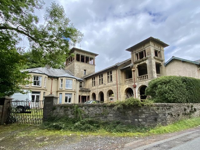
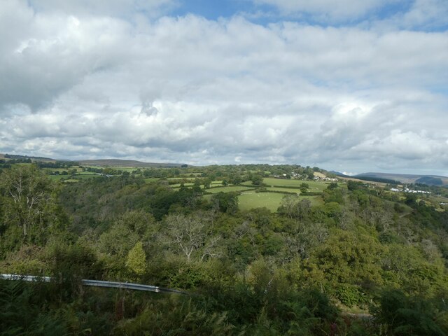
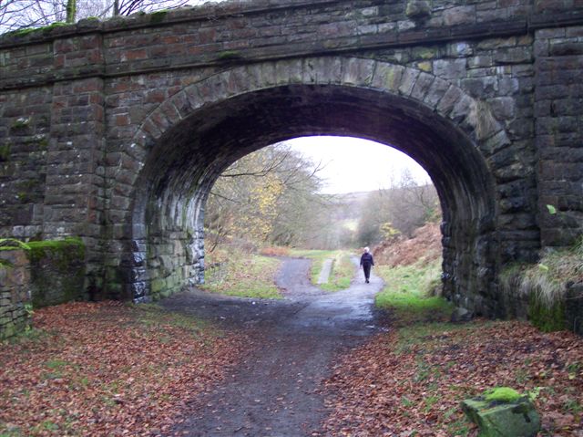
Morlais Castle Images

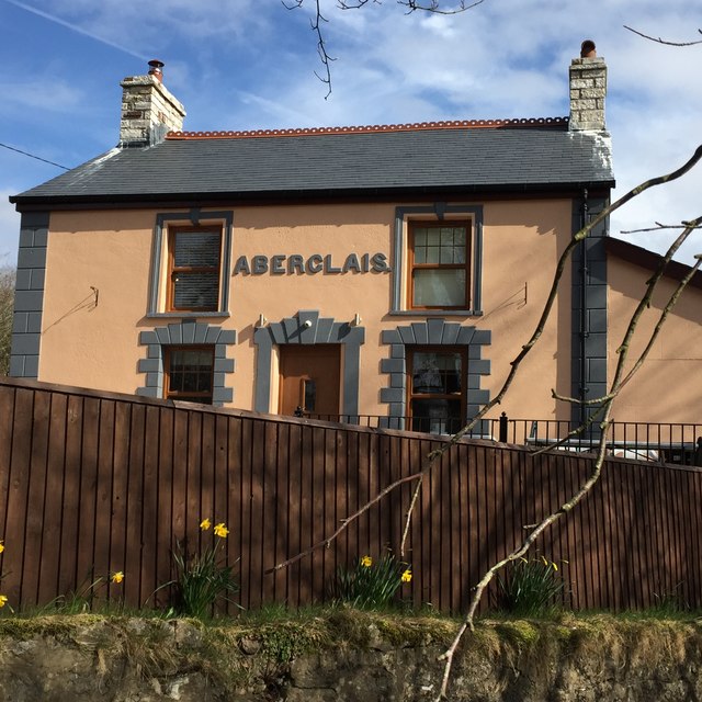
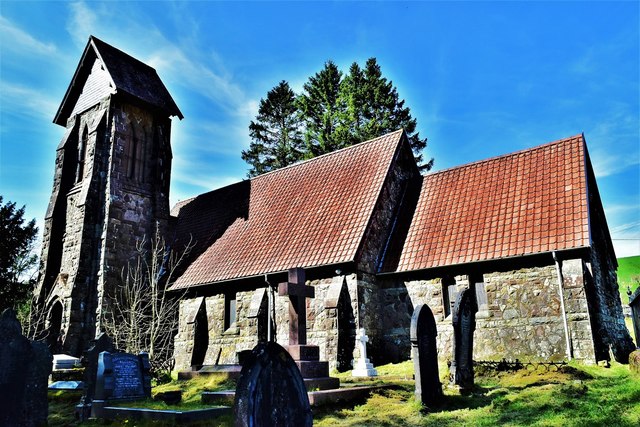
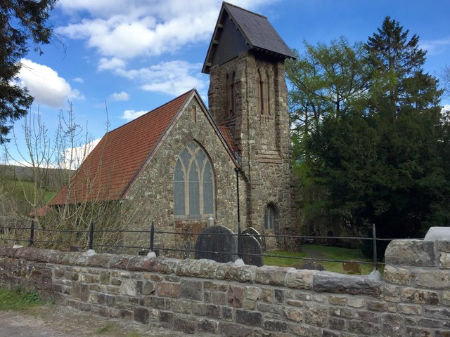
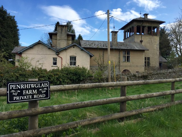
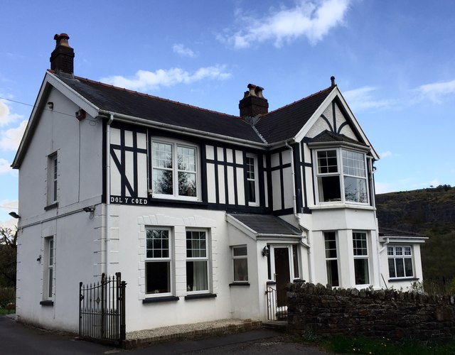
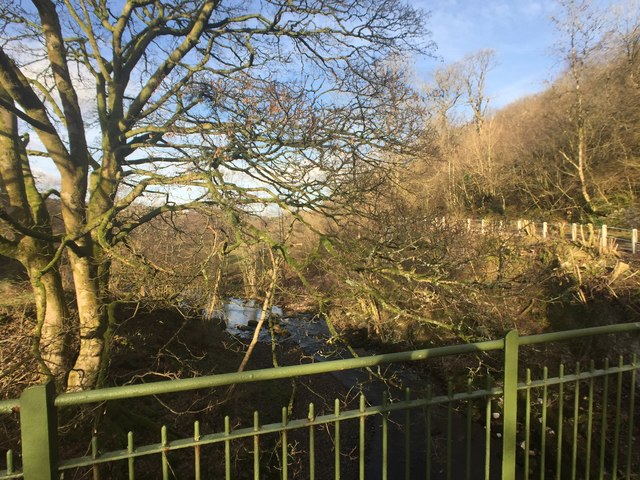
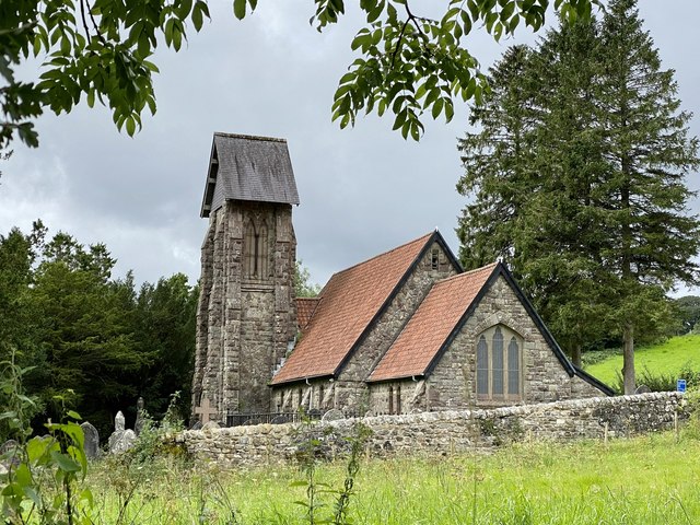
Images are sourced within 2km of 51.775324/-3.3828089 or Grid Reference SO0409. Thanks to Geograph Open Source API. All images are credited.

Aberglais Inn The Aberglais Inn, Pontsarn, near the viaduct over the Taf Fechan.
Aberglais Inn
The Aberglais Inn, Pontsarn, near the viaduct over the Taf Fechan.
St Gwynno Church, Vaynor,Merthyr
Tafarn yr Eglwys Formerly a pub, now a private residence, Tafarn yr Eglwys (Church Inn) served as the local circuit court in the 18th century.
Tafarn yr Eglwys
Formerly a pub, now a private residence, Tafarn yr Eglwys (Church Inn) served as the local circuit court in the 18th century.
St.Gwynno Church Church of St.Gwynno, Vaynor.
St.Gwynno Church
Church of St.Gwynno, Vaynor.
Hy Brasail View of the Italianate villa, Hy Brasail, from the entrance to Penrhiwglais Farm.
Hy Brasail
View of the Italianate villa, Hy Brasail, from the entrance to Penrhiwglais Farm.
Dol y Coed, Vaynor Opposite Hy Brasail in Vaynor, an attractive part-timbered residence named Dol y Coed.
Dol y Coed, Vaynor
Opposite Hy Brasail in Vaynor, an attractive part-timbered residence named Dol y Coed.
Bridge over the Taf Fechan Taf Fechan bridge near Pontsticill.
Bridge over the Taf Fechan
Taf Fechan bridge near Pontsticill.
Lane and river Narrow lane to Pontsticill alongside the Taf Fechan.
Lane and river
Narrow lane to Pontsticill alongside the Taf Fechan.
Ordnance Survey Cut Mark This OS cut mark can be found on the NE face of the Memorial Hall. It marks a point 349.130m above mean sea level.
Ordnance Survey Cut Mark
This OS cut mark can be found on the NE face of the Memorial Hall. It marks a point 349.130m above mean sea level.
Direction Sign – Signpost Located on the east side of a T junction near Vaynor church in Vaynor community. 2 arms and annulus finial. Sadly by April 2011 on Google Earth the Vaynor Church arm was absent, and by December 2013 on <a title="https://www.geograph.org.uk/photo/3767528" href="https://www.geograph.org.uk/photo/3767528">Link</a> it was in the shadow of a modern road sign.

Milestone Society National ID: BRE_SO0410
Direction Sign – Signpost
Located on the east side of a T junction near Vaynor church in Vaynor community. 2 arms and annulus finial. Sadly by April 2011 on Google Earth the Vaynor Church arm was absent, and by December 2013 on Link it was in the shadow of a modern road sign. Milestone Society National ID: BRE_SO0410
Blocked footpath The aftermath of storm Ellen.  Cyclists have to negotiate their way around a fallen tree on the disused railway line between Cefn Coed and Pontsticill.
Blocked footpath
The aftermath of storm Ellen. Cyclists have to negotiate their way around a fallen tree on the disused railway line between Cefn Coed and Pontsticill.
St Gwynno’s Church, Faenor The church was rebuilt in 1870 by Robert Crawshay, the local ironmaster.
St Gwynno’s Church, Faenor
The church was rebuilt in 1870 by Robert Crawshay, the local ironmaster.
Church ruin The old church of St Gwynno, Faenor, replaced in 1870.
Church ruin
The old church of St Gwynno, Faenor, replaced in 1870.
Hy Brasail A monumental folly to love lost.

<span class="nowrap"><a title="https://www.grahamwatkins.info/post/2015/06/15/hybrasail-house" rel="nofollow ugc noopener" href="https://www.grahamwatkins.info/post/2015/06/15/hybrasail-house">Link</a><img style="margin-left:2px;" alt="External link" title="External link - shift click to open in new window" src="https://s1.geograph.org.uk/img/external.png" width="10" height="10"/></span>
Hy Brasail
A monumental folly to love lost. LinkExternal link
Overgrown footpath This old footpath appears to be little used nowadays.  It once led from Pontsticill to Faenor church.
Overgrown footpath
This old footpath appears to be little used nowadays. It once led from Pontsticill to Faenor church.
Bus shelter, Pontsticill Colourfully painted bus shelter featuring several local tourist attractions. In addition to the Brecon Beacons in the background you can see the Pont Sarn viaduct, the Brecon Mountain Railway, Faenor Church and the local pub, The Red Cow.
Bus shelter, Pontsticill
Colourfully painted bus shelter featuring several local tourist attractions. In addition to the Brecon Beacons in the background you can see the Pont Sarn viaduct, the Brecon Mountain Railway, Faenor Church and the local pub, The Red Cow.
Bus shelter, Pontsticill See also <a href="https://www.geograph.org.uk/photo/7294892">SO0511 : Bus shelter, Pontsticill</a>.
Bus shelter, Pontsticill
View over Taff valley from near Pant Station
Show me another place!

Morlais Castle is located at Grid Ref: SO0409 (Lat: 51.775324, Lng: -3.3828089)

Unitary Authority: Merthyr Tydfil

Police Authority: South Wales

What 3 Words

///play.deal.highs. Near Merthyr Tydfil

Related Wikis

Morlais Castle

Morlais Castle is a 13th-century castle located above the Taff Gorge near the town of Merthyr Tydfil in Wales. == History == Building of the castle was...

Pontsarn Halt railway station

Pontsarn Halt railway station served the village of Vaynor and the area of Pontsarn, Glamorgan, Wales, 1869 to 1961 on the Brecon and Merthyr Tydfil Junction...

Cwm Taf Fechan Woodlands

Cwm Taf Fechan Woodlands is a Site of Special Scientific Interest on the northern outskirts of Merthyr Tydfil, in south Wales. It has semi-natural broadleaved...

Vaynor

Vaynor (Welsh: Y Faenor, meaning "The Manor") is a village and community (formerly a parish) in Merthyr Tydfil County Borough in Wales, United Kingdom...

Nearby Amenities

Located within 500m of 51.775324,-3.3828089
Barrier: stile
Bicycle: no
Foot: yes
Horse: no
Motor Vehicle: no
Lat/Long: 51.7760129/-3.3875292
Power: pole
Lat/Long: 51.7715761/-3.3812919
Power: pole
Lat/Long: 51.7714865/-3.3823809
Power: pole
Lat/Long: 51.7713587/-3.3837301
Power: pole
Lat/Long: 51.7713156/-3.3842048
Power: pole
Lat/Long: 51.7717869/-3.3854654
Power: pole
Lat/Long: 51.7726284/-3.3876032
Power: pole
Lat/Long: 51.7712226/-3.3838347
Power: pole
Lat/Long: 51.7714384/-3.3812195
Power: pole
Lat/Long: 51.7716176/-3.379173
Power: tower
Lat/Long: 51.7712292/-3.3804202
Power: tower
Lat/Long: 51.7710218/-3.3831722
Bus Stop
Pontsarn Inn
Naptan AtcoCode: 5530AWB33686
Naptan NaptanCode: mtydjwj
Survey Date: 2017-08-08
Lat/Long: 51.779231/-3.3863929
Bus Stop
Pontsarn Inn
Naptan AtcoCode: 5530AWB33685
Naptan NaptanCode: mtydjwg
Survey Date: 2017-08-08
Lat/Long: 51.7789444/-3.3862972
The data included in this document is from www.openstreetmap.org. The data is made available under ODbL.

Have you been to Morlais Castle?

Leave your review of Morlais Castle below (or comments, questions and feedback).