Marshalls Heath

Settlement in Hertfordshire St. Albans

England

Marshalls Heath

Alzey Gardens Late 20th Century housing off Pigottshill Lane/Wheathampstead Road.
Alzey Gardens Credit: Ian Capper

Marshalls Heath is a small village located in the county of Hertfordshire, England. Situated approximately 4 miles north of St Albans, Marshalls Heath is known for its picturesque countryside and peaceful setting. The village is nestled in the Chiltern Hills, offering stunning views and a tranquil environment.

Marshalls Heath is a primarily residential area, consisting of a small number of houses and cottages. The village has a close-knit community, with a strong sense of community spirit. The residents often organize local events and activities, bringing everyone together.

Despite its rural location, Marshalls Heath offers easy access to amenities and services. The nearby town of St Albans provides a range of shops, supermarkets, restaurants, and leisure facilities. The village is also well-connected by road, with the M1 motorway just a short distance away, allowing for convenient travel to nearby towns and cities.

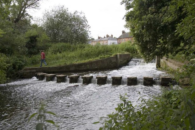
For nature lovers, Marshalls Heath is a paradise. The surrounding countryside is perfect for long walks, cycling, and exploring the outdoors. The village is also in close proximity to several nature reserves and country parks, providing opportunities for wildlife spotting and birdwatching.

Overall, Marshalls Heath is a charming village that offers a peaceful and idyllic lifestyle. Its stunning natural surroundings and friendly community make it an attractive place to live for those seeking a rural retreat while still enjoying easy access to amenities.

If you have any feedback on the listing, please let us know in the comments section below.

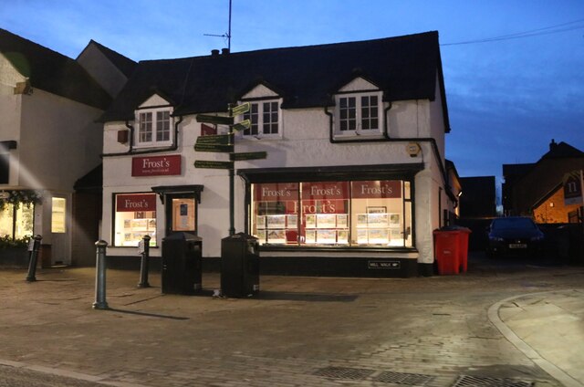
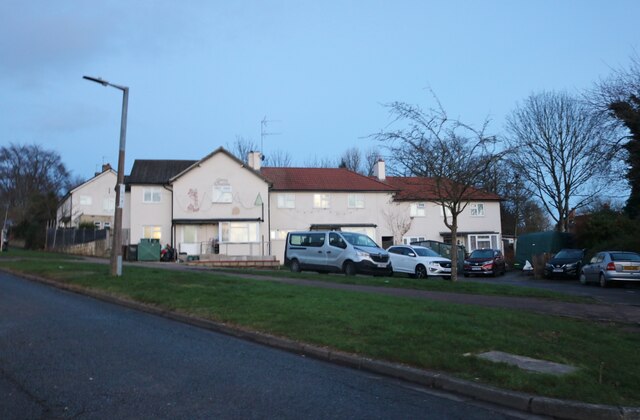
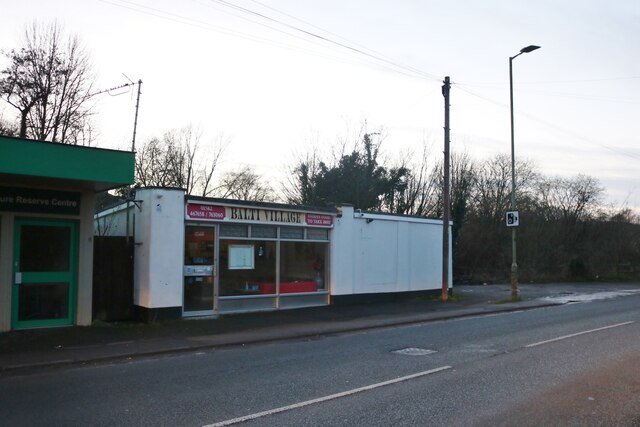
Marshalls Heath Images

Images are sourced within 2km of 51.821593/-0.3183618 or Grid Reference TL1615. Thanks to Geograph Open Source API. All images are credited.

Alzey Gardens Late 20th Century housing off Pigottshill Lane/Wheathampstead Road.
Alzey Gardens
Late 20th Century housing off Pigottshill Lane/Wheathampstead Road.
Aldwickbury School Boys' prep school which in the c.1940s moved to the Victorian mansion of Aldwickbury (named Highfirs until the early 20th Century).  Seen here is the lodge by the driveway off Wheathamptead Road.
Aldwickbury School
Boys' prep school which in the c.1940s moved to the Victorian mansion of Aldwickbury (named Highfirs until the early 20th Century). Seen here is the lodge by the driveway off Wheathamptead Road.
Wheathampstead Road c.1960s housing along a service road separated from the main Wheathampstead Road by the line of trees on the right.
Wheathampstead Road
c.1960s housing along a service road separated from the main Wheathampstead Road by the line of trees on the right.
Dalkeith Road c.1930s housing.
Dalkeith Road
c.1930s housing.
Junction on Common Lane, Batford
Field in Batford
Field in Batford
Common Lane, Bower Heath
Roundabout on Lamer Lane, Wheathampstead Looking towards Lower Luton Road
Roundabout on Lamer Lane, Wheathampstead
Looking towards Lower Luton Road
Frost's estate agents, Wheathampstead All the Frost's I've seen have been in Surrey, I didn't know they were up here as well.
Frost's estate agents, Wheathampstead
All the Frost's I've seen have been in Surrey, I didn't know they were up here as well.
Coldharbour Lane, Harpenden
Batford Road at the junction of Lower Luton Road
Houses on Pickford Hill, Batford
Pickford Hill, Batford
Traffic island on Pickford Hill, Batford
Pickford Hill, Batford
Houses on Finley Road, Batford
Balti Village on Lower Luton Road, Batford
Batford Springs Nature Reserve Centre Providing walks and information on the nature reserve <span class="nowrap"><a title="https://www.harpenden.gov.uk/batford-springs" rel="nofollow ugc noopener" href="https://www.harpenden.gov.uk/batford-springs">Link</a><img style="margin-left:2px;" alt="External link" title="External link - shift click to open in new window" src="https://s1.geograph.org.uk/img/external.png" width="10" height="10"/></span>
Batford Springs Nature Reserve Centre
Providing walks and information on the nature reserve LinkExternal link
Show me another place!

Marshalls Heath is located at Grid Ref: TL1615 (Lat: 51.821593, Lng: -0.3183618)

Administrative County: Hertfordshire

District: St. Albans

Police Authority: Hertfordshire

What 3 Words

///voters.royal.belong. Near Wheathampstead, Hertfordshire

Related Wikis

Marshalls Heath

Marshalls Heath is a hamlet and a 4-hectare (10-acre) Local Nature Reserve in Wheathampstead parish, Hertfordshire, England. The nature reserve is owned...

Batford Springs

Batford Springs is a 3.5-hectare (8.6-acre) Local Nature Reserve in Harpenden in Hertfordshire. It is owned and managed by Harpenden Town Council, and...

Aldwickbury School

Aldwickbury School is a 4–13 boys private preparatory school located on the outskirts of Harpenden, Hertfordshire in the United Kingdom. Aldwickbury School...

Batford

Batford is a village in Hertfordshire, England, located on the River Lea on the outskirts of Harpenden. Batford Springs is a local nature reserve alongside...

Nearby Amenities

Located within 500m of 51.821593,-0.3183618
Bus Stop
Valley Rise
Bench: no
Bus: yes
Naptan AtcoCode: 210021501320
Naptan Bearing: E
Naptan CommonName: Valley Rise
Naptan Crossing: Valley Rise
Naptan Indicator: adj
Naptan Landmark: Valley Rise
Naptan NaptanCode: hrtdajam
Naptan PlusbusZoneRef: HRPNDN
Naptan ShortCommonName: NA
Naptan Street: Lower Luton Road
Naptan Verified: no
Public Transport: platform
Shelter: no
Source: naptan_import
Lat/Long: 51.820518/-0.3252912
Bus Stop
Castle Rise
Bench: yes
Bus: yes
Naptan AtcoCode: 210021501340
Naptan Bearing: SE
Naptan CommonName: Castle Rise
Naptan Crossing: opp Castle Farm
Naptan Indicator: adj
Naptan Landmark: opp Castle Farm
Naptan NaptanCode: hrtdajap
Naptan PlusbusZoneRef: HRPNDN
Naptan ShortCommonName: NA
Naptan Street: Lower Luton Road
Naptan Verified: no
Public Transport: platform
Shelter: yes
Source: naptan_import
Lat/Long: 51.8196719/-0.3216238
Bus Stop
Cherry Trees Restaurant
Bus: yes
Naptan AtcoCode: 210021501360
Naptan Bearing: E
Naptan CommonName: Cherry Trees Restaurant
Naptan Crossing: Marshalls Heath Lane
Naptan Indicator: opp
Naptan Landmark: Marshalls Heath Lane
Naptan NaptanCode: hrtdagpj
Naptan PlusbusZoneRef: HRPNDN;STALBCY
Naptan ShortCommonName: NA
Naptan Street: Lower Luton Road
Naptan Verified: no
Public Transport: platform
Source: naptan_import
Lat/Long: 51.8185883/-0.315369
Bus Stop
Cherry Trees Restaurant
Bus: yes
Naptan AtcoCode: 210021510400
Naptan Bearing: W
Naptan CommonName: Cherry Trees Restaurant
Naptan Crossing: Cherry Tree Lane
Naptan Indicator: adj
Naptan Landmark: Cherry Tree Lane
Naptan NaptanCode: hrtatmdm
Naptan PlusbusZoneRef: HRPNDN;STALBCY
Naptan ShortCommonName: NA
Naptan Street: Lower Luton Road
Naptan Verified: no
Public Transport: platform
Shelter: yes
Source: naptan_import
Lat/Long: 51.8184792/-0.3159053
Bus Stop
Castle Rise
Bus: yes
Naptan AtcoCode: 210021510420
Naptan Bearing: NW
Naptan CommonName: Castle Rise
Naptan Crossing: Castle Farm
Naptan Indicator: opp
Naptan Landmark: Castle Farm
Naptan NaptanCode: hrtatmdp
Naptan PlusbusZoneRef: HRPNDN
Naptan ShortCommonName: NA
Naptan Street: Lower Luton Road
Naptan Verified: no
Public Transport: platform
Source: naptan_import
Lat/Long: 51.8193773/-0.3210763
Post Box
Post Box Type: pillar
Ref: AL4 166
Royal Cypher: EIIR
Royal Cypher Wikidata: Q33102113
Lat/Long: 51.819983/-0.3208674
Direction: 190
Generator Method: photovoltaic
Generator Output Electricity: yes
Generator Solar Modules: 8
Generator Source: solar
Generator Type: solar_photovoltaic_panel
Location: roof
Power: generator
Lat/Long: 51.8185462/-0.3135621
Direction: 195
Generator Method: photovoltaic
Generator Output Electricity: yes
Generator Solar Modules: 16
Generator Source: solar
Generator Type: solar_photovoltaic_panel
Location: roof
Power: generator
Lat/Long: 51.8186252/-0.3141532
Direction: 175
Generator Method: photovoltaic
Generator Output Electricity: yes
Generator Solar Modules: 11
Generator Source: solar
Generator Type: solar_photovoltaic_panel
Location: roof
Power: generator
Lat/Long: 51.8187849/-0.3162396
Direction: 185
Generator Method: photovoltaic
Generator Output Electricity: yes
Generator Solar Modules: 10
Generator Source: solar
Generator Type: solar_photovoltaic_panel
Location: roof
Power: generator
Lat/Long: 51.8208097/-0.3202183
Direction: 95
Generator Method: photovoltaic
Generator Output Electricity: yes
Generator Solar Modules: 6
Generator Source: solar
Generator Type: solar_photovoltaic_panel
Location: roof
Power: generator
Lat/Long: 51.8208351/-0.320158
Direction: 100
Generator Method: photovoltaic
Generator Output Electricity: yes
Generator Solar Modules: 8
Generator Source: solar
Generator Type: solar_photovoltaic_panel
Location: roof
Power: generator
Lat/Long: 51.8230394/-0.3156169
Direction: 200
Generator Method: photovoltaic
Generator Output Electricity: yes
Generator Solar Modules: 7
Generator Source: solar
Generator Type: solar_photovoltaic_panel
Location: roof
Power: generator
Lat/Long: 51.8239951/-0.315089
Direction: 195
Generator Method: photovoltaic
Generator Output Electricity: yes
Generator Solar Modules: 8
Generator Source: solar
Generator Type: solar_photovoltaic_panel
Location: roof
Power: generator
Lat/Long: 51.8214283/-0.3239052
Direction: 105
Generator Method: photovoltaic
Generator Output Electricity: yes
Generator Solar Modules: 8
Generator Source: solar
Generator Type: solar_photovoltaic_panel
Location: roof
Power: generator
Lat/Long: 51.8214574/-0.3238245
The data included in this document is from www.openstreetmap.org. The data is made available under ODbL.

Have you been to Marshalls Heath?

Leave your review of Marshalls Heath below (or comments, questions and feedback).