Minley

Settlement in Hampshire Hart

England

Minley

The Cricketers, Cricket Hill A quiet setting for this pub on the edge of Yateley.
The Cricketers, Cricket Hill Credit: don cload

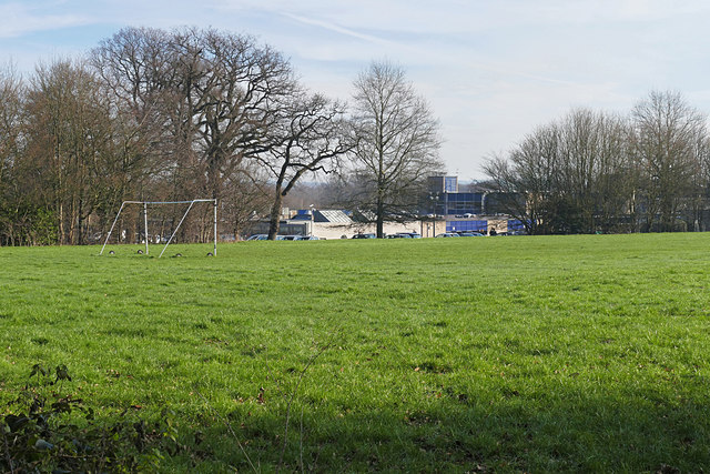
Minley is a village located in the county of Hampshire, England. Situated approximately 3 miles north of the town of Fleet, Minley boasts a picturesque countryside setting with an abundance of natural beauty. The village is surrounded by lush green fields, rolling hills, and dense woodlands, making it an ideal location for those seeking a tranquil and idyllic retreat.

One of the notable features of Minley is the historic Minley Manor, a Grade II listed building. Built in the 19th century, the manor is a fine example of Victorian architecture, with its elegant design and beautiful gardens. The manor has been used for various purposes over the years, including as a military hospital during World War I and as a training facility for police dogs.

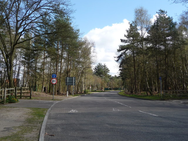
In addition to its stunning landscapes and rich history, Minley is also known for its proximity to various amenities and attractions. The nearby town of Fleet offers a range of shops, restaurants, and leisure facilities, ensuring that residents have access to all necessary amenities. The village is also conveniently located near major road networks, providing easy access to nearby cities such as London and Southampton.

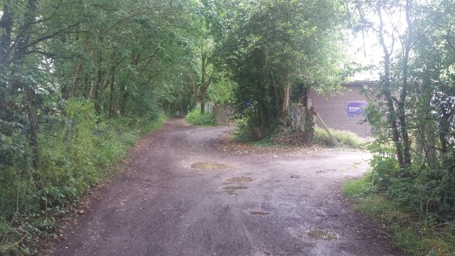
For those who enjoy the outdoors, Minley offers numerous opportunities for activities such as hiking, cycling, and horse riding. The village is surrounded by a network of footpaths and bridleways, allowing residents and visitors to explore the beautiful countryside at their leisure.

In summary, Minley is a charming village in Hampshire, offering a peaceful and scenic environment, rich history, and convenient access to amenities and attractions. It is an ideal destination for those seeking a rural escape with easy access to urban conveniences.

If you have any feedback on the listing, please let us know in the comments section below.

Minley Images

Images are sourced within 2km of 51.317474/-0.81725199 or Grid Reference SU8258. Thanks to Geograph Open Source API. All images are credited.

The Cricketers, Cricket Hill A quiet setting for this pub on the edge of Yateley.
The Cricketers, Cricket Hill
A quiet setting for this pub on the edge of Yateley.
Yateley Baptist Church Built in 1865 replacing the Zoar Chapel.
Yateley Baptist Church
Built in 1865 replacing the Zoar Chapel.
Sign at  "The Cricketers" at Yateley
Sign at "The Cricketers" at Yateley
"The Cricketers" PH at Yateley
Playing fields, Darby Green A large area of playing fields belonging to Potley School off Prior's Lane in Darby Green.
Playing fields, Darby Green
A large area of playing fields belonging to Potley School off Prior's Lane in Darby Green.
Frogmore Community College The view from Cobbett's Lane across the playing fields towards the Frogmore Community College.
Frogmore Community College
The view from Cobbett's Lane across the playing fields towards the Frogmore Community College.
Cobbett's Lane, Yateley The access road from Yateley serving the farms to the southeast of the town.
Cobbett's Lane, Yateley
The access road from Yateley serving the farms to the southeast of the town.
Heathlands Cemetery access road, Yateley The access road off Steven's Hill to the Heathlands Cemetery on Yateley Common.
Heathlands Cemetery access road, Yateley
The access road off Steven's Hill to the Heathlands Cemetery on Yateley Common.
Steven's Hill, Yateley The rural road which form the boundary between the housing estates of Yateley and the farmland beyond. The farm track on the left serves the piggery near Hill farm.
Steven's Hill, Yateley
The rural road which form the boundary between the housing estates of Yateley and the farmland beyond. The farm track on the left serves the piggery near Hill farm.
Priors Lane Priors Lane by the Scout Hut
Priors Lane
Priors Lane by the Scout Hut
Yateley Much of this square is heathland. This picture was taken from the A30, midway along the northern edge, looking south over Yateley Common - an excellent spot for Dartford Warblers!
Yateley
Much of this square is heathland. This picture was taken from the A30, midway along the northern edge, looking south over Yateley Common - an excellent spot for Dartford Warblers!
Blackbushe Blackbushe Airport Control Tower and main car park, in the northeast corner of this square. The remainder of the square, south of the A30 is woodland.
Blackbushe
Blackbushe Airport Control Tower and main car park, in the northeast corner of this square. The remainder of the square, south of the A30 is woodland.
Hawley Looking northeast from the top of Hawley Hill near the Trig Point. This square is mainly woodland.
Hawley
Looking northeast from the top of Hawley Hill near the Trig Point. This square is mainly woodland.
Haywards Cottage Haywards Cottage is one of the very few properties built on Yateley Common. This photo shows it and its gardens on a glorius sunny August day in 2004.
Haywards Cottage
Haywards Cottage is one of the very few properties built on Yateley Common. This photo shows it and its gardens on a glorius sunny August day in 2004.
Minley Road Closed For RTA Christmas Eve 2004. I personally would have preferred this picture if the police hadn't closed the road for a car accident, mind you they were sweeping up the remains of my car!

Photograph taken with Sony Cybershot DSC-U30.
Minley Road Closed For RTA
Christmas Eve 2004. I personally would have preferred this picture if the police hadn't closed the road for a car accident, mind you they were sweeping up the remains of my car! Photograph taken with Sony Cybershot DSC-U30.
Bridleway on Hawley Common, Hampshire This is looking NW on the bridleway from West Heath to Minley.
Bridleway on Hawley Common, Hampshire
This is looking NW on the bridleway from West Heath to Minley.
Forestry track on Hawley Common This is taken looking west from a crossing of tracks, which are indistinguishable from the bridleways; careful mapreading is required!  The white dots in the distance are dogs, being taken for a walk by a man on a bicycle at quite a speed; they were supposed to be middle of the picture, but I was too slow switching the camera on.
Forestry track on Hawley Common
This is taken looking west from a crossing of tracks, which are indistinguishable from the bridleways; careful mapreading is required! The white dots in the distance are dogs, being taken for a walk by a man on a bicycle at quite a speed; they were supposed to be middle of the picture, but I was too slow switching the camera on.
Hawley Lake and sailing club near M3J4a A bleak winter's day at the lake; a cormorant stretches its wings, optimistic ducks stay close.
Hawley Lake and sailing club near M3J4a
A bleak winter's day at the lake; a cormorant stretches its wings, optimistic ducks stay close.
Show me another place!

Minley is located at Grid Ref: SU8258 (Lat: 51.317474, Lng: -0.81725199)

Administrative County: Hampshire

District: Hart

Police Authority: Hampshire

What 3 Words

///sleeping.padding.craftsmen. Near Yateley, Hampshire

Nearby Locations

Hornley Common Minley

Related Wikis

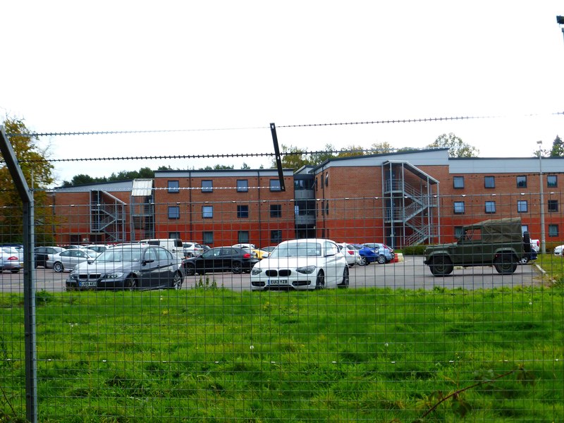
Gibraltar Barracks, Minley

Gibraltar Barracks is a British Army installation at Minley in Hampshire. == History == The Royal Engineers first arrived at Minley with an engineer brigade...

Minley Manor

Minley Manor is a Grade II* listed country manor house, located within a Grade II registered garden, built in the French Gothic style by Henry Clutton...

Blackwater and Hawley

Blackwater and Hawley is a civil parish in the Hart district of Hampshire, England, on the border with Surrey. According to the 2001 census it had a population...

Minley

Minley is a slightly depopulated rural, well-wooded village in the Hart District of Hampshire, England. It has the only church of the C of E ecclesiastical...

Foxlease and Ancells Meadows

Foxlease and Ancells Meadows is a 68.8-hectare (170-acre) biological Site of Special Scientific Interest on the western outskirts of Farnborough in Hampshire...

Darby Green

Darby Green is a village in the parish of Yateley, North East Hampshire, England. The electoral ward of Frogmore and Darby Green is separated from the...

Frogmore Community College

Frogmore Community College is a state secondary school based in Yateley, Hampshire, England drawing attendees from Yateley, nearby Blackwater, Darby Green...

Guillemont Barracks

Guillemont Barracks, located just off of junction 4a of the M3, on the Minley Road (A327), was a military installation at Minley in Hampshire. == History... ==

Nearby Amenities

Located within 500m of 51.317474,-0.81725199
Ele: 99.381226
Lat/Long: 51.3209797/-0.8130956
Ele: 103.466797
Lat/Long: 51.321382/-0.8181081
Traffic Calming: hump
Lat/Long: 51.3174925/-0.817172
Crossing
Bicycle: yes
Crossing: unmarked
Horse: yes
Kerb: lowered
Sloped Curb: yes
Lat/Long: 51.3145115/-0.8159759
Minley
Place: village
Source: OS_OpenData_StreetView
Wikidata: Q6867877
Wikipedia: en:Minley
Lat/Long: 51.3154581/-0.8191106
Crossing
Bicycle: yes
Crossing Island: yes
Kerb: lowered
Sloped Curb: yes
Lat/Long: 51.31817/-0.8211598
Bus Stop
Gibraltar Barracks
Bus: yes
Naptan AtcoCode: 1900HAA19663
Naptan Bearing: E
Naptan CommonName: Gibraltar Barracks
Naptan Landmark: Barracks Entrance
Naptan NaptanCode: hamjgjtp
Naptan Street: Off Minley Road
Naptan Verified: no
Public Transport: platform
Source: naptan_import
Lat/Long: 51.318472/-0.8214306
Barrier: bollard
Lat/Long: 51.3210217/-0.8134156
Traffic Calming: hump
Lat/Long: 51.3179036/-0.814024
Traffic Calming: hump
Lat/Long: 51.3178391/-0.8160909
Crossing
Bicycle: yes
Crossing Island: yes
Kerb: lowered
Lat/Long: 51.3182356/-0.8212504
The data included in this document is from www.openstreetmap.org. The data is made available under ODbL.

Have you been to Minley?

Leave your review of Minley below (or comments, questions and feedback).