Milton Combe
Settlement in Devon West Devon
England
Milton Combe
The requested URL returned error: 429 Too Many Requests
If you have any feedback on the listing, please let us know in the comments section below.
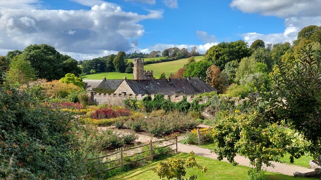
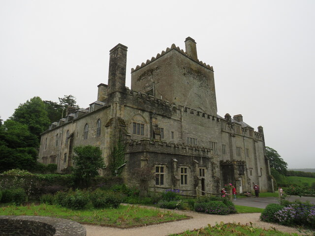
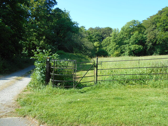
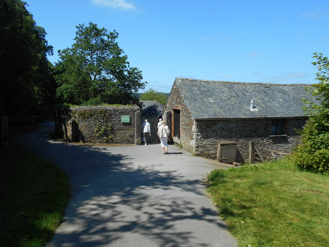
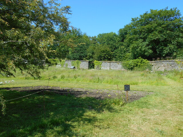
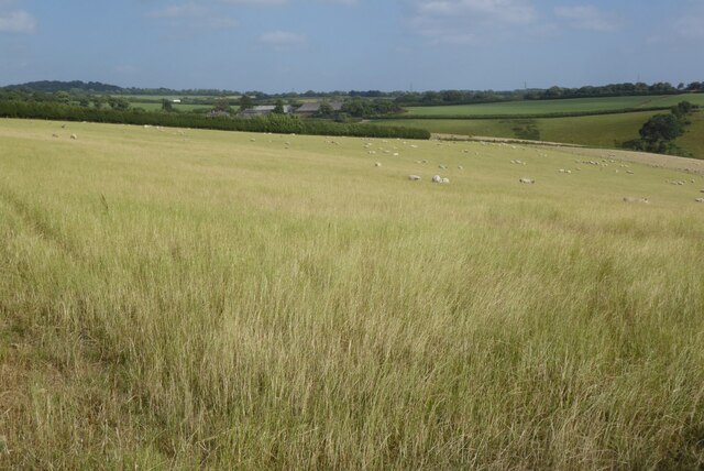
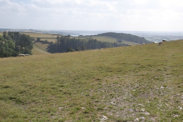
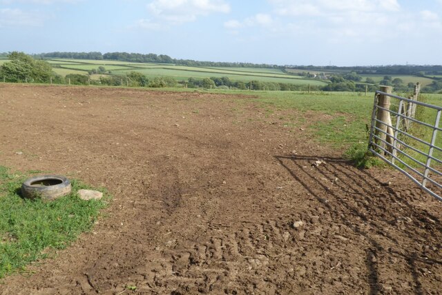
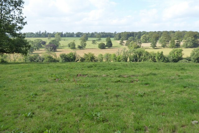
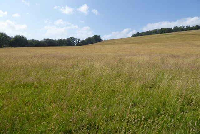
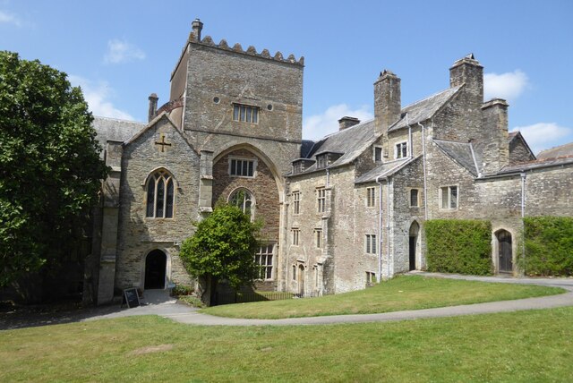
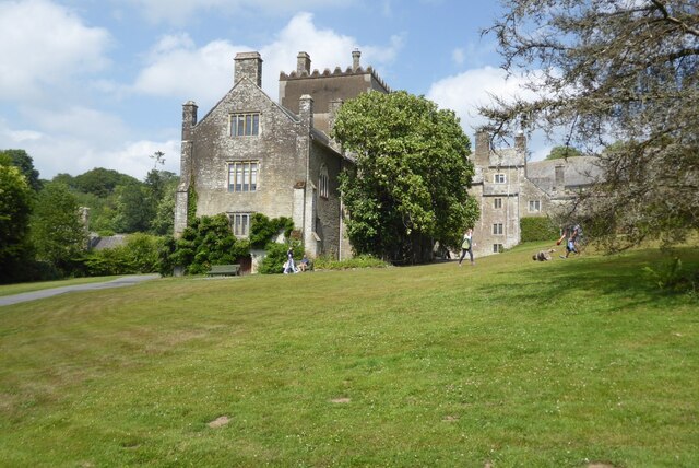
Milton Combe Images
Images are sourced within 2km of 50.472176/-4.1315474 or Grid Reference SX4865. Thanks to Geograph Open Source API. All images are credited.

Milton Combe is located at Grid Ref: SX4865 (Lat: 50.472176, Lng: -4.1315474)
Administrative County: Devon
District: West Devon
Police Authority: Devon and Cornwall
Also known as: Milton Coombe
What 3 Words
///cosmic.crumble.clings. Near Yelverton, Devon
Nearby Locations
Related Wikis
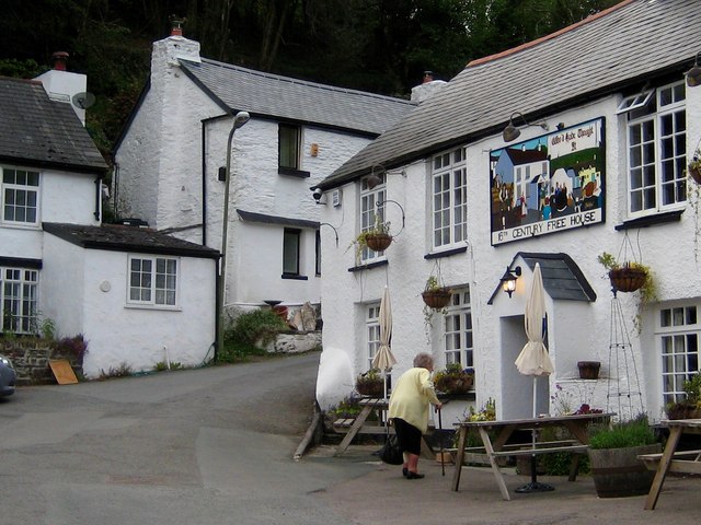
Milton Combe
Milton Combe is a village in Devon approximately 2 miles from Yelverton and 8 miles from the city of Plymouth. The name Milton Combe is derived from the...
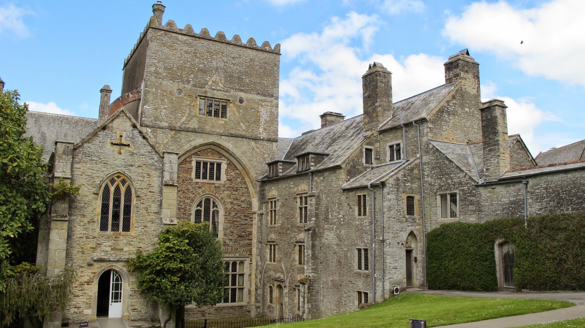
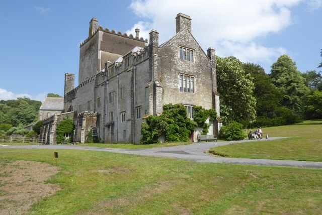
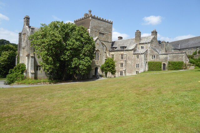
Buckland Abbey
Buckland Abbey is a Grade I listed 700-year-old house in Buckland Monachorum, near Yelverton, Devon, England, noted for its connection with Sir Richard...

River Tavy
The Tavy () is a river on Dartmoor, Devon, England. The name derives from the Brythonic root "Tam", once thought to mean 'dark' but now generally understood...

Lopwell
Lopwell is a site of natural beauty situated at the normal tidal limit of the River Tavy, 3 miles from north Plymouth and 7 miles from Tavistock, Devon...
Nearby Amenities
Located within 500m of 50.472176,-4.1315474Have you been to Milton Combe?
Leave your review of Milton Combe below (or comments, questions and feedback).