Beer

Settlement in Somerset South Somerset

England

Beer

Aller The Old Pound Inn
Aller Credit: Liz Martin

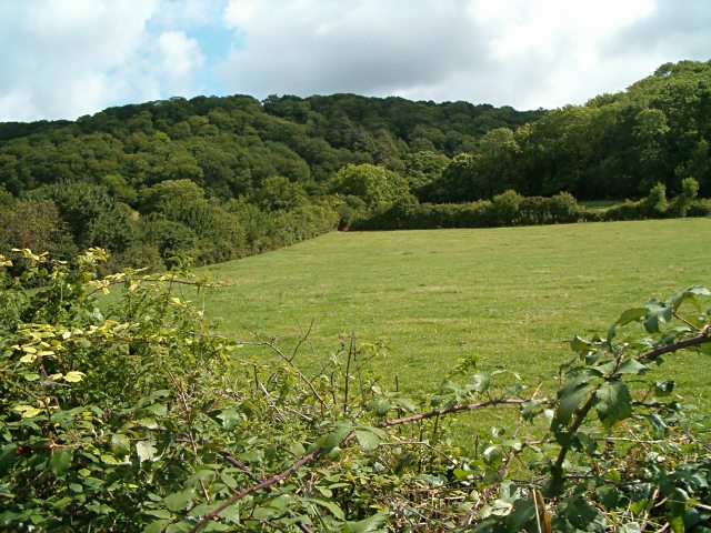
Beer is a charming village located in Somerset, England. Situated in the South West of the country, Beer is nestled on the Jurassic Coast, a UNESCO World Heritage Site renowned for its stunning natural beauty. The village is part of the East Devon Area of Outstanding Natural Beauty, further adding to its appeal.

Beer boasts a rich history, dating back to Roman times when it served as a fishing port. The village's name is believed to have derived from the old English word "bearu," meaning grove or wood, which is fitting as Beer is surrounded by picturesque woodlands. Today, it maintains its fishing heritage, with a small fleet of fishing boats still operating from the beach.

One of the village's prominent landmarks is Beer Quarry Caves, an extensive network of limestone caverns that were once used as a source of stone for famous buildings such as Exeter Cathedral and Westminster Abbey. Visitors can explore these underground caves and learn about the quarrying process that shaped the local area.

In addition to its historical significance, Beer offers a range of amenities for both residents and visitors. The village is home to several charming pubs, restaurants, and cafes, where visitors can enjoy traditional Somerset cuisine and locally brewed ales. The stunning pebble beach is ideal for relaxing, swimming, or exploring the rock pools at low tide.

Beer's picturesque setting, rich history, and friendly community make it a popular destination for tourists seeking a quintessential English coastal village experience. Whether strolling along the beach, exploring the caves, or indulging in local delicacies, Beer has something to offer for everyone.

If you have any feedback on the listing, please let us know in the comments section below.

Beer Images

Images are sourced within 2km of 51.079154/-2.84679 or Grid Reference ST4031. Thanks to Geograph Open Source API. All images are credited.

Aller The Old Pound Inn
Aller
The Old Pound Inn
St. Andrew's Church The parish church for High Ham.  A very old church with a font which is considered to be from the "Norman" period.
St. Andrew's Church
The parish church for High Ham. A very old church with a font which is considered to be from the "Norman" period.
Sowey River On King's Sedge Moor
Sowey River
On King's Sedge Moor
Wet Levels Flooded plains on King's Sedge Moor, Somerset
Wet Levels
Flooded plains on King's Sedge Moor, Somerset
Wet Levels Flooded plains on King's Sedge Moor, Somerset
Wet Levels
Flooded plains on King's Sedge Moor, Somerset
Nightingale Farm at Beer The old Nightingale Farm has been subdivided into a number of smaller units, but retains its historical identity to the locals.
Nightingale Farm at Beer
The old Nightingale Farm has been subdivided into a number of smaller units, but retains its historical identity to the locals.
Aller Wood View from the A372 near Beer Corner.
Aller Wood
View from the A372 near Beer Corner.
Cows Crossing Cows Crossing near Shride farm
Cows Crossing
Cows Crossing near Shride farm
Hopper by Standhill Road The forbidding outline of the hopper is at Standhill Farm. Standhill Road, on the left, is from Beer to High Ham.
Hopper by Standhill Road
The forbidding outline of the hopper is at Standhill Farm. Standhill Road, on the left, is from Beer to High Ham.
North Moor Cattle graze near a conventional-looking haystack on the eastern part of North Moor, seen from Northmoor Drove.  According to <span class="nowrap"><a title="http://webapp1.somerset.gov.uk/her/details.asp?prn=18892" rel="nofollow ugc noopener" href="http://webapp1.somerset.gov.uk/her/details.asp?prn=18892">Link</a><img style="margin-left:2px;" alt="External link" title="External link - shift click to open in new window" src="https://s1.geograph.org.uk/img/external.png" width="10" height="10"/></span> , this area was actually the site of a number of medieval stack stands.

The building in the background is Black Withies. Aller Wood, on the slopes of Aller Hill, is in ST4030.
North Moor
Cattle graze near a conventional-looking haystack on the eastern part of North Moor, seen from Northmoor Drove. According to LinkExternal link , this area was actually the site of a number of medieval stack stands. The building in the background is Black Withies. Aller Wood, on the slopes of Aller Hill, is in ST4030.
North Moor A field south of <a href="https://www.geograph.org.uk/photo/556658">ST3930 : North Moor</a>, but with the same cattle and Black Withies also visible, also seen from Northmoor Drove.
North Moor
A field south of ST3930 : North Moor, but with the same cattle and Black Withies also visible, also seen from Northmoor Drove.
Northmoor Drove The drove track across North Moor, seen close to the point where <a href="https://www.geograph.org.uk/photo/560811">ST3930 : North Moor</a> was taken.
Northmoor Drove
The drove track across North Moor, seen close to the point where ST3930 : North Moor was taken.
Buddleia by Northmoor Drove Bushes of Buddleia davidii growing alongside the track shown in <a href="https://www.geograph.org.uk/photo/560819">ST3930 : Northmoor Drove</a>.
Buddleia by Northmoor Drove
Bushes of Buddleia davidii growing alongside the track shown in ST3930 : Northmoor Drove.
Seven bends, Othery, Somerset The A372 in Somerset between Othery and Aller.
Seven bends, Othery, Somerset
The A372 in Somerset between Othery and Aller.
Sowy River in winter, near Othery
Sluice gate on the Sowy River
A372 (Langport to Othery road) with winter frost
Show me another place!

Beer is located at Grid Ref: ST4031 (Lat: 51.079154, Lng: -2.84679)

Administrative County: Somerset

District: South Somerset

Police Authority: Avon and Somerset

What 3 Words

///polar.eagle.claim. Near Langport, Somerset

Nearby Locations

Beer

Related Wikis

Aller and Beer Woods

Aller and Beer Woods (grid reference ST404305) is a 56.9 hectares (141 acres) biological Site of Special Scientific Interest. off the A372 Othery to Langport...

The Breeze (Bridgwater & West Somerset)

The Breeze (Bridgwater & West Somerset) formerly Quay West and Total Star Somerset was an Independent Local Radio station serving the Sedgemoor District...
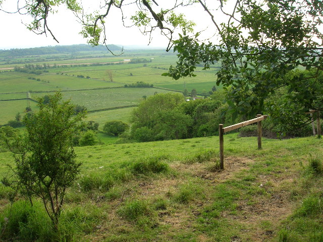
King's Sedgemoor

King's Sedgemoor is a piece of rich animal habitat and farming land, that forms part of the Somerset Levels and Moors in South West England. The area of...

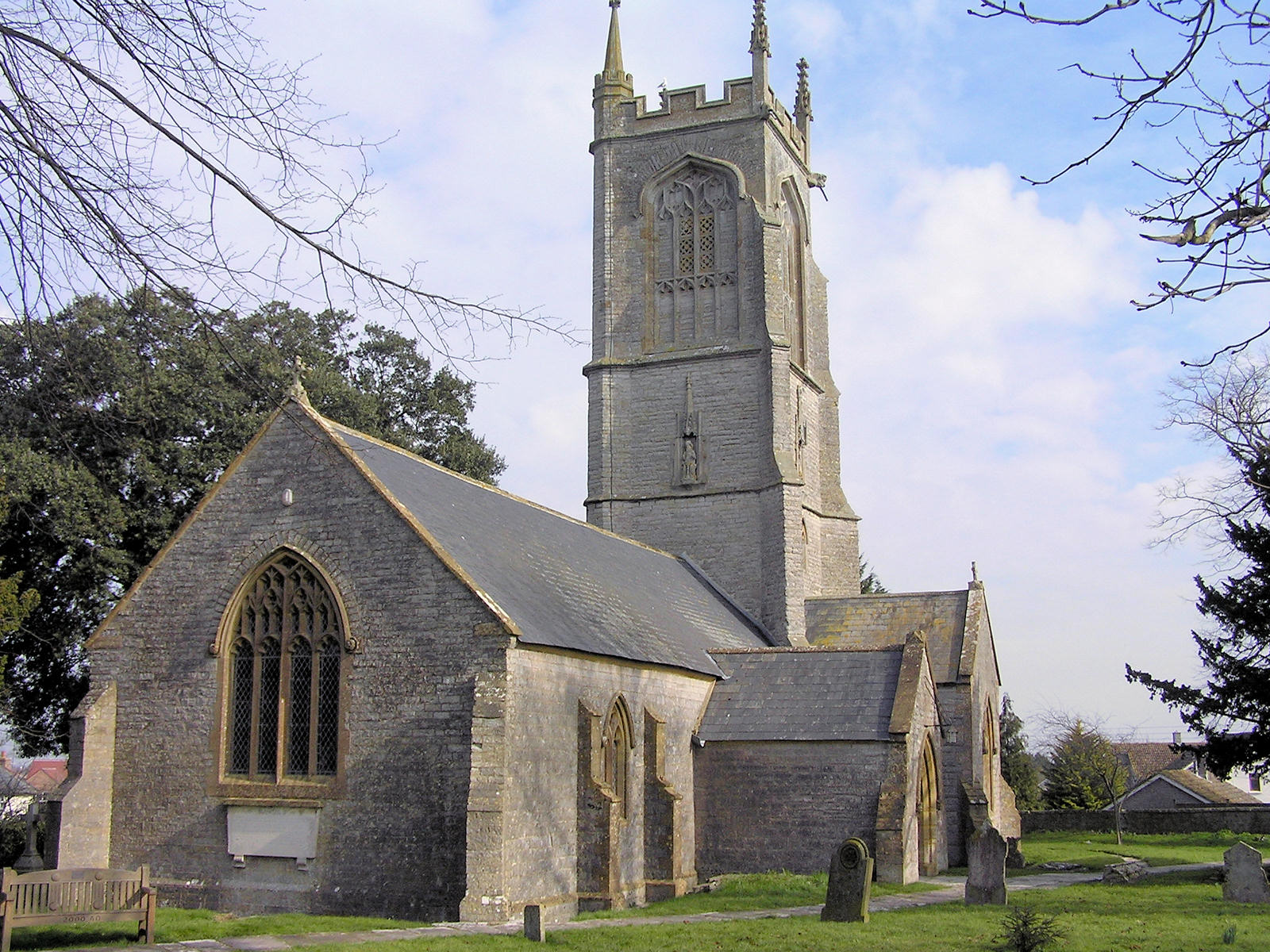
St Andrew's Church, High Ham

The Church of Saint Andrew is an Anglican parish church located on Turnhill Road, in High Ham, Somerset, England. It shows evidence of 12th- and 14th...

High Ham

High Ham is a village and civil parish in Somerset, England. Within the parish of High Ham, there are the villages of High Ham and Low Ham and the hamlets...

Othery

The parish and village of Othery, established in 1515, sits on a detached extension of Sowy island on the Somerset Levels. It is 7 miles (11 km) east of...

Aller Hill

Aller Hill (grid reference ST408291) is an 18.4 hectare (45.4 acre) biological Site of Special Scientific Interest near Aller in Somerset, notified in...

Stembridge Mill, High Ham

Stembridge Tower Mill in High Ham, Somerset, England, is the last remaining thatched windmill in England. The mill is a grade II* listed building. The...

Nearby Amenities

Located within 500m of 51.079154,-2.84679
Beer Aller
Is In: Somerset, England, UK
Place: hamlet
Lat/Long: 51.0779128/-2.8466067
Bere Cider Company
Addr City: Langport
Addr Country: GB
Addr County: Somerset
Addr Hamlet: Beer Aller
Addr Postcode: TA10 0QX
Addr Street: Beer Road
Craft: cider
Phone: +44 1458 250166
Shop: alcohol
Website: http://www.berecidercompany.com/
Lat/Long: 51.0774297/-2.8473124
Post Box
Operator: Royal Mail
Operator Wikidata: Q638098
Post Box Type: wall
Ref: TA10 259
Royal Cypher: EIIR
Royal Cypher Wikidata: Q33102113
Lat/Long: 51.0774752/-2.8482163
The data included in this document is from www.openstreetmap.org. The data is made available under ODbL.

Have you been to Beer?

Leave your review of Beer below (or comments, questions and feedback).