Mill Green
Settlement in Derbyshire Amber Valley
England
Mill Green
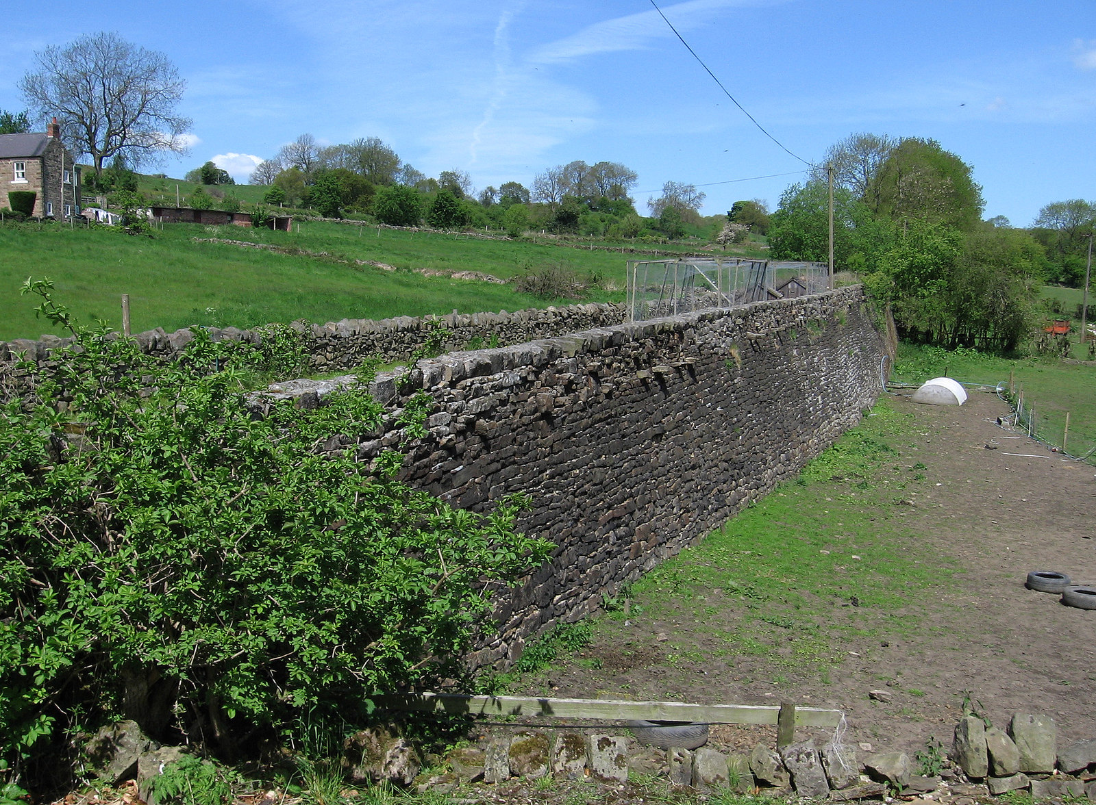
Mill Green is a small village located in Derbyshire, England. Situated in the Amber Valley district, it is nestled amidst picturesque countryside and offers a peaceful and idyllic setting for its residents. The village is surrounded by rolling hills, lush green fields, and charming countryside views, making it a popular destination for nature lovers and those seeking a tranquil retreat.
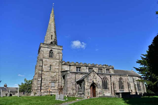
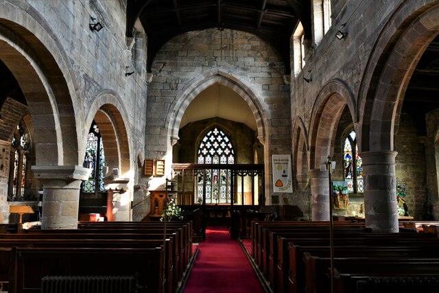
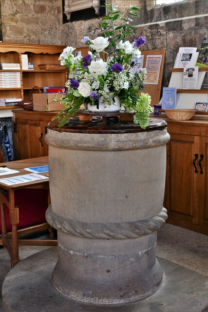
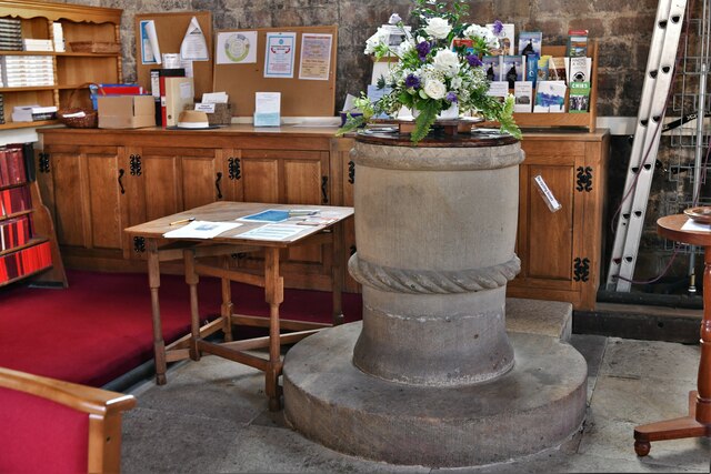
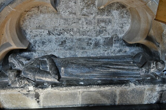
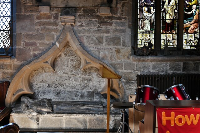
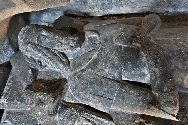
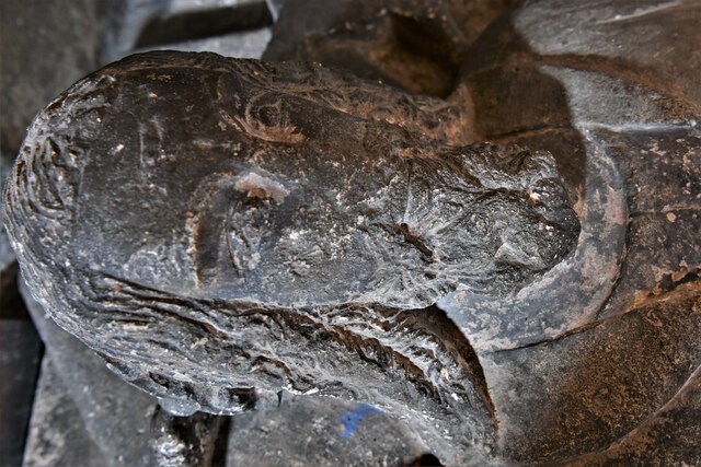
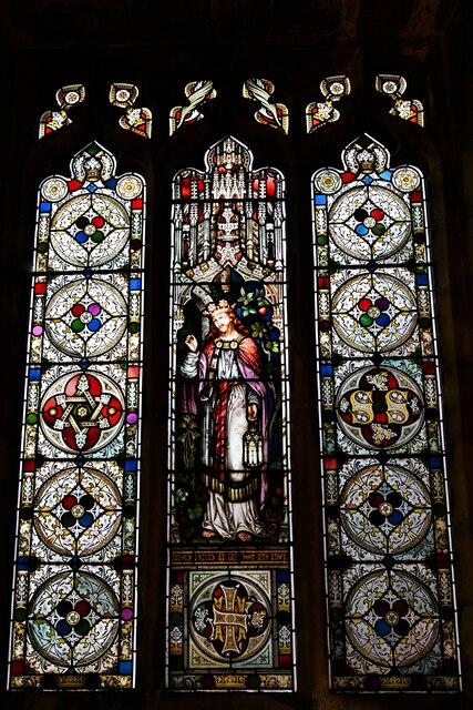
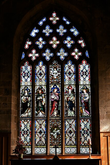
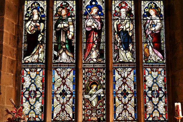
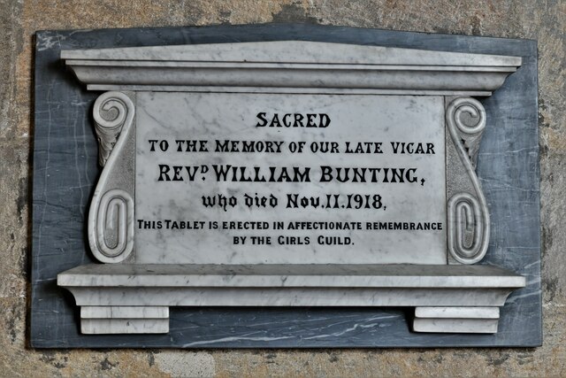
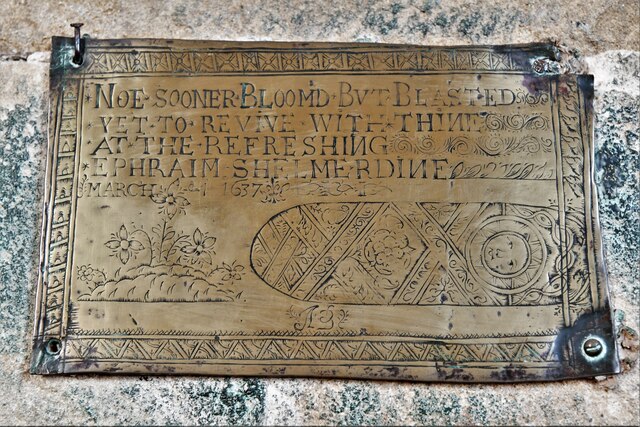
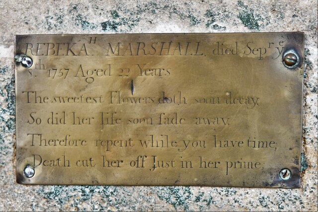
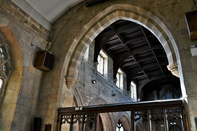
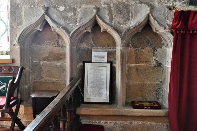
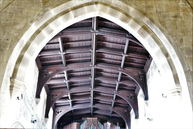
In terms of infrastructure, Mill Green is a relatively small and close-knit community, with a limited number of houses and amenities. The village retains its rustic charm and traditional architecture, with many historic buildings still standing proudly. The local church, St. John the Baptist, is a notable landmark and serves as a spiritual center for the village.
While Mill Green may lack in terms of commercial establishments and facilities, residents have easy access to nearby towns and villages for their day-to-day needs. The village is conveniently located within a short distance from the bustling market town of Belper, where a wider range of amenities, including shops, supermarkets, schools, and healthcare facilities, can be found.
Mill Green also benefits from its proximity to the Peak District National Park, which is just a stone's throw away. This allows residents to enjoy a plethora of outdoor activities, such as hiking, cycling, and exploring the natural beauty of the area.
Overall, Mill Green offers a charming and peaceful lifestyle for its residents, with its stunning countryside surroundings and easy access to nearby amenities and outdoor adventures.
If you have any feedback on the listing, please let us know in the comments section below.
Mill Green Images
Images are sourced within 2km of 53.075103/-1.4641925 or Grid Reference SK3553. Thanks to Geograph Open Source API. All images are credited.

Mill Green is located at Grid Ref: SK3553 (Lat: 53.075103, Lng: -1.4641925)
Administrative County: Derbyshire
District: Amber Valley
Police Authority: Derbyshire
What 3 Words
///immediate.knocking.format. Near South Wingfield, Derbyshire
Nearby Locations
Related Wikis
Butterley Gangroad
The Butterley Gangroad was an early tramway in Derbyshire of approximately 3 ft 6 in (1,067 mm) gauge, which linked Hilt's Quarry and other limestone quarries...

Fritchley Tunnel
Fritchley Tunnel is a disused railway tunnel at Fritchley in Derbyshire, England, which is believed to be the oldest surviving example in the world. The...

Fritchley
Fritchley is a small village in Derbyshire, England, situated to the south of Crich and north of Ambergate. It falls under the civil parish of Crich. To...

Bullbridge
Bullbridge is a small village in Derbyshire. The Bull bridge accident, in which a railway bridge failed as a goods train was just passing over it, happened...
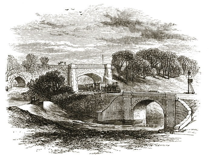
Bull bridge accident
The Bull Bridge accident was a failure of a cast-iron bridge at Bullbridge, near Ambergate in Derbyshire on 26 September 1860. As a goods train was passing...
Bullbridge Aqueduct
The Bull Bridge Aqueduct was situated on the Cromford Canal, built in 1794, at Bullbridge east of Ambergate along the Amber Valley, where it turned sharply...

Crich
Crich is a village in the English county of Derbyshire. The population at the 2001 Census was 2,821, increasing to 2,898 at the 2011 Census (including...

Cromford Canal
The Cromford Canal ran 14.5 miles (23.3 kilometres) from Cromford to the Erewash Canal in Derbyshire, England with a branch to Pinxton. Built by William...
Nearby Amenities
Located within 500m of 53.075103,-1.4641925Have you been to Mill Green?
Leave your review of Mill Green below (or comments, questions and feedback).