Mill End

Settlement in Bedfordshire

England

Mill End

Staploe Road, Begwary
Staploe Road, Begwary Credit: David Howard

The requested URL returned error: 429 Too Many Requests

If you have any feedback on the listing, please let us know in the comments section below.
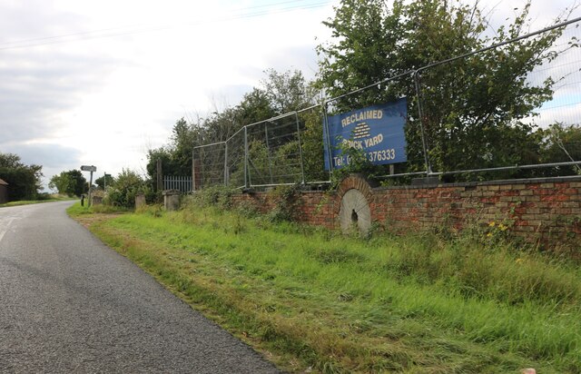
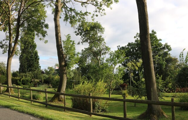
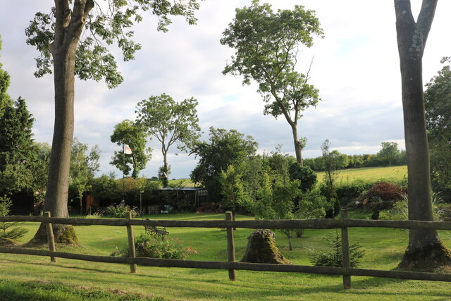
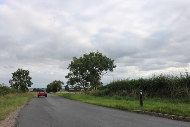
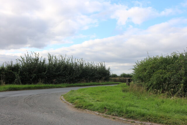
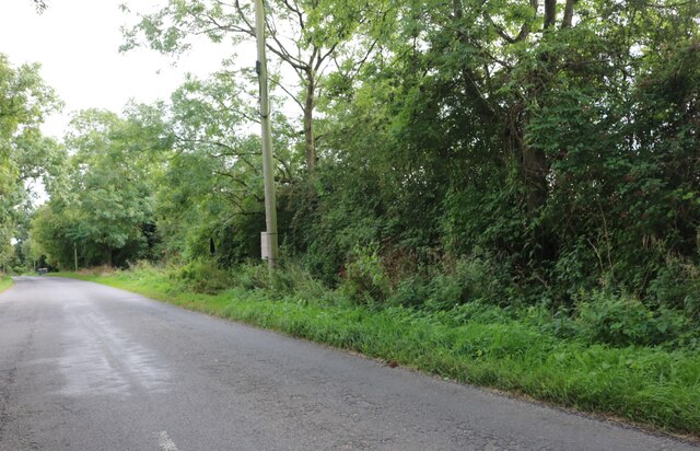
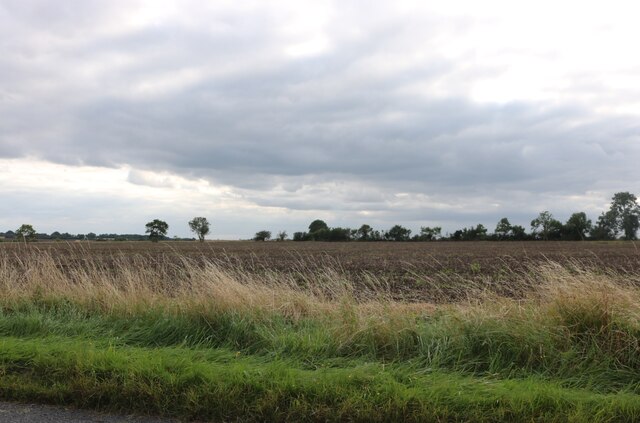
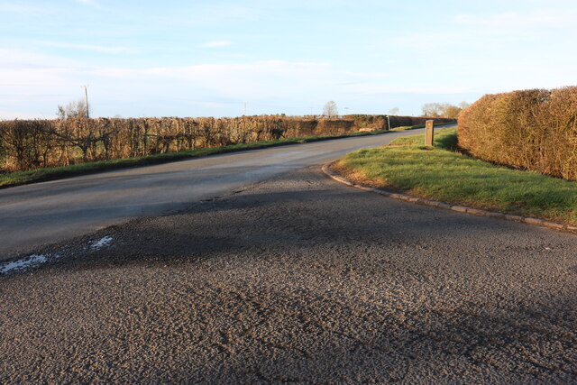
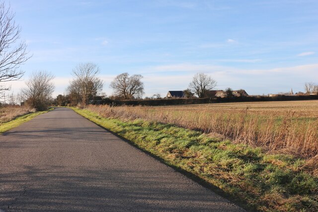
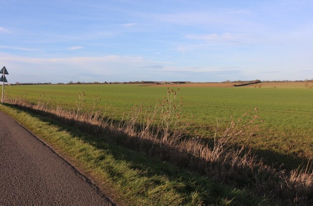
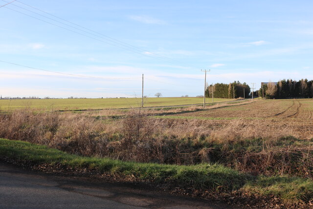
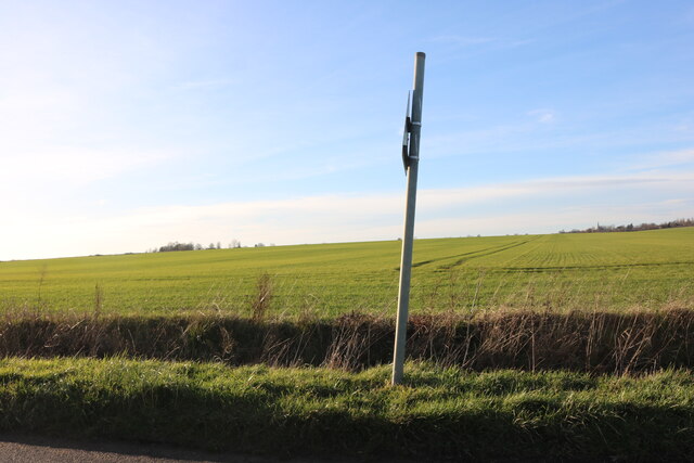
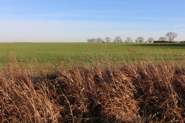
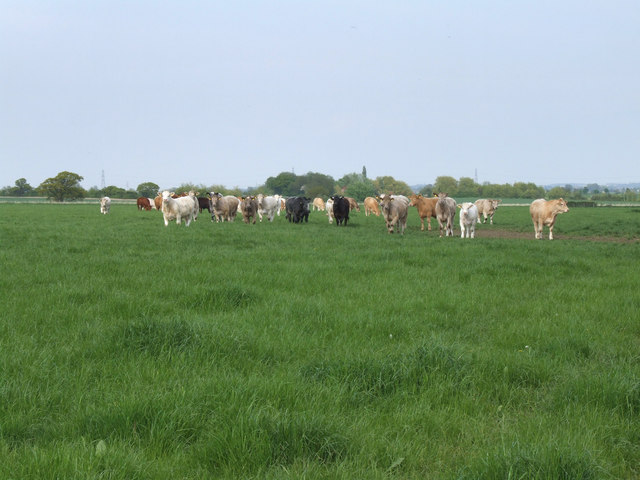
Mill End Images

Images are sourced within 2km of 52.203686/-0.37446746 or Grid Reference TL1157. Thanks to Geograph Open Source API. All images are credited.

Staploe Road, Begwary
Begwary Lane The village has a name but appears to consist of a farm seen on the right.
Begwary Lane
The village has a name but appears to consist of a farm seen on the right.
Mill Road, Mill End
Mill Road, Mill End
Garden at New Farm, Colesden It's not a public garden but a garden seen by the public.
Garden at New Farm, Colesden
It's not a public garden but a garden seen by the public.
Garden at New Farm, Colesden
Chequers Hill, East End
Mill Road at the junction of Church Road
Wilden Road, Rootham's Green
Field in Wilden
Field in Wilden
Mill Road at the junction of Church Road I've been here before <a title="https://www.geograph.org.uk/photo/7052976" href="https://www.geograph.org.uk/photo/7052976">Link</a>
Mill Road at the junction of Church Road
I've been here before Link
Mill Road, Mill End
Mill Road, Mill End
Field by Mill Road, Begwary
Fields in Begwary Looking towards Begwary Lane from Staploe Road
Fields in Begwary
Looking towards Begwary Lane from Staploe Road
Field by Mill Road, Begwary
Cattle at White House Farm. On their way to the farm for milking these cattle paused to take a look at the photographer.
Cattle at White House Farm.
On their way to the farm for milking these cattle paused to take a look at the photographer.
Signpost in the Bedfordshire countryside.
Fenced Square at Duck's Cross
Show me another place!

Mill End is located at Grid Ref: TL1157 (Lat: 52.203686, Lng: -0.37446746)

Unitary Authority: Bedford

Police Authority: Bedfordshire

What 3 Words

///stubbed.suspect.earlobes. Near Colmworth, Bedfordshire

Nearby Locations

Mill End

Related Wikis

Duck's Cross

Duck's Cross is a hamlet located in the Borough of Bedford in Bedfordshire, England. The settlement forms part of Colmworth civil parish, though Duck's...

Church of St Denys, Colmworth

Church of St Denys is a Grade I listed church in Colmworth, Bedfordshire, England. It became a listed building on 13 July 1964.The four stage west tower...

Colmworth

Colmworth is a village and civil parish in the Borough of Bedford in the county of Bedfordshire, England about 6.5 miles (10 km) north-east of Bedford...

Begwary

Begwary is a small hamlet in the parish of Staploe in the Borough of Bedford, Bedfordshire, England. == References ==

Nearby Amenities

Located within 500m of 52.203686,-0.37446746
Mill End
Place: locality
Source: OS_OpenData_StreetView
Lat/Long: 52.2038964/-0.3745219
The data included in this document is from www.openstreetmap.org. The data is made available under ODbL.

Have you been to Mill End?

Leave your review of Mill End below (or comments, questions and feedback).