Mill End

Settlement in Worcestershire Wychavon

England

Mill End

Riverside patio at the Fleet Inn Looking east across the river Avon flood plain. Just the place to relax on a sunny afternoon!
<span class="nowrap"><a title="http://www.fleet-inn.co.uk/" rel="nofollow ugc noopener" href="http://www.fleet-inn.co.uk/">Link</a><img style="margin-left:2px;" alt="External link" title="External link - shift click to open in new window" src="https://s1.geograph.org.uk/img/external.png" width="10" height="10"/></span>
<a href="https://www.geograph.org.uk/photo/1567284">SO9036 : Fleet Inn, Twyning</a>
Riverside patio at the Fleet Inn Credit: Trevor Rickard

Mill End is a quaint village located in the county of Worcestershire, England. Situated in the heart of the picturesque Teme Valley, this peaceful hamlet offers a charming escape from the hustle and bustle of city life. The village is nestled on the banks of the River Teme, surrounded by verdant rolling hills and lush countryside.

The main focal point of Mill End is the historic Mill End House, a beautiful Grade II listed building dating back to the 17th century. This elegant manor house adds to the village's character and serves as a reminder of its rich heritage. The house is surrounded by well-maintained gardens, providing a tranquil spot for residents and visitors alike to enjoy.

Although small in size, Mill End boasts a strong sense of community, with a close-knit population of friendly locals. The village is home to a small number of traditional cottages, adding to its charm and rural appeal. Residents can enjoy the peace and tranquility of the countryside, while still being within reach of larger towns and cities, such as Worcester and Kidderminster.

Nature lovers will appreciate the abundance of outdoor activities available in the surrounding area. The nearby Teme Valley offers scenic walking and cycling routes, with stunning views of the river and surrounding hills. Fishing enthusiasts can also take advantage of the river's well-stocked waters.

Overall, Mill End is a hidden gem in Worcestershire, offering a peaceful and idyllic countryside retreat with a strong sense of community and plenty of natural beauty to enjoy.

If you have any feedback on the listing, please let us know in the comments section below.
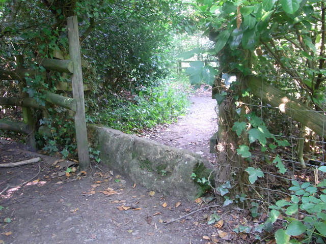
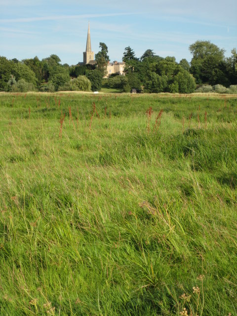
Mill End Images

Images are sourced within 2km of 52.035327/-2.1150877 or Grid Reference SO9237. Thanks to Geograph Open Source API. All images are credited.

Riverside patio at the Fleet Inn Looking east across the river Avon flood plain. Just the place to relax on a sunny afternoon!
<span class="nowrap"><a title="http://www.fleet-inn.co.uk/" rel="nofollow ugc noopener" href="http://www.fleet-inn.co.uk/">Link</a><img style="margin-left:2px;" alt="External link" title="External link - shift click to open in new window" src="https://s1.geograph.org.uk/img/external.png" width="10" height="10"/></span>
<a href="https://www.geograph.org.uk/photo/1567284">SO9036 : Fleet Inn, Twyning</a>
Riverside patio at the Fleet Inn
Looking east across the river Avon flood plain. Just the place to relax on a sunny afternoon! LinkExternal link SO9036 : Fleet Inn, Twyning
Pond near R.Avon,  Bredon Taken from footpath 512.
Pond near R.Avon, Bredon
Taken from footpath 512.
Footpath over railway bridge, Bredon
Cross-field to B 4080 Footpath over to the main road, Bredon/Westmancote area.
Cross-field to B 4080
Footpath over to the main road, Bredon/Westmancote area.
Old stone on footpath/boundary No barrier to cyclists or horse-riders, Bredon.
Old stone on footpath/boundary
No barrier to cyclists or horse-riders, Bredon.
How old do you feel ? Abandoned stile and sign inside Bredon Tithe Barn, National Trust property.
How old do you feel ?
Abandoned stile and sign inside Bredon Tithe Barn, National Trust property.
M5 Motorway - Worcestershire Border Sign Northbound
Roadworks at the M5 bridge The B4080's remarkably oblique bridge is receiving attention.
Roadworks at the M5 bridge
The B4080's remarkably oblique bridge is receiving attention.
B4080 in Bredon
B4080 in Bredon
Old pub in Bredon village
Curve on Moreton Lane (B4080)
B4080 at the junction for Westmancote
Across the valley to Rectory Farm
B4080 at the junction for Bredon's Norton
Lane to Home Farm, Bredon's Norton
Eastern end of the lane to Home Farm
House at a lane junction, Bredon's Norton
Lane in Bredon's Norton
Show me another place!

Mill End is located at Grid Ref: SO9237 (Lat: 52.035327, Lng: -2.1150877)

Administrative County: Worcestershire

District: Wychavon

Police Authority: West Merica

What 3 Words

///crunchy.name.timed. Near Bredon, Worcestershire

Nearby Locations

Mill End

Related Wikis

Upham Meadow and Summer Leasow

Upham Meadow and Summer Leasow (grid reference SO917375) is a 104.0-hectare (257-acre) biological Site of Special Scientific Interest on the border between...

Bredon

Bredon is a village and civil parish in Wychavon district at the southern edge of Worcestershire in England. It lies on the banks of the River Avon on...
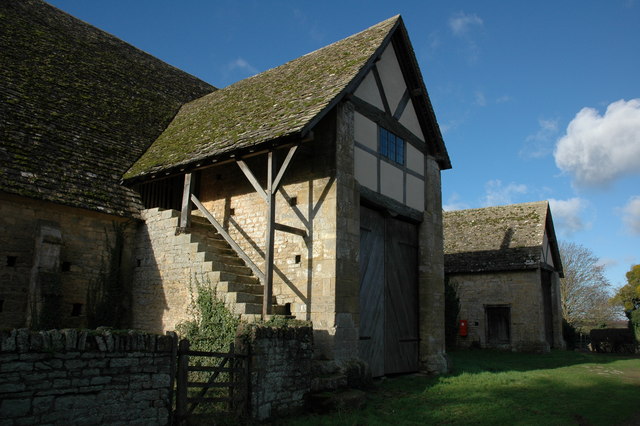
Bredon Barn

Bredon Barn is a large 14th-century threshing barn located at Bredon, Worcestershire, England, standing close to the River Avon.The barn was built for...

Bredon railway station

Bredon railway station was on the Birmingham–Gloucester railway line to the north of Ashchurch for Tewkesbury railway station. The station closed in 1965...

Nearby Amenities

Located within 500m of 52.035327,-2.1150877
Barrier: stile
Foot: yes
Lat/Long: 52.032607/-2.1130147
Post Box
Brand: Royal Mail
Brand Wikidata: Q638098
Collection Times: Mo-Fr 17:00; Sa 12:30
Operator: Royal Mail
Operator Wikidata: Q638098
Post Box Mounting: wall
Post Box Type: wall
Postal Code: GL20 7
Ref: GL20 15
Royal Cypher: GR
Royal Cypher Wikidata: Q33102273
Lat/Long: 52.0309553/-2.1141231
Barrier: kissing_gate
Lat/Long: 52.0312181/-2.1174646
Parking
Access: customers
Lat/Long: 52.0315708/-2.1175739
Fixme: incomplete
Lat/Long: 52.0370312/-2.1136899
Barrier: kissing_gate
Lat/Long: 52.036985/-2.1134674
Barrier: kissing_gate
Lat/Long: 52.0392343/-2.1135492
Leisure: slipway
Lat/Long: 52.0338961/-2.1167208
Barrier: lytch_gate
Lat/Long: 52.0312568/-2.1174692
Bredon Central
Location Transition: yes
Power: pole
Source: Bing
Transformer: distribution
Voltage Primary: 11000
Lat/Long: 52.032266/-2.1136612
Dock Lane
Power: pole
Source: Bing
Transformer: distribution
Voltage Primary: 11000
Lat/Long: 52.0335758/-2.114494
Power: pole
Source: Bing
Lat/Long: 52.0333756/-2.1135741
Power: pole
Source: Bing
Lat/Long: 52.033181/-2.1126667
Power: pole
Source: Bing
Lat/Long: 52.0327102/-2.1129189
Entrance: main
Lat/Long: 52.0309334/-2.1140185
Defibrillator
Emergency: defibrillator
Indoor: no
Location: On exterior wall of Drapers Shop, just to the left of the main entrance.
Ref: RT-1335
Lat/Long: 52.0309404/-2.1140476
Grit Bin
Operator: Worcesterhire Highways
Ref: A128
Lat/Long: 52.0331219/-2.1163683
Fixme: There are 3 houses signed at the bottom of this drive: Springbank, The Quest. and Dock Cottage. Where is the third one?
Lat/Long: 52.0326257/-2.1155514
Generator Location: roof
Generator Method: photovoltaic
Generator Orientation: 235
Generator Output Electricity: yes
Generator Solar Modules: 16
Generator Source: solar
Generator Type: solar_photovoltaic_panel
Power: generator
Lat/Long: 52.0326748/-2.1155057
Bredon North
Power: pole
Transformer: distribution
Voltage Primary: 11000
Lat/Long: 52.0364216/-2.1133849
West Hurst
Power: pole
Transformer: distribution
Voltage Primary: 11000
Lat/Long: 52.0373324/-2.1107832
Power: pole
Lat/Long: 52.0368572/-2.1117327
Power: pole
Lat/Long: 52.0363206/-2.1121578
Power: pole
Lat/Long: 52.0357625/-2.1126211
Power: pole
Lat/Long: 52.0351128/-2.1118527
Power: pole
Lat/Long: 52.0344148/-2.1110386
Power: pole
Lat/Long: 52.0329173/-2.1095688
Power: pole
Lat/Long: 52.0337226/-2.110238
Power: pole
Lat/Long: 52.033459/-2.1113887
Pam Frith Art
Addr City: Tewkesbury
Addr Housename: Cover Point
Addr Postcode: GL20 7LH
Addr Street: Back Lane
Addr Village: Bredon
Alt Name: Back Lane Garage Shop
Contact Facebook: https://www.facebook.com/Pam-Frith-Art-105927167545150/
Shop: art
Lat/Long: 52.0314808/-2.1142665
Post Office
Addr City: Tewkesbury
Addr Country: GB
Addr Postcode: GL20 7LA
Addr Street: Church Street
Addr Village: Bredon
Brand: Post Office
Brand Wikidata: Q1783168
Opening Hours: Mo-Fr 09:00-17:00; Sa 09:00-12:00
Operator: Spar
Operator Wikidata: Q610492
Ref Pol Id: 3771
Website: https://www.postoffice.co.uk/branch-finder/1615238/bredon
Lat/Long: 52.0310275/-2.1139857
The data included in this document is from www.openstreetmap.org. The data is made available under ODbL.

Have you been to Mill End?

Leave your review of Mill End below (or comments, questions and feedback).