Middle End
Settlement in Bedfordshire
England
Middle End
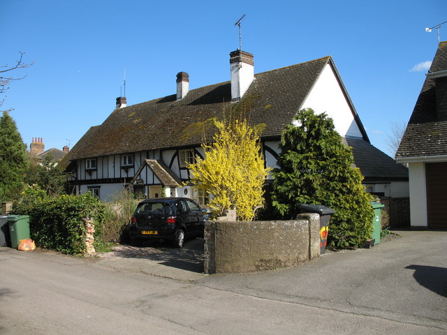
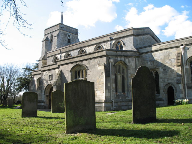
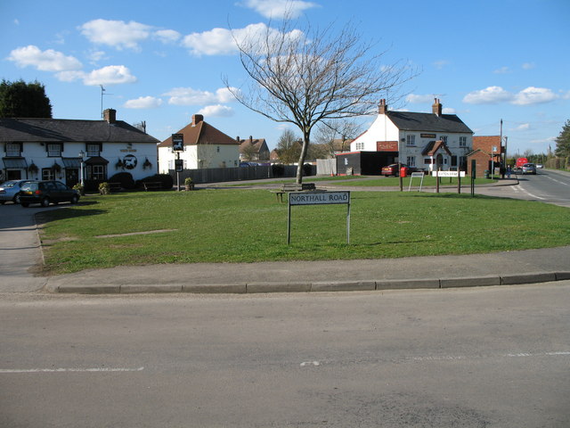
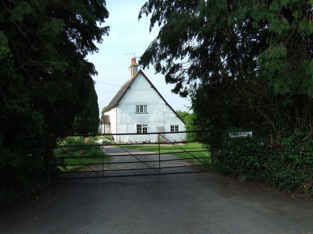
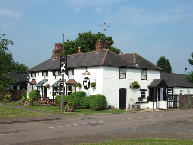
Middle End is a small village located in the county of Bedfordshire, England. Situated on the outskirts of the town of Ampthill, Middle End offers a peaceful and rural setting amidst the picturesque countryside of the region. The village is known for its charming and historic character, with many traditional cottages and buildings that date back several centuries.
Despite its small size, Middle End has a strong sense of community and is home to a friendly and welcoming population. The village has a close-knit community spirit, with various local events and activities organized throughout the year, including fairs, fundraisers, and social gatherings.
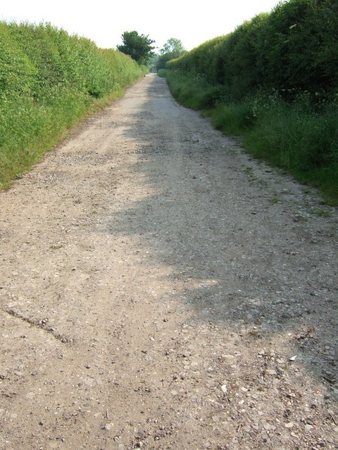
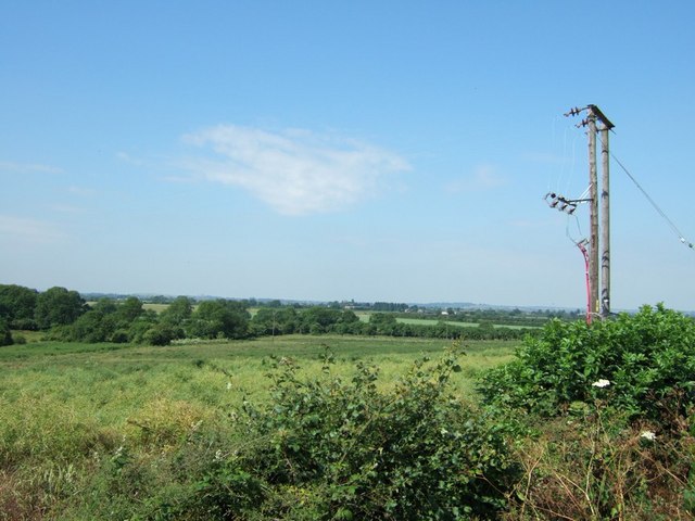
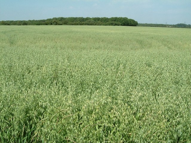
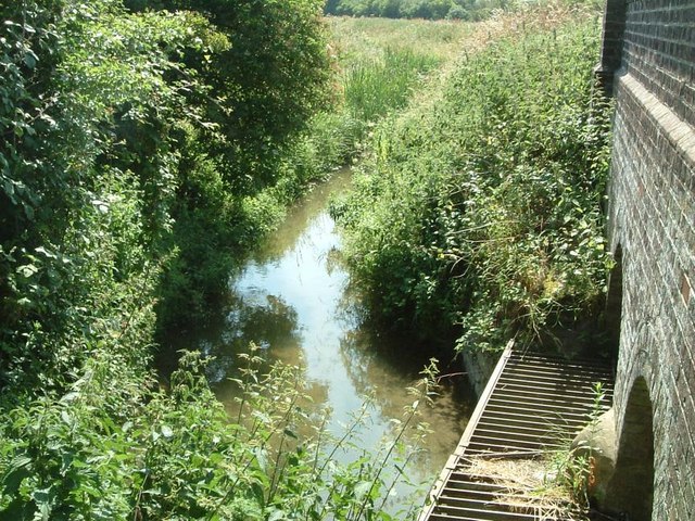
Nature enthusiasts will find themselves drawn to the natural beauty that surrounds Middle End. The village is surrounded by rolling hills, meadows, and woodlands, providing ample opportunities for walking, hiking, and enjoying the outdoors. The nearby Ampthill Great Park offers expansive green spaces, perfect for picnics, sports, or simply relaxing amidst nature.
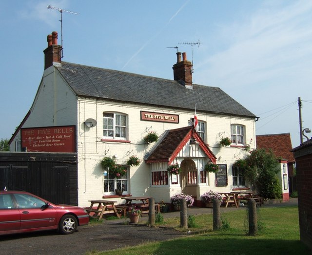
For those seeking amenities and conveniences, Middle End benefits from its proximity to Ampthill, which offers a range of shops, supermarkets, restaurants, and pubs. The town also boasts a number of historical attractions, including the famous Houghton House, a 17th-century mansion that is now a popular tourist destination.
Overall, Middle End, Bedfordshire offers a tranquil and idyllic place to live, with its beautiful surroundings, strong sense of community, and easy access to nearby amenities.
If you have any feedback on the listing, please let us know in the comments section below.
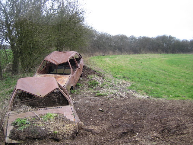
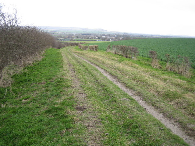
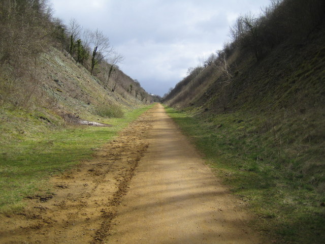
Middle End Images
Images are sourced within 2km of 51.886343/-0.57671249 or Grid Reference SP9821. Thanks to Geograph Open Source API. All images are credited.
Middle End is located at Grid Ref: SP9821 (Lat: 51.886343, Lng: -0.57671249)
Unitary Authority: Central Bedfordshire
Police Authority: Bedfordshire
What 3 Words
///charge.soils.stump. Near Totternhoe, Bedfordshire
Nearby Locations
Related Wikis

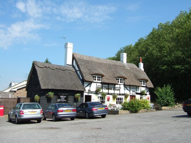
The Cross Keys, Totternhoe
The Cross Keys is a Grade II listed pub in Totternhoe, Bedfordshire, England It is a 17th-century thatched building and the first floor is timber-framed...

Totternhoe nature reserve
Totternhoe nature reserve is managed by the Wildlife Trust for Bedfordshire, Cambridgeshire and Northamptonshire (WTBCN). The 31-hectare (77-acre) site...

Totternhoe Castle
Totternhoe Castle was a Norman castle in Totternhoe. Bedfordshire. Only earthworks survive. It is a Scheduled Monument, and part of Totternhoe Knolls Site...

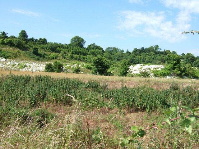
Totternhoe Stone Pit
Totternhoe Stone Pit is a geological Site of Special Scientific Interest in Totternhoe in Bedfordshire, England. It is also a Geological Conservation Review...
Nearby Amenities
Located within 500m of 51.886343,-0.57671249Have you been to Middle End?
Leave your review of Middle End below (or comments, questions and feedback).