Mid Altass
Settlement in Sutherland
Scotland
Mid Altass
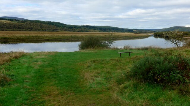
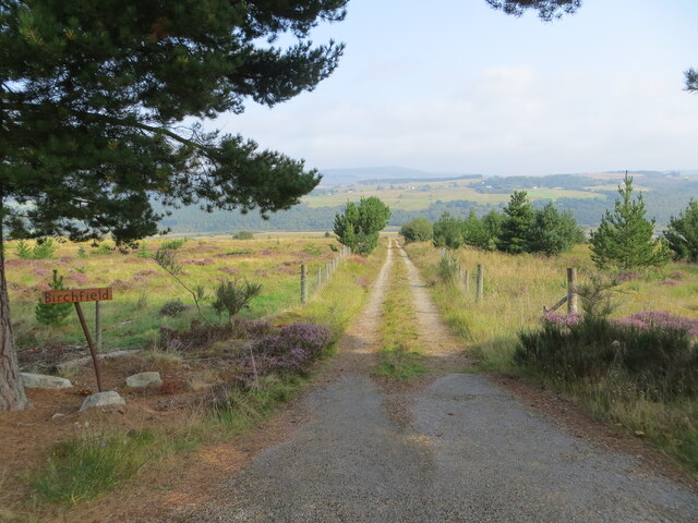
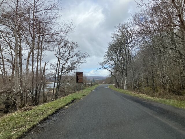
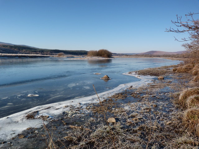
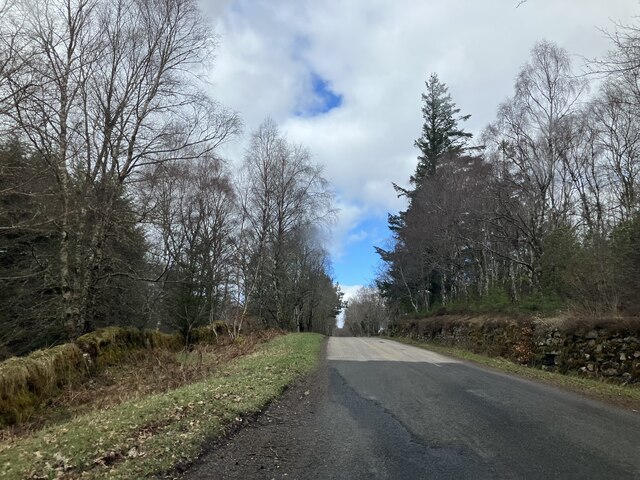
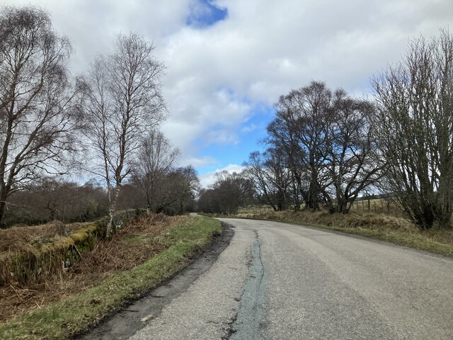
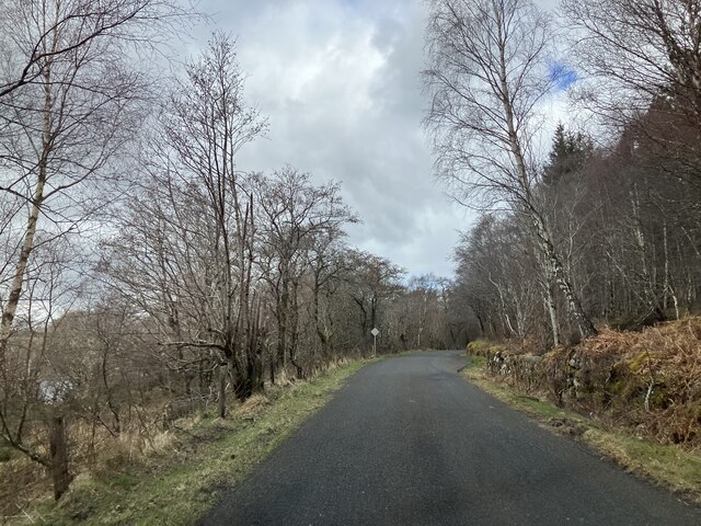
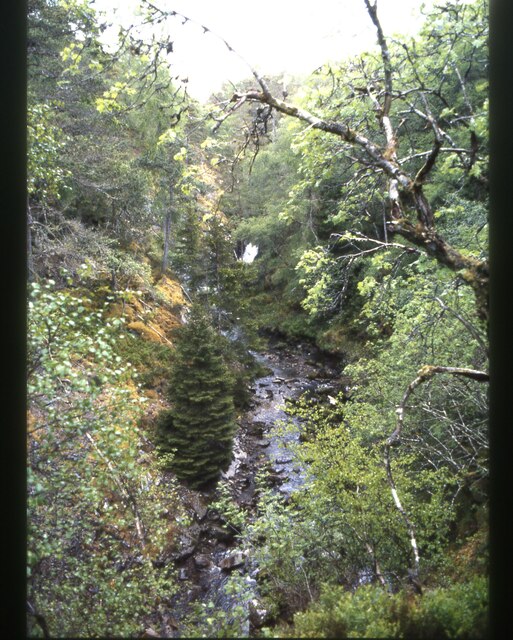
Mid Altass is a small hamlet located in the county of Sutherland, in the northern part of Scotland. Situated amidst the striking landscapes of the Scottish Highlands, it is nestled along the banks of the River Oykel. The hamlet is part of the larger parish of Creich, which encompasses several other nearby settlements.
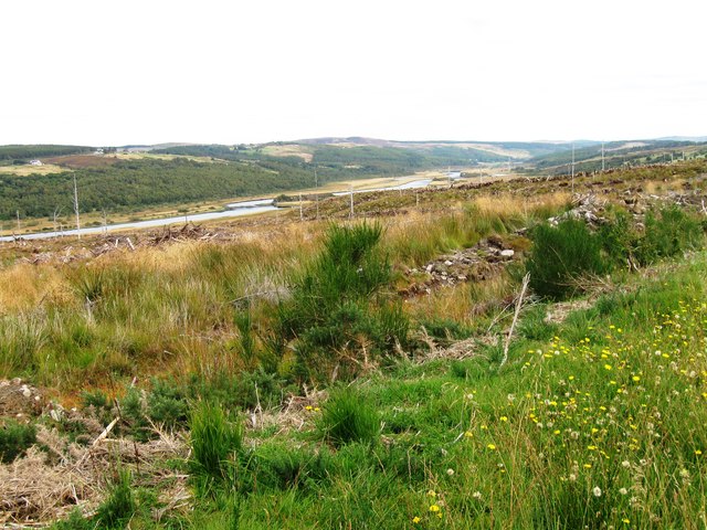
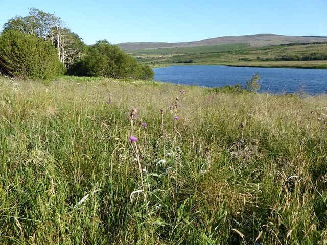
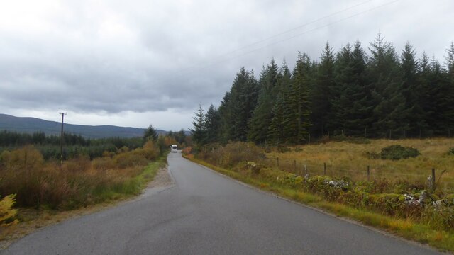
With its remote and picturesque setting, Mid Altass offers a tranquil escape for residents and visitors alike. Surrounded by rolling hills, vast moorlands, and dense forests, it is a haven for those seeking outdoor pursuits such as hiking, fishing, and birdwatching. The nearby Loch Shin provides opportunities for water-based activities, including boating and kayaking.
The hamlet itself consists of a small cluster of traditional cottages and farmhouses, which reflect the area's rich history and agricultural heritage. The architecture is predominantly rustic and charming, evoking a sense of old-world charm.
Despite its small size, Mid Altass boasts a close-knit community that takes pride in its local traditions and cultural events. The area is known for its traditional Highland games, where participants compete in various athletic activities such as caber tossing and hammer throwing. These events attract locals and tourists alike, fostering a sense of camaraderie and celebration.
In terms of amenities, Mid Altass has limited facilities, with a few shops and pubs catering to the basic needs of residents and visitors. However, for more extensive services and amenities, the nearby towns of Ardgay and Bonar Bridge are easily accessible by road.
Overall, Mid Altass offers a charming and idyllic retreat for nature enthusiasts and those seeking a peaceful getaway amidst the stunning landscapes of the Scottish Highlands.
If you have any feedback on the listing, please let us know in the comments section below.
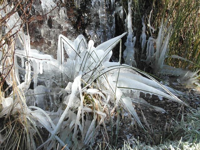
Mid Altass Images
Images are sourced within 2km of 57.968044/-4.5440118 or Grid Reference NC4900. Thanks to Geograph Open Source API. All images are credited.


Mid Altass is located at Grid Ref: NC4900 (Lat: 57.968044, Lng: -4.5440118)
Unitary Authority: Highland
Police Authority: Highlands and Islands
What 3 Words
///moved.honeybees.easily. Near Lairg, Highland
Nearby Locations
Related Wikis

Altass
Altass (Scottish Gaelic: Alltais) is a village in the Parish of Creich, near Lairg, Sutherland, within the Highland, Scotland and is in the council area...

River Cassley
The River Cassley (Scottish Gaelic: Abhainn Charsla, pronounced [ˈa.ɪɲ ˈxaɾs̪l̪ˠə]) in Sutherland, in northern Scotland, joins the River Oykel to form...

Achnahanat
Achnahanat (Scottish Gaelic: Achadh na h-Annaid) is a crofting settlement on the south side of the Kyle of Sutherland in Scotland. It is about 4 miles...

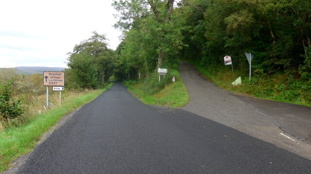
Rosehall
Rosehall is a remote hamlet in the Parish of Creich near the confluence of the River Cassley and the River Oykel, 1 mile northwest of Altass, in Sutherland...
Related Videos

Steam Train Locomotive On Dingwall To Skye Railway Line On History Visit To Highlands Of Scotland
Tour Scotland short travel 4K video clip of the sight and sounds of a steam train locomotive near Ravens' Rock summit on the ...
Nearby Amenities
Located within 500m of 57.968044,-4.5440118Have you been to Mid Altass?
Leave your review of Mid Altass below (or comments, questions and feedback).