Meadgate West

Settlement in Somerset

England

Meadgate West

Stoneage Lane An unusual name for a lane, but one that is quite old.
Stoneage Lane Credit: Neil Owen

Meadgate West is a picturesque village located in Somerset, Southwest England. Nestled amidst the stunning countryside, this quaint rural community offers a tranquil and idyllic setting for its residents. Situated just a few miles away from the bustling town of Taunton, Meadgate West provides the perfect balance between peaceful countryside living and easy access to urban amenities.

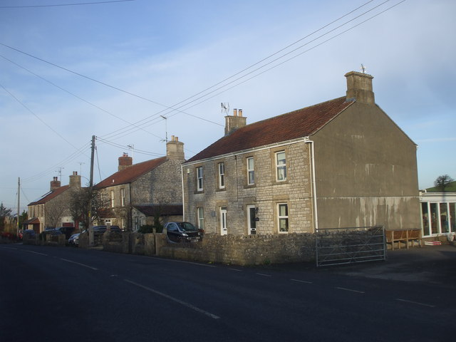
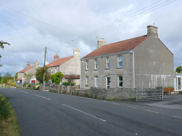
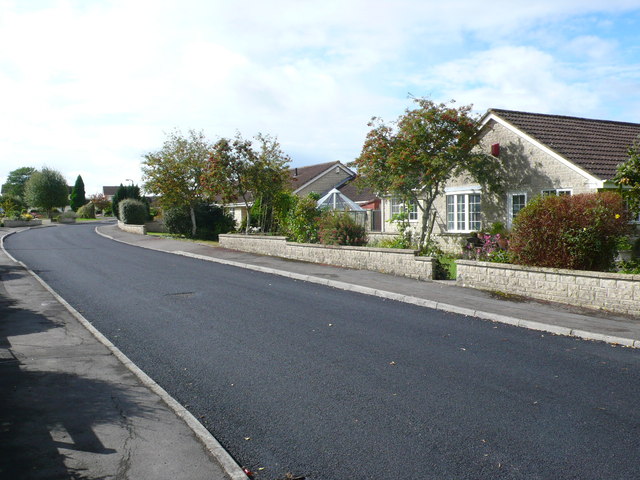
The village is characterized by its charming thatched-roof cottages, traditional architecture, and well-maintained gardens. The local community takes great pride in preserving its historic heritage, and many of the buildings date back several centuries. Meadgate West is known for its strong sense of community spirit, with regular events and activities organized by local residents throughout the year.

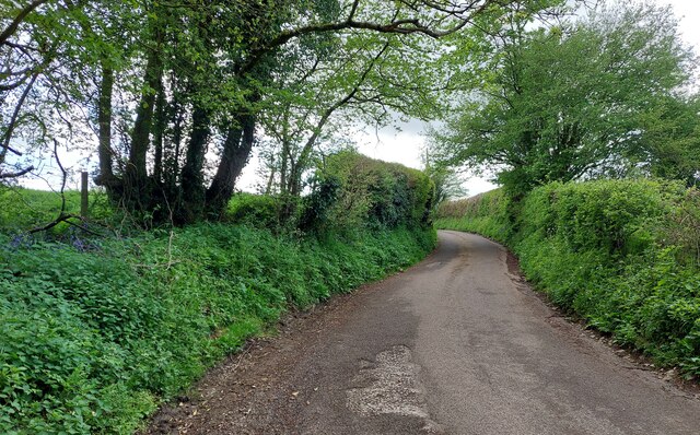
Surrounded by rolling hills and scenic landscapes, Meadgate West offers an abundance of outdoor recreational opportunities. The nearby Quantock Hills, designated as an Area of Outstanding Natural Beauty, provide ample space for hiking, cycling, and horseback riding. Additionally, the village is home to several well-maintained parks and green spaces, perfect for leisurely walks or picnics.

For amenities, Meadgate West benefits from its proximity to Taunton, which offers a range of shops, supermarkets, restaurants, and entertainment options. The village itself boasts a small but well-stocked community shop, providing essential groceries and other basic necessities.

In conclusion, Meadgate West is a charming and picturesque village in Somerset, offering residents a peaceful countryside lifestyle with easy access to nearby urban amenities. Its strong sense of community, historic architecture, and beautiful natural surroundings make it an ideal place to call home.

If you have any feedback on the listing, please let us know in the comments section below.

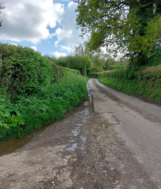
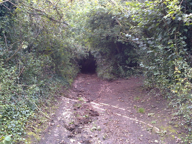
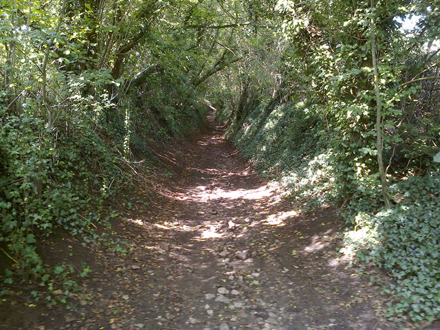
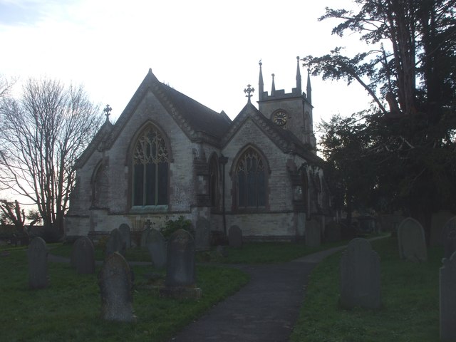
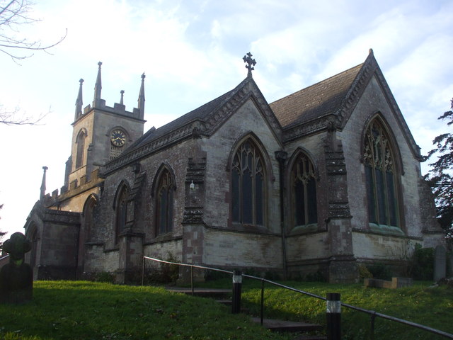
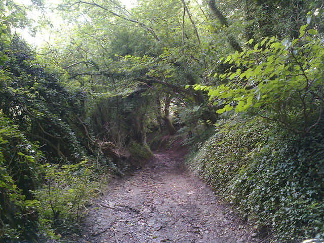
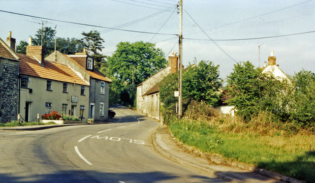
Meadgate West Images

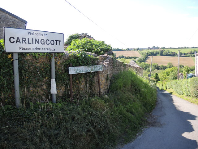
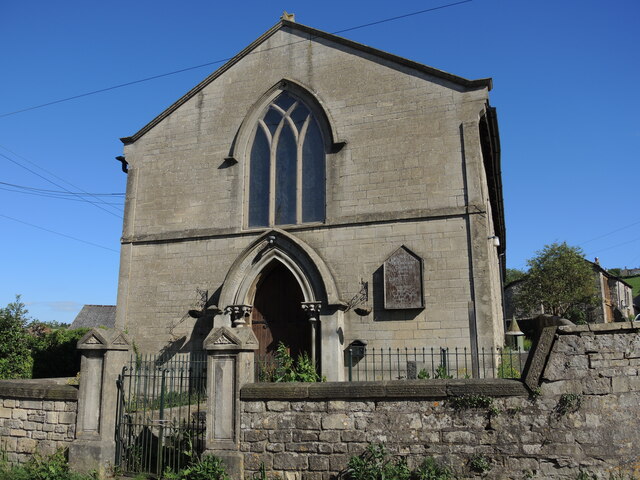
Images are sourced within 2km of 51.324815/-2.4618308 or Grid Reference ST6758. Thanks to Geograph Open Source API. All images are credited.

Stoneage Lane An unusual name for a lane, but one that is quite old.
Stoneage Lane
An unusual name for a lane, but one that is quite old.
Carlingcott Methodist church The building was founded in 1851, along with a schoolroom, as a United Free Methodist church. They faced some competition not far up the road in the form of a Wesleyan chapel. The Free church later became the Carlingcott Methodist chapel, before closure a few years ago. The church, its attached gates, piers and flanking walls are Grade II listed.
Carlingcott Methodist church
The building was founded in 1851, along with a schoolroom, as a United Free Methodist church. They faced some competition not far up the road in the form of a Wesleyan chapel. The Free church later became the Carlingcott Methodist chapel, before closure a few years ago. The church, its attached gates, piers and flanking walls are Grade II listed.
Difficult to notice Carlingcott Methodist church appears to have been disused for a few years, as the old wooden notice shows.
Difficult to notice
Carlingcott Methodist church appears to have been disused for a few years, as the old wooden notice shows.
Priston Lane This quiet lane leads southwards from the village of Priston towards Tunley Farm, but like other roads out of Priston it has dog-legs, one of which cuts across a corner of this square.  On this May afternoon in a year with a late spring the verges were rich in wild flowers including bluebells (seen on the left) and red campion.
Priston Lane
This quiet lane leads southwards from the village of Priston towards Tunley Farm, but like other roads out of Priston it has dog-legs, one of which cuts across a corner of this square. On this May afternoon in a year with a late spring the verges were rich in wild flowers including bluebells (seen on the left) and red campion.
Priston Lane/The Woodlands Looking towards Priston Wood down this lane rich in wild flowers and devoid of traffic on the Sunday afternoon of a bank holiday weekend. The stretch of lane visible in the foreground is Priston Lane, that in the distance is The Woodlands.  At some point in between one turns into the other.
Priston Lane/The Woodlands
Looking towards Priston Wood down this lane rich in wild flowers and devoid of traffic on the Sunday afternoon of a bank holiday weekend. The stretch of lane visible in the foreground is Priston Lane, that in the distance is The Woodlands. At some point in between one turns into the other.
Mill Lane Looking downhill from close to where the footpath crosses the byway
Mill Lane
Looking downhill from close to where the footpath crosses the byway
Mill Lane BOAT Looking uphill at the point where the footpath crosses the byway
Mill Lane BOAT
Looking uphill at the point where the footpath crosses the byway
Houses at the point where Timsbury Rd is about to become Bloomfield Rd, near Bloomfield
St Mary's Church, Timsbury
Houses on Bloomfield Road. These attractive stone built semi detached houses are on the east side of Bloomfield Rd between Farmborough and Timsbury. Bloomfield is the northern part of Timsbury.
Houses on Bloomfield Road.
These attractive stone built semi detached houses are on the east side of Bloomfield Rd between Farmborough and Timsbury. Bloomfield is the northern part of Timsbury.
Somerset Folly Somerset Folly is a twisting residential street consisting mainly of rather boring grey bungalows. It runs west from The Avenue to St Mary's Close.
Somerset Folly
Somerset Folly is a twisting residential street consisting mainly of rather boring grey bungalows. It runs west from The Avenue to St Mary's Close.
Site of Demolished Works This is the site of the former works of the Wheeler Reconstructed Stone Company which produces artificial stone from a mix of cement and crushed Bath stone.This is used in new build house projects as a cheap replacement for natural stone. They appear to have relocated to Marsh Lane, Temple Cloud but it is uncertain if they are still manufacturing. In this image it can be seen that on the remaining site there appears to be evidence of an old kiln , perhaps a lime kiln.
Site of Demolished Works
This is the site of the former works of the Wheeler Reconstructed Stone Company which produces artificial stone from a mix of cement and crushed Bath stone.This is used in new build house projects as a cheap replacement for natural stone. They appear to have relocated to Marsh Lane, Temple Cloud but it is uncertain if they are still manufacturing. In this image it can be seen that on the remaining site there appears to be evidence of an old kiln , perhaps a lime kiln.
Houses on Priorshill These houses are at the bottom of Priorshill where it joins Loves Hill. Priorshill rises up to the hamlet of Tyning
Houses on Priorshill
These houses are at the bottom of Priorshill where it joins Loves Hill. Priorshill rises up to the hamlet of Tyning
Bridleway sign on Parkway Lane Although the tarmac continues to Wallmead Cottage, the public road ends here for motor vehicles unless you have resident's access rights.  Parkway Lane is a bridleway from this point northwards.  A public footpath also crosses the road here and Newton Brook passes under it.
Bridleway sign on Parkway Lane
Although the tarmac continues to Wallmead Cottage, the public road ends here for motor vehicles unless you have resident's access rights. Parkway Lane is a bridleway from this point northwards. A public footpath also crosses the road here and Newton Brook passes under it.
Parkway Lane Tarmac surface all the way to the end of the lane.
Parkway Lane
Tarmac surface all the way to the end of the lane.
Mill Lane Looking downhill just before the byway becomes a sunken lane in a deep gulley.
Mill Lane
Looking downhill just before the byway becomes a sunken lane in a deep gulley.
Camerton: site of station, 1987 View northward, across the course of the GWR Limpley Stoke (right) - Hallatrow (left) branch, which was closed way back on 21/9/25 - after only 15 years, to goods from 15/2/51. No trace seems to be left.
Camerton: site of station, 1987
View northward, across the course of the GWR Limpley Stoke (right) - Hallatrow (left) branch, which was closed way back on 21/9/25 - after only 15 years, to goods from 15/2/51. No trace seems to be left.
Show me another place!

Meadgate West is located at Grid Ref: ST6758 (Lat: 51.324815, Lng: -2.4618308)

Unitary Authority: Bath and North East Somerset

Police Authority: Avon and Somerset

What 3 Words

///fillings.giants.garage. Near Camerton, Somerset

Nearby Locations

Hook Meadgate West

Related Wikis

Camerton railway station (Somerset)

Camerton (Somerset) railway station served the village of Camerton, England from 1882 to 1951 on the Bristol and North Somerset Railway. In common with...

Tunley Camp

Tunley Camp is an vallate Iron Age hill fort situated approximately 0.8 miles (1.3 km) north-east from the small village of Camerton in the Bath and North...

Radford and Timsbury Halt railway station

Radford and Timsbury Halt railway station was on the Camerton branch of the Great Western Railway in Somerset, England. It was in use from 1910 until 1915...

Camerton, Somerset

Camerton is a village and civil parish in Somerset, 6 miles (9.7 km) south west of Bath, lying on the Cam Brook. The parish has a population of 655....

Nearby Amenities

Located within 500m of 51.324815,-2.4618308
Meadgate
Place: hamlet
Source Ref: NPE
Wikidata: Q2254894
Wikipedia: en:Timsbury, Somerset
Lat/Long: 51.3232504/-2.4567291
Mini Roundabout
Lat/Long: 51.3261212/-2.459964
Post Box
Brand: Royal Mail
Brand Wikidata: Q638098
Operator: Royal Mail
Operator Wikidata: Q638098
Post Box Type: wall
Ref: BA2 193
Lat/Long: 51.3261268/-2.4600474
Bus Stop
The Lodge
Bus: yes
Naptan AtcoCode: 0180BAC31022
Naptan Bearing: W
Naptan CommonName: The Lodge
Naptan Crossing: Lansdown Crescent
Naptan NaptanCode: bthdadt
Naptan Street: Hook Hill
Naptan Verified: no
Public Transport: platform
Shelter: no
Source: naptan_import
Lat/Long: 51.3266045/-2.4679247
Bus Stop
Camerton Turn
Bus: yes
Naptan AtcoCode: 0180BAC31023
Naptan Bearing: NE
Naptan CommonName: Camerton Turn
Naptan NaptanCode: bthdajp
Naptan Street: Weekesley Lane
Naptan Verified: no
Public Transport: platform
Shelter: yes
Source: naptan_import
Lat/Long: 51.3252457/-2.4613664
Bus Stop
Weeksley Lane
Bus: yes
Naptan AtcoCode: 0180BAC31024
Naptan Bearing: SW
Naptan CommonName: Weeksley Lane
Naptan Crossing: Weekesley Lane
Naptan NaptanCode: bthdajw
Naptan Street: Tunley Hill
Naptan Verified: no
Public Transport: platform
Source: naptan_import
Lat/Long: 51.3263858/-2.4595552
Bus Stop
Weeksley Lane
Naptan AtcoCode: 0180BAC31025
Naptan Bearing: NE
Naptan CommonName: Weeksley Lane
Naptan Crossing: Weekesley Lane
Naptan NaptanCode: bthdamg
Naptan Street: Tunley Hill
Naptan Verified: no
Source: naptan_import
Lat/Long: 51.326693/-2.4591851
Bus Stop
Sheephouse Fm
Naptan AtcoCode: 0180BAC31066
Naptan Bearing: SE
Naptan CommonName: Sheephouse Fm
Naptan NaptanCode: bthdapg
Naptan Street: Camerton Road
Naptan Verified: no
Source: naptan_import
Lat/Long: 51.3231264/-2.4577833
Bus Stop
Camerton Turn
Bus: yes
Naptan AtcoCode: 0180BAC56443
Naptan Bearing: SW
Naptan CommonName: Camerton Turn
Naptan NaptanCode: bthmpjg
Naptan Street: Weekesley Lane
Naptan Verified: no
Public Transport: platform
Shelter: no
Source: naptan_import
Lat/Long: 51.3251741/-2.4612796
Barrier: kissing_gate
Lat/Long: 51.3243961/-2.466306
Crossing
Crossing: unmarked
Crossing Island: yes
Tactile Paving: yes
Lat/Long: 51.3272214/-2.458015
Cafe
Meadgate Farm Shop Cafe
Addr Postcode: BA2 0NH
Fhrs Id: 860486
Lat/Long: 51.3232403/-2.4638417
Meadgate East
Place: hamlet
Wikidata: Q2254894
Wikipedia: en:Timsbury, Somerset
Lat/Long: 51.327944/-2.4580718
Meadgate West
Place: hamlet
Wikidata: Q2254894
Wikipedia: en:Timsbury, Somerset
Lat/Long: 51.3262676/-2.4623108
Telephone
Booth: K8
Covered: booth
Lat/Long: 51.3268035/-2.4589727
Power: pole
Lat/Long: 51.3249082/-2.4557689
Power: pole
Lat/Long: 51.3242662/-2.457287
Power: pole
Lat/Long: 51.323755/-2.4585557
Power: pole
Lat/Long: 51.3232756/-2.4596232
Power: pole
Lat/Long: 51.3228163/-2.4607229
Power: pole
Lat/Long: 51.322119/-2.4618924
Power: pole
Lat/Long: 51.3214636/-2.4629894
Power: pole
Lat/Long: 51.3206825/-2.4643949
Barrier: kissing_gate
Lat/Long: 51.324816/-2.4666025
Barrier: kissing_gate
Lat/Long: 51.3232746/-2.4650877
Barrier: kissing_gate
Lat/Long: 51.3225194/-2.4635771
Power: pole
Lat/Long: 51.3287534/-2.4599012
Power: pole
Lat/Long: 51.3282033/-2.4586076
Power: pole
Transformer: distribution
Lat/Long: 51.3276182/-2.4572439
Power: pole
Lat/Long: 51.3275287/-2.4668417
Power: pole
Lat/Long: 51.327615/-2.4656384
Power: pole
Lat/Long: 51.3273053/-2.464428
Power: pole
Lat/Long: 51.3270643/-2.4636282
Power: pole
Lat/Long: 51.3266596/-2.4642533
Power: pole
Lat/Long: 51.3262802/-2.464844
Power: pole
Lat/Long: 51.3274723/-2.4627262
Power: pole
Lat/Long: 51.3268755/-2.4631862
Power: pole
Lat/Long: 51.32634/-2.4625674
Power: pole
Transformer: distribution
Lat/Long: 51.3259942/-2.4652713
Power: pole
Lat/Long: 51.3253901/-2.4661936
Power: pole
Lat/Long: 51.325002/-2.4679799
Power: pole
Transformer: distribution
Lat/Long: 51.3256183/-2.461799
Power: pole
Lat/Long: 51.327911/-2.461736
Power: pole
Lat/Long: 51.3270118/-2.4558547
Power: pole
Lat/Long: 51.3275631/-2.4571099
Power: pole
Lat/Long: 51.3269446/-2.45833
Power: pole
Transformer: distribution
Lat/Long: 51.3267133/-2.4588262
Generator Method: photovoltaic
Generator Output Electricity: yes
Generator Source: solar
Generator Type: solar_photovoltaic_panel
Location: roof
Power: generator
Lat/Long: 51.3271178/-2.4585127
Waste Basket
Lat/Long: 51.325261/-2.4613377
Advertising: board
Support: poles
Lat/Long: 51.3247791/-2.4617843
Power: pole
Transformer: distribution
Lat/Long: 51.3223932/-2.463938
Power: pole
Lat/Long: 51.3228105/-2.4648066
Power: pole
Lat/Long: 51.3232468/-2.4656846
Power: pole
Lat/Long: 51.3238787/-2.4661469
Power: pole
Lat/Long: 51.3245192/-2.4665836
Power: pole
Transformer: distribution
Lat/Long: 51.3225043/-2.456549
The data included in this document is from www.openstreetmap.org. The data is made available under ODbL.

Have you been to Meadgate West?

Leave your review of Meadgate West below (or comments, questions and feedback).