Lynch Wood

Settlement in Huntingdonshire

England

Lynch Wood

Vetchfield, road
Vetchfield, road Credit: Alex McGregor

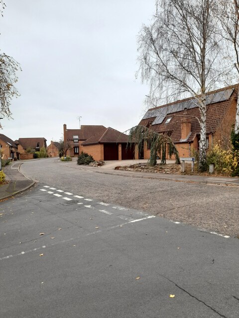
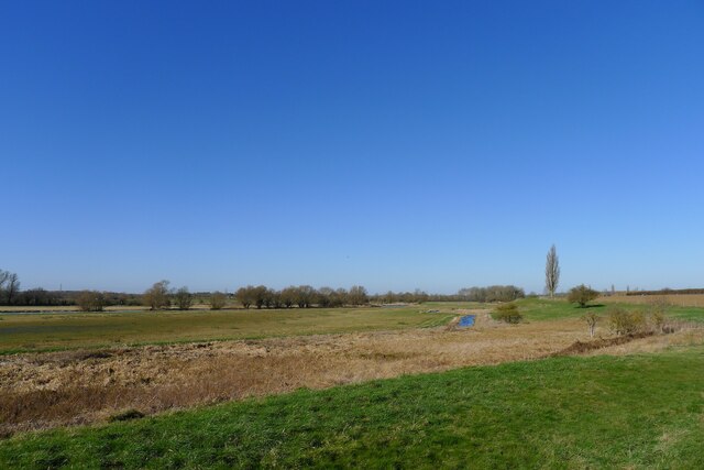
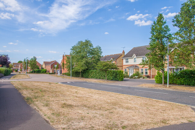
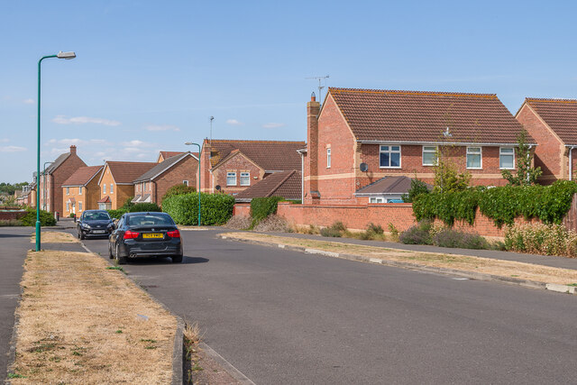
Lynch Wood is a small village located in the district of Huntingdonshire, Cambridgeshire, England. Situated just south of the River Great Ouse, it is part of the civil parish of Alconbury Weston. The village is surrounded by picturesque countryside, offering residents and visitors a tranquil and scenic environment.

Historically, Lynch Wood was primarily an agricultural settlement, with farming being the main occupation of its inhabitants. Over the years, however, the village has seen some development and diversification, with a mix of residential and commercial properties now dotting the landscape.

The village is well-connected to nearby towns and cities, with the A1(M) motorway just a short drive away, providing easy access to Peterborough and Cambridge. The nearby Huntingdon railway station also offers convenient rail links to London and other major cities.

Lynch Wood boasts a close-knit community, with a range of amenities to cater to the needs of its residents. These include a village hall, local shops, a primary school, and a pub, providing a sense of community and meeting places for social gatherings.

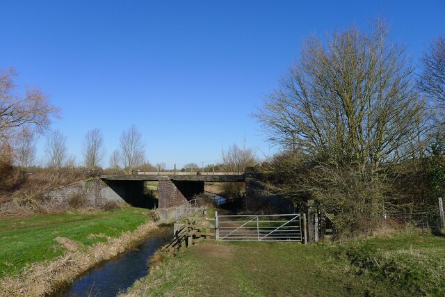
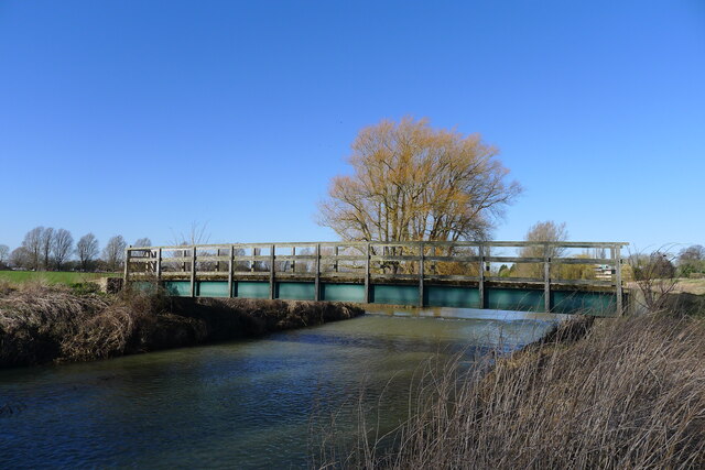
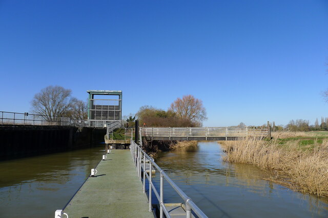
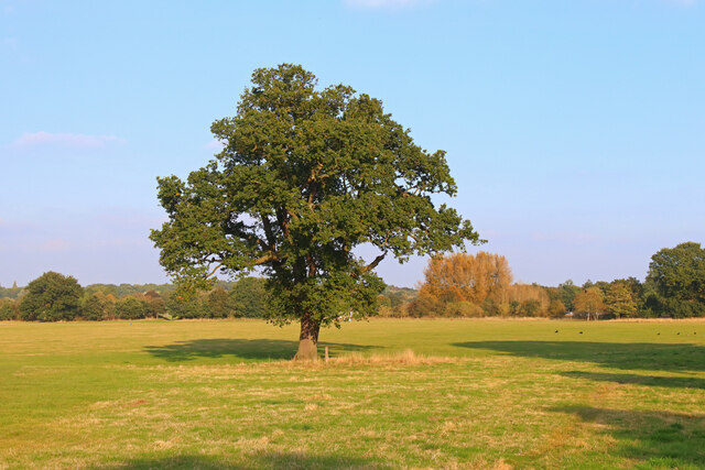
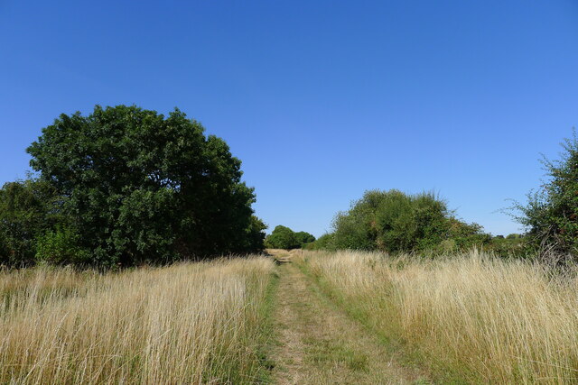
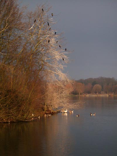
Surrounded by nature, Lynch Wood offers plenty of opportunities for outdoor activities. The nearby River Great Ouse is a popular spot for boating, fishing, and riverside walks. The village is also close to the Alconbury Weald Country Park, a vast green space with walking trails and a variety of wildlife.

Overall, Lynch Wood is a charming village that combines the tranquility of rural living with easy access to amenities and nearby urban areas.

If you have any feedback on the listing, please let us know in the comments section below.
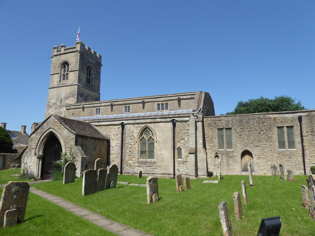
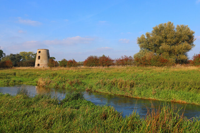
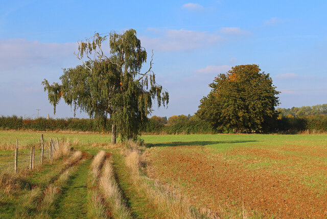
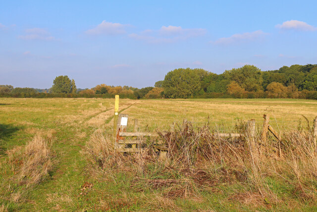
Lynch Wood Images

Images are sourced within 2km of 52.552239/-0.3201994 or Grid Reference TL1396. Thanks to Geograph Open Source API. All images are credited.

Vetchfield, road
Vetchfield, road
The Nene Valley Railway line crossing Splash Dike "Nene Valley Railway is the UK’s leading international steam attraction ... " <span class="nowrap"><a title="https://www.nvr.org.uk/" rel="nofollow ugc noopener" href="https://www.nvr.org.uk/">Link</a><img style="margin-left:2px;" alt="External link" title="External link - shift click to open in new window" src="https://s1.geograph.org.uk/img/external.png" width="10" height="10"/></span>
The Nene Valley Railway line crossing Splash Dike
"Nene Valley Railway is the UK’s leading international steam attraction ... " LinkExternal link
Castor Mills A mid 19th century tower windmill and, behind left, an early 19th century water mill undergoing restoration  <span class="nowrap"><a title="https://historicengland.org.uk/listing/the-list/list-entry/1162635" rel="nofollow ugc noopener" href="https://historicengland.org.uk/listing/the-list/list-entry/1162635">Link</a><img style="margin-left:2px;" alt="External link" title="External link - shift click to open in new window" src="https://s1.geograph.org.uk/img/external.png" width="10" height="10"/></span>
Castor Mills
A mid 19th century tower windmill and, behind left, an early 19th century water mill undergoing restoration LinkExternal link
The Hereward Way crossing Back Dike The dike is a short, separate course of the Nene supplying Castor Mill. The small area of land to the left of the bridge, essentially an island between two courses of the river, is Nene Park's 'East Holmes' (see description for <a href="https://www.geograph.org.uk/photo/7110621">TL1097 : Footpath along West Holmes</a>)
The Hereward Way crossing Back Dike
The dike is a short, separate course of the Nene supplying Castor Mill. The small area of land to the left of the bridge, essentially an island between two courses of the river, is Nene Park's 'East Holmes' (see description for TL1097 : Footpath along West Holmes)
Alwalton Lock A common lock type on the Nene: a steel guillotine lock gate on the downstream side, and 'conventional' double 'V door', wooden gates upstream.
Alwalton Lock
A common lock type on the Nene: a steel guillotine lock gate on the downstream side, and 'conventional' double 'V door', wooden gates upstream.
The Nene flood plain west of Peterborough The Roman garrison town of Durobrivae used to sit on the far bank of the Nene, behind the line of trees  <span class="nowrap"><a title="https://en.wikipedia.org/wiki/Durobrivae_(Water_Newton)" rel="nofollow ugc noopener" href="https://en.wikipedia.org/wiki/Durobrivae_(Water_Newton)">Link</a><img style="margin-left:2px;" alt="External link" title="External link - shift click to open in new window" src="https://s1.geograph.org.uk/img/external.png" width="10" height="10"/></span>
The Nene flood plain west of Peterborough
The Roman garrison town of Durobrivae used to sit on the far bank of the Nene, behind the line of trees LinkExternal link
Alwalton, St Andrew
Alwalton, St Andrew
Chesterton, St Michael
Orton Waterville, St Mary
Former Windmill Windmill near Castor on the River Nene.
Former Windmill
Windmill near Castor on the River Nene.
Footpath near the River Nene Sharp turn in the path near Castor.
Footpath near the River Nene
Sharp turn in the path near Castor.
Nene Way Footpath near Castor.
Nene Way
Footpath near Castor.
Lynch Bridge Nene Valley Railway, near Peterborough.
Lynch Bridge
Nene Valley Railway, near Peterborough.
Ferry Meadows Prominent tree, in Ferry Meadows.
Ferry Meadows
Prominent tree, in Ferry Meadows.
Landy Green Way Marked as a footpath. But a parish council notice says that horse riders have temporary permission to use it (i.e.treat it as a bridleway?).
Landy Green Way
Marked as a footpath. But a parish council notice says that horse riders have temporary permission to use it (i.e.treat it as a bridleway?).
South gate, East of England Showground Side entrance to the East of England Showground off Dunblane Drive.
South gate, East of England Showground
Side entrance to the East of England Showground off Dunblane Drive.
Dunblane Drive 1990s housing.
Dunblane Drive
1990s housing.
Dunblane Drive 1990s housing.
Dunblane Drive
1990s housing.
Show me another place!

Lynch Wood is located at Grid Ref: TL1396 (Lat: 52.552239, Lng: -0.3201994)

Unitary Authority: Peterborough

Police Authority: Cambridgeshire

What 3 Words

///myself.mutual.nets. Near Castor, Cambridgeshire

Nearby Locations

Lynch Wood

Related Wikis

Greatest Hits Radio South

Greatest Hits Radio South is a regional radio station serving the South of England, as part of Bauer’s Greatest Hits Radio network. == Coverage == The...

Alwalton

Alwalton is a village and civil parish in Cambridgeshire, England. Alwalton lies approximately 5 miles (8 km) west of Peterborough city centre. Alwalton...

East of England Showground

The East of England Showground is a large showground area (667,731sqm) located on East of England Way near Peterborough, Cambridgeshire, England. The Showground...

Ferry Meadows railway station

Ferry Meadows is a station on the Nene Valley Railway between Wansford and Orton Mere. The current station has one platform, and has no car park of its...

Nene Park, Peterborough

Nene Park is a country park in the city of Peterborough, Cambridgeshire in the United Kingdom. Opened in 1978, it occupies a site approximately three and...
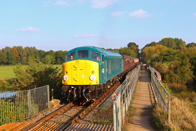
Nene Valley Railway

The Nene Valley Railway (NVR) is a preserved railway in Cambridgeshire, England, running between Peterborough Nene Valley and Yarwell Junction. The line...

Chesterton, Huntingdonshire

Chesterton is a small village and civil parish of exactly 56 households in Cambridgeshire, England. The village lies approximately 5 miles (8 km) west...

Castor Flood Meadows

Castor Flood Meadows is a 41.8-hectare (103-acre) biological Site of Special Scientific Interest on the western outskirts of Peterborough in Cambridgeshire...

Nearby Amenities

Located within 500m of 52.552239,-0.3201994
Barrier: height_restrictor
Maxheight: 2
Lat/Long: 52.5506213/-0.3234526
Crossing
Crossing: unmarked
Tactile Paving: no
Lat/Long: 52.5523953/-0.3132432
Holiday Inn Express Peterborough
Addr City: Peterborough
Addr Postcode: PE2 6HE
Addr Street: East Of England Way
Brand: Holiday Inn Express
Brand Wikidata: Q5880423
Fhrs Id: 433907
Internet Access: wlan
Operator: Holiday Inn Express
Tourism: hotel
Wheelchair: yes
Lat/Long: 52.5483448/-0.3233621
Restaurant
Harvester Alwalton
Addr City: Peterborough
Addr Country: GB
Addr Postcode: PE2 6HE
Addr Street: East Of England Way
Brand: Harvester
Brand Wikidata: Q5676915
Brand Wikipedia: en:Harvester (restaurant)
Contact Website: https://www.harvester.co.uk/restaurants/eastofengland/harvesteralwaltonpeterborough
Cuisine: american
Fhrs Id: 246931
Operator: Harvester
Lat/Long: 52.5490213/-0.3227564
Post Box
Post Box Design: type_k
Post Box Type: pillar
Ref: PE2 243
Royal Cypher: EIIR
Royal Cypher Wikidata: Q33102113
Lat/Long: 52.5519082/-0.321781
Crossing
Bicycle: yes
Crossing: unmarked
Kerb: lowered
Source: Bing
Lat/Long: 52.5563046/-0.3181094
Crossing
Bicycle: yes
Crossing Island: yes
Kerb: lowered
Source: Bing
Lat/Long: 52.5556256/-0.3166546
Barrier: bollard
Bicycle: designated
Foot: designated
Motor Vehicle: no
Lat/Long: 52.5514642/-0.3235457
Barrier: cycle_barrier
Lat/Long: 52.5513594/-0.3197657
Kindergarten
Whiz Kids Day Nursery
Addr City: Peterborough
Addr Housenumber: 60
Addr Postcode: PE2 6FL
Addr Street: Innovation Way
Fhrs Id: 783846
Lat/Long: 52.5505288/-0.3210338
Barrier: lift_gate
Lat/Long: 52.5507871/-0.3214601
Post Box
Ref: PE2 356
Lat/Long: 52.5552929/-0.3149141
Orton Northgate
Is In: Peterborough
Place: suburb
Lat/Long: 52.5493289/-0.3196827
Lynch Wood
Is In: Peterborough
Place: suburb
Lat/Long: 52.5528665/-0.3206951
Crossing
Bicycle: yes
Crossing: unmarked
Kerb: lowered
Source: Bing
Lat/Long: 52.5556053/-0.3161396
Barrier: cycle_barrier
Bicycle: yes
Foot: yes
Motor Vehicle: no
Lat/Long: 52.5496138/-0.3221075
Crossing
Crossing: uncontrolled
Lat/Long: 52.5497883/-0.3222248
Crossing
Crossing: uncontrolled
Lat/Long: 52.5498679/-0.322275
Crossing
Button Operated: yes
Crossing: traffic_signals
Crossing Island: no
Tactile Paving: yes
Traffic Signals Sound: yes
Traffic Signals Vibration: yes
Lat/Long: 52.5512289/-0.3151298
Crossing
Crossing: unmarked
Kerb: lowered
Source: Bing
Lat/Long: 52.5552243/-0.3149839
Addr Housename: Linden Ley
Addr Housenumber: 1
Addr Street: Linden Gardens
Lat/Long: 52.551298/-0.3135316
Addr Housenumber: 2
Addr Street: Linden Gardens
Lat/Long: 52.5513551/-0.3133841
Addr Housenumber: 3
Addr Street: Linden Gardens
Lat/Long: 52.5513975/-0.313199
Waste Basket
Waste: dog_excrement
Lat/Long: 52.5494787/-0.3175965
Waste Basket
Lat/Long: 52.5487949/-0.320857
Addr Housenumber: 3
Addr Street: Loch Fyne Close
Survey Date: 2017-08-02
Lat/Long: 52.5489321/-0.3205967
Addr Housenumber: 1
Addr Street: Loch Fyne Close
Survey Date: 2017-08-02
Lat/Long: 52.5490508/-0.3203305
Addr Housenumber: 4
Addr Street: Loch Fyne Close
Survey Date: 2017-08-02
Lat/Long: 52.5492223/-0.3193174
Addr Housenumber: 6
Addr Street: Loch Fyne Close
Survey Date: 2017-08-02
Lat/Long: 52.549278/-0.319033
Addr Housenumber: 2
Addr Street: Arbroath Gardens
Survey Date: 2017-08-02
Lat/Long: 52.5495064/-0.3183455
Addr Housenumber: 4
Addr Street: Arbroath Gardens
Survey Date: 2017-08-02
Lat/Long: 52.5495594/-0.3180862
Addr Housename: Anderson's Shelter
Addr Housenumber: 2
Addr Street: Dundee Court
Survey Date: 2017-08-02
Lat/Long: 52.5496861/-0.3164713
Addr Housenumber: 4
Addr Street: Dundee Court
Survey Date: 2017-08-02
Lat/Long: 52.5497094/-0.3161268
Addr Housenumber: 7
Addr Street: Syke Close
Survey Date: 2017-08-02
Lat/Long: 52.5497687/-0.3148245
Addr Housenumber: 5
Addr Street: Syke Close
Survey Date: 2017-08-02
Lat/Long: 52.5498361/-0.3149528
Addr Housenumber: 3
Addr Street: Syke Close
Survey Date: 2017-08-02
Lat/Long: 52.5498338/-0.3151027
Addr Housenumber: 1
Addr Street: Syke Close
Survey Date: 2017-08-02
Lat/Long: 52.5498265/-0.3151829
Addr Housenumber: 19
Addr Street: Syke Close
Survey Date: 2017-08-02
Lat/Long: 52.5500118/-0.3152527
Addr Housenumber: 66
Addr Street: Syke Close
Survey Date: 2017-08-02
Lat/Long: 52.5503693/-0.3149465
Addr Housenumber: 68
Addr Street: Syke Close
Survey Date: 2017-08-02
Lat/Long: 52.550424/-0.3149447
Addr Housenumber: 70
Addr Street: Syke Close
Survey Date: 2017-08-02
Lat/Long: 52.5505787/-0.3149802
Playground: seesaw
Lat/Long: 52.5502274/-0.3155787
Playground: structure
Lat/Long: 52.5502775/-0.3156138
Bench
Lat/Long: 52.5502172/-0.3155334
Waste Basket
Lat/Long: 52.5502408/-0.3156809
Waste Basket
Lat/Long: 52.5502364/-0.3155331
Capacity: 2
Playground: swing
Lat/Long: 52.550196/-0.3156433
Waste Basket
Waste: dog_excrement
Lat/Long: 52.550229/-0.315163
Waste Basket
Lat/Long: 52.554814/-0.317077
Barrier: cycle_barrier
Lat/Long: 52.5548356/-0.3170291
Barrier: bollard
Lat/Long: 52.5539213/-0.3175449
Barrier: cycle_barrier
Lat/Long: 52.5546387/-0.3171628
Barrier: bollard
Lat/Long: 52.5539391/-0.3175856
Barrier: lift_gate
Lat/Long: 52.5525456/-0.3183427
Bus Stop
Lynch Wood, Commerce Road
Bench: yes
Network: stagecoach
Operator: Stagecoach
Public Transport: platform
Shelter: yes
Lat/Long: 52.5521771/-0.3206413
Bus Stop
Lynch Wood, Commerce Road
Bench: yes
Network: stagecoach
Operator: Stagecoach
Public Transport: platform
Shelter: yes
Lat/Long: 52.5520267/-0.3208036
Post Box
Post Box Type: meter
Ref: PE2 227
Lat/Long: 52.5519217/-0.321738
Barrier: cycle_barrier
Lat/Long: 52.551103/-0.3208241
Barrier: bollard
Lat/Long: 52.5510868/-0.3208908
Bench
Lat/Long: 52.551134/-0.3220377
Addr Housenumber: 16
Addr Street: Innovation Way
Lat/Long: 52.5512123/-0.3221383
Bus Stop
Lynch Wood, Showground
Bus: yes
Naptan AtcoCode: 0590PLW176
Naptan NaptanCode: PETGDAJ
Network: stagecoach
Operator: Stagecoach
Public Transport: platform
Lat/Long: 52.5503009/-0.3228786
Cummins Generator Technologies
Addr City: Peterborough
Addr Housename: Fountain Court
Addr Street: Lynch Wood
Office: company
Old Fhrs Id: 583046
Lat/Long: 52.553012/-0.3169019
Leisure: picnic_table
Lat/Long: 52.5527735/-0.323168
Leisure: picnic_table
Lat/Long: 52.5527987/-0.3232343
Leisure: picnic_table
Lat/Long: 52.5527794/-0.3232218
Leisure: picnic_table
Lat/Long: 52.5528089/-0.323211
Leisure: picnic_table
Lat/Long: 52.5527636/-0.3231994
Leisure: picnic_table
Lat/Long: 52.5527909/-0.3231896
Bench
Backrest: no
Lat/Long: 52.5525843/-0.3238282
Restaurant
Cast Iron Grill
Addr City: Peterborough
Addr Postcode: PE2 6GB
Level: 0
Wheelchair: yes
Lat/Long: 52.5498324/-0.3247133
Bus Stop
Lynch Wood Business Park
Bus: yes
Network: stagecoach
Operator: Stagecoach
Public Transport: platform
Lat/Long: 52.5528508/-0.3145885
Bus Stop
Lynch Wood, Diligenta
Bus: yes
Public Transport: platform
Lat/Long: 52.5530927/-0.3183517
Bus Stop
Lynch Wood, Showground
Bus: yes
Network: stagecoach
Operator: Stagecoach
Public Transport: platform
Lat/Long: 52.5502391/-0.3230114
Advertising: totem
Lat/Long: 52.5531641/-0.3170176
Bus Stop
Napier Place
Bus: yes
Public Transport: platform
Lat/Long: 52.5552708/-0.315025
Bicycle Parking
Bicycle Parking: wall_loops
Lat/Long: 52.5501849/-0.3242499
Street Lamp
Lat/Long: 52.5524997/-0.3191818
Street Lamp
Lat/Long: 52.5533724/-0.3180603
Street Lamp
Lat/Long: 52.5540689/-0.3175411
Street Lamp
Lat/Long: 52.5543149/-0.3173748
Street Lamp
Lat/Long: 52.5545946/-0.3172123
Access: no
Barrier: cycle_barrier
Bicycle: dismount
Foot: yes
Lat/Long: 52.5547085/-0.3171089
Bus Stop
Lynch Wood Business Park
Bus: yes
Network: stagecoach
Operator: Stagecoach
Public Transport: platform
Lat/Long: 52.5527267/-0.3139027
Bus Stop
Lynch Wood, Diligenta
Bus: yes
Network: stagecoach
Operator: Stagecoach
Public Transport: platform
Lat/Long: 52.5536811/-0.3172058
Napier Place
Bus: yes
Public Transport: stop_position
Lat/Long: 52.5552413/-0.3150517
Lynch Wood Business Park
Bus: yes
Network: stagecoach
Operator: Stagecoach
Public Transport: stop_position
Lat/Long: 52.5526857/-0.3139678
Lynch Wood Business Park
Bus: yes
Network: stagecoach
Operator: Stagecoach
Public Transport: stop_position
Lat/Long: 52.5528956/-0.3145482
Lynch Wood, Showground
Bus: yes
Network: stagecoach
Operator: Stagecoach
Public Transport: stop_position
Lat/Long: 52.5502552/-0.3229303
Lynch Wood, Showground
Bus: yes
Network: stagecoach
Operator: Stagecoach
Public Transport: stop_position
Lat/Long: 52.5502872/-0.3229475
Lynch Wood, Diligenta
Bus: yes
Network: stagecoach
Operator: Stagecoach
Public Transport: stop_position
Lat/Long: 52.5536296/-0.3172342
Lynch Wood, Commerce Road
Bus: yes
Network: stagecoach
Operator: Stagecoach
Public Transport: stop_position
Lat/Long: 52.5520594/-0.3208287
Lynch Wood, Commerce Road
Bus: yes
Network: stagecoach
Operator: Stagecoach
Public Transport: stop_position
Lat/Long: 52.5521259/-0.3205939
Street Lamp
Lat/Long: 52.55521/-0.3150731
Bus: yes
Public Transport: stop_position
Lat/Long: 52.5552604/-0.3151308
Bus Stop
Bus: yes
Public Transport: platform
Lat/Long: 52.5552275/-0.3151522
Crossing
Crossing: unmarked
Crossing Island: yes
Crossing Markings: no
Tactile Paving: yes
Lat/Long: 52.5497237/-0.3154072
Generator Method: photovoltaic
Generator Output Electricity: yes
Generator Source: solar
Generator Type: solar_photovoltaic_panel
Location: roof
Power: generator
Lat/Long: 52.5492446/-0.319038
Barrier: bollard
Bicycle: yes
Lat/Long: 52.5505342/-0.3191081
Barrier: bollard
Bicycle: yes
Lat/Long: 52.5506966/-0.3192341
Barrier: cycle_barrier
Lat/Long: 52.5506183/-0.3191739
Bench
Lat/Long: 52.5508807/-0.3200387
Bench
Lat/Long: 52.5508451/-0.320011
Bench
Lat/Long: 52.5508348/-0.3200803
Bench
Lat/Long: 52.5508648/-0.3201003
Bus Stop
Bus: yes
Naptan AtcoCode: 0590PLW178
Naptan NaptanCode: PETGDAD
Public Transport: platform
Lat/Long: 52.5500825/-0.3210378
Street Lamp
Lat/Long: 52.5553221/-0.3168004
Barrier: lift_gate
Lat/Long: 52.5536733/-0.3148636
Barrier: lift_gate
Lat/Long: 52.5537152/-0.3149319
Crossing
Lat/Long: 52.5537898/-0.314802
Generator Method: photovoltaic
Generator Output Electricity: yes
Generator Source: solar
Generator Type: solar_photovoltaic_panel
Power: generator
Lat/Long: 52.5539028/-0.3142968
Generator Method: photovoltaic
Generator Output Electricity: yes
Generator Source: solar
Generator Type: solar_photovoltaic_panel
Power: generator
Lat/Long: 52.55358/-0.3140961
Crossing
Bicycle: yes
Crossing: traffic_signals
Crossing Island: no
Crossing Ref: toucan
Kerb: lowered
Tactile Paving: yes
Lat/Long: 52.5495085/-0.3230989
Anglo-saxons
Board Type: history
Information: board
Tourism: information
Lat/Long: 52.5514906/-0.3235941
Street Lamp
Lat/Long: 52.5482306/-0.3216673
Street Lamp
Lat/Long: 52.5483271/-0.3220838
Street Lamp
Lat/Long: 52.5485898/-0.3219096
Crossing
Bicycle: yes
Crossing: traffic_signals
Crossing Island: no
Crossing Ref: toucan
Kerb: lowered
Tactile Paving: yes
Lat/Long: 52.550124/-0.3228589
Leisure: swimming_pool
Location: indoor
Swimming Pool: spa
Lat/Long: 52.5499009/-0.3243309
The data included in this document is from www.openstreetmap.org. The data is made available under ODbL.

Have you been to Lynch Wood?

Leave your review of Lynch Wood below (or comments, questions and feedback).