Lower Treluswell

Settlement in Cornwall

England

Lower Treluswell

Old Milestone by the A393, south of Burnthouse Carved stone post by the A393, in parish of St Gluvias (Kerrier District), climb South out of Burnthouse, by the road, on East side of road. Penryn marker, erected by the County Council in the 19th century. 

Inscription reads:-
: PENRYN / 2 MILES / FALMOUTH / 4 MILES : : REDRUTH / 6 MILES / CAMBORNE / 9 MILES : 

Grade II Listed. List Entry Number: 1328126
<span class="nowrap"><a title="https://historicengland.org.uk/listing/the-list/list-entry/1328126" rel="nofollow ugc noopener" href="https://historicengland.org.uk/listing/the-list/list-entry/1328126">Link</a><img style="margin-left:2px;" alt="External link" title="External link - shift click to open in new window" src="https://s1.geograph.org.uk/img/external.png" width="10" height="10"/></span>

Milestone Society National ID: CW_PNRR02
Old Milestone by the A393, south of Burnthouse Credit: P Barnett

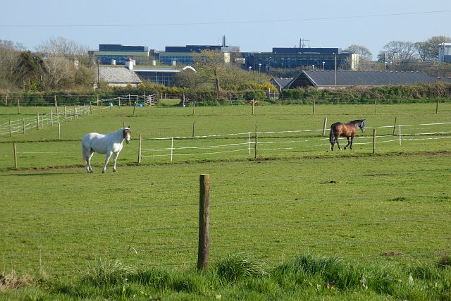
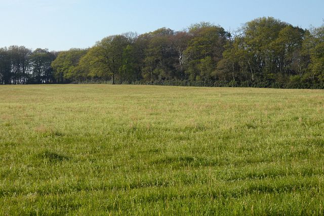
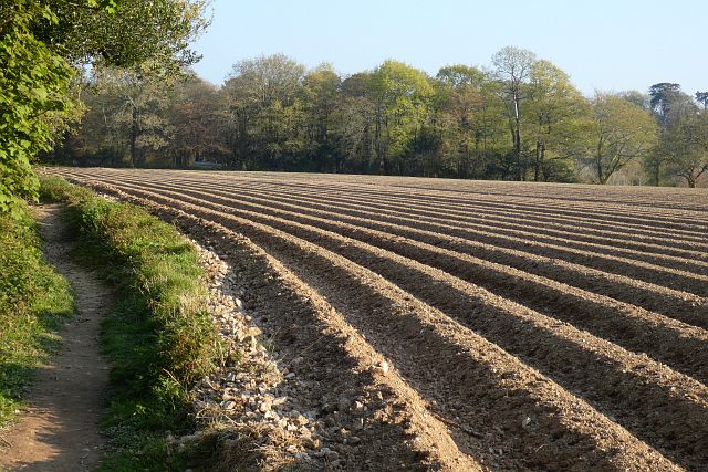
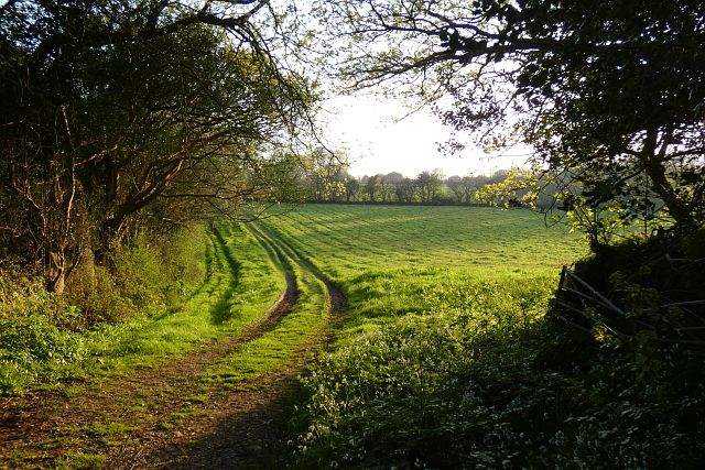
Lower Treluswell is a small rural hamlet located in the county of Cornwall, England. Situated approximately 2 miles southeast of the town of Penryn and 4 miles northwest of Falmouth, it lies in close proximity to the beautiful South West Coast Path. The hamlet is surrounded by picturesque countryside, characterized by rolling hills, lush green fields, and scattered farmhouses.

Lower Treluswell primarily consists of a handful of residential properties, including charming stone cottages and modern houses. It retains a peaceful and tranquil atmosphere, making it an ideal location for those seeking a quiet and idyllic countryside lifestyle. The hamlet benefits from its close proximity to the nearby towns, providing easy access to amenities such as shops, schools, and healthcare facilities.

Although small in size, Lower Treluswell boasts a rich history. It was once a thriving agricultural community, with farming being the primary livelihood for its residents. Today, remnants of this agricultural heritage can still be witnessed in the form of traditional barns and fields used for grazing livestock.

For nature enthusiasts, Lower Treluswell offers an abundance of outdoor activities. The surrounding countryside provides ample opportunities for hiking, cycling, and exploring the nearby woodlands. Additionally, the nearby coastline offers stunning vistas and opportunities for beach walks and water sports.

In summary, Lower Treluswell is a small and peaceful hamlet in Cornwall, known for its rural charm, beautiful countryside, and proximity to key amenities and natural attractions.

If you have any feedback on the listing, please let us know in the comments section below.

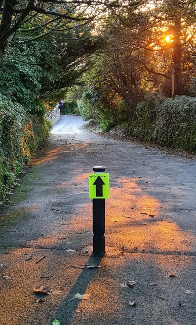
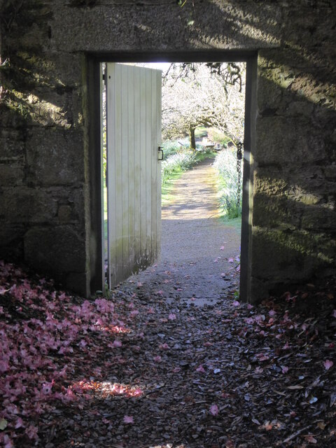
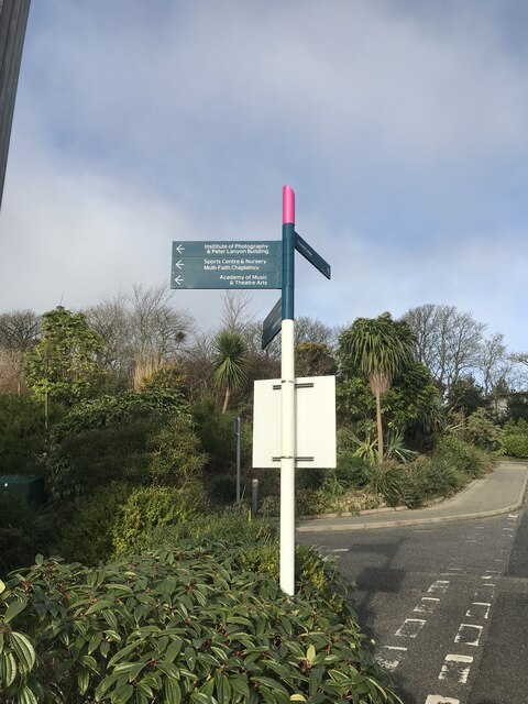
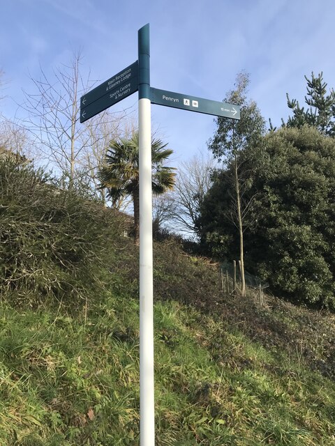
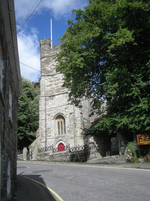
Lower Treluswell Images

Images are sourced within 2km of 50.180343/-5.1147272 or Grid Reference SW7735. Thanks to Geograph Open Source API. All images are credited.

Old Milestone by the A393, south of Burnthouse Carved stone post by the A393, in parish of St Gluvias (Kerrier District), climb South out of Burnthouse, by the road, on East side of road. Penryn marker, erected by the County Council in the 19th century. 

Inscription reads:-
: PENRYN / 2 MILES / FALMOUTH / 4 MILES : : REDRUTH / 6 MILES / CAMBORNE / 9 MILES : 

Grade II Listed. List Entry Number: 1328126
<span class="nowrap"><a title="https://historicengland.org.uk/listing/the-list/list-entry/1328126" rel="nofollow ugc noopener" href="https://historicengland.org.uk/listing/the-list/list-entry/1328126">Link</a><img style="margin-left:2px;" alt="External link" title="External link - shift click to open in new window" src="https://s1.geograph.org.uk/img/external.png" width="10" height="10"/></span>

Milestone Society National ID: CW_PNRR02
Old Milestone by the A393, south of Burnthouse
Carved stone post by the A393, in parish of St Gluvias (Kerrier District), climb South out of Burnthouse, by the road, on East side of road. Penryn marker, erected by the County Council in the 19th century. Inscription reads:- : PENRYN / 2 MILES / FALMOUTH / 4 MILES : : REDRUTH / 6 MILES / CAMBORNE / 9 MILES : Grade II Listed. List Entry Number: 1328126 LinkExternal link Milestone Society National ID: CW_PNRR02
Early morning on a lane at Penryn Campus This lane is now part of the campus at the combined universities of Exeter and Falmouth, centred around Tremough House, and this lane is part of the original estate grounds.  The direction arrow is guiding participants to the recently established Penryn Campus parkrun.
Early morning on a lane at Penryn Campus
This lane is now part of the campus at the combined universities of Exeter and Falmouth, centred around Tremough House, and this lane is part of the original estate grounds. The direction arrow is guiding participants to the recently established Penryn Campus parkrun.
The entrance to the old kitchen garden at Tremough House Now part of the Penryn Campus of Exeter and Falmouth Universities.
The entrance to the old kitchen garden at Tremough House
Now part of the Penryn Campus of Exeter and Falmouth Universities.
Pasture, Mabe Paddocks at Treliever with university buildings in the background.
Pasture, Mabe
Paddocks at Treliever with university buildings in the background.
Grassland, Mylor With beech trees in the vicinity Carclew coming into leaf.
Grassland, Mylor
With beech trees in the vicinity Carclew coming into leaf.
Farmland, Mylor The footpath north of Rekedjack Cottages follows the edge of this furrowed potato field.
Farmland, Mylor
The footpath north of Rekedjack Cottages follows the edge of this furrowed potato field.
Pasture, Ponsanooth A footpath to the west of Gwarder approaches Penryn.
Pasture, Ponsanooth
A footpath to the west of Gwarder approaches Penryn.
Cross In Enys Gardens there is a Cornish Cross, which, according to this Wikipedia article, originally stood at Sancreed in Kerrier and was set up at Enys in 1848.
<span class="nowrap"><a title="https://en.m.wikipedia.org/wiki/Stone_crosses_in_Cornwall" rel="nofollow ugc noopener" href="https://en.m.wikipedia.org/wiki/Stone_crosses_in_Cornwall">Link</a><img style="margin-left:2px;" alt="External link" title="External link - shift click to open in new window" src="https://s1.geograph.org.uk/img/external.png" width="10" height="10"/></span>

Milestone Society National ID: CWKE_SGL02
Cross
In Enys Gardens there is a Cornish Cross, which, according to this Wikipedia article, originally stood at Sancreed in Kerrier and was set up at Enys in 1848. LinkExternal link Milestone Society National ID: CWKE_SGL02
Postbox, Treliever Road
Surveyor’s rivet
Surveyor’s rivet
Pedestrian fingerpost
Surveyor’s rivet
Surveyor’s rivet
Pedestrian fingerpost
Mabe Youth & Community Project Hall
Wesley Court
Wesley Court
Show me another place!

Lower Treluswell is located at Grid Ref: SW7735 (Lat: 50.180343, Lng: -5.1147272)

Unitary Authority: Cornwall

Police Authority: Devon and Cornwall

What 3 Words

///trumpet.communal.giraffes. Near Penryn, Cornwall

Related Wikis

St Gluvias

St Gluvias is a settlement in Cornwall, England, United Kingdom. The village is now a suburb on the northern edge of Penryn which is two miles (3.2 km...

Penryn railway station

Penryn railway station (Cornish: Pennrynn) is on the Maritime Line between Truro and Falmouth Docks, and serves the town of Penryn, Cornwall as well as...
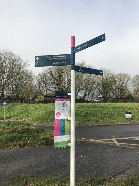
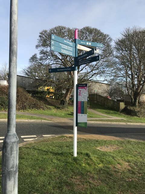
Penryn Campus

Penryn Campus (formerly Tremough Campus, Cornwall Campus and similar names) is a university campus in Penryn, Cornwall, England, UK. The campus is occupied...

Burnthouse, Cornwall

Burnthouse is a hamlet in the civil parish of Ponsanooth, Cornwall, England. Burnthouse lies on the A393 road 2 miles (3.2 km) north-west of Penryn....

Related Videos

Penryn Circular via Flushing and Mylor Bridge | Cornwall Walks | Cool Dudes Walking Club

A 6.8 mile walk in Cornwall, from Penryn, taking in Flushing and Mylor Bridge. Link to Bobby Fingers - Michael Jackson Diorama ...

The Penryn Tragedy - a 400 year old mystery, but is it true? PENRYN CORNWALL

In this video we go in search of the site of the former Bohelland farmhouse, the scene of murder, betrayal and despair. In 1618 it ...

Is it worth visiting Penryn, Cornwall? A nostalgic walk from Pirates to Strawberries!

Due to a copyright claim, we have had to remove our titles and music, both at the beginning and end of this video. Apologies if it ...

Travells to Falmouth | The Vlog

Hey hey everybody! This isn't one to miss. I'm travelling down to Falmouth...Finally! Check out my short film "Keyframes Make the ...

Nearby Amenities

Located within 500m of 50.180343,-5.1147272
Bus Stop
Lower Treluswell
Bench: no
Bin: no
Bus: yes
Lit: no
Naptan AtcoCode: 0800COC30804
Naptan Bearing: NW
Naptan BusStopType: CUS
Naptan CommonName: Lower Treluswell
Naptan Indicator: opp
Naptan NaptanCode: coratagp
Naptan Street: B3292
Naptan Verified: no
Public Transport: platform
Shelter: no
Source: naptan_import
Tactile Paving: no
Lat/Long: 50.1789456/-5.1157129
Lower Treluswell
Is In County: Cornwall
Place: hamlet
Source: OS_OpenData_StreetView
Lat/Long: 50.1803197/-5.1157656
Power: pole
Lat/Long: 50.1775285/-5.1187733
Power: pole
Lat/Long: 50.1776144/-5.117695
Power: pole
Lat/Long: 50.1776857/-5.110787
Power: pole
Lat/Long: 50.1776866/-5.1093024
Power: pole
Lat/Long: 50.1778549/-5.1106918
Material: wood
Power: pole
Lat/Long: 50.1759911/-5.1141438
Power: pole
Lat/Long: 50.1768328/-5.1126632
Power: pole
Lat/Long: 50.1770184/-5.1115099
Power: pole
Lat/Long: 50.1776866/-5.1109359
Power: pole
Lat/Long: 50.1810815/-5.1080525
Power: pole
Lat/Long: 50.1802339/-5.1080257
Power: pole
Lat/Long: 50.178657/-5.1087606
Power: pole
Lat/Long: 50.1779683/-5.1107803
Power: pole
Lat/Long: 50.1797117/-5.1121536
Power: pole
Lat/Long: 50.1793012/-5.1115099
Power: pole
Lat/Long: 50.1787584/-5.1112872
Power: pole
Lat/Long: 50.1781349/-5.1110874
Material: wood
Power: pole
Lat/Long: 50.1780061/-5.1122099
Material: wood
Power: pole
Lat/Long: 50.1779373/-5.1130763
Material: wood
Power: pole
Lat/Long: 50.1777639/-5.1155198
Power: pole
Lat/Long: 50.1777432/-5.1159248
Direction: SE
Generator Method: photovoltaic
Generator Output Electricity: small_installation
Generator Source: solar
Generator Type: solar_photovoltaic_panel
Location: roof
Power: generator
Source: bing;survey
Survey Date: 2020-07-25
Lat/Long: 50.1763897/-5.1158685
Direction: SE
Generator Method: photovoltaic
Generator Output Electricity: small_installation
Generator Source: solar
Generator Type: solar_photovoltaic_panel
Location: roof
Power: generator
Source: bing;survey
Survey Date: 2020-07-25
Lat/Long: 50.175937/-5.1158081
Direction: SE
Generator Method: photovoltaic
Generator Output Electricity: small_installation
Generator Source: solar
Generator Type: solar_photovoltaic_panel
Location: roof
Power: generator
Source: bing;survey
Survey Date: 2020-07-25
Lat/Long: 50.17615/-5.116476
Direction: SE
Generator Method: photovoltaic
Generator Output Electricity: small_installation
Generator Source: solar
Generator Type: solar_photovoltaic_panel
Location: roof
Power: generator
Source: bing;survey
Survey Date: 2020-07-25
Lat/Long: 50.1760659/-5.116704
Power: pole
Lat/Long: 50.1817153/-5.1080726
Post Box
Brand: Royal Mail
Brand Wikidata: Q638098
Collection Times: Mo-Fr 10:15; Sa 09:00; Su off
Drive Through: no
Operator: Royal Mail
Operator Wikidata: Q638098
Post Box Mounting: building
Post Box Type: lamp
Ref: TR10 42
Royal Cypher: EIIR
Royal Cypher Wikidata: Q33102113
Source: survey;streetlevel imagery;aerial imagery
Lat/Long: 50.1796271/-5.116038
The data included in this document is from www.openstreetmap.org. The data is made available under ODbL.

Have you been to Lower Treluswell?

Leave your review of Lower Treluswell below (or comments, questions and feedback).