Lower Town

Settlement in Devon Teignbridge

England

Lower Town

Two Moors Way below Newbridge Hill The path crosses a tiny stream, really a drainage channel emanating from Newbridge Marsh. It meets the Dart in a few feet.
Two Moors Way below Newbridge Hill Credit: Derek Harper

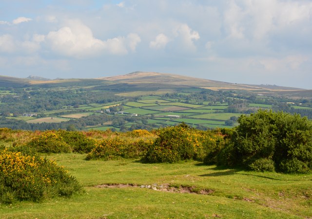
Lower Town is a charming village located in the county of Devon, England. Situated in the southwestern part of the country, it is nestled in a picturesque valley surrounded by rolling hills and scenic landscapes. The village is part of the larger parish of Devonshire, known for its natural beauty and historic significance.

Lower Town is renowned for its idyllic setting, with its quaint cottages and narrow streets that exude a sense of old-world charm. The village is home to a small but vibrant community, fostering a close-knit atmosphere and a strong sense of community spirit.

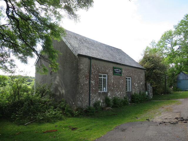
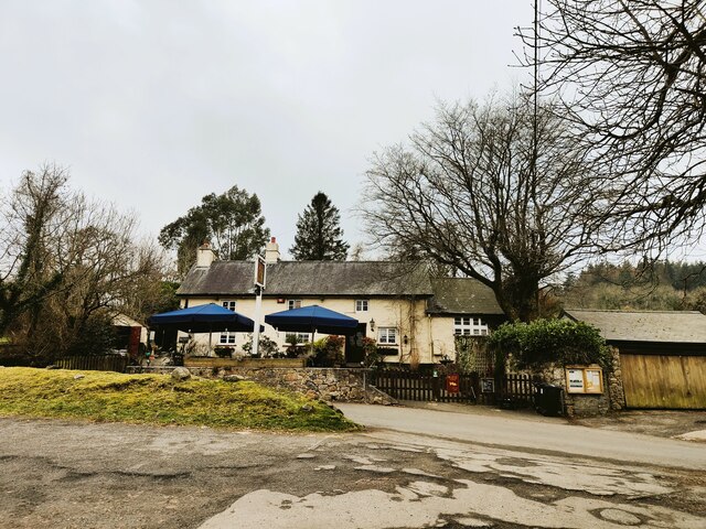
The village boasts several local amenities, including a village hall, a post office, and a traditional pub that serves as a hub for social gatherings. The residents also benefit from excellent transport links, with a nearby train station connecting them to larger towns and cities in the region.

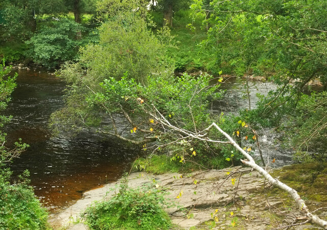
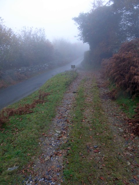
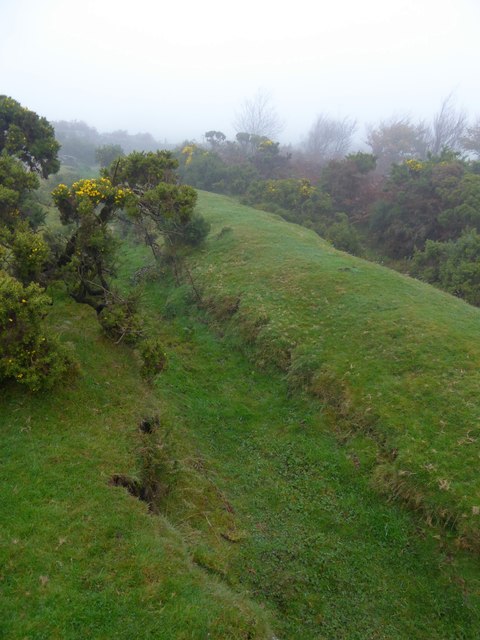
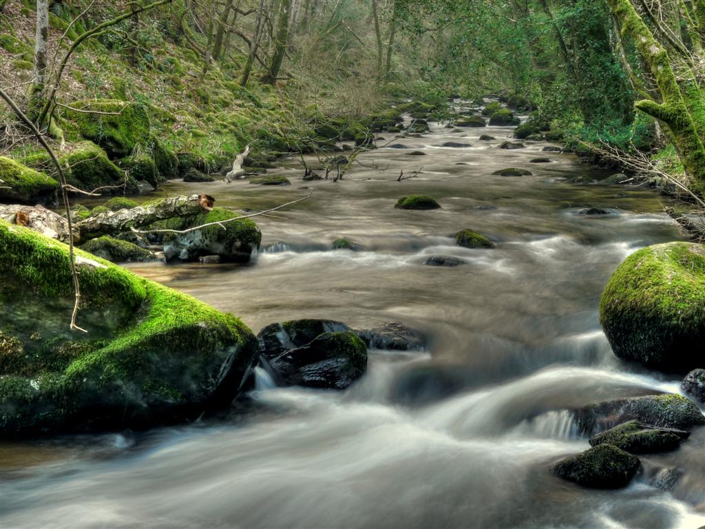
Nature enthusiasts will appreciate the abundance of outdoor activities that Lower Town has to offer. The surrounding countryside provides ample opportunities for hiking, cycling, and exploring the nearby nature reserves. Furthermore, the village is in close proximity to the coast, allowing residents and visitors to enjoy a day at the beach or indulge in water sports activities.

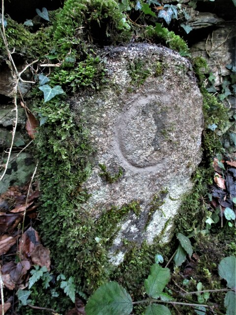
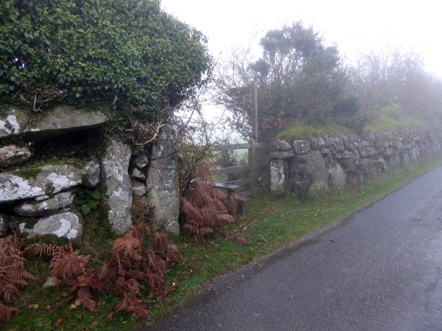
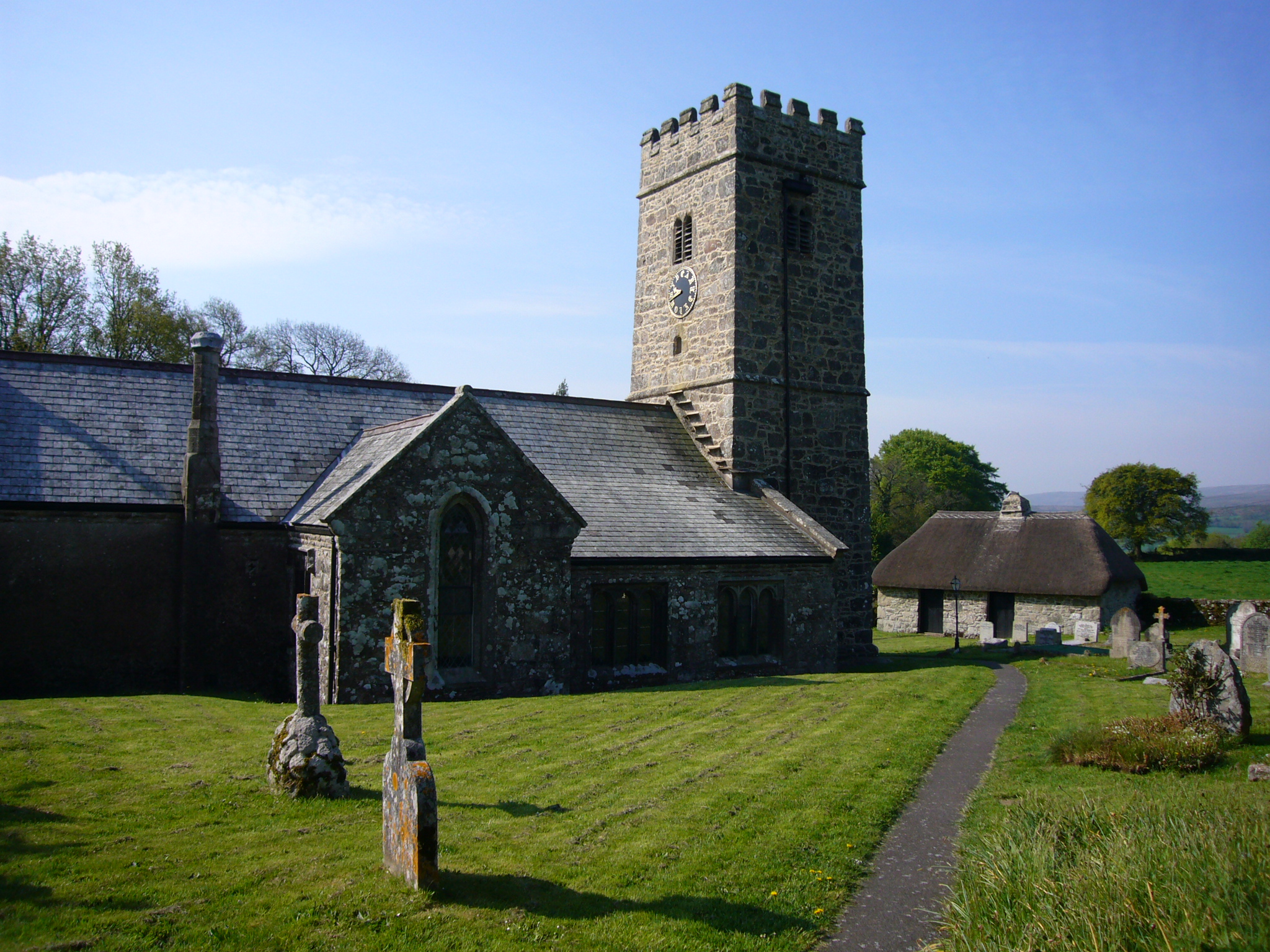
Lower Town is also steeped in history, with several historic landmarks and buildings dotted throughout the area. The village church, dating back to the 12th century, stands as a testament to the village's rich heritage. Additionally, there are remnants of an ancient castle that once guarded the area, adding to the historical allure of Lower Town.

In summary, Lower Town in Devon is a delightful village that offers a peaceful and picturesque setting, a strong sense of community, and a wealth of outdoor activities. Its blend of natural beauty and historical significance make it a desirable place to visit or reside in Devon.

If you have any feedback on the listing, please let us know in the comments section below.
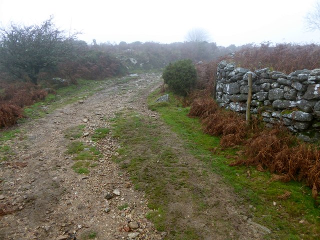
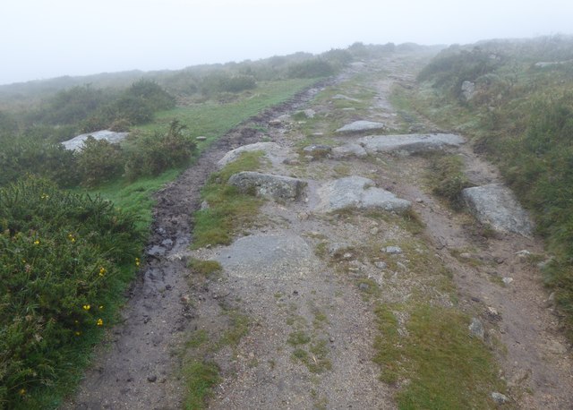
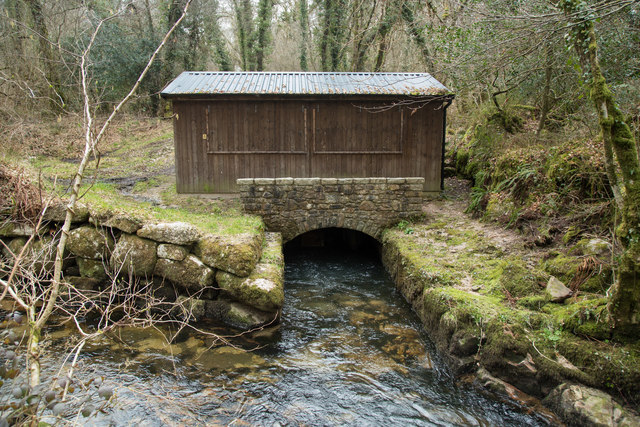
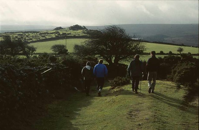
Lower Town Images

Images are sourced within 2km of 50.542021/-3.8196734 or Grid Reference SX7172. Thanks to Geograph Open Source API. All images are credited.

Two Moors Way below Newbridge Hill The path crosses a tiny stream, really a drainage channel emanating from Newbridge Marsh. It meets the Dart in a few feet.
Two Moors Way below Newbridge Hill
The path crosses a tiny stream, really a drainage channel emanating from Newbridge Marsh. It meets the Dart in a few feet.
St Peter's Church, Buckland in the Moor
Old Bridge Marker near Buckland Bridge, Widecombe in the Moor County Bridge Marker on the northwest side of the road southwest of Buckland Bridge, River Webburn. Widecombe in the Moor parish. Inscribed C to mark the extent of roadway adjoining the bridge that the County was obliged to maintain.

Milestone Society National ID: DV_WIDEC01br
Old Bridge Marker near Buckland Bridge, Widecombe in the Moor
County Bridge Marker on the northwest side of the road southwest of Buckland Bridge, River Webburn. Widecombe in the Moor parish. Inscribed C to mark the extent of roadway adjoining the bridge that the County was obliged to maintain. Milestone Society National ID: DV_WIDEC01br
Newbridge Hill View from Newbridge Hill into the Dart valley.
Newbridge Hill
View from Newbridge Hill into the Dart valley.
Path, Deeper Marsh A rocky path by the River Dart.
Path, Deeper Marsh
A rocky path by the River Dart.
River Dart below Barren Corner A rock platform slopes into the water on the north side of the river.
River Dart below Barren Corner
A rock platform slopes into the water on the north side of the river.
Two Moors Way near Barren Corner Above the River Dart.
Two Moors Way near Barren Corner
Above the River Dart.
Two Moors Way near Barren Corner Perched above a river cliff on the outside of a bend in the river.
Two Moors Way near Barren Corner
Perched above a river cliff on the outside of a bend in the river.
Poundsgate Chapel, Dartmoor This is a well-known landmark for those crossing Dartmoor from Ashburton to Princetown or Tavistock. It was built as a place of worship in 1833 and has been in regular use ever since.
Poundsgate Chapel, Dartmoor
This is a well-known landmark for those crossing Dartmoor from Ashburton to Princetown or Tavistock. It was built as a place of worship in 1833 and has been in regular use ever since.
Tavistock Inn, Poundsgate
Sherbeton Common, Dartmoor, Devon
Stile and gate at the start of a footpath to Ponsworthy From one of the minor roads on Bel Tor; the walls are granite
Stile and gate at the start of a footpath to Ponsworthy
From one of the minor roads on Bel Tor; the walls are granite
Track in the mist on Sherberton Common A track onto the common land from a minor road north-east of Bel Tor
Track in the mist on Sherberton Common
A track onto the common land from a minor road north-east of Bel Tor
Ditch and earth wall on Mel Tor The Two Moors Way runs beside this feature on the moor <a href="https://www.geograph.org.uk/photo/1542980">SX6972 : Two Moors Way, Mel Tor</a>
Ditch and earth wall on Mel Tor
The Two Moors Way runs beside this feature on the moor SX6972 : Two Moors Way, Mel Tor
Two Moors Way in the mist on Mel Tor
Two Moors Way on Dr Blackall's Drive in the mist The "Drive" is often rough, with rocky outcrops
Two Moors Way on Dr Blackall's Drive in the mist
The "Drive" is often rough, with rocky outcrops
Old Walls Turbine Building For description of the Hydro-electric power installation see <span class="nowrap"><a title="https://www.widecombe-in-the-moor.com/history/minutes/2002/old_walls_hydroelectrics.php" rel="nofollow ugc noopener" href="https://www.widecombe-in-the-moor.com/history/minutes/2002/old_walls_hydroelectrics.php">Link</a><img style="margin-left:2px;" alt="External link" title="External link - shift click to open in new window" src="https://s1.geograph.org.uk/img/external.png" width="10" height="10"/></span>

See <a href="https://www.geograph.org.uk/photo/2022229">SX7074 : West Webburn River; the weir for Old Walls</a> and <a href="https://www.geograph.org.uk/photo/1318620">SX7074 : Widecombe in the Moor: Old Walls leat 1</a> for pictures of the weir and leat that supply the water to the turbines.
Old Walls Turbine Building
For description of the Hydro-electric power installation see LinkExternal link See SX7074 : West Webburn River; the weir for Old Walls and SX7074 : Widecombe in the Moor: Old Walls leat 1 for pictures of the weir and leat that supply the water to the turbines.
Two Moors Way near Bel Tor, 2001 A party of walkers sets off for Dr Blackall's Drive and the two Moors Way to Holne. Mel Tor is visible ahead, and the gleam across the Dart valley is Venford Reservoir.
Two Moors Way near Bel Tor, 2001
A party of walkers sets off for Dr Blackall's Drive and the two Moors Way to Holne. Mel Tor is visible ahead, and the gleam across the Dart valley is Venford Reservoir.
Show me another place!

Lower Town is located at Grid Ref: SX7172 (Lat: 50.542021, Lng: -3.8196734)

Administrative County: Devon

District: Teignbridge

Police Authority: Devon and Cornwall

What 3 Words

///lunging.slime.innovate. Near Ashburton, Devon

Related Wikis

West Webburn River

The West Webburn is a stream on Dartmoor in Devon in south-west England. It rises on the eastern side of the moors flowing off the east side of Hameldown...

East Webburn River

The East Webburn is a stream in the Dartmoor moors in Devon in south-west England. It rises on the western side of the moors flowing off the west side...

Leusdon

Leusdon is a parish in the southern part of Dartmoor in the county of Devon, UK. It is near Poundsgate and Ponsworthy. The village church is St John the...

Buckland-in-the-Moor

Buckland in the Moor is a village and civil parish in the Teignbridge district of Devon, England. According to the 2001 census it had a population of...

Nearby Amenities

Located within 500m of 50.542021,-3.8196734
Blackadon Tor
Natural: peak
Source: NPE
Lat/Long: 50.5460905/-3.8188541
Spitchwick Farm
Place: farm
Source: OS StreetView
Lat/Long: 50.5398899/-3.822793
ER 2012
Historic: memorial
Source: survey
Lat/Long: 50.5435563/-3.8258728
ER 1977
Historic: memorial
Source: survey
Lat/Long: 50.5434963/-3.8255929
Generator Method: photovoltaic
Generator Output Electricity: yes
Generator Source: solar
Generator Type: solar_photovoltaic_panel
Location: roof
Power: generator
Lat/Long: 50.5450303/-3.8222216
Generator Method: photovoltaic
Generator Output Electricity: yes
Generator Source: solar
Generator Type: solar_photovoltaic_panel
Location: ground
Power: generator
Lat/Long: 50.5389407/-3.8235815
Post Box
Brand: Royal Mail
Brand Wikidata: Q638098
Collection Times: Mo-Fr 12:00; Sa 11:45; Su off
Drive Through: no
Operator: Royal Mail
Operator Wikidata: Q638098
Post Box Mounting: pier
Post Box Type: lamp
Ref: TQ13 231
Royal Cypher: EIIR
Royal Cypher Wikidata: Q33102113
Source: survey;streetlevel imagery;aerial imagery
Lat/Long: 50.5419775/-3.8197633
The data included in this document is from www.openstreetmap.org. The data is made available under ODbL.

Have you been to Lower Town?

Leave your review of Lower Town below (or comments, questions and feedback).