Lower Rocombe

Settlement in Devon Teignbridge

England

Lower Rocombe

Destroyed gate near Higher Commons The gateway is shown from the other side in <a href="https://www.geograph.org.uk/photo/6920658">SX9269 : Coastal farmland near Herring Cove</a>.
Destroyed gate near Higher Commons Credit: Derek Harper

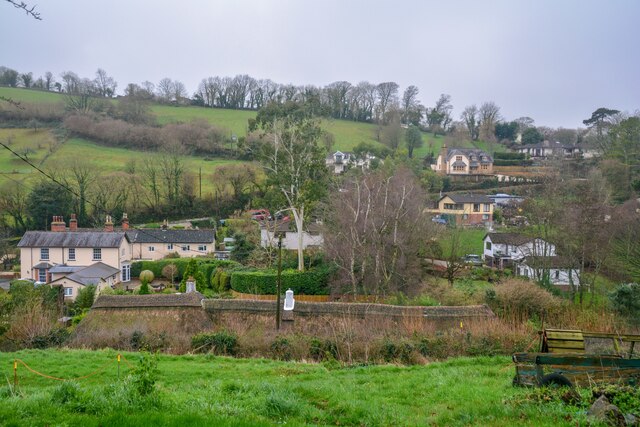
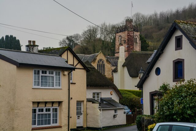
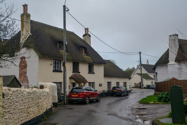
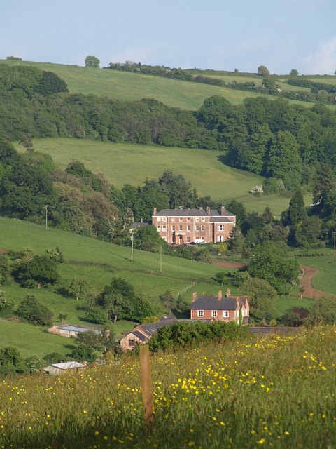
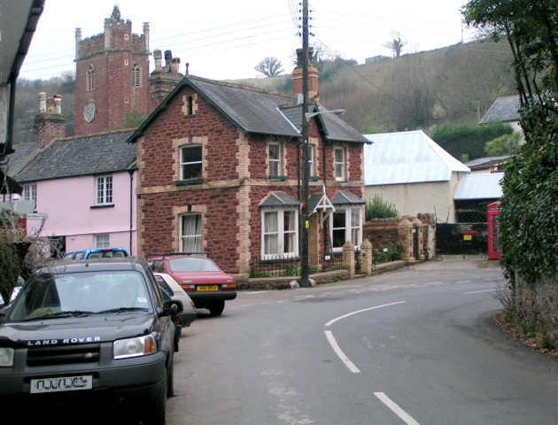
Lower Rocombe is a charming rural settlement located in the county of Devon, in southwestern England. Situated within the South Hams district, this picturesque village is nestled amidst rolling hills and lush green landscapes. Lower Rocombe exudes a tranquil and idyllic atmosphere, making it an ideal retreat for those seeking a peaceful getaway.

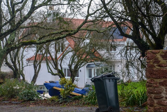
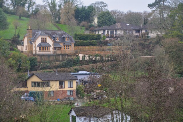
The village is characterized by its quaint stone cottages, which add to its traditional English countryside charm. It boasts a small but close-knit community, fostering a strong sense of community spirit and a warm welcome to visitors.

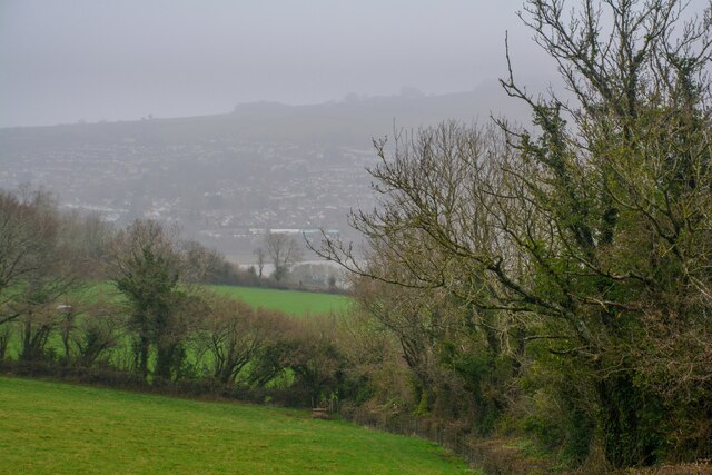
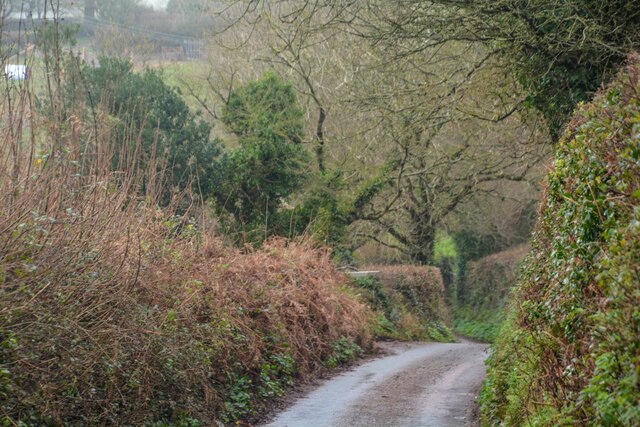
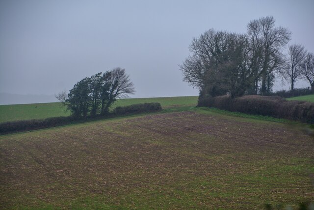
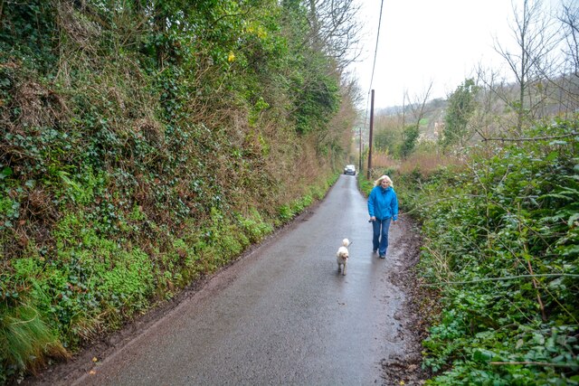
Nature lovers will find themselves in paradise in Lower Rocombe. Surrounded by beautiful countryside, there are ample opportunities for scenic walks and hikes, allowing visitors to explore the stunning natural beauty of the area. The village is also home to a variety of wildlife, including deer and a wide array of bird species, making it a haven for birdwatchers and wildlife enthusiasts.

While Lower Rocombe may be a peaceful haven, it is conveniently located near the bustling market town of Totnes, which offers a range of amenities including shops, restaurants, and leisure facilities. Additionally, the stunning Devon coastline is just a short drive away, providing access to beautiful beaches and picturesque coastal walks.

Overall, Lower Rocombe offers a delightful glimpse into rural English life, with its scenic surroundings, charming architecture, and welcoming community. A visit to this tranquil village is sure to leave visitors feeling refreshed and rejuvenated.

If you have any feedback on the listing, please let us know in the comments section below.

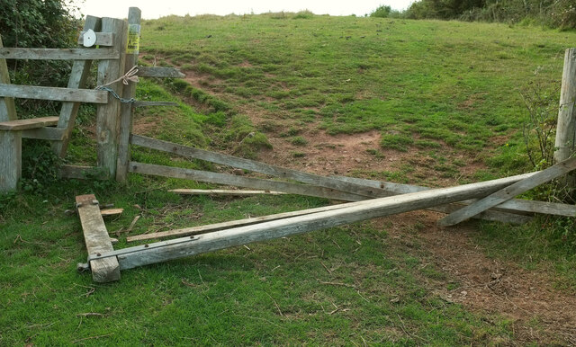
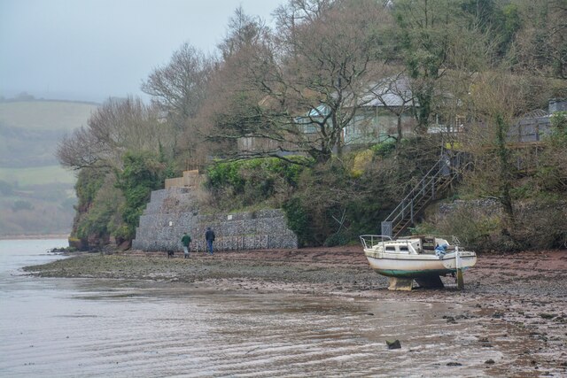
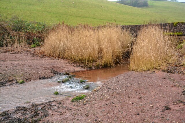
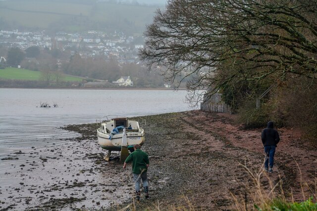
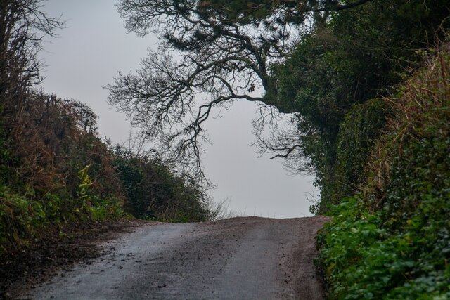
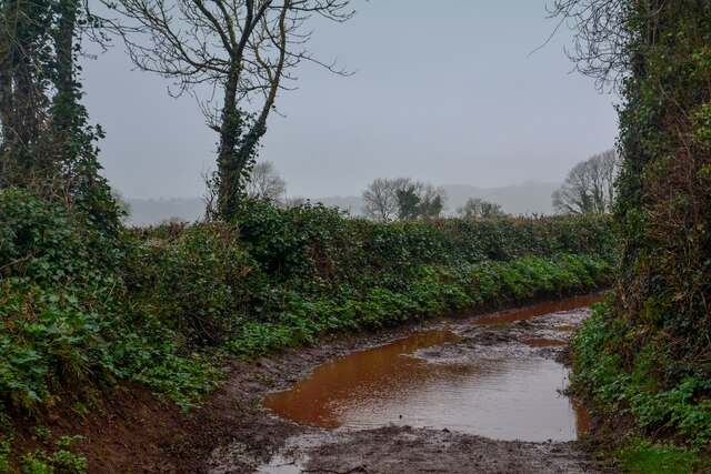
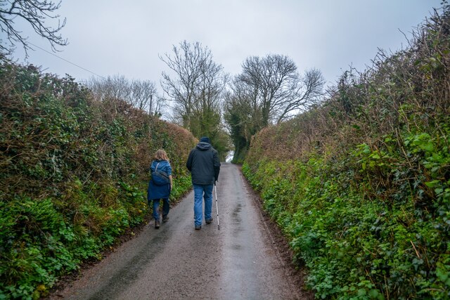
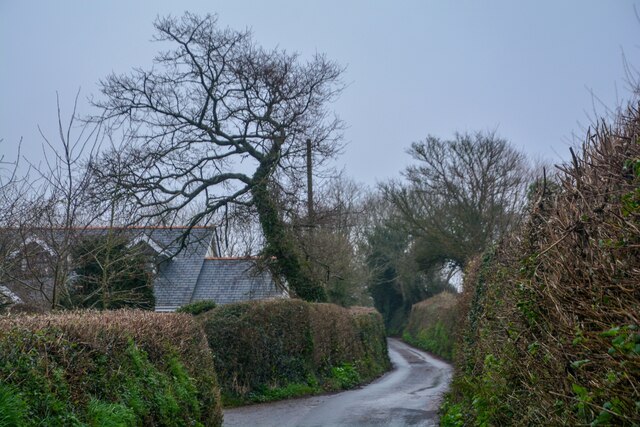
Lower Rocombe Images

Images are sourced within 2km of 50.520541/-3.5394146 or Grid Reference SX9070. Thanks to Geograph Open Source API. All images are credited.

Destroyed gate near Higher Commons The gateway is shown from the other side in <a href="https://www.geograph.org.uk/photo/6920658">SX9269 : Coastal farmland near Herring Cove</a>.
Destroyed gate near Higher Commons
The gateway is shown from the other side in SX9269 : Coastal farmland near Herring Cove.
Combeteignhead : River Teign Looking across the banks of the River Teign estuary.
Combeteignhead : River Teign
Looking across the banks of the River Teign estuary.
Combeteignhead : Arch Brook Looking along Arch Brook.
Combeteignhead : Arch Brook
Looking along Arch Brook.
Stokeinteignhead : River Teign Looking across the banks of the River Teign estuary.
Stokeinteignhead : River Teign
Looking across the banks of the River Teign estuary.
Shaldon : Moorlands Looking towards Moorlands.
Shaldon : Moorlands
Looking towards Moorlands.
Shaldon : Grassy Field Looking across the countryside.
Shaldon : Grassy Field
Looking across the countryside.
Shaldon : Forches Hill Looking along Forches Hill.
Shaldon : Forches Hill
Looking along Forches Hill.
Stokeinteignhead : Butterfly Lane Looking along Butterfly Lane.
Stokeinteignhead : Butterfly Lane
Looking along Butterfly Lane.
Stokeinteignhead : Forches Hill Looking along the road.
Stokeinteignhead : Forches Hill
Looking along the road.
Stokeinteignhead : Dagra Lane Looking along Dagra Lane.
Stokeinteignhead : Dagra Lane
Looking along Dagra Lane.
Stokeinteignhead : Forches Hill Looking along the country lane.
Stokeinteignhead : Forches Hill
Looking along the country lane.
Stokeinteignhead : Forches Hill Looking along Forches Hill.
Stokeinteignhead : Forches Hill
Looking along Forches Hill.
Stokeinteignhead : Grassy Field Looking across a field.
Stokeinteignhead : Grassy Field
Looking across a field.
Stokeinteignhead : Forches Hill Looking down Forches Hill.
Stokeinteignhead : Forches Hill
Looking down Forches Hill.
Stokeinteignhead : Village Scenery Looking across the village of Stokeinteignhead.
Stokeinteignhead : Village Scenery
Looking across the village of Stokeinteignhead.
Stokeinteignhead : Village Scenery Looking across the village of Stokeinteignhead.
Stokeinteignhead : Village Scenery
Looking across the village of Stokeinteignhead.
Stokeinteignhead : Church Lane Looking along Church Lane.
Stokeinteignhead : Church Lane
Looking along Church Lane.
Stokeinteignhead : Ivy Tree Hill Looking along the lane.
Stokeinteignhead : Ivy Tree Hill
Looking along the lane.
Show me another place!

Lower Rocombe is located at Grid Ref: SX9070 (Lat: 50.520541, Lng: -3.5394146)

Administrative County: Devon

District: Teignbridge

Police Authority: Devon and Cornwall

What 3 Words

///toasters.buckets.pitch. Near Bishopsteignton, Devon

Related Wikis

Stokeinteignhead

Stokeinteignhead () is a village and civil parish in the Teignbridge district of Devon, England, above the southern bank of the estuary of the River Teign...

Haccombe

Haccombe is a village and former civil parish and historic manor, now in the parish of Haccombe with Combe, in the Teignbridge district, in the county...

Haccombe with Combe

Haccombe with Combe is a civil parish in the Teignbridge local government district of Devon, England. The parish lies immediately to the east of the town...

Combeinteignhead

Combeinteignhead or Combe-in-Teignhead is a village in Teignbridge, South Devon, England. It lies within the civil parish of Haccombe with Combe, between...

Nearby Amenities

Located within 500m of 50.520541,-3.5394146
Addr Housename: Leylandi Gardens
Lat/Long: 50.5244559/-3.5359474
Luscombes Farm Shop
Shop: farm
Lat/Long: 50.5235837/-3.5372865
Lower Rocombe
Is In: Devon, England, UK
Place: hamlet
Source: OS_OpenData_OpenNames
Lat/Long: 50.5206033/-3.5393325
Power: pole
Lat/Long: 50.5220347/-3.5353624
Power: pole
Lat/Long: 50.5217817/-3.5361396
Power: pole
Lat/Long: 50.5214592/-3.5370897
Power: pole
Lat/Long: 50.5211001/-3.5381627
Rocombe Valley Retreat
Leisure: resort
Resort: glamping
Lat/Long: 50.5177795/-3.5402337
Leisure: fishing
Lat/Long: 50.5180882/-3.5396222
The data included in this document is from www.openstreetmap.org. The data is made available under ODbL.

Have you been to Lower Rocombe?

Leave your review of Lower Rocombe below (or comments, questions and feedback).