Low Southwick
Settlement in Durham
England
Low Southwick
Low Southwick is a small village located in County Durham, England. Situated approximately 4 miles to the west of Sunderland city center, it is a part of the City of Sunderland metropolitan borough. The village is nestled within a rural landscape, surrounded by picturesque countryside and farmland.
Historically, Low Southwick was a mining village, with coal mining being the main industry in the area. However, with the decline of the coal industry in the late 20th century, the village has transitioned into a primarily residential area. Today, it retains its charm as a peaceful and close-knit community.
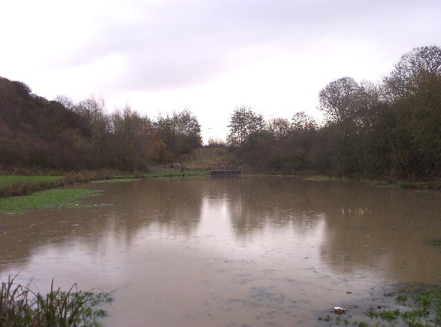
The village features a mix of housing, ranging from quaint cottages to more modern developments. It is known for its tight-knit community spirit, with a local community center serving as a hub for various social activities and events. The village also benefits from its proximity to the nearby Herrington Country Park, a popular recreational area offering walking trails, wildlife habitats, and a large lake.
Low Southwick is well-connected to surrounding areas by road, with the A19 running nearby, providing easy access to Sunderland, Durham, and other major towns in the region. The village is served by public transportation, including regular bus services, making it convenient for residents to travel to nearby towns for work or leisure.
Overall, Low Southwick offers a tranquil and rural lifestyle while still being within close proximity to urban amenities, making it an attractive place to live for those seeking a peaceful community atmosphere.
If you have any feedback on the listing, please let us know in the comments section below.
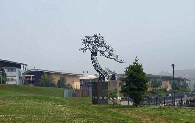
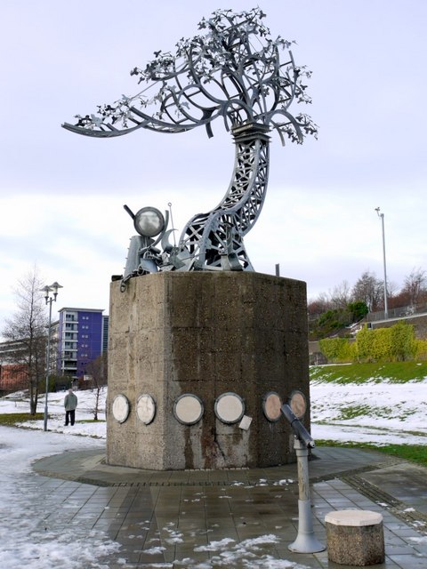
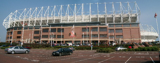
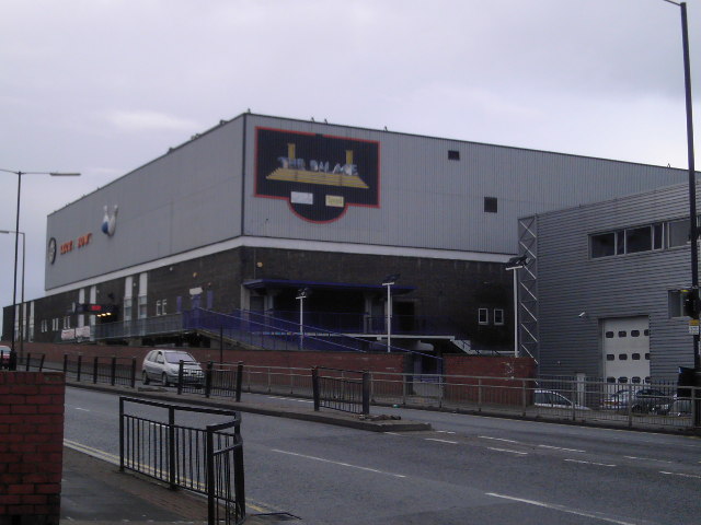
Low Southwick Images
Images are sourced within 2km of 54.917015/-1.4064777 or Grid Reference NZ3858. Thanks to Geograph Open Source API. All images are credited.


Low Southwick is located at Grid Ref: NZ3858 (Lat: 54.917015, Lng: -1.4064777)
Unitary Authority: Sunderland
Police Authority: Northumbria
What 3 Words
///clever.resist.fakes. Near Sunderland, Tyne & Wear
Nearby Locations
Related Wikis

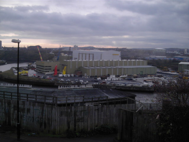
Southwick, Sunderland
Southwick is a former village and now a suburb on the north banks of the River Wear in the city of Sunderland in the county of Tyne and Wear, historically...

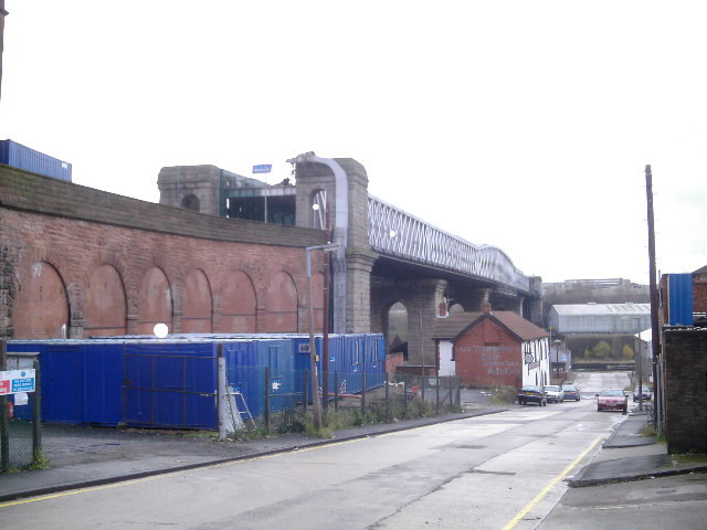
Queen Alexandra Bridge
The Queen Alexandra Bridge is a road traffic, pedestrian and former railway bridge spanning the River Wear in North East England, linking the Deptford...

Pallion Metro station
Pallion is a Tyne and Wear Metro station, serving the suburb of Pallion, City of Sunderland in Tyne and Wear, England. It joined the network on 31 March...
Sun FM
Sun FM is an Independent Local Radio station serving Sunderland and large parts of County Durham in England and owned by Nation Broadcasting. It is also...
Nearby Amenities
Located within 500m of 54.917015,-1.4064777Have you been to Low Southwick?
Leave your review of Low Southwick below (or comments, questions and feedback).