Low Mowthorpe
Settlement in Yorkshire Ryedale
England
Low Mowthorpe
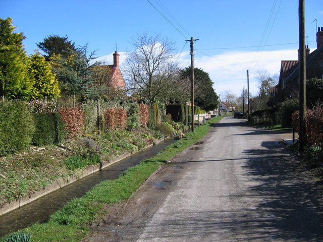
Low Mowthorpe is a quaint village located in the county of Yorkshire, England. Nestled amidst picturesque rolling hills, it is a place of natural beauty and tranquility. With a population of around 100 residents, it exudes a sense of tight-knit community and rural charm.
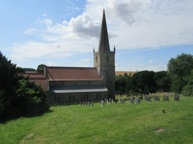
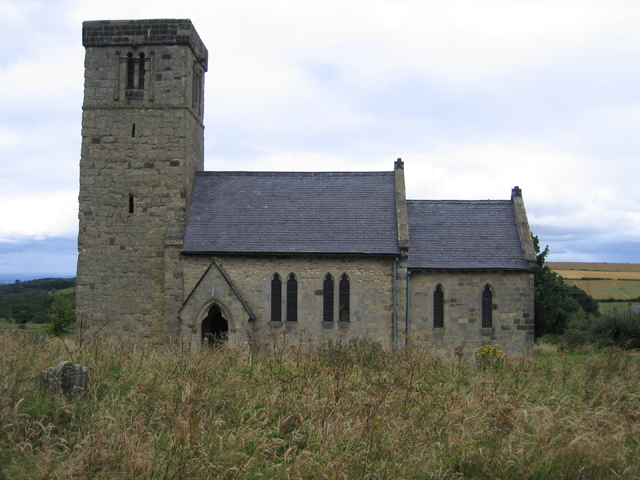
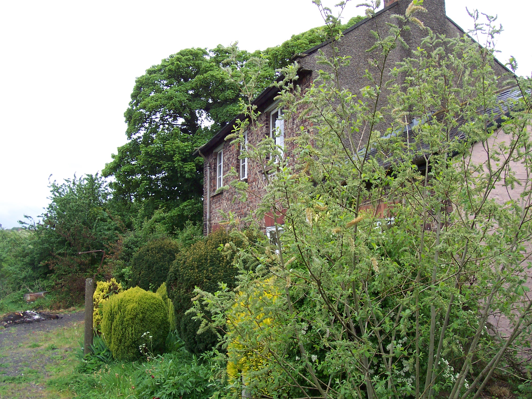
The village dates back centuries and is steeped in history. It boasts a number of well-preserved stone cottages and buildings, showcasing the traditional architecture of the region. One notable landmark is the St. Mary's Church, a striking medieval structure that serves as a focal point for the community.
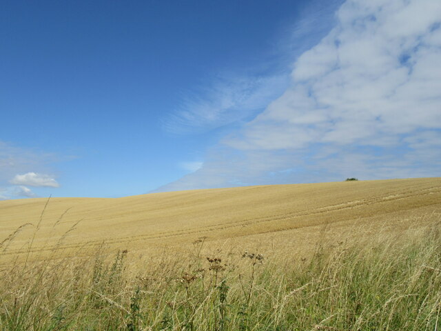
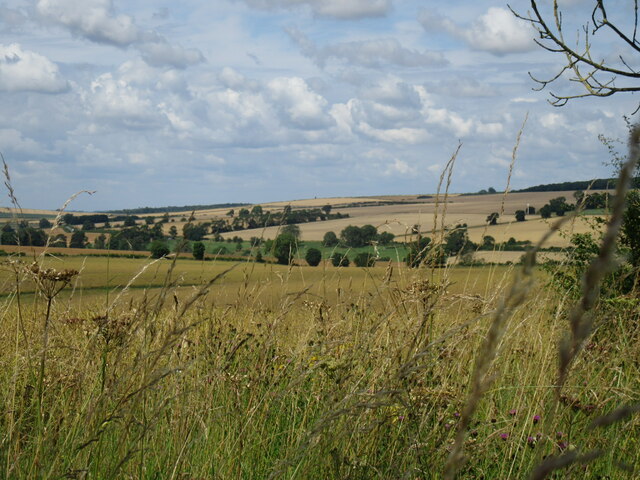
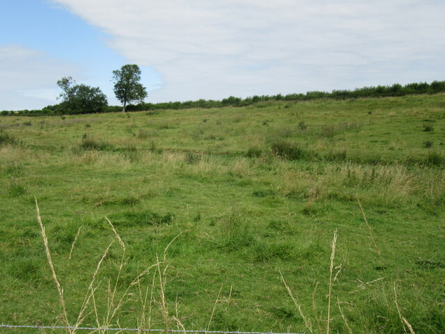
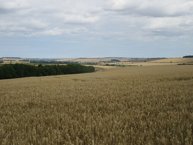
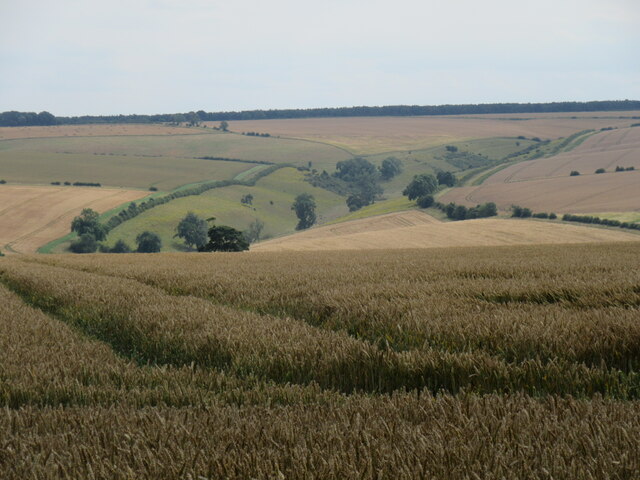
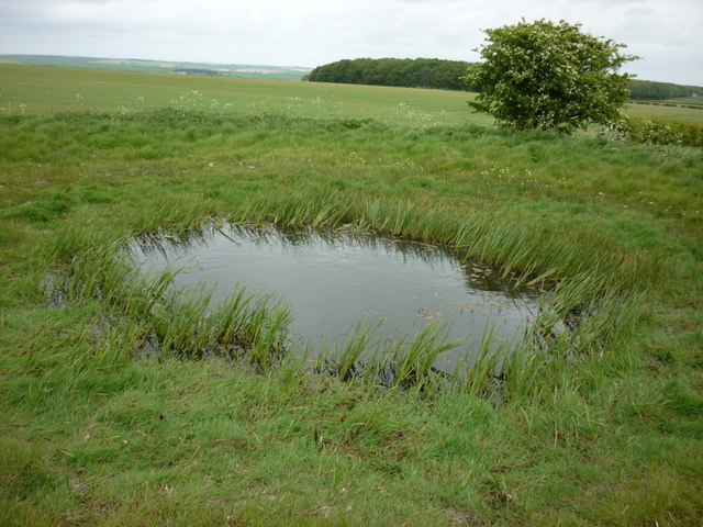
The surrounding countryside offers a range of outdoor activities for nature enthusiasts. There are numerous walking trails and bridleways that crisscross the area, allowing visitors to explore the stunning landscapes and enjoy breathtaking views. The village is also close to the Howardian Hills Area of Outstanding Natural Beauty, which further enhances its appeal.
Although small, Low Mowthorpe is not lacking in amenities. It is home to a cozy pub, The Mowthorpe Arms, where locals and visitors can enjoy a pint and a hearty meal. The village also has a small community shop that caters to the basic needs of its residents.
Overall, Low Mowthorpe is a hidden gem in the Yorkshire countryside. Its idyllic surroundings, rich history, and tight community bonds make it a perfect destination for those seeking a peaceful retreat or a glimpse into traditional English village life.
If you have any feedback on the listing, please let us know in the comments section below.
Low Mowthorpe Images
Images are sourced within 2km of 54.091822/-0.63429382 or Grid Reference SE8967. Thanks to Geograph Open Source API. All images are credited.

Low Mowthorpe is located at Grid Ref: SE8967 (Lat: 54.091822, Lng: -0.63429382)
Division: East Riding
Administrative County: North Yorkshire
District: Ryedale
Police Authority: North Yorkshire
What 3 Words
///towels.racked.gazed. Near Fimber, East Yorkshire
Nearby Locations
Related Wikis
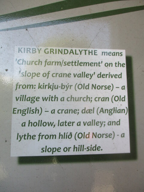
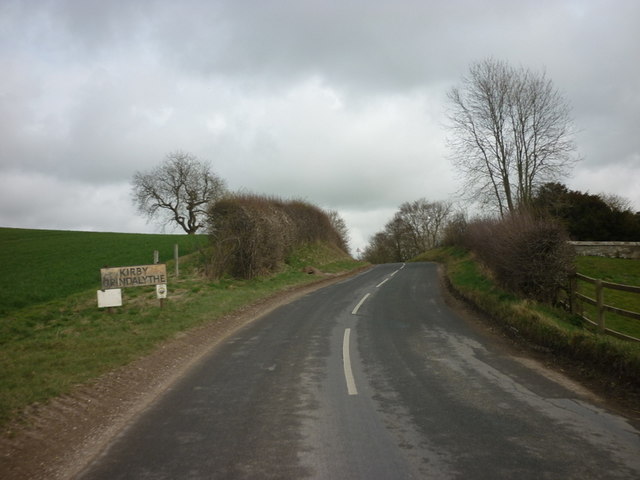
Kirby Grindalythe
Kirby Grindalythe is a village and civil parish in North Yorkshire, England. It is situated about 8 miles (13 km) south-east of Malton. The village lies...

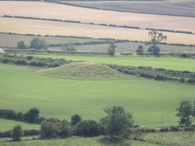
Duggleby Howe
Duggleby Howe (also known as Howe Hill, Duggleby) is one of the largest round barrows in Britain, located on the southern side of the Great Wold Valley...

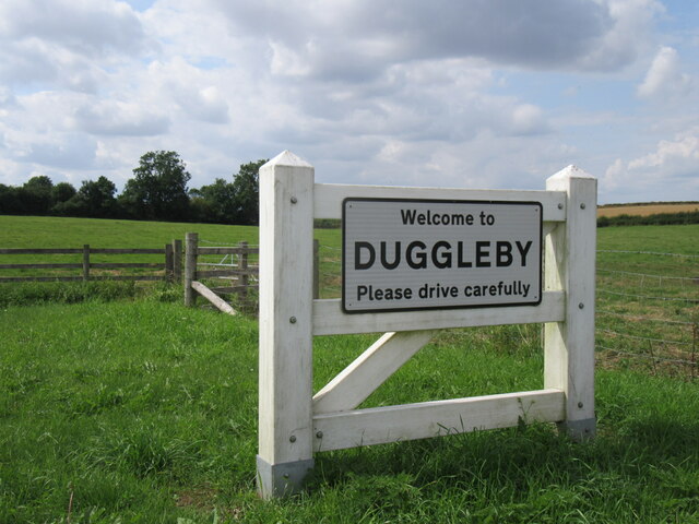
Duggleby
Duggleby is a hamlet in the civil parish of Kirby Grindalythe, in North Yorkshire, England. It was historically part of the East Riding of Yorkshire until...

Thirkleby, Kirby Grindalythe
Thirkleby is a hamlet in the civil parish of Kirby Grindalythe, Ryedale, North Yorkshire, England. Roger of Thirkleby (died 1260), a judge and Chief Justice...
Wharram-le-Street
Wharram-le-Street is a village and former civil parish, now in the parish of Wharram, in North Yorkshire, England. Until the 1974 local government reorganisation...
Wharram railway station
Wharram railway station was opened by the Malton and Driffield Railway in May 1853, serving the village of Wharram-le-Street in North Yorkshire, England...

Wagoners' Memorial
The Wagoners' Memorial is a war memorial in Sledmere, in the East Riding of Yorkshire in England. The unusual squat columnar memorial was designed by...

Eleanor Cross, Sledmere
A replica Eleanor Cross was erected in Sledmere, East Riding of Yorkshire, in 1896–98. The tall stone structure was constructed by the Sykes family of...
Related Videos

Kirby Grindalythe and St. Andrew's Church. 'Come Ye Thankful People' Taken by DJI Mini 3 Pro
Kirby Grindalythe is a village and civil parish in North Yorkshire, England. It is situated about 8 miles (13 km) south-east of Malton.
Nearby Amenities
Located within 500m of 54.091822,-0.63429382Have you been to Low Mowthorpe?
Leave your review of Low Mowthorpe below (or comments, questions and feedback).